Travels With a Donkey in the Cevennes Western Half-Devil Monster Face in Leftpondia - Part 2
The plan for today was originally to:- finish at Miles City, and
- avoid Yellowstone National Park
but then I decided I did want to drive over the Beartooth Highway again after all. Which means you have to go through Yellowstone or suffer a lengthy detour via Cody. So east to Jackson WY then north, yes? Not according to Emily's little electronik brane, which routed me up US-20 to West Yellowstone and then into the park, which was at least a route I hadn't travelled before. And because National Parks are full of people intent on getting nowhere, and doing it at 20 mph, and because the Beartooth goes over a substantial mountain range, I thought Billings would be far enough.
 |
| "Gosh" said Thomas, "that building across the river looks tall enough for me to stand up in!" |
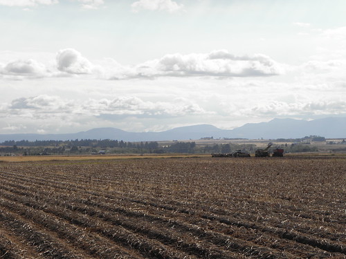
It's all agricultural Idaho at first, but the mountains creep ever closer to the east. Among them are Les Trois Tetons. Named by 19th century Francophone fur trappers. "Tetons" means "Breasts".
One can only conclude that the said trappers had been away from home too long.
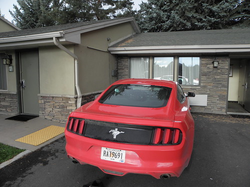
There's something about driving through USAnian National Parks that releases my inner Clarkson. Look, I don't care what you've just seen at the roadside. A ground squirrel, an outsize and hairy cow, the flagship of the Romulan invasion fleet, the crowned heads of Europe doing a vigorous soft-shoe shuffle to the tune of Sousa's "Liberty Bell" while stark bollock naked, anything. You do not come to a dead stop in the middle of the road. Find somewhere safe to park your vehicle and get out and walk. I also learned today that if the Ratmobile actually has ABS, it doesn't work very well. Or, indeed, at all. I had to peel Thomas off the windscreen. Twice.
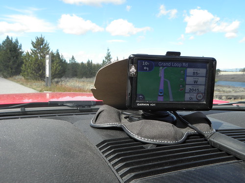 |
| "I'm not sure you should be getting all close and confidential with Emily like that" chided Mr Larrington. "Best view in the house, knoworramean" leered Thomas, suggestively. |
Yellowstone hav a very interesting history if you are interested in hist. which few boys are, but I left all the bumf the Park Service hand out in the car. But because it's basically a colossal volcanic caldera sooner or later the whole thing is expected to go "bang". Big time. If that happens before climate change, Donald Trump or a disease contracted from a dirty telephone wipes out the human race there will be alarums and excursions over much of western Leftpondia so see it as soon as possible in case it wipes out the nearest major airports.
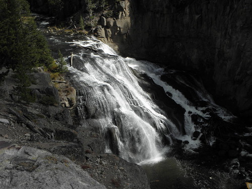 |
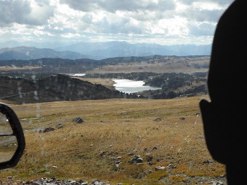
| Gibbon Falls, Yellowstone NP |
Gibbon Falls was one of the good bits I hadn't seen before. Doubly so for the mirthsomeness of the word "gibbon".
Out of the NE entrance ["Eh?" - Ed.] and through Silver Gate and Cooke City to the foot of the Beartooth. This was actually closed by SNO last month (thanks to Reader Andrij for the tip-off, as well as the advice to "bring a jumper") and I went over it in a blizzard in 2010 but today it was sunny and not actually that cold were it not for the Mighty Rushing Wind that meant Thomas had to stay in the Ratmobile lest he arrive in Canuckistan a day earlier than scheduled. The views are Dead Good.
 |
| "It's certainly different from Amsterdam!" noted Thomas. "O RLY?" said Mr Larrington. "Yes. Yes, it is" replied Thomas |
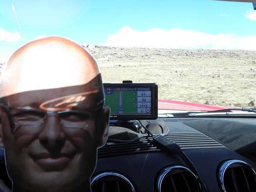 |
| "Look at me, Ma! Top of the world!" exclaimed Thomas, grimly determined to get at least one movie reference into today's instalment. |
Emily says we're 3343 metres above sea level while the locals say:
 |
| Sign has been replaced since the last time I was up here in 2011 |
 |
| "I've seen what Mr Larrington does to hire cars" said Thomas, nervously. "If we're going down there I'd like to go back inside my nice cosy road atlas!" |
A flat run along the Yellowstone River, which uses the NW entrance to find its way out of the park, to finish the day. And hopefully the lashings of chilli and garlic on tonight's dinner will see off the clod which is threatening to engulf my nose. Will they let me into Canuckistan if I have a clod? And what will become of me if the rest of Team Cygnus discover that I haven't been softening my Stroopwafels in the approved manner, because the diameter of my tea mug exceeds that of my Stroopwafels?
Edit: Thomas' Road Trip now has its own flickr album.
Edit: Thomas' Road Trip now has its own flickr album.


Please relay approved manner for tea softening of Stroopwafels. I have but tien remaining. Joyce
ReplyDeleteSee today's Automatic Diary entry (once I've gotted round to writing it).
DeleteUsing Idaho's Highway 20 you passed within a league of my sister and brother's cat ranch alongside the North Fork of the Teton River.
ReplyDelete