No smoke, fog or general murk this morning, but this state of affairs didn't last long, as can be seen from this photo
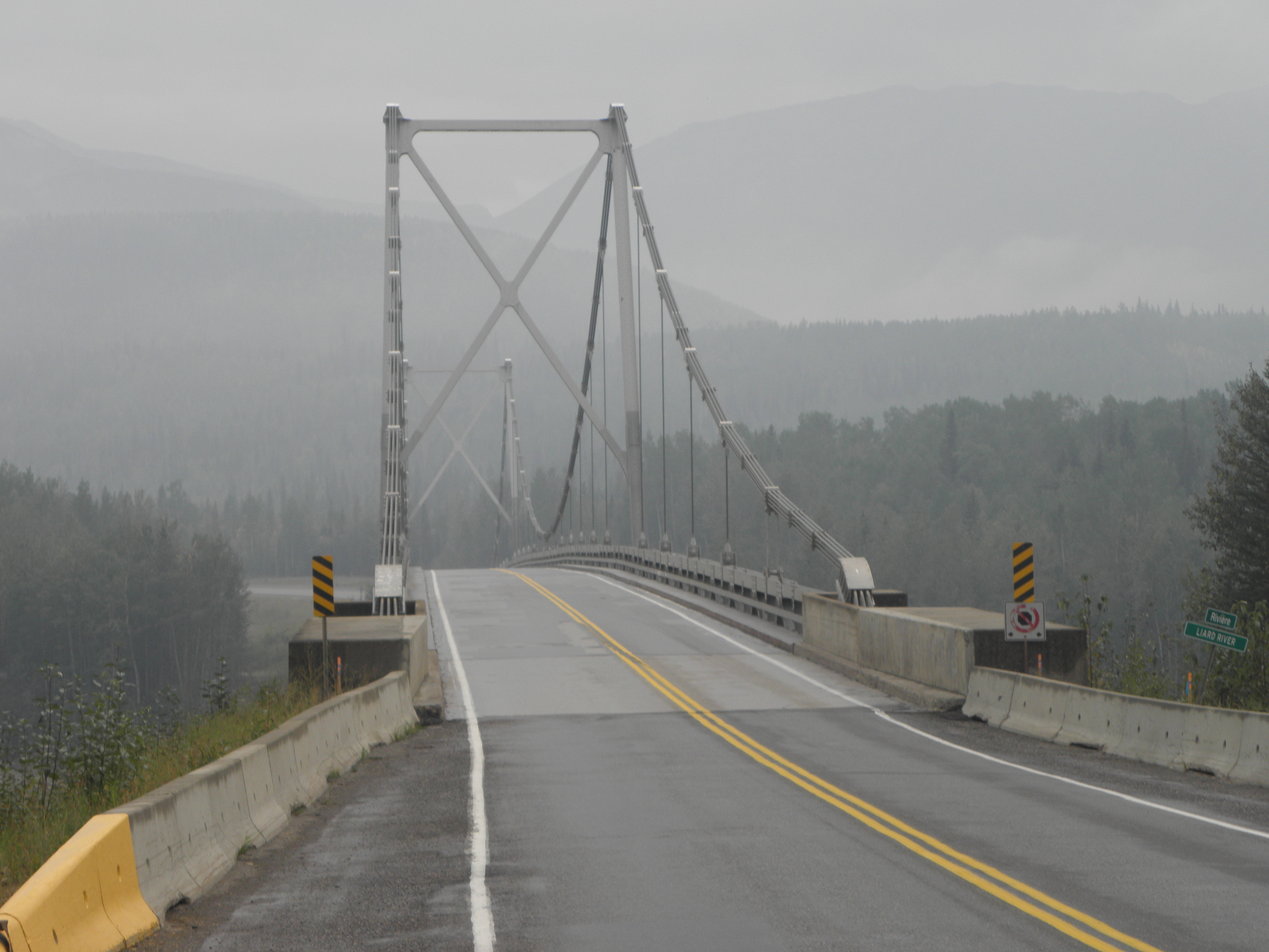 |
| Rather fine suspension bridge across the Liard River near, er, Liard River |
though there was a recurrence not far further on at Lower Post, where there actually was an actual fire actually burning, albeit a rather small and sad one that probably got put out by one of the many heavy showers before Pugh, Pugh, Barney McGrew, Cuthbert, Dibble & Grubb could finish their beans on toast, slide down the pole and crank up their fire engine.
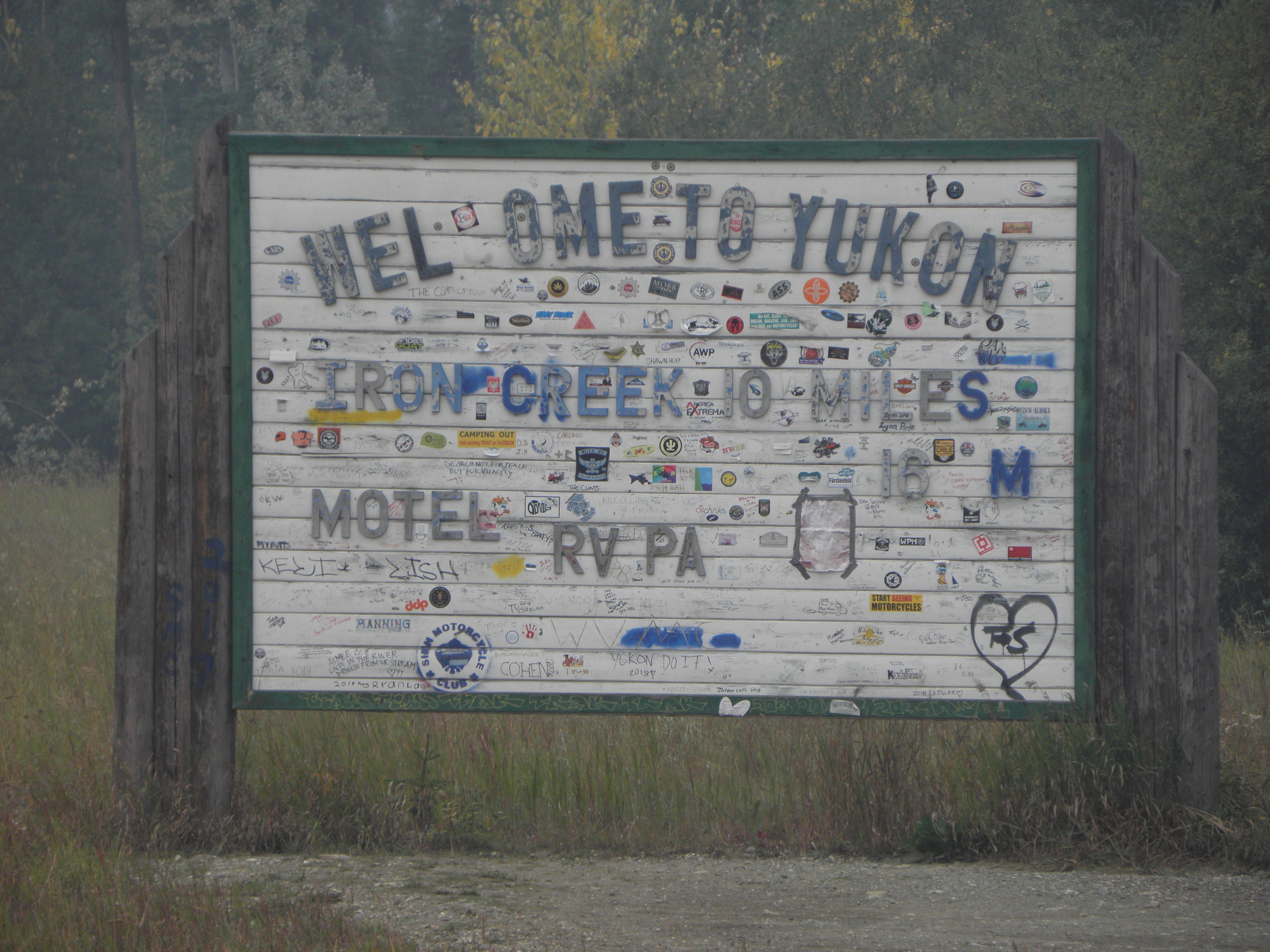
So the Yukon Territory has finally been reached, though not for long as the physical geography of the place pays little heed to a line on a map drawn by the white man and thus the road dips back and forth between Yukon and BRITISH Columbia quite a few times before finally plumping for the latter. Definitely in Yukon is the wide place in the road known as J37. This being the point at which Highway 37 joins the Alaska Highway; from here to the other side of Whitehorse there's only the one road**. I'm intending to head back south down Highway 37 next week, if there's anything left unburned at the other end.
The Continental Divide in these parts is also in Yukon - just - so I've been flogging uphill most of the day hence the noticeable increase in the fuel consumption of That Shitbox Dodge. Rivers with any sense to the east end up joining the Mighty Mackenzie and thus the Arctic Ocean; those on the west feed the Equally Mighty Yukon and the Bering Sea. It's all downhill from here.
Finally the road makes up its mind to stay in Yukon until it reaches the international border and crosses an arm of Teslin Lake over this rather splendid bridge:
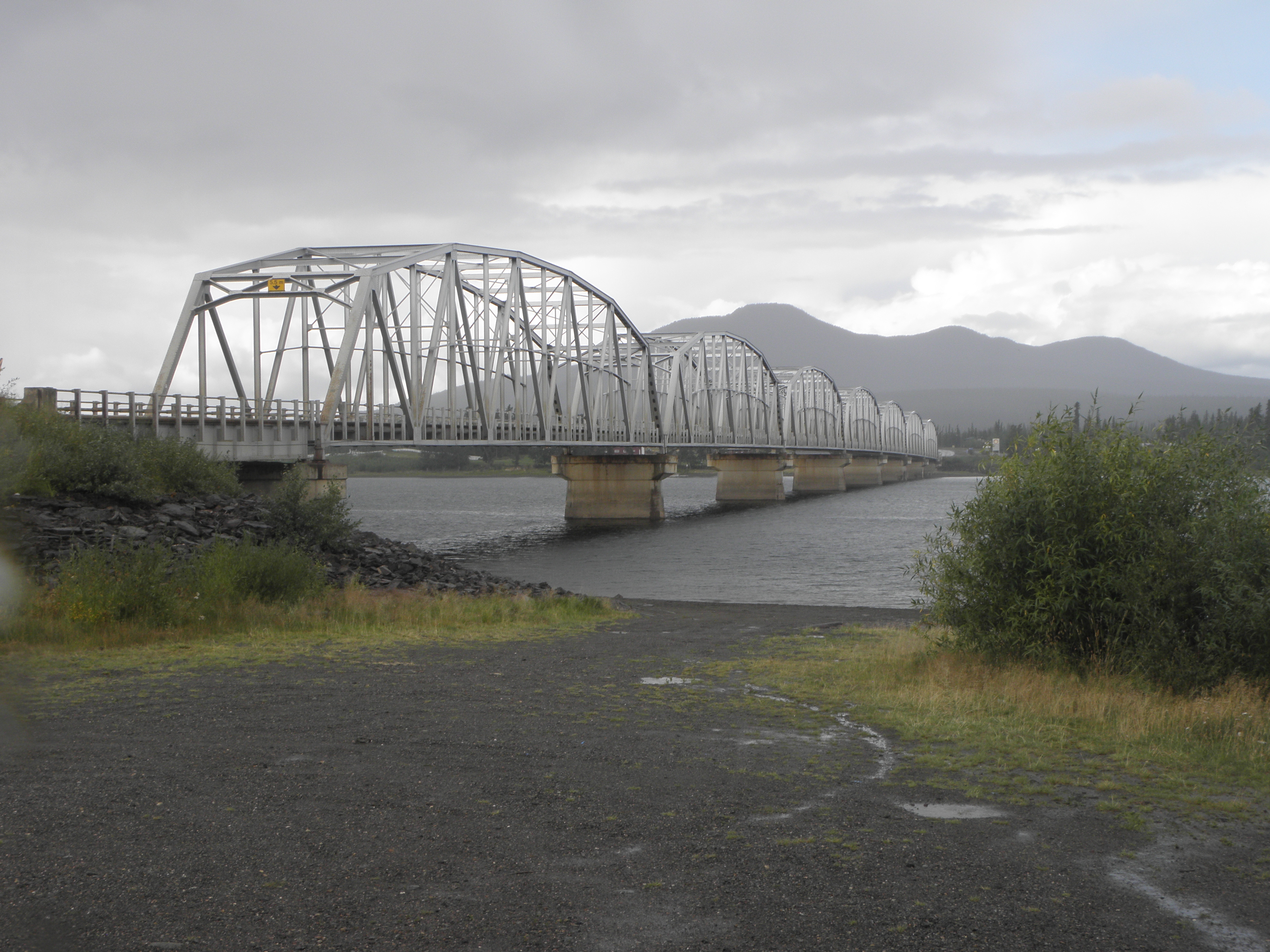
If you look closely through your Junior Pocket Microscope (Model 3a) you can see the Nisutlin Trading Post & Motel at the top of the hill, and not the soggy bloke I gave a lift to so he didn't get any more soggy looking for a bolt to mend his dead pickup truck. Good Samaritian, me, innit!
One day, someone will invent a cereal dispenser for breakfast buffet operations which is capable of doling out a portion of Frosties without spraying half of them across the landscape. That person will become rich beyond the dreams of avarice.
* Dr Frederick Cook (definitely) and Rear-Admiral Robert Peary (highly likely)
** Actually that's not strictly true but only a madman would take the route via Ross River.


No comments:
Post a Comment
O hai, spammers!
All comments are moderated so don't bother.
Kthxbai!