Friday 31 August 2018

Day 11: Tok AK - Chicken AK

Here, as promised, is a graphic demonstration of the wikness of the Cleft In The Rock B&B in Tok.  And I'd like to see Blackberry Wood's Viviane Oblivion try to swallow that saw...

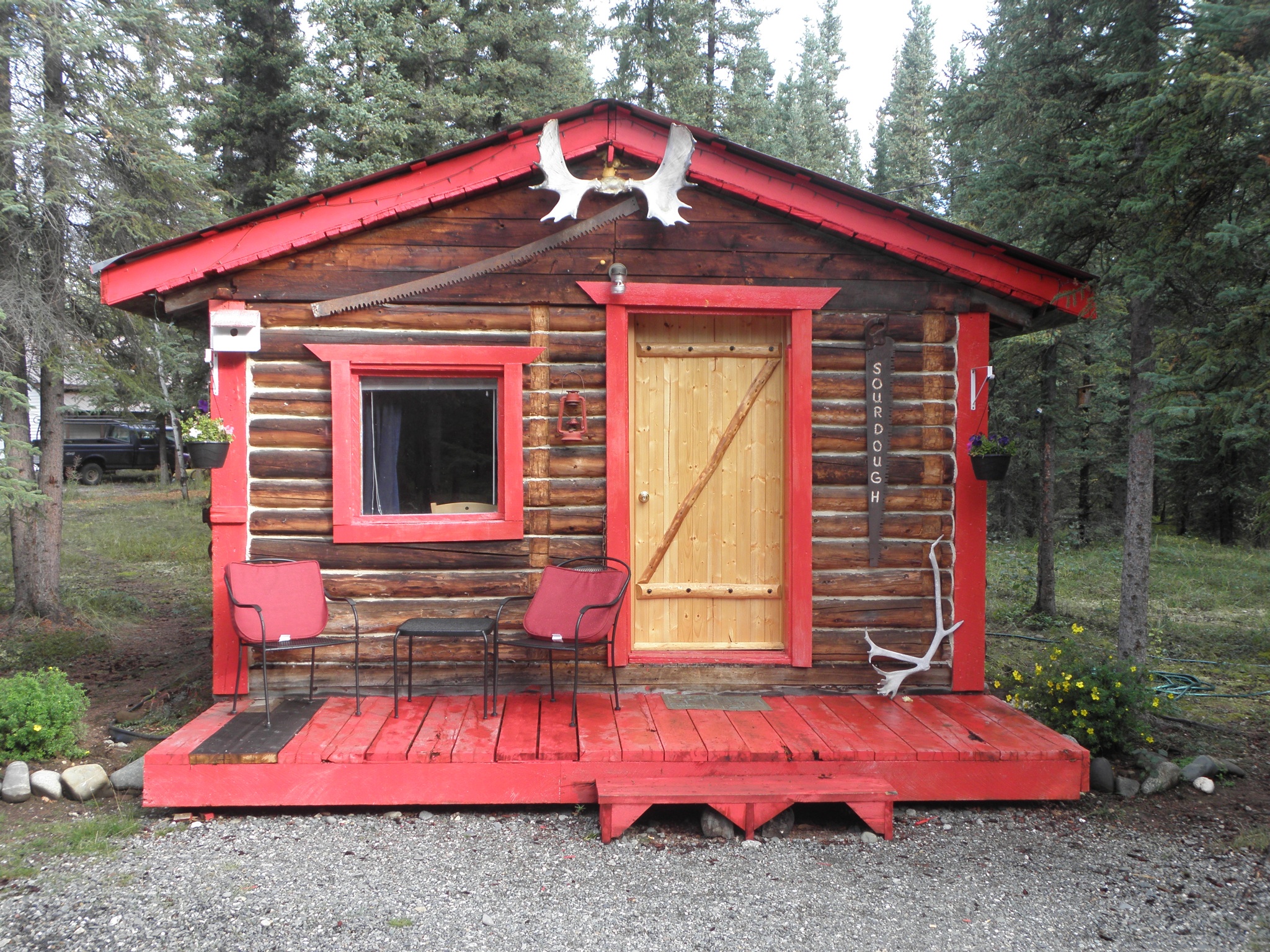
Thursday night's abode
Breakfast was good too.  Reindeer sausage.  One piece left after everyone else had gone, but Colby the dog got it before I could, chiz.  Lack of sausage notwithstanding, I delayed departure as long as possible because some kind of route-planning tomfoolery meant only 120 km today.  There must have been a reason for this, but I cannot for the life of me remember what it was, as Anchorage to Chicken would have been no problem.

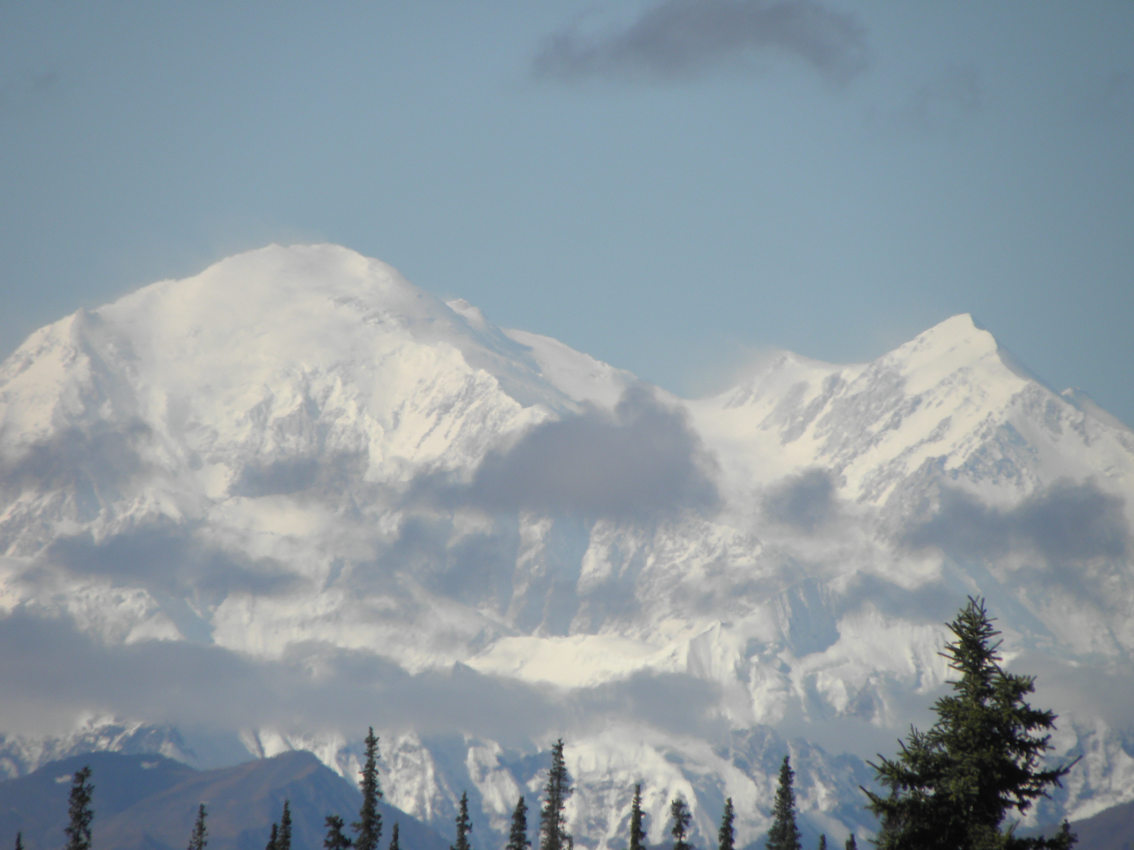
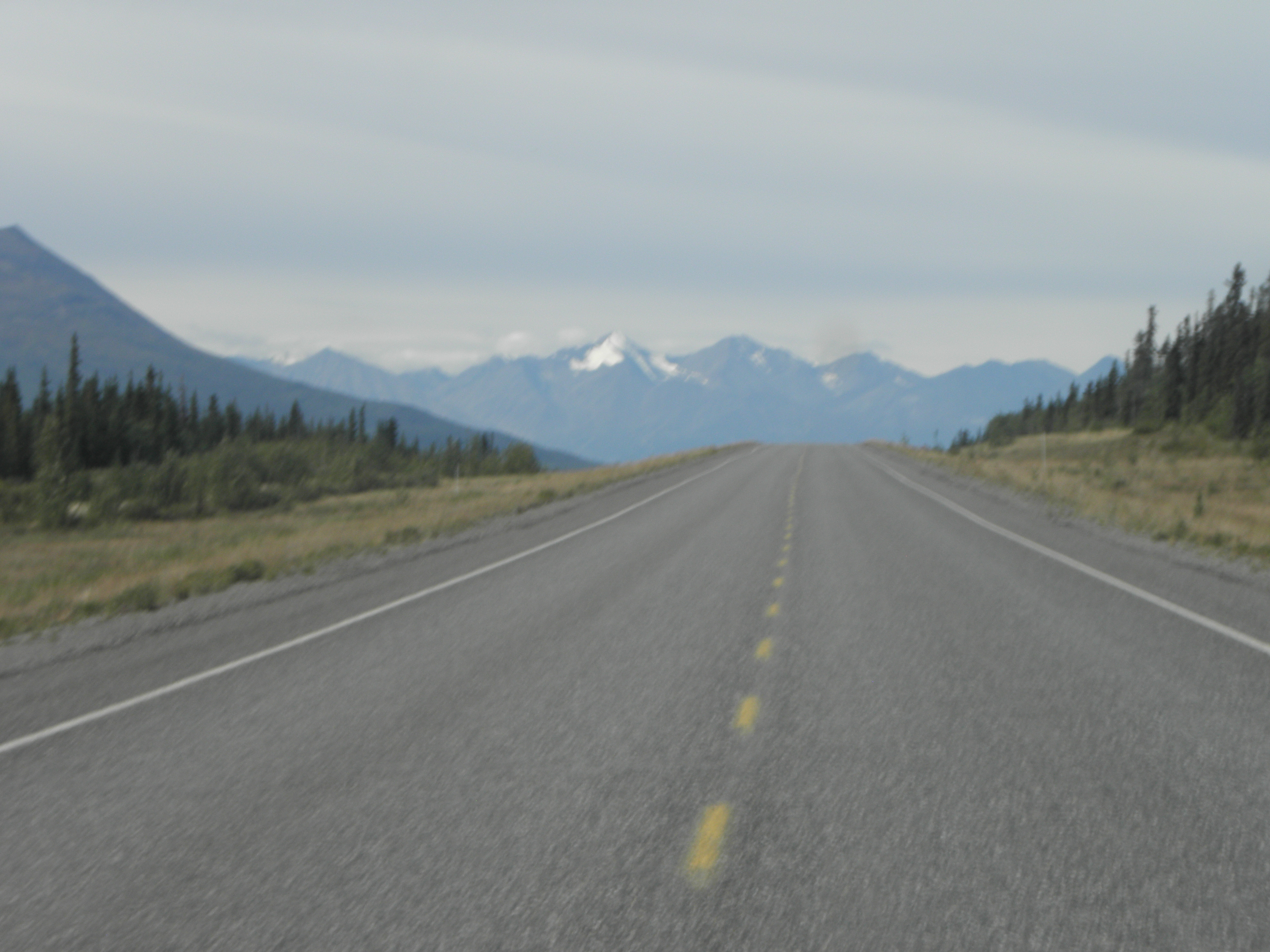
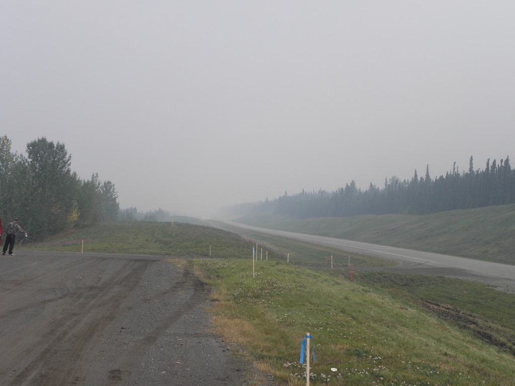
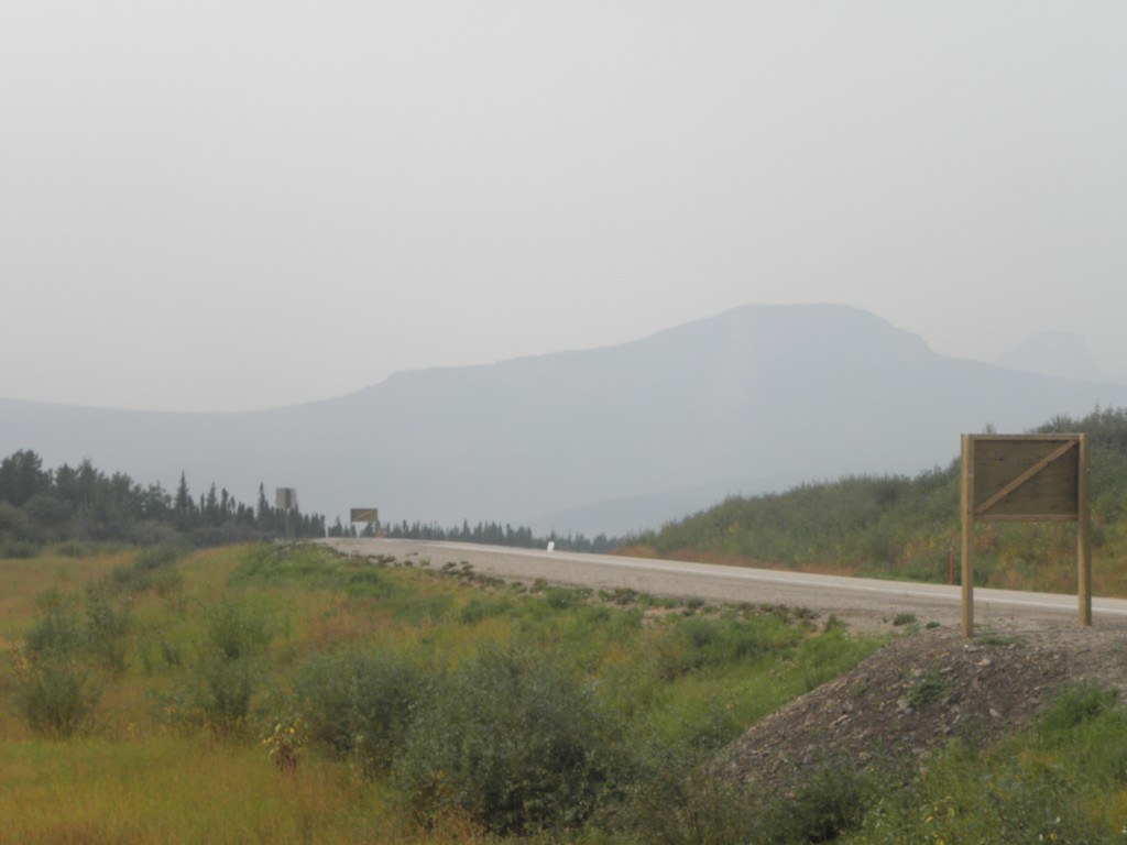
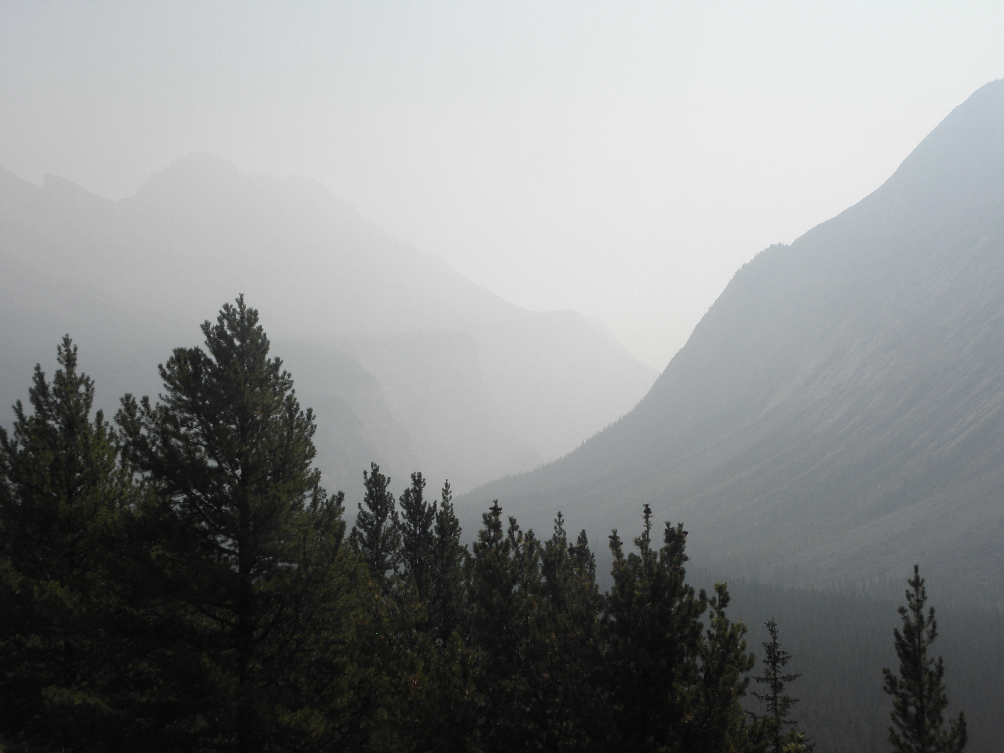
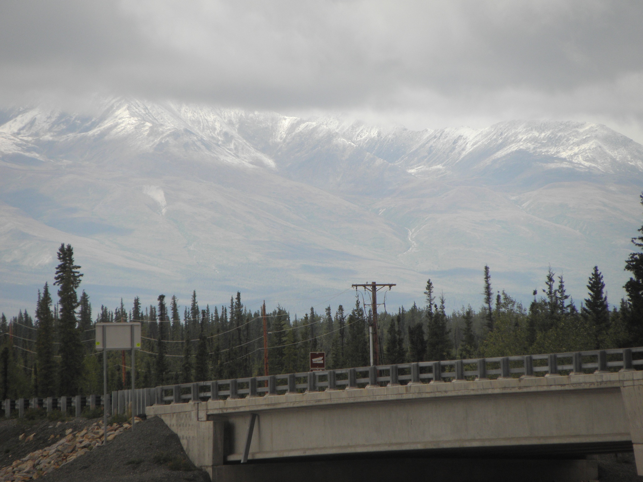
This gave me lots of time to faff about at the roadside taking pictures of inconsequential things, such as these mountains which didn't have SNO on them on the way up:


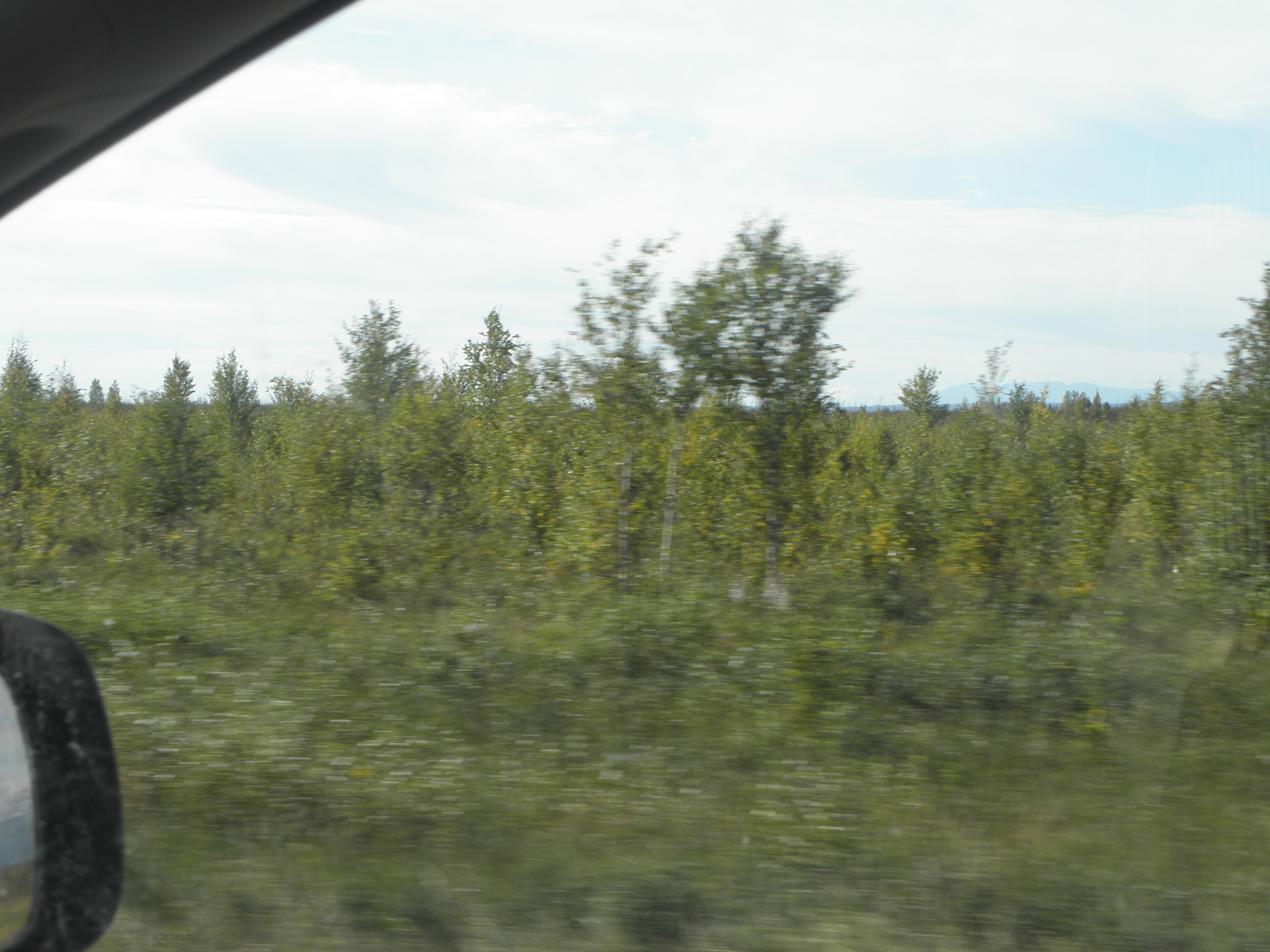
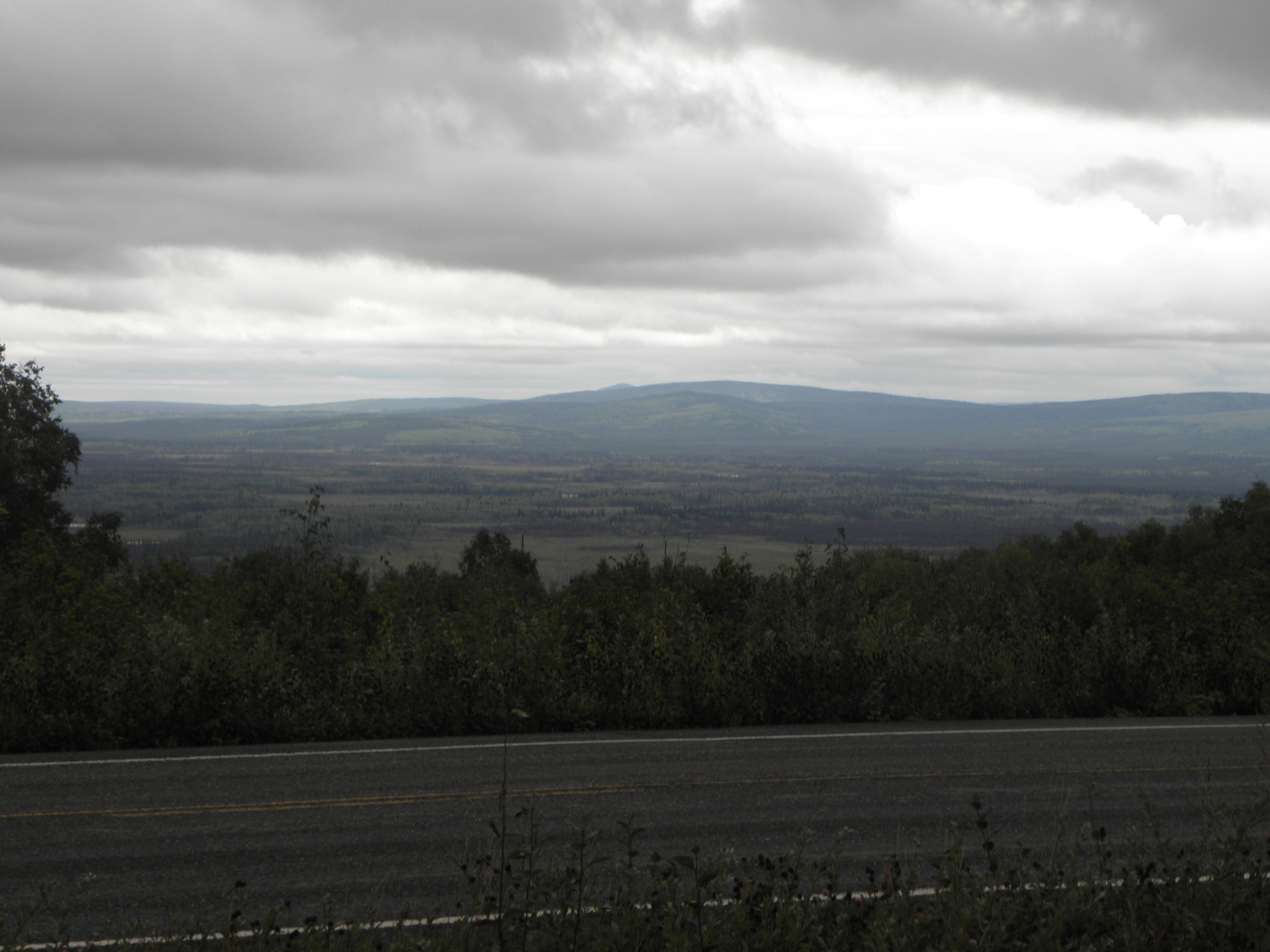
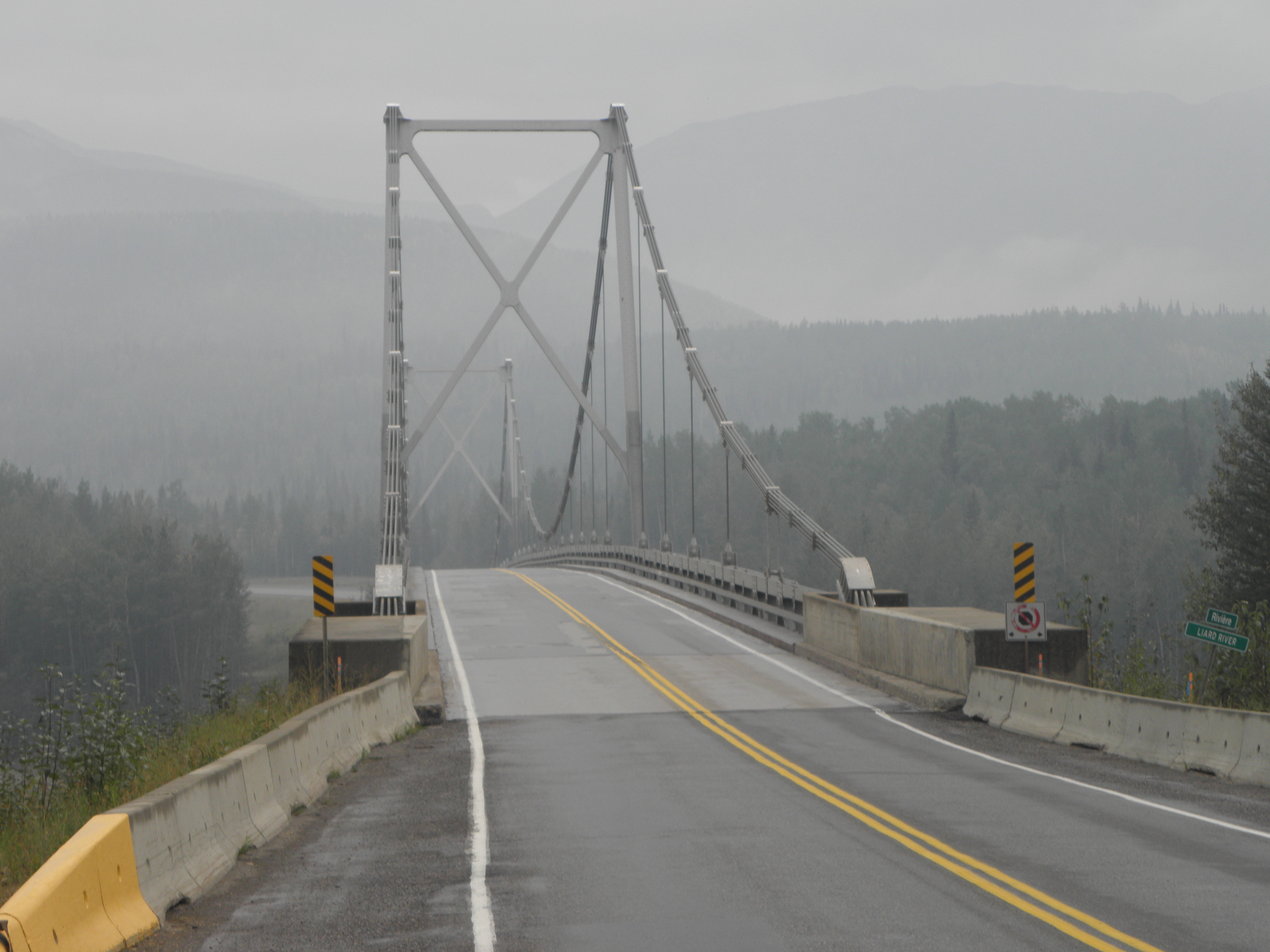
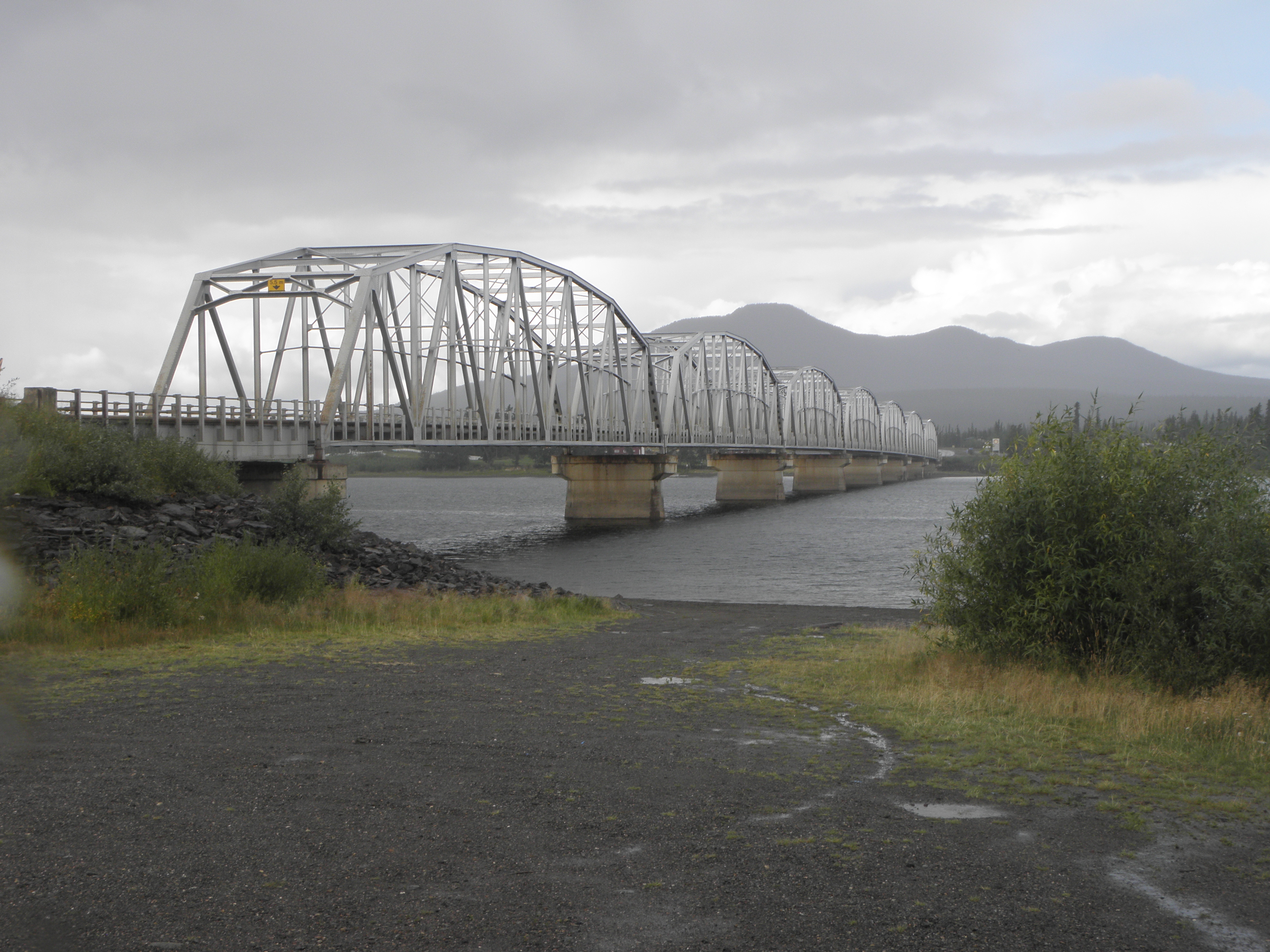
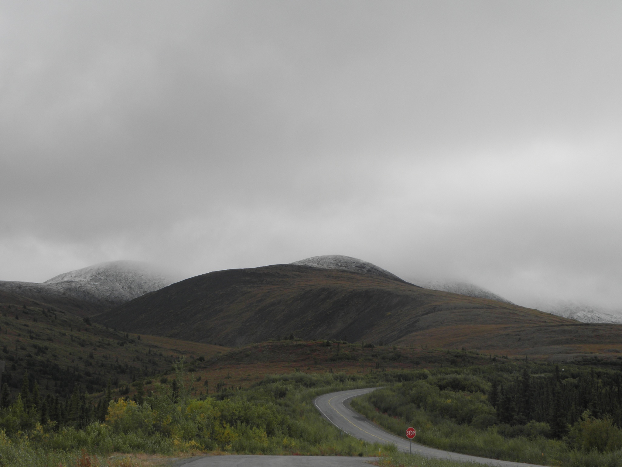
and the general scenery to be found on the Taylor Highway, which is to be found 12 miles back down the Alaska Highway towards Canada.


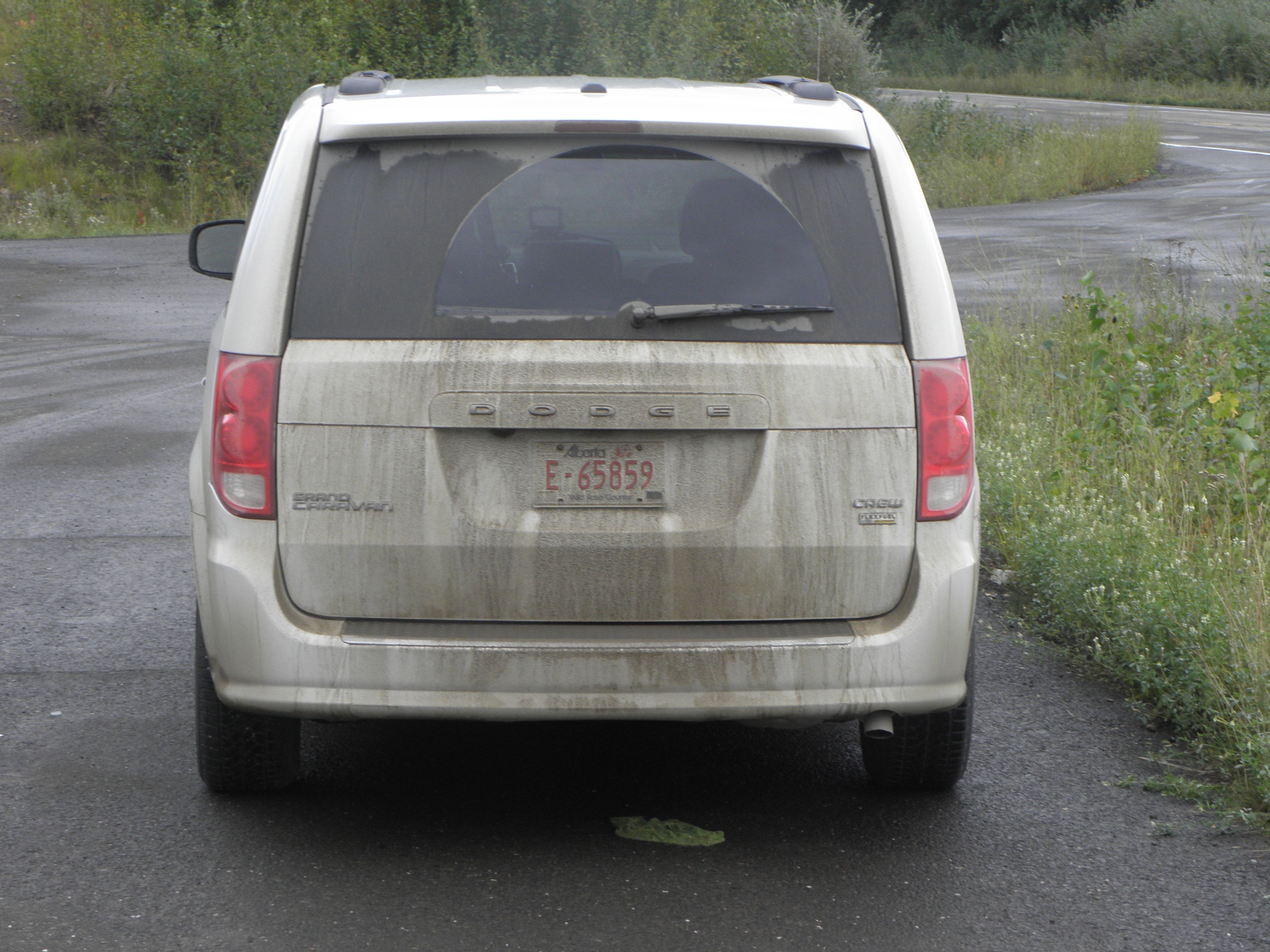
Chicken is 66 miles up the Taylor and unlike most of the rest of Alaska, has a dearth of tracks leading off into the trees, at the end of which you just know are to be found the abodes of Trump-voting gun nuts in camouflage.  The Taylor is supposed to be paved all the way here, but contains plenty of so-called "gravel breaks" where they've taken the asphalt away because Damage.  If it had been raining convincingly these would have replenished the diminishing stocks of Mudde on the flanks of That Shitbox Dodge, but it was mostly just cold and windy.

Passing time at the roadside, I learned that That Shitbox Dodge actually does have a spare wheel, albeit of the poxy spacesaver variety, and that to reach it you have to assemble some sort of Tool and loosen a nut hidden under the mat in one of the storage holes in the centre console, thereby allowing it to fall into the Mudde.  This discovery means I will have fewer qualms about not tackling the mostly-gravel road from here to the border, where I will not cross back into Canada, fail to cross the Mighty Yukon on the ferry at Dawson City and not take the Klondike Highway down to Whitehorse, because that would be Naughty.

And so to Chicken, which hav a very interesting history if you are interested in hist. which few boys are.  The story has it that the gold miners who were first on the scene wanted to call it "Ptarmigan" but they couldn't spell it.  Today the place consists of a handful of places catering to the tourist trade (and a few remaining miners) and lots of post-industrial gubbins, such as the Pedro Dredge


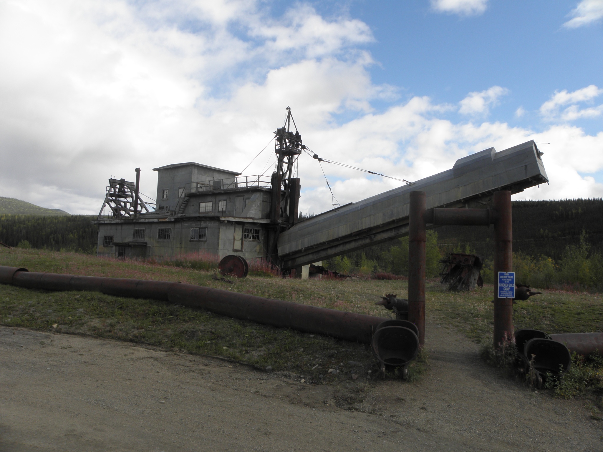
This was originally sited not far from Fairbanks, but was then dismantled and lugged up here.  At some point in its chequered past, a madman bought it for one dollar on condition that he moved it.  Which he did - not on his own, obv - in one piece.  It weighs over 450 tonnes.

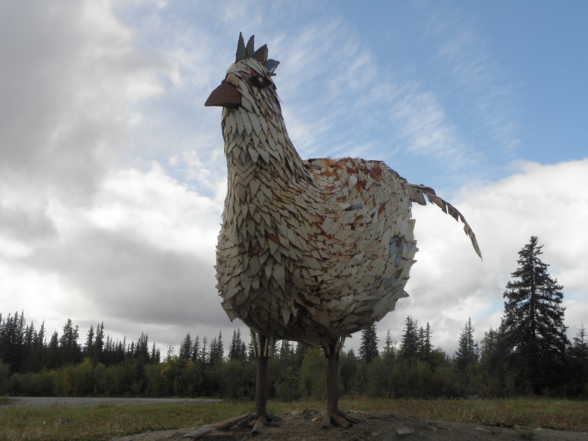
Everywhere else is infested with chicken-themed Stuffs, as you can probably imagine.


Do check out the photos on Flickr for more machinery and gallus gallus japery.

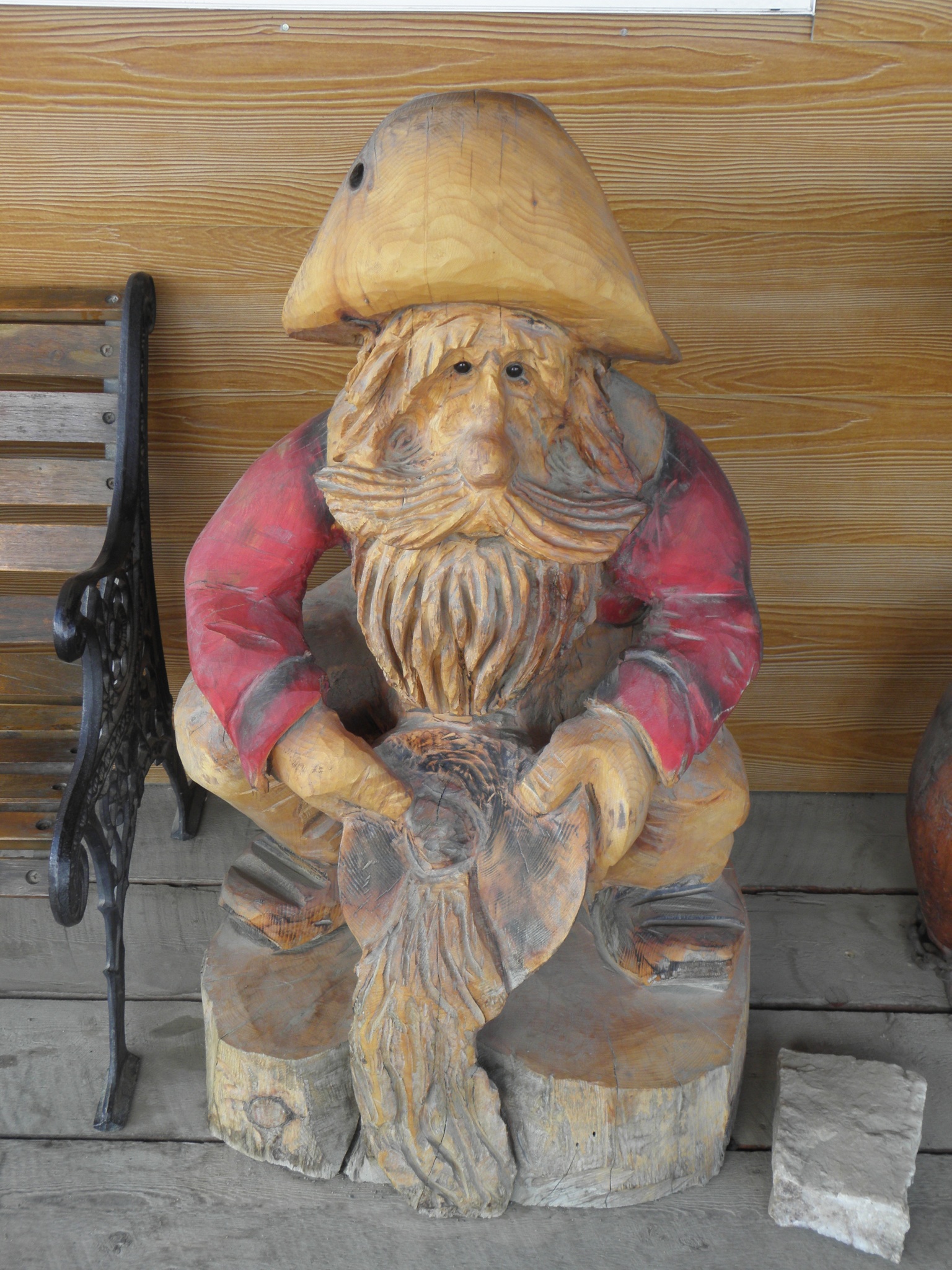
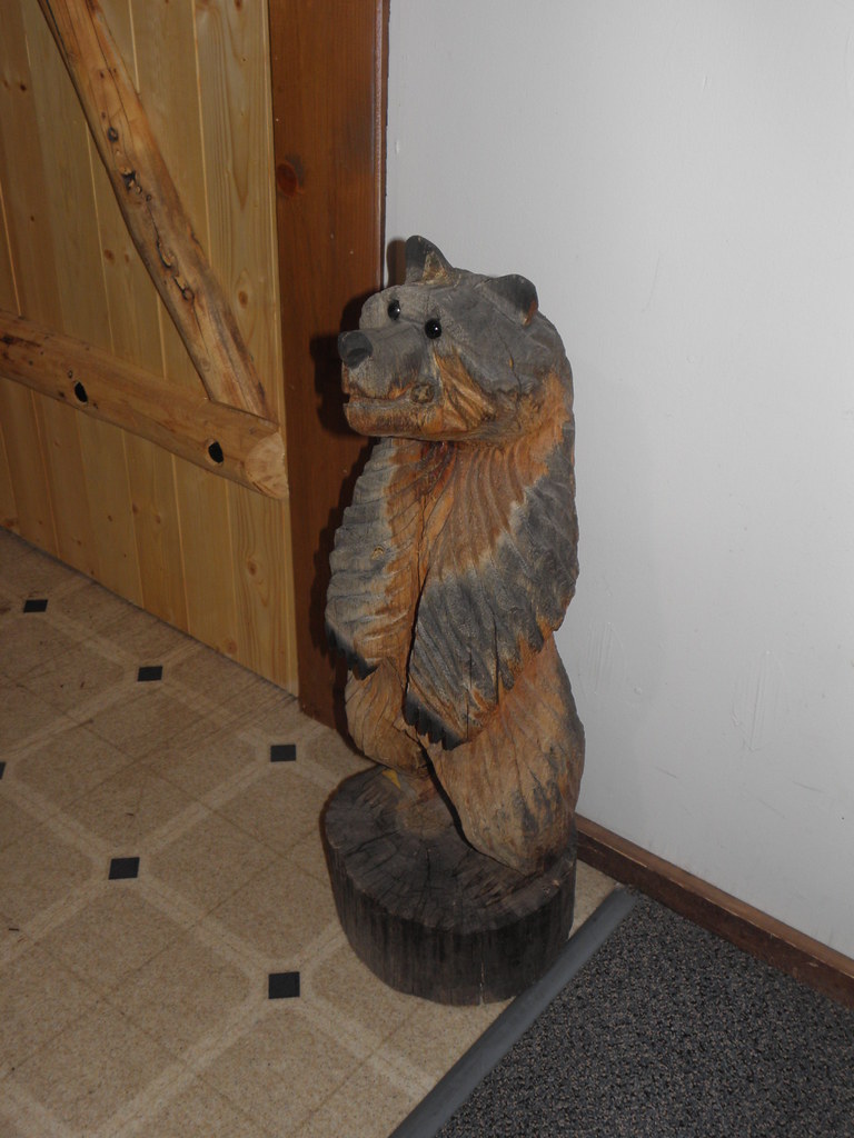
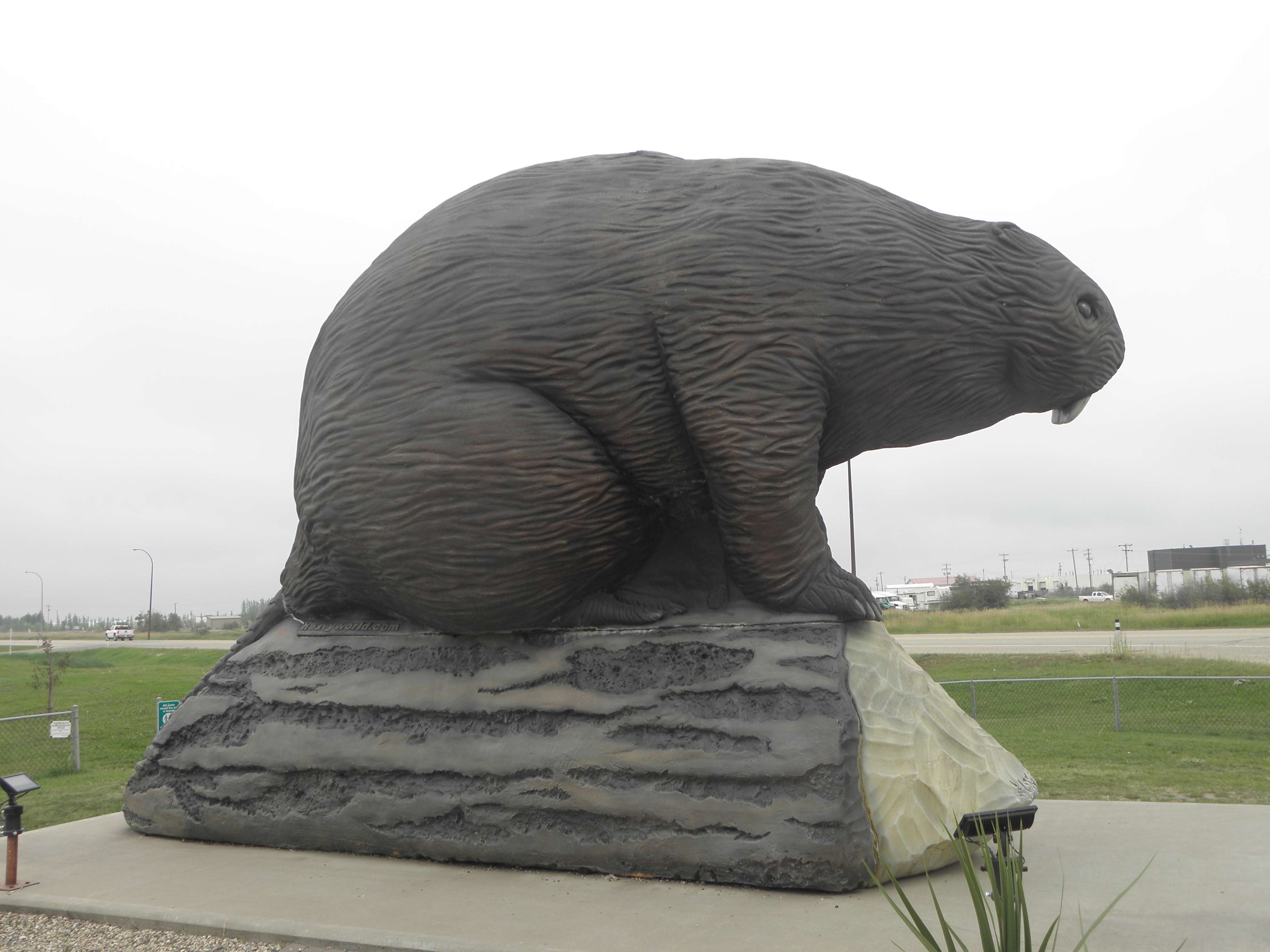
Only non-chicken-themed statue or sculpture in the whole of Chicken

Thursday 30 August 2018

Day 10: Anchorage AK - Tok AK

Strange things a-happening with That Shitbox Dodge this morning.  It has a power-operated tailgate.  This opened as instructed when it was time to secrete The Luggage, but steadfastly refused to close again when I prodded the button inside the car.  Fortunately, it did did respond to the remote.  Then the wireless lost its place in the Several of hundreds of music files stored on the USB stick and had to be scrolled through one screen at a time to get back to where I was yesterday, i.e. at track 516.  Each poke screen prod displays poke three poke titles prod.  Bah!

Today can be firmly classified as Not Exciting.  Retraced my wheeltracks up Highway 1 (aka the Glenn Highway) almost to Wasilla then followed it east up the valley of the Matanuska River.  This is the part of the world that lends its name to Matanuska Thunder Fuck which, I'm told, is a strain of cannabis sativa from these parts.

Coming out of Anchorage the Glenn Highway almost-Interstate standard, then turns into a wide two lane road for quite a long way before suddenly deciding it wants to be like an English B-road, complete with blind corners, steep hills and roadworks.  This is the main road between the biggest city in the state and the rest of the world.  But it does have some scenery, when the rain abates enough to allow it to be viewed.

The Matanuska Glacier
Not long after that it turns back into a sensible road all the way to Glennallen.  Left at the T-junction onto the Richardson Highway for a few miles then right onto the Tok Cut-off.  This was built some time after the Alaska Highway and slices about 120 miles off the trip between Anchorage or Valdez and the Canadian border, coz you don't have to flog all the way north to Delta Junction before heading east.  The middle bit is also rougher than a BEAR'S arse, as in "bumps that make you bang your head on the roof" rough.  And yesterday afternoon's warmy sunniness is but a fleeting memory as it was about ten degrees and raining all day.  Hence little incentive to stop for photographic purposes.  However, the Cleft Of The Rock B&B is wik and tomorrow I will take some pictures to demonstrate this wikness.  In the meantime, here is a BEAR:


Wednesday 29 August 2018

Day 9: Fairbanks AK - Anchorage AK

This morning's early snoutcast was a grizzled old boy from Texas, who complained not abut the weather but that he'd only seen one møøse so far on his travels.  He went up to the Arctic Circle and back yesterday, in a Chevrolet Spark which is not, as the name might suggest, an electric VEE-hickle but rather a direct-line descendant of the Daewoo Matiz or, put another way, about half the size of That Shitbox Dodge.  Brave man.

My fellow breakfasters were discussing guns, ammunition and what they had killed with them.  This may explain the shortage of møøse, and certainly brings home the fact that this is a very different place to, say, Godalming.  Where at least my phone will work.  Actually it appeared to have died altogether today but a little encouragement has got it replenishing its supply of voles again.  I'd have done that en route if That Shitbox Dodge had the USB charging-only ports mentioned in TF Manual, but it hasn't.  It has got a 115V AC outlet, so perhaps I should have broken out the mains lead and done it that way.  Anchorage is a city with nearly 300,000 inhabitants and yet the stupid thing still can't find a network to talk to.  Fuckles!

Program Emily, drive out down Airport Way in Fairbanks, take Highway 3 as instructed and "In 351 miles, exit right".  Navigation in these parts is generally not difficult.  Highway 3, aka the Parks Highway, has various types of scenery but apart from the lumps immediately next to Fairbanks and the Nenana River valley it is mostly flat and rather drear.  It is traversed by numerous rivers, which are crossed by bridges, but then you knew that.  And if you want to look at them, go to Flickr and find the "Bridges For CrinklyLion" album.  They're all there.

Nenana River in a non-flat bit.  Just noticed a bridge in there too.  Sorry...
There's one good bit, though, just after passing through Cantwell (which is good for a laugh if you're from YACF and happen to know Rogerzilla's real name), and that is when you come round a corner and find this staring at you:

Mountain, Alaska, Wednesday
A Proper mountain, that.  Denali is the highest thing on the Leftpondian continent this side of the Darien Gap and at 20,310'/6190m, is over a mile taller than anything they got in the Lower 48.  Good, isn't it?  Also nearby is this:


According to The Milepost:

Igloo City. This local landmark first advertised in the 1973 edition of The MILEPOST® as Tesoro Igloo Service, “scheduled for completion in 1973,” promising a hotel, restaurant, gift shop, fuel, tires and towing. The hotel never happened. In the 1976 edition, it advertised as Igloo Service, offering gas and diesel. Under new ownership in 1999, it appeared as Igloo City Resort, offering 24-hour gas and diesel, snacks and gifts. It closed in 2005.

After lots more flat bits, the road goes through Wasilla.  If you look out of the right of the motor-car as you head toward Anchorage, you will see this:

The Former Soviet Union*, yesterday
This, according to Republican wingnut, and downfall of the late Senator John McCain, Sarah Palin, is Russia.  Even with your trusty Junior Pocket Microscope (Model 3a) you will not see Russia from there, because it is more than 1100 km away.  On a clear day you can see bits of Russia from bits of Alaska, but not any bits accessible by road.  Ha!

Anyway, Anchorage may not be the furthest north of this year's meanderings but it is the furthest from Battle Mountain.  Accounting for the off-piste diversion coming up on Friday and Saturday, only about 5,000 km to go...

* behind tree

Tuesday 28 August 2018

Day 8: Fairbanks AK

There is an old Norwegian joke which goes something like this:  A bloke goes on holiday to Bergen.  It rains all day, every day.  On his way back to the station he meets a small boy.  "Hey, kid" he says, "does it ever stop raining in Bergen?"  Replies the lad "How should I know?  I'm only eight!".  This morning an early morning snoutcast who both looked and sounded disturbingly like Mick Belker out of "Hill Street Blues" said to me "Does it ever stop raining in Alaska?"  You set 'em up, mate, and I'll kick 'em into Row Z...

So I went back in for breakfast.  The TV in the breakfast room was showing a shitvert.  The background music to which being Boney M's "Sunny".  Irony may be turning into a lost art in the Lower 48, but it seems in rude health up here.  Must be the Canadian influence - they are, after all, the people who refer to the stretch of seashore north of Vancouver as "The Sunshine Coast".

After the shitvert the distascope went back to showing old episodes of "Deadliest Catch", which is from the same stable as "Ice Road Truckers", and doubtless mostly a load of old nonse too.  The somewhat tenuous link being that series 3-6 of "Ice Road Truckers" took place, at least in part, on the Dalton Highway.  And if you don't do your homework, you'd be forgiven for thinking that the Dalton starts immediately after the weighbridge on the outskirts of Fairbanks rather than 130 km up the tarmac of the Elliott Highway.  And that the Dalton is all dirt, which it isn't.

In order to prevent myself from doing something stupid, like for eg driving up the Dalton to the Yukon River bridge or the Arctic Cirle, I cunningly decided to not refuel That Shitbox Dodge, as it appeared to have enough motor-spirit left in the tank to take me to the start of the Dalton and back, but no great distance further.  This plan failed.  The Elliott is lumpy enough that the two ends of the string did not match up and I would perforce have to walk a Several of kilometres to the nearest source of motor-spirit on the way back.  So I had to fillup anyway.  The Elliott goes through a lot of this:

Alaska, Tuesday
and not much else.  Eventually you reach a junction.  The Elliott turn into a dirt road which carries on another 125 km to Manley Hot Springs; the Dalton heads 670 km north to Deadhorse and the oil Stuffs at Prudhoe Bay, parallel to the Trans-Alaskan Pipeline of which we spoke yesterday.

Trans-Alaska Pipeline in its (un)natural environment
There is a sign about 2 km on:


This is as far as I was prepared to go, as That Shitbox Dodge has a can of gloop instead of a spare wheel, it wouldn't be insured and it felt a bit odd at 80 km/h on the mud.  No thanks.  There are one or two companies in Fairbanks who actually rent vehicles specifically for the Dalton, thereby giving me a reason to come back.  In the meantime, That Shitbox Dodge ended up looking like this:

Hurrah for Mudde!
It remains to be seen whether Alaskan Mud has the adhesive properties of Colorado Mud or whether it will turn out to be a feeble brew that washes off in the first half-decent shower, like Canadian Mud, but Nice Man Georges at Hertz reckons that if it's still white when I bring it back than I haven't been having enough fun.  I have, however, bought a sponge to keep the lights, number plate and mirrors clean, because I'm growing responsible in my dotage.  A bit.  It's about 600 km to Anchorage and only 4,800 from there to Battle Mountain...

Monday 27 August 2018

Day 7: Beaver Creek YT - Fairbanks AK

OK, this is totes bizarre.  Can't upload any photos from the laptop, but download them to the iPad first and then fire them up to Flickr and they upload just like that.  Albeit that the iPad downsizes them somewhat first.  Still, there are now pictures from a grey day on the roads of north-western Leftpondia.

No issues crossing the border except that I had to park up and go into the office for the formalities, and thus got wet.  Because it rained with differing degrees of enthusiasm all day.  There is, unsurprisingly, little difference between the Yukon side of the frontier and the Alaskan one, except that the road on latter is in worse shape.  Lots of lakes:


and the odd river


and many many trees all the way through Tok and on to Delta Junction.  Here the Alaska Highway meets the Richardson Highway, which is the road from the port of Valdez up to Fairbanks, and thus stops.


The Alaskan didn't bother to renumber the mileposts after the Canadians trimmed chunks off the original route but whichever way you slice it, it's been 3400 km from Calgary and all the Alaska Highway except a 62 km stretch between Jake's Corner and the junction with YT-2, which will be done on the way back.  Delta Junction has all sort of gubbins on show, including a pig.


No, really.  It's a pig as used for cleaning the insides of pipelines, and the reason they have one lying around is this:


The Trans-Alaska Pipeline which carries oil from Prudhoe Bay on the Arctic Ocean down to Valdez, where drunken tanker captains can pour it into the sea.  Or something.

More rain and rivers until you approach the North Pole.  Well, a North Pole.


This one's a fake, though, as any fule kno the real one, where Santa really lives, is near Rovaniemi in Finland.  Money back, please.

Finally I reached Fairbanks.  Feels strange - dual carriageways, traffic lights and people everywhere.  Tomorrow I have the day off, unless I choose to go somewhere, such as not the Yukon River bridge or the Arctic Circle as they both lie up the Dalton Highway and you're not supposed to take your hire car up there, on account of how they haven't surfaced it (and probably never will).  And if you leave a comment to the effect that I should go anyway, I probably won't notice it, because Blogspot has decided not to bother e-mailing me notifications of comments awaiting approval, or else Yahoo is eating them before they even reach my spam folder.

Sunday 26 August 2018

Day 6: Teslin YT - Beaver Creek YT

I do not know what they had in the basement under last night's room*, but it was chucking out enough heat that I slept on top of the covers with the window open and was still too hot.  Now they probably think I'm the kind of oaf who gets too drunk even to get into bed.  Bah!

Back on the road and along Teslin Lake, or at any rate the northern end of it.  It's about 120 km end to end with Teslin village about halfway down.  The Teslin River flows out of the north end at or near Johnson's Crossing, which is also the start of Highway 6, aka the Canol Road.  This was another wartime project, built to service an oil pipeline from Norman Wells on the Mackenzie River, but these days stops at the Yukon/Northwest Territory border.  Mad people have, I understand, attempted to traverse the NWT end on foot and by mountain bike, though heaven knows why as if you do get to Norman Wells:
  1. It's on the other side of the river, and
  2. There's no road out anyway.
A few miles further on I take my first detour off the Alaska Highway since turning off for the Shell station in Fort St. John.  There's a so-called "scenic loop" along Highways 8 and 2, y'see.  Highway 8 is much like the Alaska Highway (which is also Yukon Highway 1 in these parts) only narrower, wigglier and lacking in shoulders.  Also it appeared to descend into a thick cloud of smoke, which nonsense I thought I'd left behind in BC, but it seems this stuff was actually fog after all, judging from the moisture dripping from That Shitbox Dodge's mirrors. On the way it crosses the Tagish River, on one of these:


I was hoping for a bridge across the Mighty Yukon too, but subsequent investigations have shewn it to be on the bit of the Alaska Highway I missed.  However, I shall find it on the way back south.  Hurrah!

At Carcross, Highway 2** heads north to the Alaska Highway and south to Skagway, wot is in Alaska but cannot be reached by road without passing through Canada.  Same applies to Haines, which is fewer than twenty miles from Skagway on the ferry and 350 miles by road.  Skagway is not big but it is a port of call on the Alaska Marine Highway - the ferry route that runs all the way down the coast to Bellingham, not far from Seattle.  So there's a good deal of traffic on Highway 2, as indeed there is when the Alaska Highway is rejoined.

Because that's at Whitehorse, capital of the Yukon Territory and home to about 25,000 people.  The Alaska Highway bypasses the town but there are still - shock! horror! traffic lights.  The first, I think, since Fort Nelson.  Fortunately this terrible state of affairs is short-lived, as the road goes back into the great bugger-all.


Somewhere in that lot is Mount Logan, the highest point in Canada, but I think it's round the back.

Turn right at Haines Junction to stay on the Alaska Highway and along Kluane Lake for some considerable distance.  Kluane Lake hav a very interesting history if you are interested in hist. which few boys are.  Not that long ago in geological terms - 3-400 years - its outflow went south to the Gulf of Alaska, but then some glacier-related shenanigans blocked that exit causing the water to find an alternative route, ending up in the Mighty Yukon instead.  No doubt to the confusion of any salmon who were away at sea when it happened.  Just round the corner from here is Soldier's Summit, where the Alaska Highway was officially opened in November 1942.  Not sure why they chose here, mind, as the workers from the Alaska end met those coming north at Contact Creek, which is about three corners on from that "Welcome To Yukon" sign pictured yesterday.


Kluane Lake
There are still some triff glaciated mountains on the west side of it.


They are digging up quite a lot of the last 40 km to Beaver Creek, though it was after the diggings-up that the pickup in front fired a stout rock at That Shitbox Dodge, putting a large chip in the windscreen, and to add insult to injury he had a pro-Trump sticker on the back of his wanky truck.  Anticipating this kind of nonsense in the Far North, however, this Unit forked out extra for the insewerants against such things.  Hurrah!

So we're in Beaver Creek and the Canadian border post is just up the road.  The USAnian one is a further 30 km along.  I expect there are Reasons.  There are also Big Burrdies:


I tried to teach this one to say "Nevermore" but he flew off to look for caribou's eyeballs or some similar delicacy.  Now I just have to hope that the sudden stabbity pain in my left ankle is as a result of sitting on a chair too low for my lengthy shanks and not a recurrence of the Mopar Foot which nearly crippled me in Amarillo in 2012...

* My suspicion is a meth lab.
** Note for Mrs Pingu; at a rest area along Highway 2 I encountered not bingly-bongly goats but a bingly-bongly bicycle!

Saturday 25 August 2018

Day 5: Muncho Lake BC - Teslin YT

Arctic explorers were always keen, if they could not actually reach the North Pole, to establish a new Farthest North.  Some were so keen, in fact, that they pretended to have reached the North Pole even when they hadn't*.  Mine personal Greatest Northing had been Dunnet Head, in that Scotlandshire, from 1970 until June, when Miss von Brandenburg and I took the A966 around the end of Loch Swannay on Mainland, Orkney.  And then today.  Somewhere between Muncho Lake and Liard River.  And they haven't even put up a blue plaque.  If you care about such things, Teslin is on a similar latitude to Lerwick and Helsinki and hands up if you guessed Lerwick is as far north as Helsinki.  I didn't.

No smoke, fog or general murk this morning, but this state of affairs didn't last long, as can be seen from this photo


Rather fine suspension bridge across the Liard River near, er, Liard River
taken a scant few kilometres closer to Alaska.  Nor did the interesting wiggliness of the road as the road builders found their way out of the mountains and went back to the kind of rolling stuff prevalent south of Fort Nelson.  The smoke - and it definitely was smoke today - finally cleared just about here:


though there was a recurrence not far further on at Lower Post, where there actually was an actual fire actually burning, albeit a rather small and sad one that probably got put out by one of the many heavy showers before Pugh, Pugh, Barney McGrew, Cuthbert, Dibble & Grubb could finish their beans on toast, slide down the pole and crank up their fire engine.

So the Yukon Territory has finally been reached, though not for long as the physical geography of the place pays little heed to a line on a map drawn by the white man and thus the road dips back and forth between Yukon and BRITISH Columbia quite a few times before finally plumping for the latter.  Definitely in Yukon is the wide place in the road known as J37.  This being the point at which Highway 37 joins the Alaska Highway; from here to the other side of Whitehorse there's only the one road**.  I'm intending to head back south down Highway 37 next week, if there's anything left unburned at the other end.

The Continental Divide in these parts is also in Yukon - just - so I've been flogging uphill most of the day hence the noticeable increase in the fuel consumption of That Shitbox Dodge.  Rivers with any sense to the east end up joining the Mighty Mackenzie and thus the Arctic Ocean; those on the west feed the Equally Mighty Yukon and the Bering Sea.  It's all downhill from here.

Finally the road makes up its mind to stay in Yukon until it reaches the international border and crosses an arm of Teslin Lake over this rather splendid bridge:


If you look closely through your Junior Pocket Microscope (Model 3a) you can see the Nisutlin Trading Post & Motel at the top of the hill, and not the soggy bloke I gave a lift to so he didn't get any more soggy looking for a bolt to mend his dead pickup truck.  Good Samaritian, me, innit!

One day, someone will invent a cereal dispenser for breakfast buffet operations which is capable of doling out a portion of Frosties without spraying half of them across the landscape.  That person will become rich beyond the dreams of avarice.

* Dr Frederick Cook (definitely) and Rear-Admiral Robert Peary (highly likely)
** Actually that's not strictly true but only a madman would take the route via Ross River.

Friday 24 August 2018

Day 4: Fort St. John BC - Muncho Lake BC

The good news is that I've reached the northernmost page of my road atlas.  The bad news is that while the rest of Canada is at 40 miles to the inch, this one is at 140 miles to the inch.  Today I have covered approximately 2.8 inches.  Two-thirds of which looked like this:

A dull road, Canada, Friday
Fortunately most of that part was concealed behind mist/smoke/fog/Exhalations of the Earth.  Nothing else but myriad natural gas installations.  After Fort Nelson, this being the only town of note, the scenery livened up a bit, and could even be seen some of the time.  This is the view from the top of Steamboat Mountain:


After that the cunning chaps from the USAnian Army Corps Of Engineers routed their road through a bewildering series of valleys, to such an extent that although the general direction of travel is north-west, bits of it go south-east.  Goodness knows how they found this one:


Muncho Lake itself is long and wet, and I'd add a picture of it if the internets here were not slower than a drugged-up slof.  The Northern Rockies Lodge, wot is where I am staying tonight, is a fabulous looking installation built by a couple from Bern and hence looks somewhat, well, Swiss.


Not sure about the significance of the Wols though.

THE/WOLS/ARE/NOT/WHAT/THEY/SEEM
There is another wol on the other side of the facade, but it looks the same as this one.  The woman in the room next door does not look like a Wol, no.  Instead she bears an altogether remarkable resemblance to Val McDermid, if Val McDermid had a gammy leg and drove a Subaru with a Yukon number plate.  You cannot see Val's Scooby in this photo, wot is the view from where I'm typing this, but you can see That Shitbox Dodge on the left:


As usual you can click the photo to embiggen it, but I had to shrink them to manky lo-res size to get the buggers to upload at all.  You may find further photos by doing the business with the "Photos" link at the top right, but there aren't many yet because of the prevailing lack of visibility.  Soz.

Things that are annoying about That Shitbox Dodge:

  1. Although the built-in satnav has the same user interface as Emily, and is quite a lot less like being harangued by Sarah Palin than Mr Ford's offering, it's still annoying.  Emily has been pressed back into service.
  2. Whenever you start the engine, the stereo defaults to playing satellite radio instead of what was playing when you switched it off.
  3. The person who decided to have indicators, headlight main beam/flasher and front and rear wipers/washers all controlled from a single stalk will, the day after I lead the Panzers down Whitehall, start a long sojourn in the reëducation camps.
  4. It goes "bong" a lot, because it is USAnian.  Though its bonging behaviour is, again, less annoying than Mr Ford's.

Also, if Melania Smith is reading this, either your Google+ account has been hacked or you're a moron spammer.  Either way, I am not worried about my driving test, thank you.

Thursday 23 August 2018

Day 3: Grande Cache AB - Fort St. John BC

The first thing you see, through the smoke, after leaving Grande Cache, is a sign reading "No Services for 183 km".  This is one reason why electric cars will take a while to catch on in rural Canada.  Said 183 km are much the same as the final 140 of yesterday, viz. many, many trees, logging pads and the odd oil/gas well.  And roadworks.  And getting stuck behind a laden B-double tanker going up a hill.  A B-double tanker looks like this:

and Canada is full of them.  Actually it's full of B-double trailers of every conceivable sort which, for maximum Canadianness, should be hauled by an International LoneStar.  Which looks like this:

These things are inexplicably popular north of the 49th Parallel.  I've seen more in three days than in three weeks in USAnia.  Why?

After a couple of hours of varying degrees of bugger-all, Grande Prairie comes as a bit of a shock, being a town of some 60,000+ inhabitants.  Together with all the traffic lights, shopping centers, car dealers and Timmys that make up the trappings of civilisation.  The remainder of the day's trip is through the Peace River Country, which can't make up its mind whether to be prairie or forest and so decides to be both, with roadworks.  And rain.  As a result of the roadworks and rain, my formerly-pristine white motor-car1 is acquiring a fine coating of North Country Muck.  Hurrah!


Through Wembley and Hythe to Dawson Creek, where there is a this:


What is Mile 0 on the Alaska Highway.  The board at the top gives distances:
Which are in miles...  Just over the road are a couple of murals half-hidden down an alley, of which this is one:
The Alaska Highway hav a very interesting history if you are interested in hist. which few boys are.  Post-Pearl Harbor even the most-dimwitted military idiot realised that Alaska was really quite vulnerable to attack by Japanese forces, especially given that there were neither road nor rail2 links to Canada and the Lower 48.  Construction started in March 1942 and was completed by the end of October.  Obv it's been improved a bit since then, as well as losing a couple of hundred miles of length.  The first fifty miles were not a problem.  Only 14333 more to Fairbanks...

Ye Mappe says I'm still in the Mountain Time Zone, but apparently Fort St John thinks otherwise, so it was only 2 pm when I arrived here, and there's whizzy wired internet to boot, which is why this entry is so early.  It's also eight degrees and raining out there even though the place is only slightly further north than Edinburgh.  I may have to put on a jumper and Proper Shoes, with socks.

# of BEARS seen so far: 1 (albeit dead).  But there was a giant beaver:
Beaver, Beaverlodge AB, Thursday
1: Hereinafter referred to as "That Shitbox Dodge".
2: There still aren't any rail links, but hey...
3: Approx.

Wednesday 22 August 2018

Day 2: Calgary AB - Grande Cache AB

Long day today, because I did not want to stay in Jasper, because it is both expensive and deeply poncy.  Hence I am in Grande Cache, which is neither.

The first part of today's route was standard-issue Prairie Provinces of Canada™ until you get past Canmore, where the Mighty Rockies rear up in your face like an over-enthusiastic Irish Wolfhound.  Because it's all National Park, you're supposed to pay to get anywhere beyond Banff, but I accidentally got in the wrong lane and by-passed the toll station, which I think you're allowed to do if you're through traffic on the Trans-Canada Highway.  Which I was not.  There being no apparent way to rectify this mistake I pressed on, hoping not to get stopped by an irate operative in a hat.  Which I wasn't.

For the second time in three years I did not stop at Lake Louise, since the area was so full you have to park three miles away and  get a shuttle bus.  And it'd probably be hidden behind a pall of smoke anyway, because in the other side of the mountains lies British Columbia, which is on fire.  Conditions varied.  Here, for eg, is the view down the valley from Sunwapta Pass:


while Bow Lake looked like this:


I also managed to get a better look at the Athabasca Glacier than the last time I was in these parts, in the rain in 2015.  This photo:


was taken from right next to this marker:


which says "The glacier was here in 1948".  Urk.

At Jasper a lot of traffic heads over the Yellowhead Pass towards Prince George, and just before Hinton most of the rest goes straight on for Edmonton, but Highway 40 - helpfully signposted something like "Alaska - Scenic Route" takes you through lots of trees and concrete like the bit of the M11 north of Stansted before they resurfaced it.  And roadworks.  For 20 km.  Arse.  It appears that most of the rufty-tufty hairy-arsed road workers are staying here, which probably accounts for:
  1. The slowness of the internet connection*
  2. The power cut we had an hour or so ago
Only 400 km tomorrow, so I can in theory get up a bit later, but then if I do the rufty-tufty hairy-arsed road workers will have et all the breakfast.  Decisions...

The other day my grate frend Mrs Pingu noted that she had, cycling in the French Alps, seen some "bingly-bongly goats".  Further inquiries revealed "bingly-bongly" to be the adjective applied to goats with bells round their necks.  Alas, I know not whether these goats:


possess the bingly-bongly nature.  Sorry.

* It worked fine when downloading Amplifier's latest release, "Live At Luxor", recorded on their tour earlier this year, but that was before the rufty-tufty hairy-arsed road workers got back from road working.

Tuesday 21 August 2018

Day 1: Fort Larrington - Calgary AB

If you are thinking that Calgary is an odd place to be starting this year's pilgrimage to Battle Mountain you would be this: right.  It's all the fault of a Man With A Gun at the border somewhere in Idaho who, in September 2015, fell about laughing when I said I'd been to Alaska.  Hyder, to be precise.  Hyder, as any fule kno, is at the very bottom of the Alaska Panhandle (aka "The Bit Of Alaska Which Really Ought To Be Canada") and is entirely cut off from the rest of the state and so Doesn't Really Count.  Or so he said.

Well yarbles to you, matey, bolshie great yarblockoes!  This time we're going to Alaska Proper.  Fairbanks, oh yes, and Anchorage, and Wasilla1 (from where you can't see Russia in spite of what quasi-notable loonspud Sarah Palin maintains), and Chicken.  Nyurrr! The late Phil Llewellin may have had something to do with it too.  He usually does.  The tail end of his account of a trans-Canada trip from St Johns, Newfoundland, finished in Whitehorse, some way up the Alaska Highway.


Uneventful trip thus far, although the amount of dihedral on the wings of a Boeing 787 in flight is a bit alarming.  You have to look quite a long way up to see the tip of the wing.  I presume this is because it's mostly made of compressed soot.  The car is not a Chrysler Pacifica chiz but rather a poxy Dodge Grand Caravan which means the hours I spent swotting up on the former's manual were all in vain and now I have to learn how to operate the wireless all over again.  It seems the stupid wireless does not know what a .m3u playlist is, so if I want to play what I want to play in the order in which I want to play it I have to rename all the files so they have a unique sequence number as part of their name and spend hours copying stuff and deleting other stuff and forgetting to forage for milk so I can't have Proper Tea.

As we all know, Canada is home to dangerous wild animals like BEARS and moosen and wolveses, and giant rabbits:

A bunny-wunny, yesterday
I wot not the kind of herbivore this specimen is but s/he's about five times the size of the bunrabs sometimes spotted at the bottom of Fort Larrington Road in Leafy Surrey.  I'm keeping the windows closed tonight.