Rewind. The first thing on the anbaric distascope at breakfast time was Pretty Weather Lady standing in front of a map that looked like it had been reworked by Jackson Pollock. Closer inspection shewed that the unpleasantness was all around a line from Santa Fe through Albuquerque, Roswell and Carlsbad i.e. right where I got flooded three years ago. And over Farmington was a circle with the number "26" written in it, which I took to mean "about -3 Celsius". By the time I actually got moving, though, it was a balmy 6. But the sunshine prevailed all day, in spite of the increasingly ominous-looking clouds building up to the east in the afternoon.
 |
| Weather, Colorado, Monday |
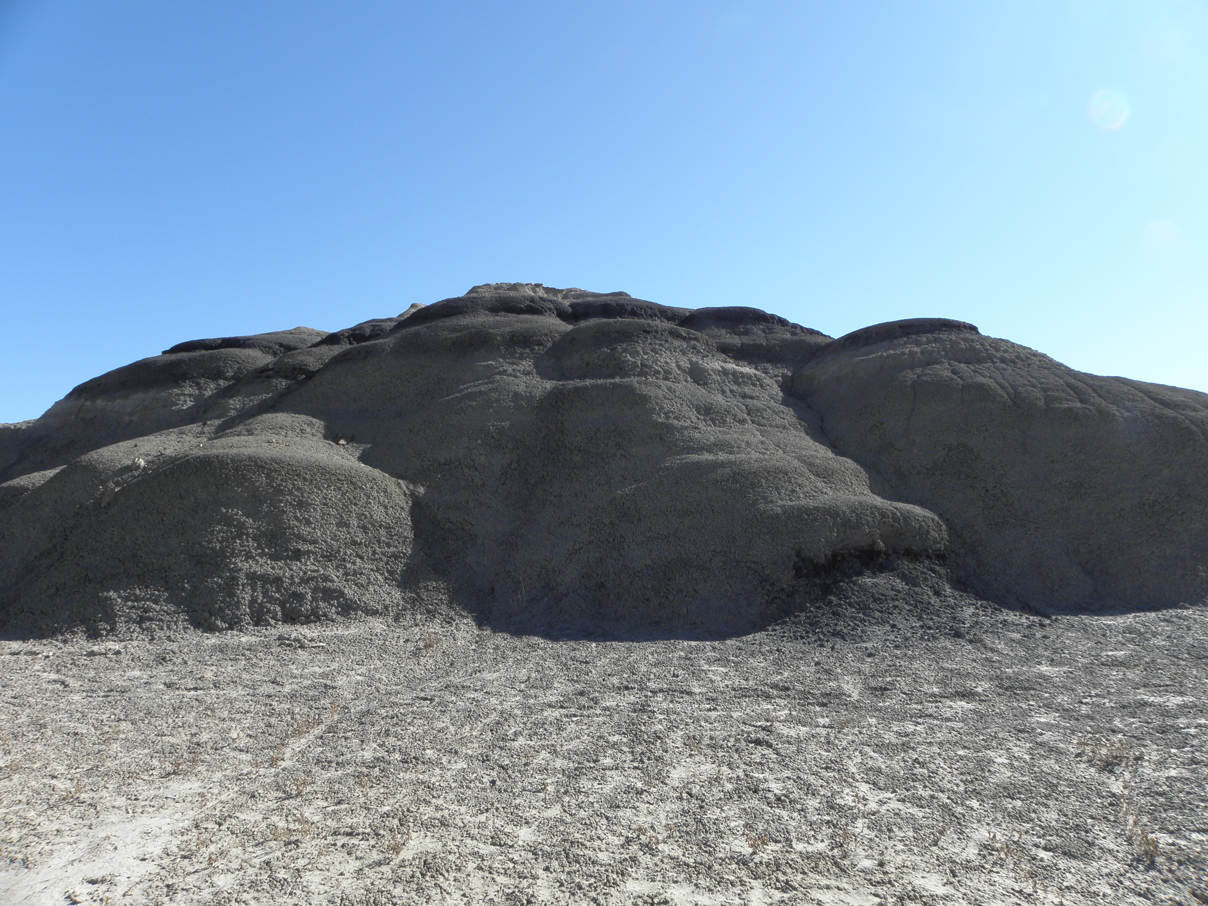 |
| This stuff has the texture and consistency of crumble and is probably not meant to be climbed on. Oh... |
 |
| Picture shamelessly robbed from that The Internet, that they have now. |
- Every time I've been up the 550 it's been full of roadworks, weather or both, and
- The section from Ridgway to Delta is soporifically dull, and
- Pretty Weather Lady said they'd already started the skiing season at or near Silverton
So, abandon the 550 at Durango and turn right.
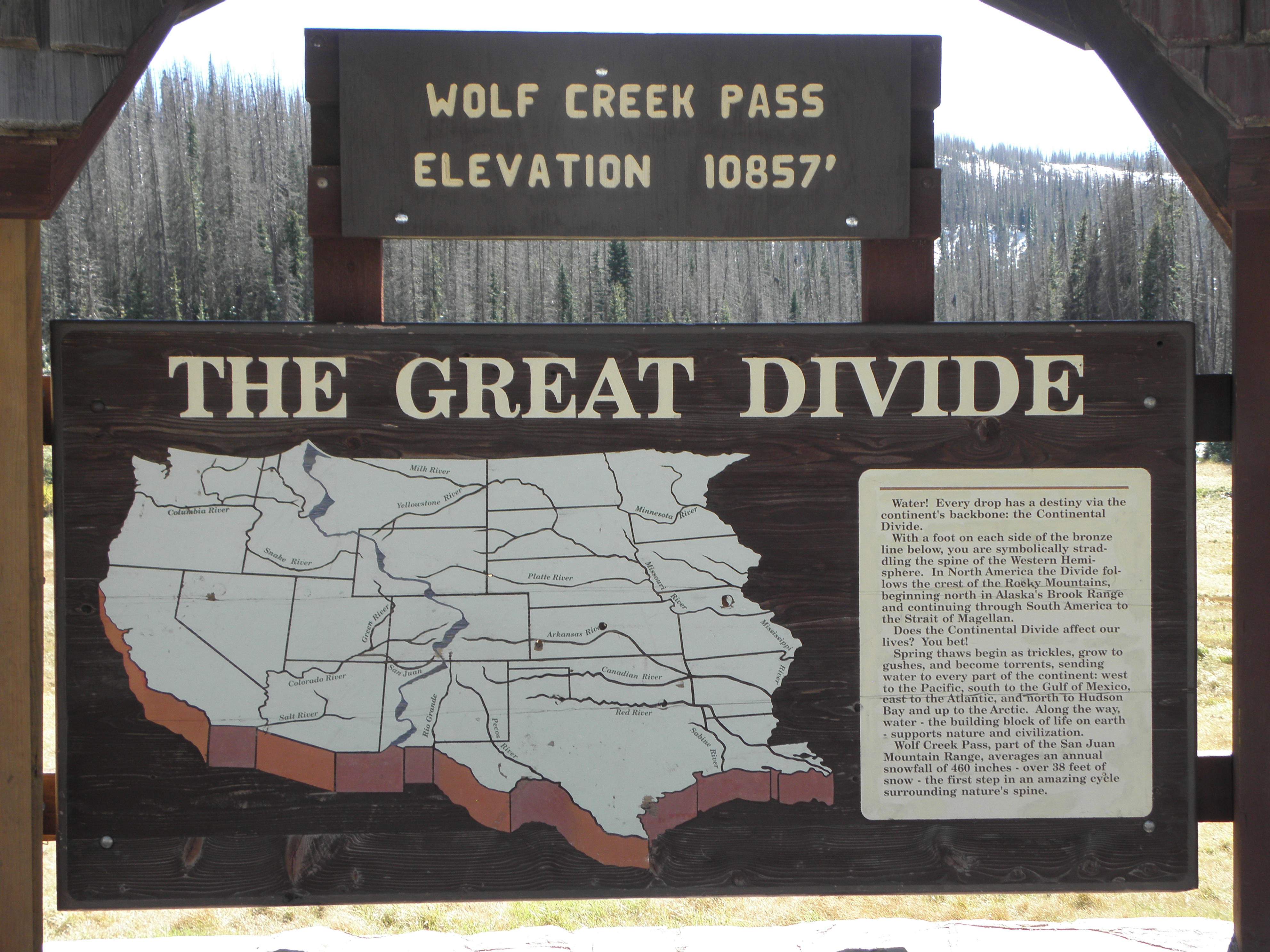 |
| Sign still there! |
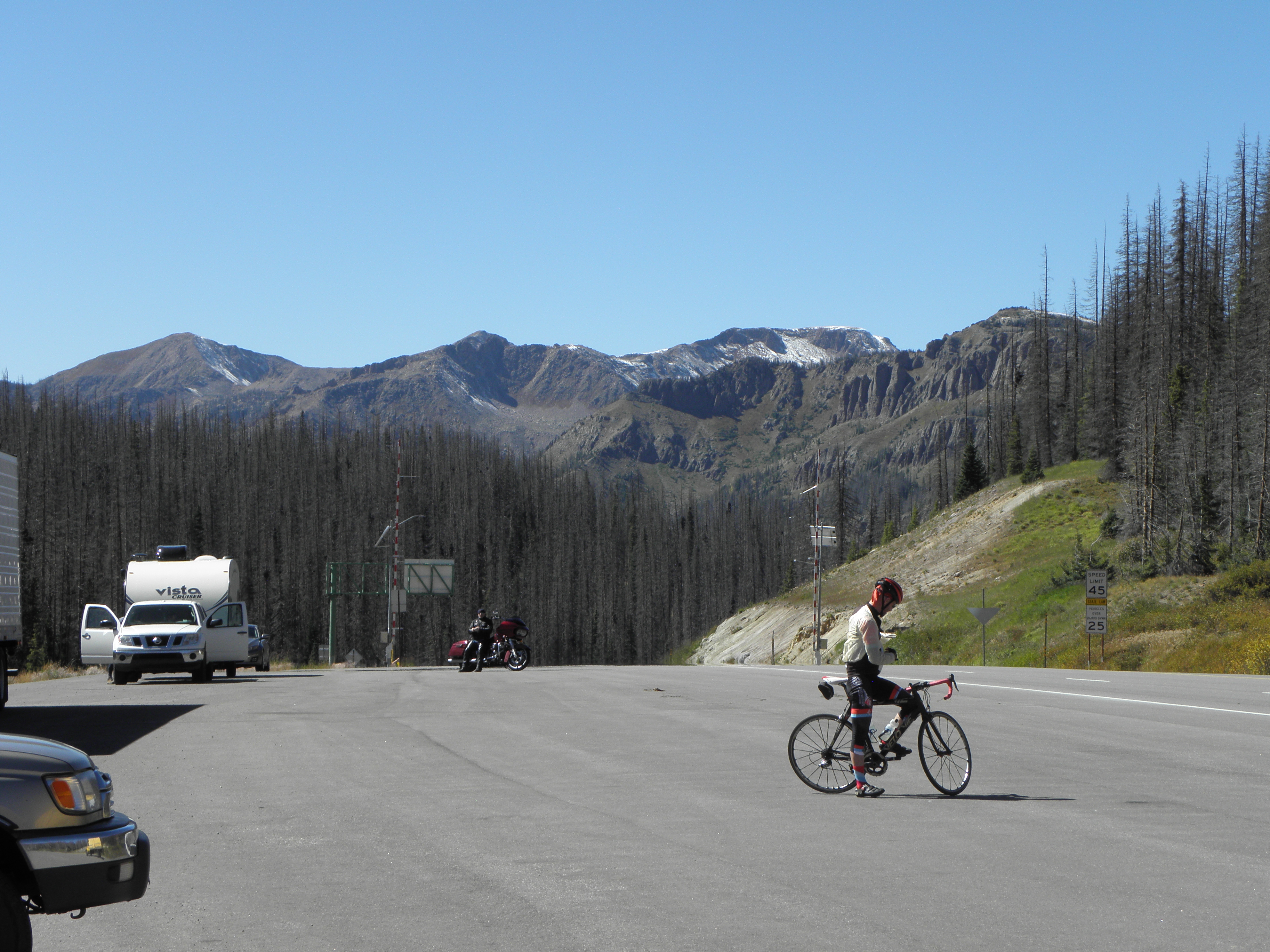 |
| This chap rode up, stopped to put on his jacket and set off back the way he'd come. Nutter. |
Nearly all this bit was familiar from previous trips - I stayed there, I bought "gas" here, oh, I remember this place now it's where the turn-off for $PASS is and, about two blocks from the hotel, I bought a Dirty Pizza from that place which is now a mobile phone shop. I am actually spending two nights here in Eagle, if I am not electrocuted utterly to DETH before then, as the carpets in this place generate such copious quantities of stat that sparks fly from my fingertip every time I summon the lift to go outside for a fag. Or I get buried under some more of this:
 |
| Up close and personal with the SNO near Clinton Creek Reservoir |


No comments:
Post a Comment
O hai, spammers!
All comments are moderated so don't bother.
Kthxbai!