Today could only get better after discovering the lift was out of order. I was on the fourth floor and had parked That Shitbox Dodge having paid due consideration to the location of the lift. Miles away from the stairs next to my room. Bah!
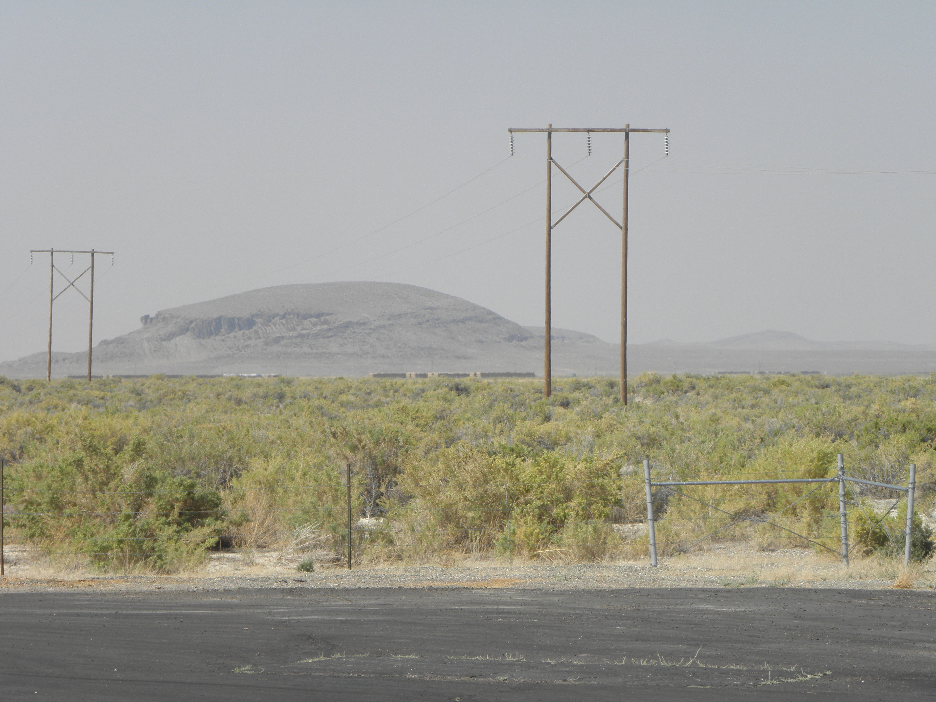
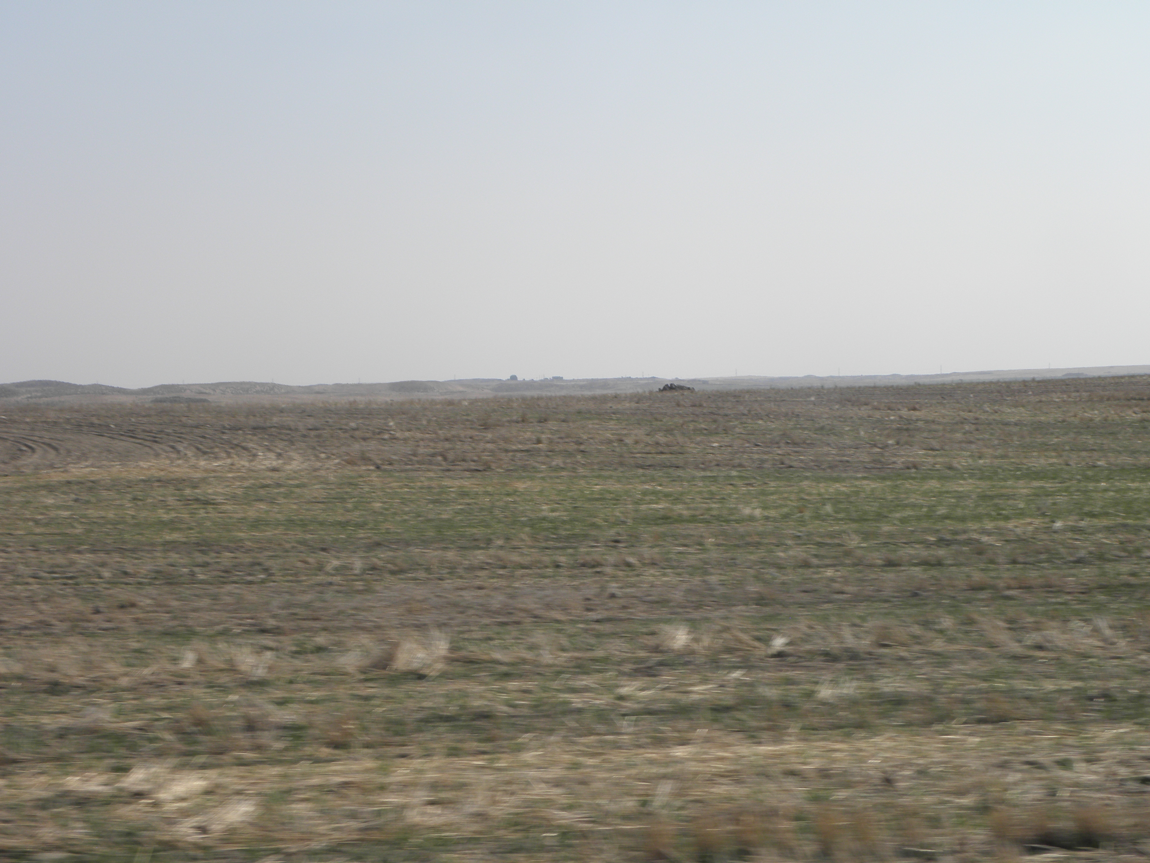
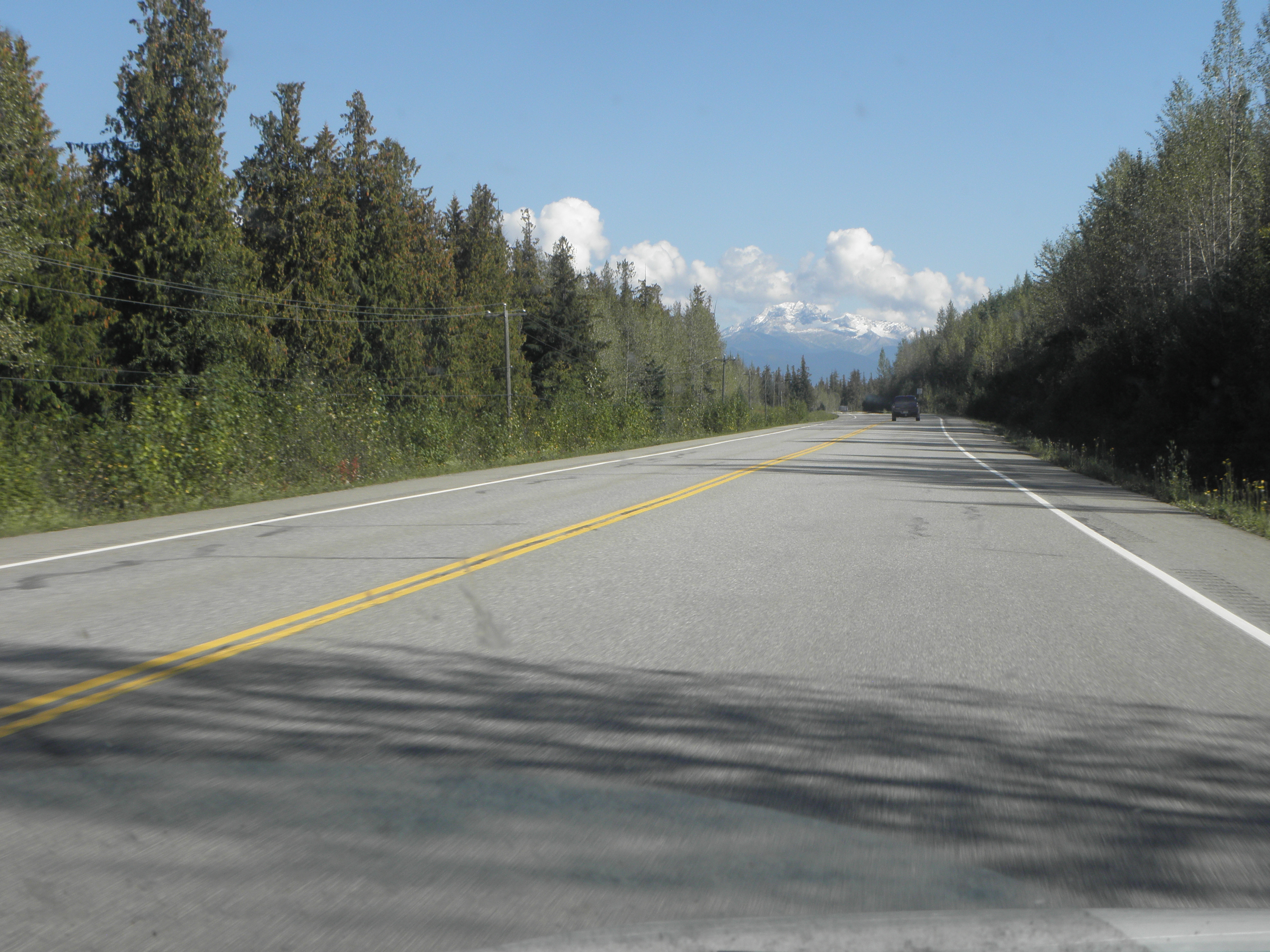
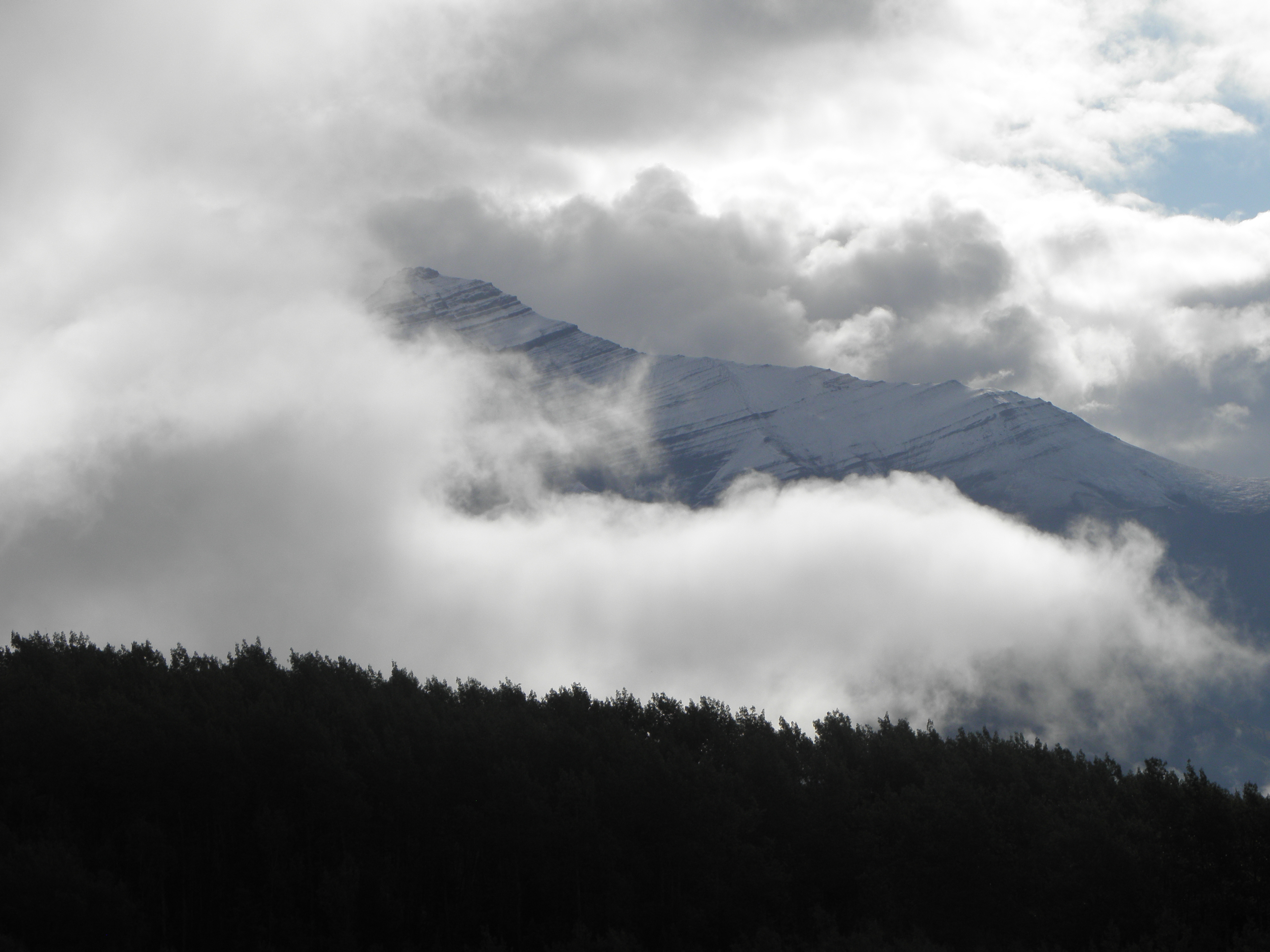
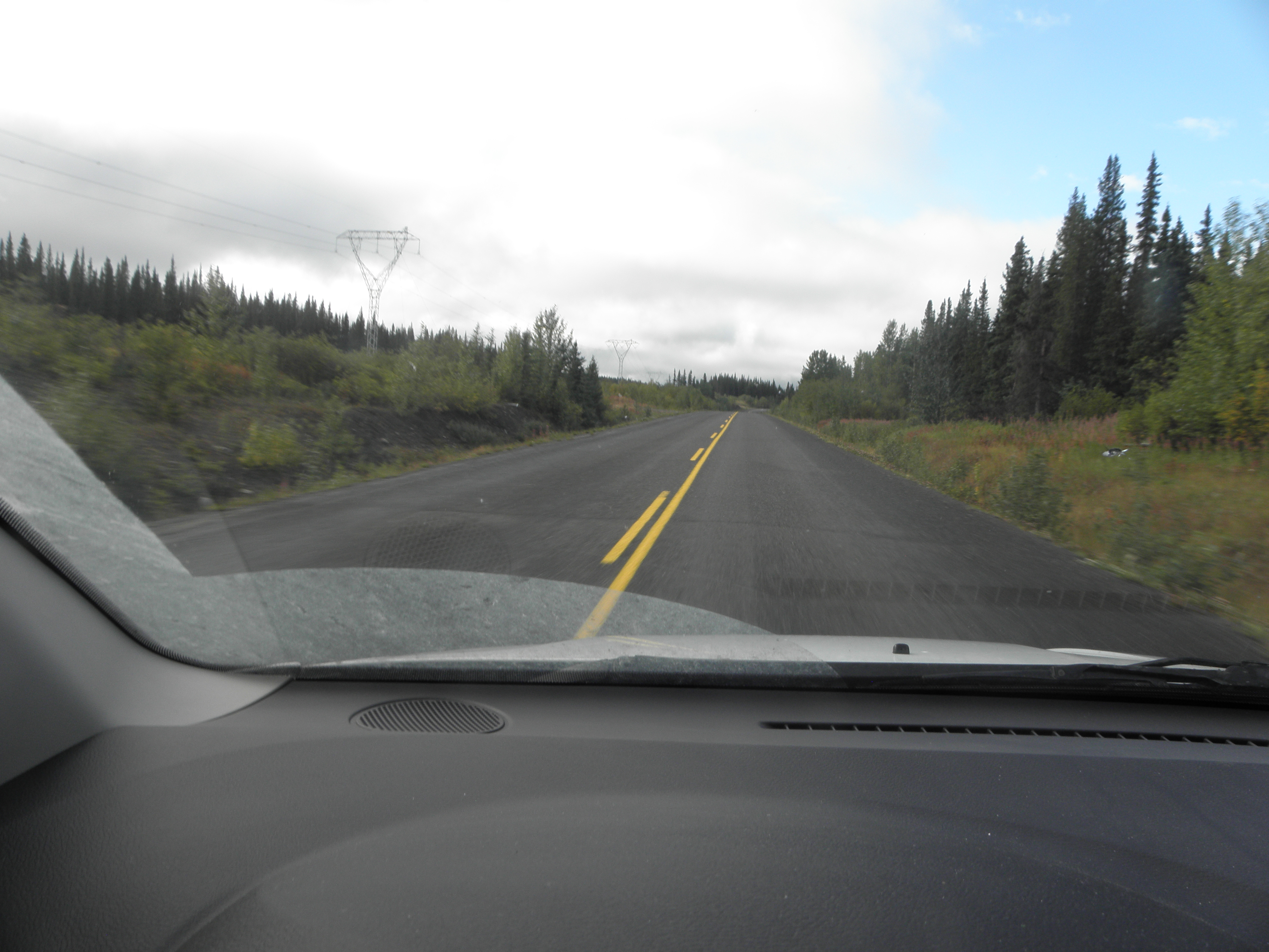
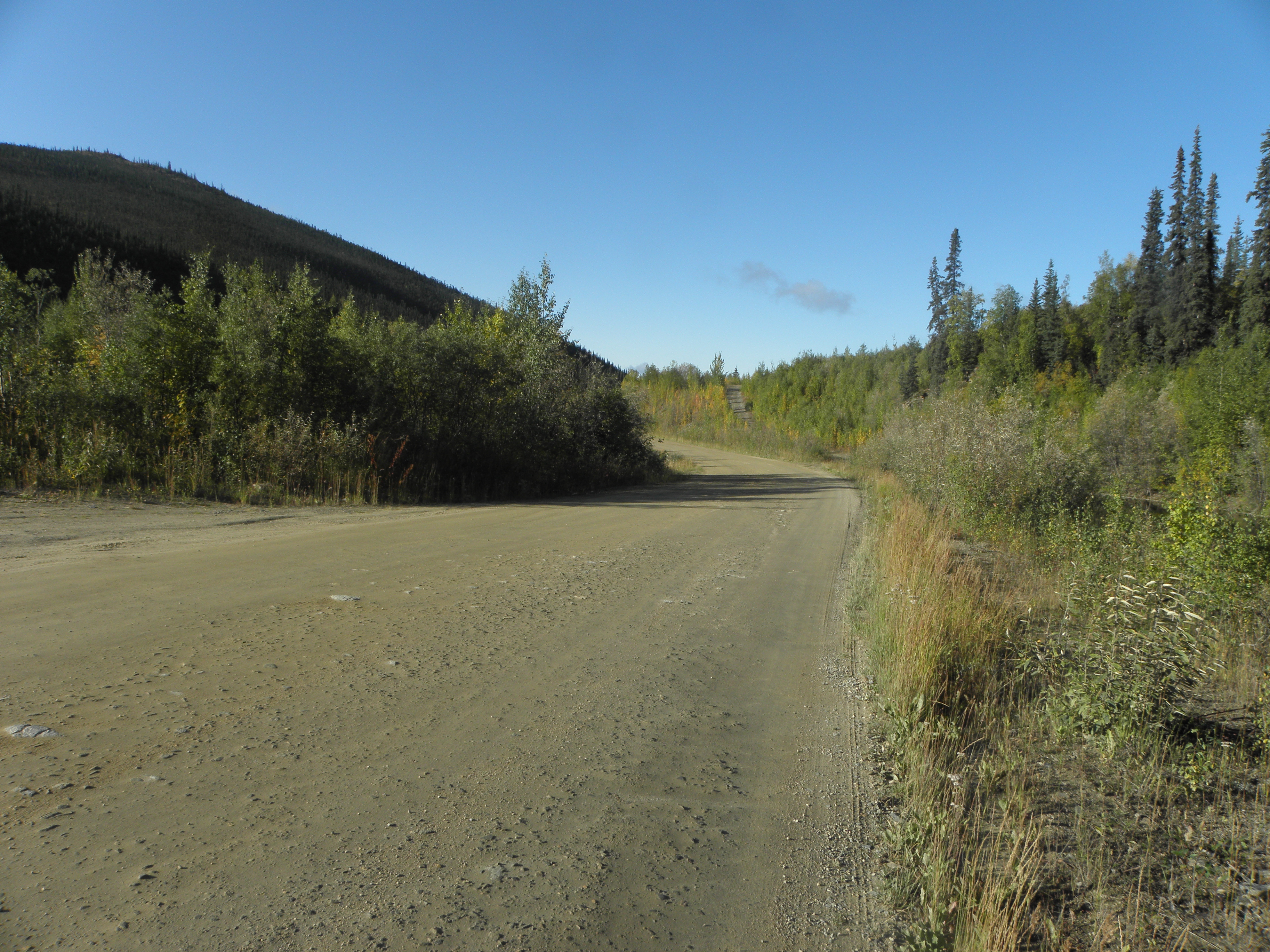
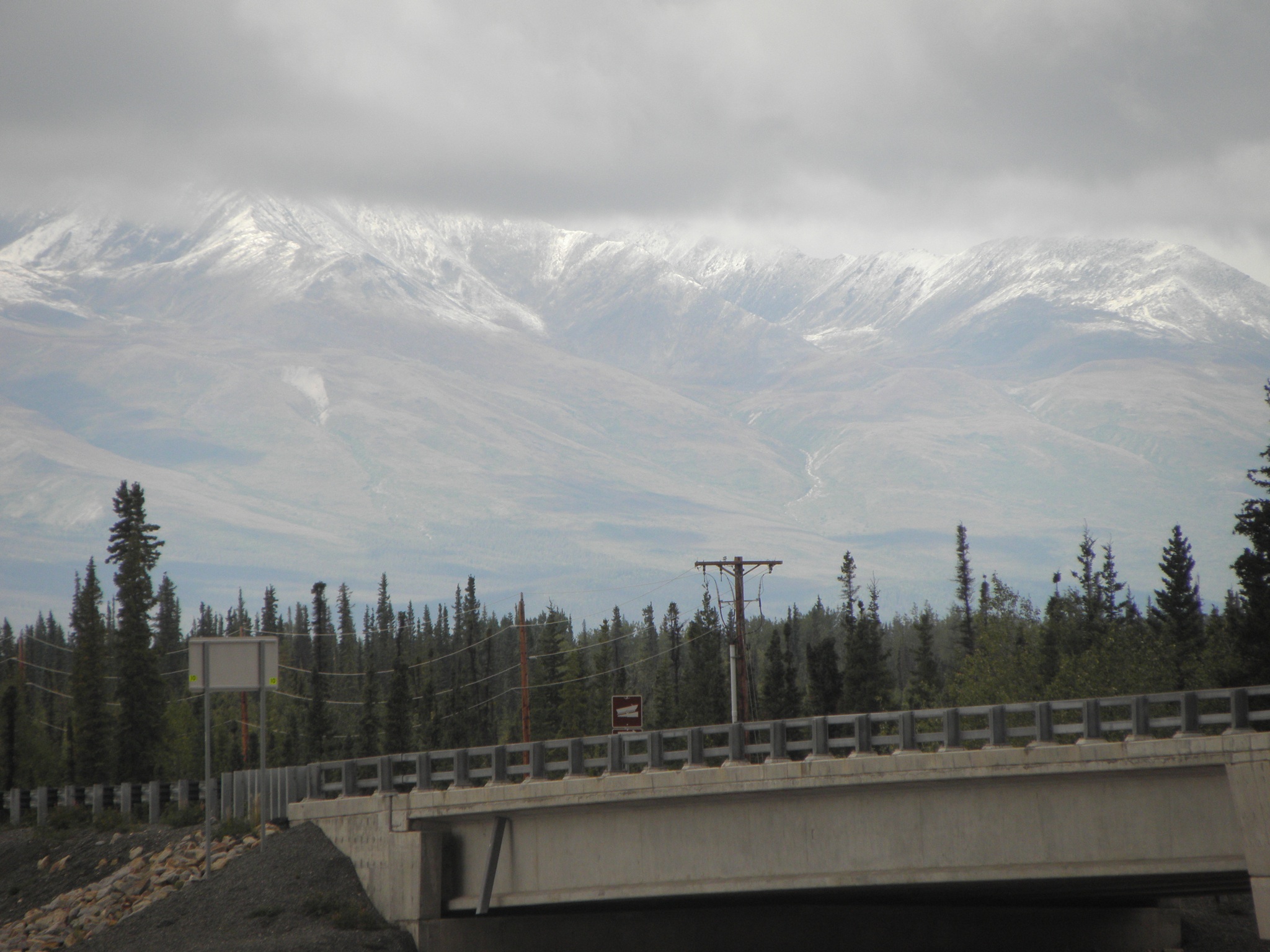
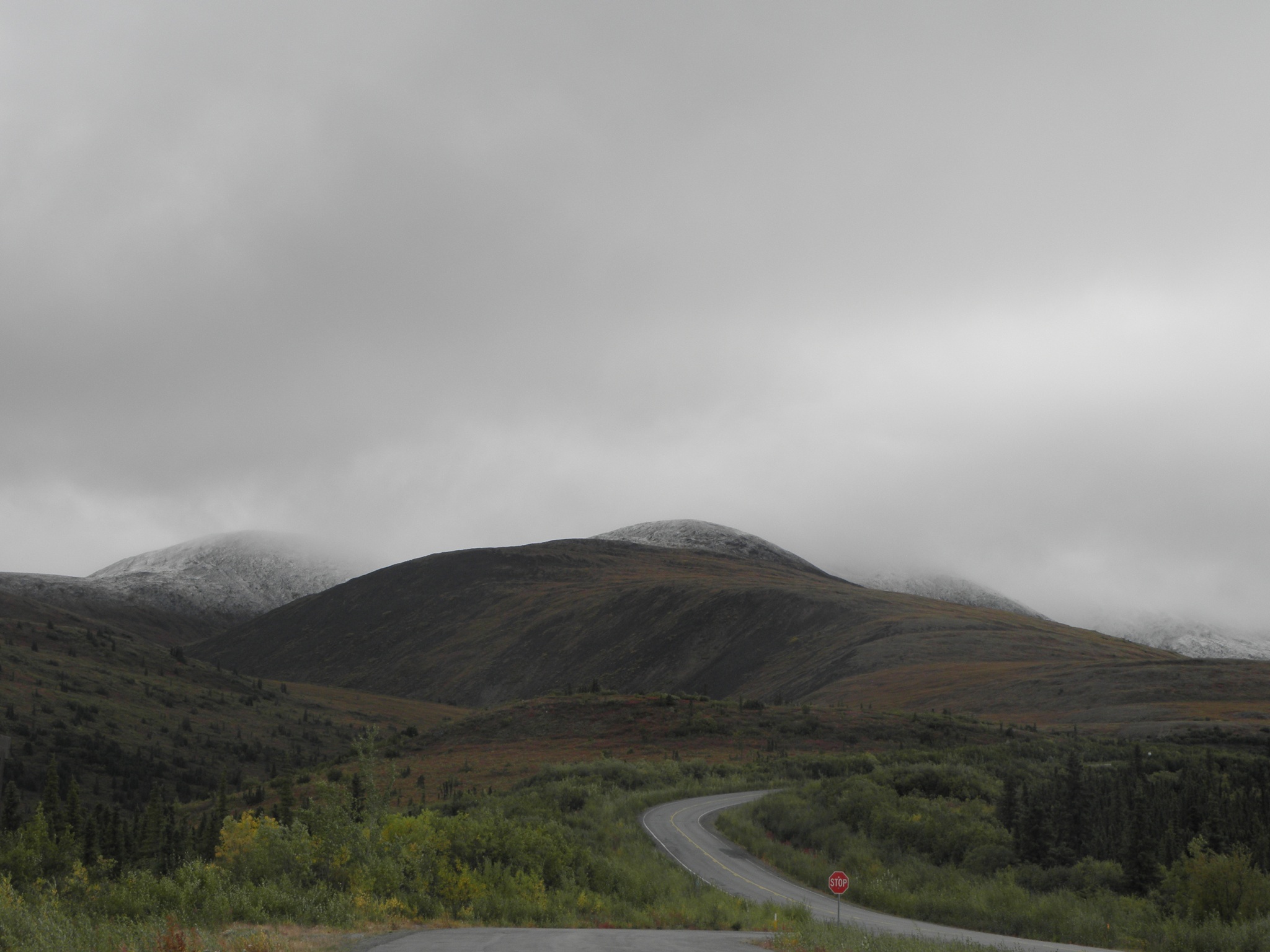
The drive from Klamath Falls to Battle Mountain is so forgettable that I found I had indeed forgotten large chunks of it, and will probably have done so again by tomorrow. There's a chunk of agriculture for a bit then a brief interlude of forest, and then after that it all looks like this:
Pretty smoky on the way over from the fires in northern California but it started to clear about fifty miles northeast of Winnemucca and here it's hust a bit hazy. A few of the usual suspects have already been encountered loitering around the Super 8 - Garrie Hill, John Jackson and an assortment of Lems - plus there are a couple of gert big crates outside, one of which contains VeloX 8 and the other, we think, Taurus. On the other hand, it has been reported elsewhere that the Soup Dragon - the Mike Burrows/Glen Thompson co-production entered under the auspices of South Bank University and to be ridden by Russell Bridge, is stuck in Customs. In Cincinnati, Which is shut for the weekend. Since DHL claim to have delivered it to $HOTEL in Las Vegas prior to being transported up here, someone needs a good shoeing.
Not much else to report yet, except that the trip meter wossname in That Shitbox Dodge resets itself to 0 after 10,000 km :-) And the internets in the Super 8 are not yet clogged with Penniless Student Oaves doing Social Media, so that picture ^^^^ actually uploaded pretty sharpish at full resolution. I doubt this state of affairs will persist for long, mind.
Sunday, 9 September 2018
Saturday, 8 September 2018
Day 18: Troutdale OR - Klamath Falls OR
So, yes, our mission today is to do the West Cascades Scenic Byway that we didn't do last year because of burny fiery DETH everywhere. But first, no visit to this area would be complete without a visit here:
Dunno how I missed it last year, but it does mean that in the past couple of months I've been to both Boring and Twatt.
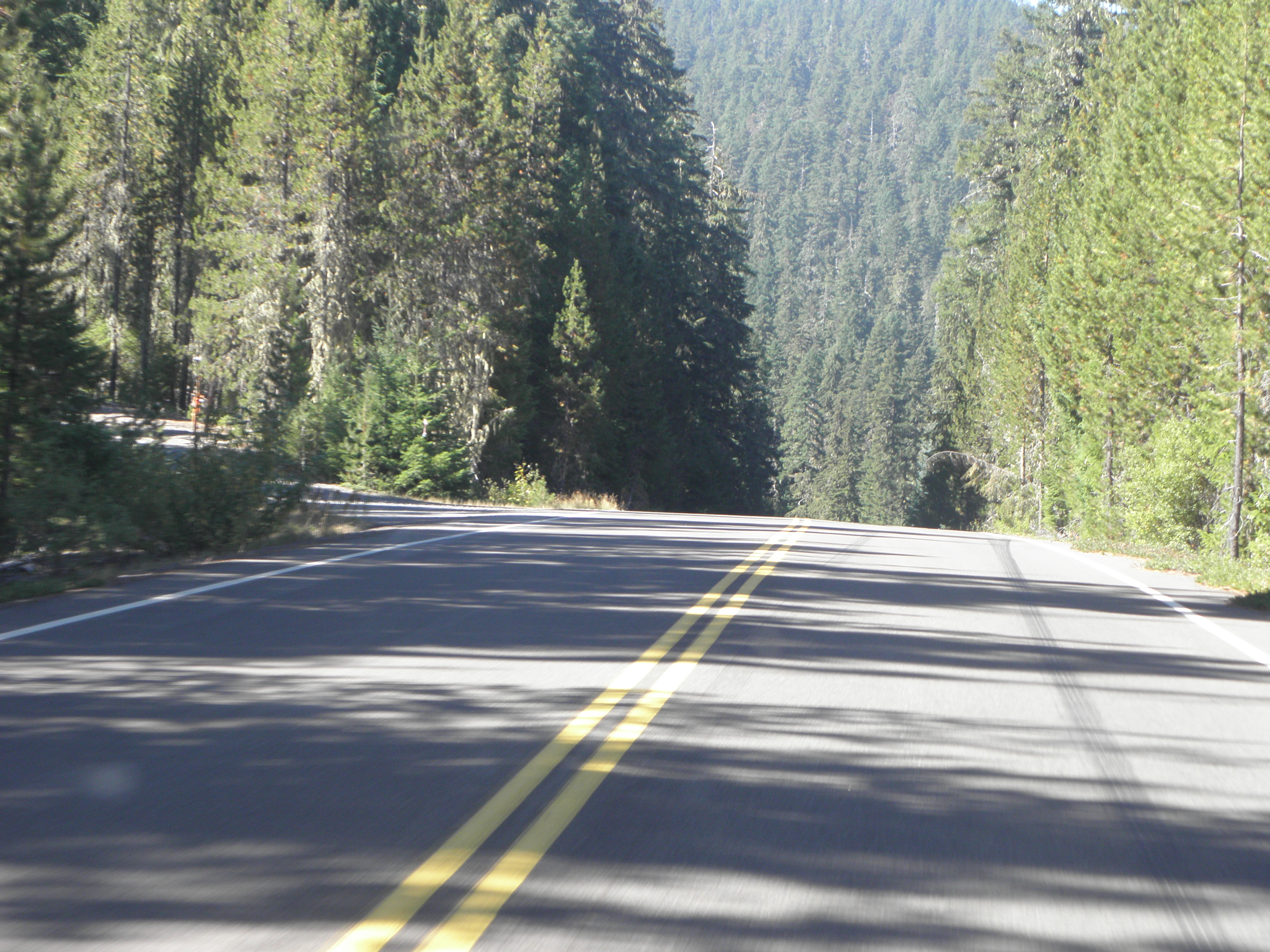
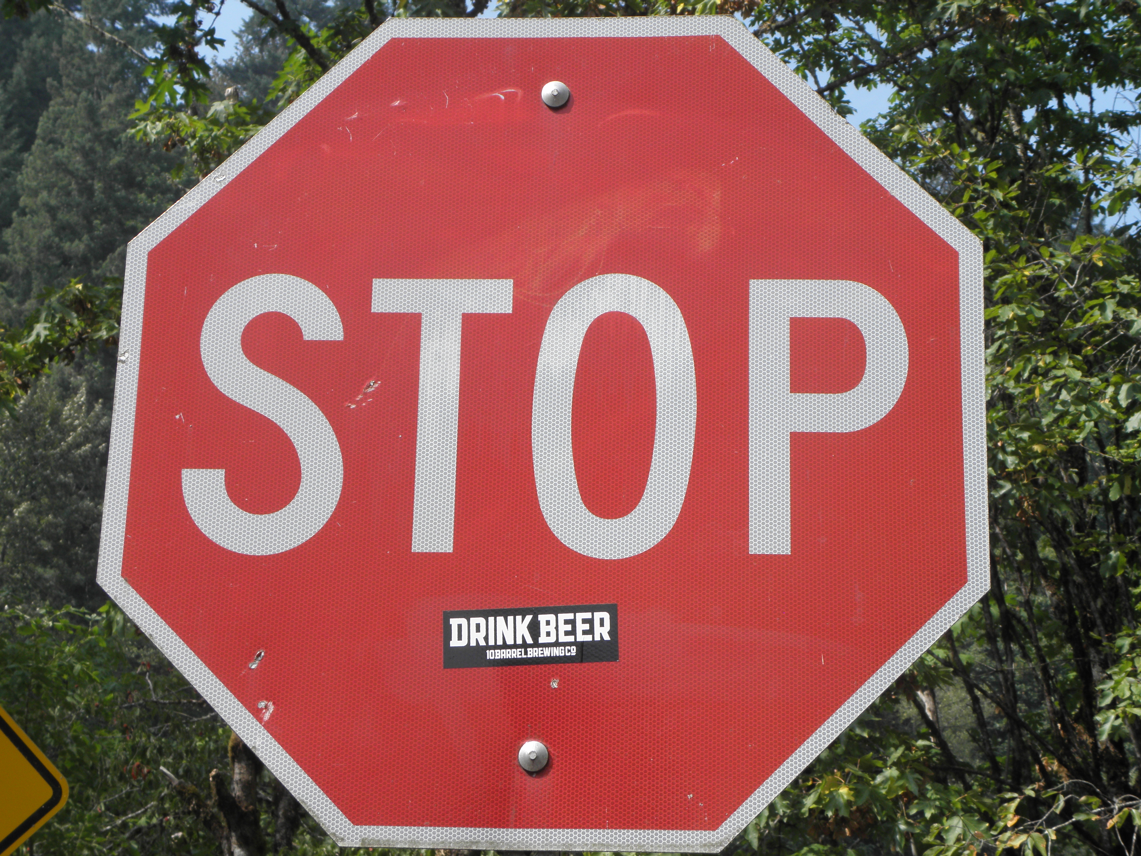
The first bit of the aforementioned scenic byway, if you're starting at the northern end in the Clackamas River Highway (sic - it makes the average BRITISH B-road look like the Ventura Freeway). I got really quite a long way down this last year before finding a Ford Crown Victoria parked across the road with a man inside inviting me to fuck off back the way I had come, adding about a hundred miles to the route. But he wasn't there this time, and nor was the smoke which made the whole thing even more grim.
The Breitenbach River had a family of ducks in it. Mummy Duck, Daddy Duck and n Ducklets. Until some unidentified feathery pirate dropped out of the sky, after which there were n-1. This bit ends at Detroit. No, not that one. No car factories or Motown studio here. Just OR-22, on which I had the misfortune to be stuck behind a Chevy van driven by someone with a haphazard idea of lane discipline - worrying as there's only one in each direction - and a haircut which, in silhouette, bore an altogether remarkable resemblance to that formerly sported by footballer Jason Lee:
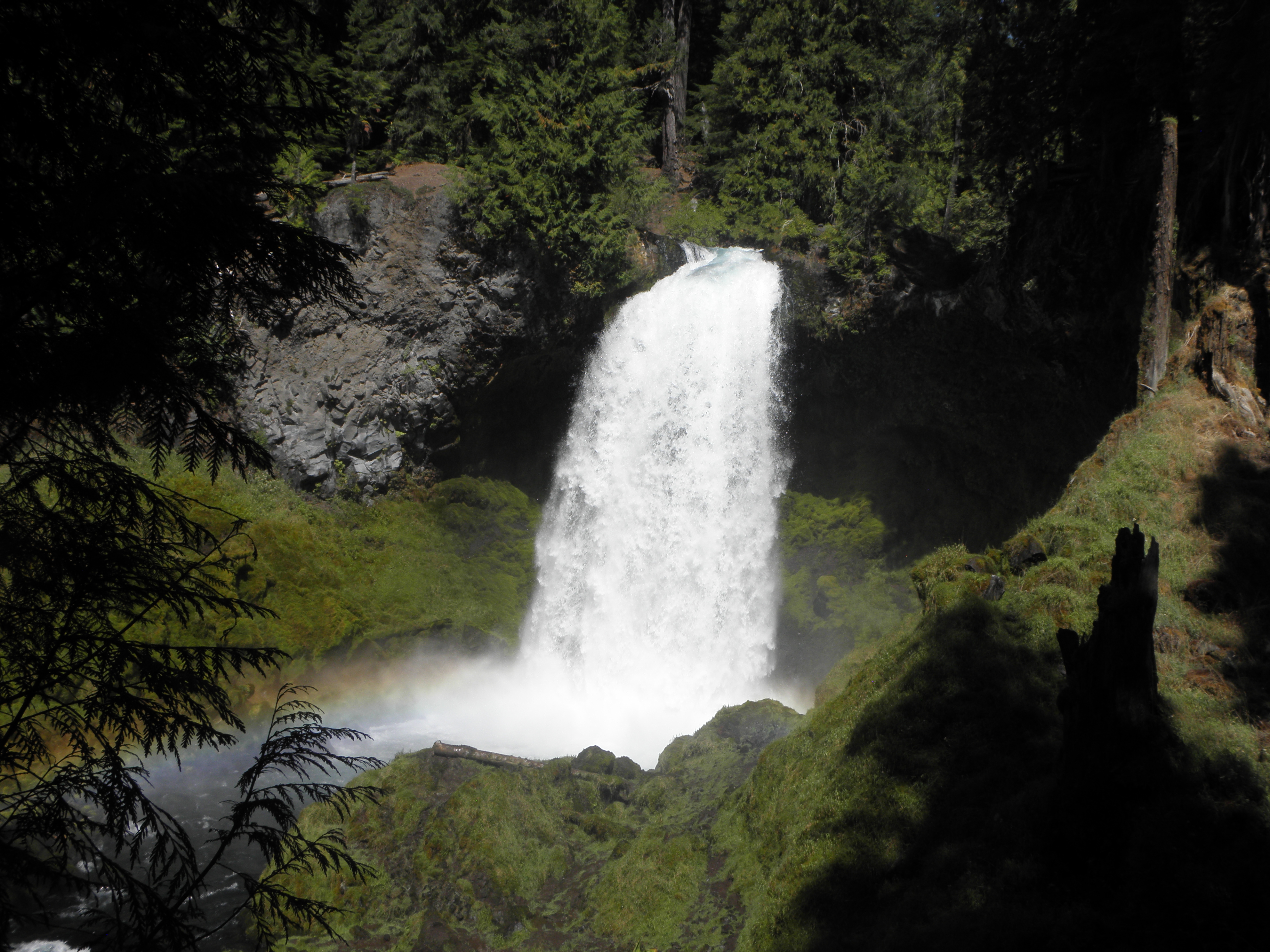
I managed to overtake Jason before heading onto US-20 and then OR-126. Last year the weather was starting to look distinctly not-convertible-friendly; this year it was still gloriously warm and sunny on reaching the Sahalie Falls on the McKenzie River. Parts of them look like this:
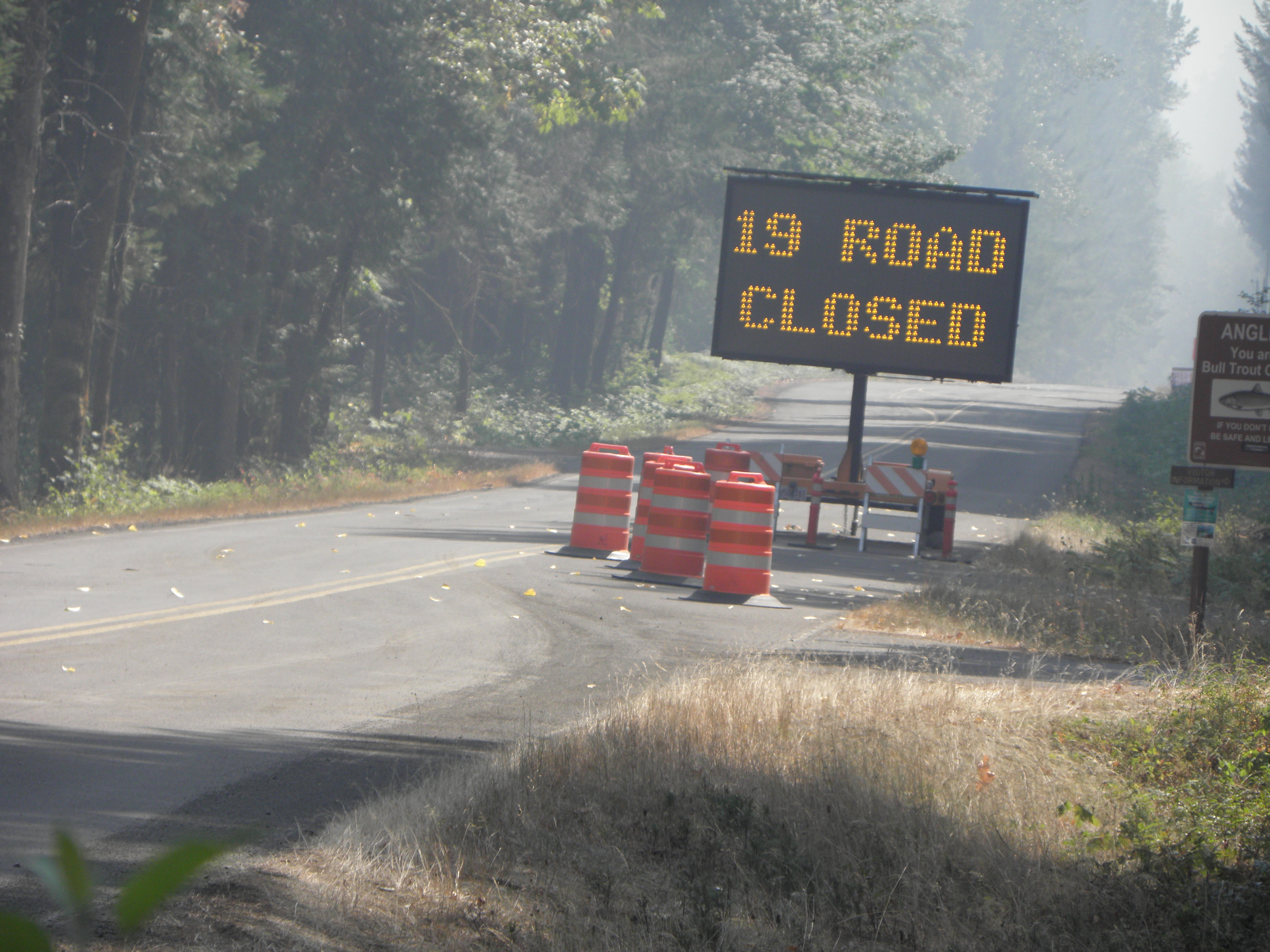
Approaching McKenzie Bridge, however, the sky was turning a bit, well, smoky. Surely the NF-19, aka the Aufderheide Forest Drive could not be closed again?
Oh. Aufderheide? Arsederscheisse, more like! Back onto 126 towards Springfield and fifty extra miles. Though I did get to see this, which was nice.
And so onto US-58, which is nice to look at but lumpy and twisty and not provided with sufficient passing lanes, so when you are second in the queue behind some roaster towing one of those collapsable caravan contraptions which is a foot wider than his mirrors, thereby preventing him from seeing the mile-long queue of Angry People being Angry as his speed varied, seemingly randomly, between 35 and 60 mph, you get angry too. "If only there had not been burny fiery DETH, I would have missed all this nonse" I thought, before realising that the south end of the Aufderheide debouches onto US-58 anyway. D'oh.
Still, Emily tells me that all I have to do is keep driving along US-58 until I'm 400 yards from my destination. "Hurrah!" I thought. "At least I won't have to do that detestable bit of US-97 which I have grown to hate bigly over the years!" Shortly thereafter, the 58 merges with the 97 in a manner subtle enough not to attract Emily's attention. Piss. It's enough to make you do this:
Anyway I'm here now and it's only 600 km to Battle Mountain. Unless Mike Sova can't get anyone else to give him a lift from Reno, in which case it's 800.
Dunno how I missed it last year, but it does mean that in the past couple of months I've been to both Boring and Twatt.
The first bit of the aforementioned scenic byway, if you're starting at the northern end in the Clackamas River Highway (sic - it makes the average BRITISH B-road look like the Ventura Freeway). I got really quite a long way down this last year before finding a Ford Crown Victoria parked across the road with a man inside inviting me to fuck off back the way I had come, adding about a hundred miles to the route. But he wasn't there this time, and nor was the smoke which made the whole thing even more grim.
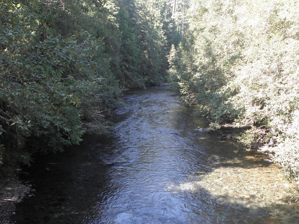 |
| The Breitenbach River. Use your Junior Pocket Microscope (Model 3a) to count the ducks. |
I managed to overtake Jason before heading onto US-20 and then OR-126. Last year the weather was starting to look distinctly not-convertible-friendly; this year it was still gloriously warm and sunny on reaching the Sahalie Falls on the McKenzie River. Parts of them look like this:
Approaching McKenzie Bridge, however, the sky was turning a bit, well, smoky. Surely the NF-19, aka the Aufderheide Forest Drive could not be closed again?
Oh. Aufderheide? Arsederscheisse, more like! Back onto 126 towards Springfield and fifty extra miles. Though I did get to see this, which was nice.
And so onto US-58, which is nice to look at but lumpy and twisty and not provided with sufficient passing lanes, so when you are second in the queue behind some roaster towing one of those collapsable caravan contraptions which is a foot wider than his mirrors, thereby preventing him from seeing the mile-long queue of Angry People being Angry as his speed varied, seemingly randomly, between 35 and 60 mph, you get angry too. "If only there had not been burny fiery DETH, I would have missed all this nonse" I thought, before realising that the south end of the Aufderheide debouches onto US-58 anyway. D'oh.
Still, Emily tells me that all I have to do is keep driving along US-58 until I'm 400 yards from my destination. "Hurrah!" I thought. "At least I won't have to do that detestable bit of US-97 which I have grown to hate bigly over the years!" Shortly thereafter, the 58 merges with the 97 in a manner subtle enough not to attract Emily's attention. Piss. It's enough to make you do this:
Anyway I'm here now and it's only 600 km to Battle Mountain. Unless Mike Sova can't get anyone else to give him a lift from Reno, in which case it's 800.
Friday, 7 September 2018
Day 17: Penticton BC - Troutdale OR
I bounced out of bed with vim, vigour and something else beginning with "v" and into the shower. Arse! It is one of those where the difference between "cooking lobster" and "Scott of the Antarctic" is about 1/8". But on the plus side, the bedside light is clever, in that you only have to touch its base to switch in on or off, so no more frantic groping for the switch in the middle of the night when you can't remember the route to the bathroom.
Today's mission was two-fold:
Emily picks what looks like a slightly convoluted route, but she assures me it's the quickest. It involves climbing over lots of hills which the Columbia River prefers to skirt; hills which often make southern New Mexico look like a National Park.
Across the Mighty Columbia for the first time just downstream of Chief Joseph Dam. There are pelicans:
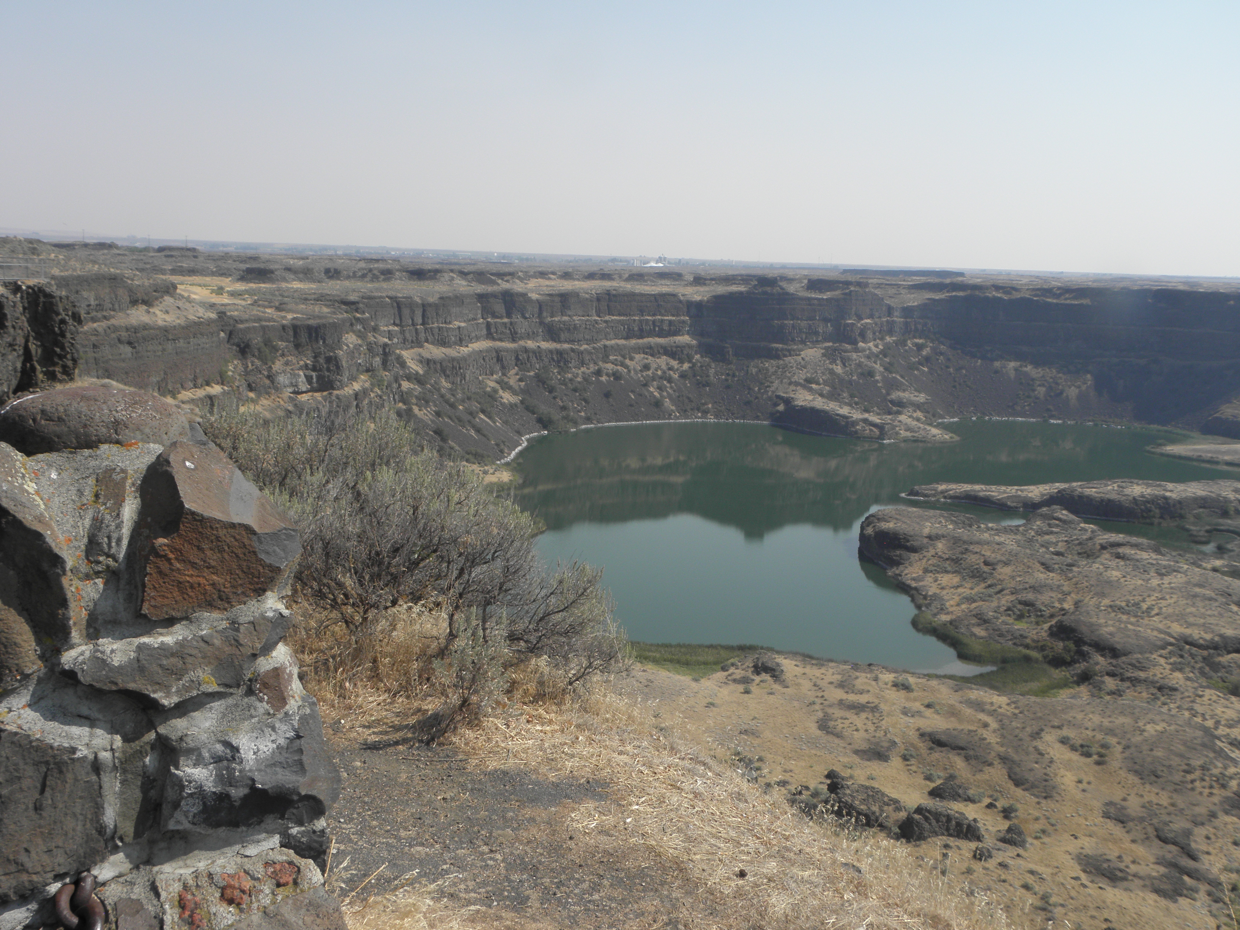
On the other side of the hill lies the Grand Coulee, which is not dammed by the Grand Coulee dam, no, and instead is a rather nice canyon with lakes in it, and at one end Dry Falls, which is a relic of some catastrophic flooding at the end of the last Ice Age.
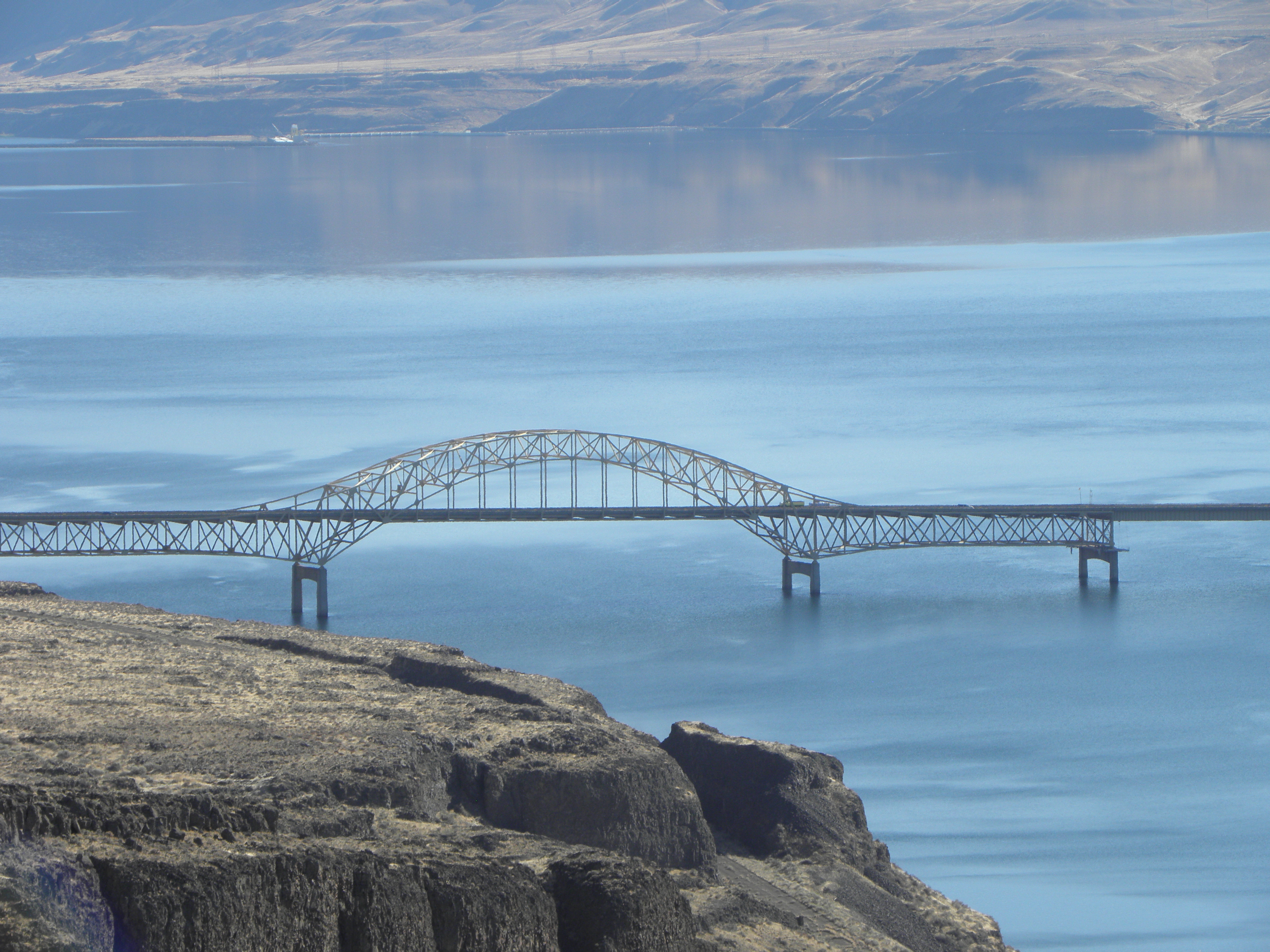
Then you hit I-90. This being the first even remotely freeway-ish road I've been on since leaving Fairbanks, it's a bit disconcerting at first. Especially because the great tool who designed That Shitbox Dodge's dashboard did the MPH markings in dark red digits. Tiny dark red digits. On a black background. I have to rely on Emily to translate the speed limits. I-90 gives way to I-82 over more hills and the Columbia River a second time, on one of these;
That pic is from 2015 but the bridge is still the same. At the same time, I discover that on one of my photographic walkabouts, I have imported about twenty goathead thorns into the driver's footwell. These are discovered, one at a time, when they stick into my bare feet, causing Bad Swears until they can be thrown out of the window.
While yesterday was the first day of the trip on which I was neither smoked nor rained on, today was similar only better. There was a bit of smoke around the Chief Joseph Dam but that was soon left behind. And it was 15C first thing, topping out at 33 this afternoon. Hurrah! Which meant stopping for a fag in the depths of Horse Heaven was uncomfortably warm. Bah! The descent from Horse Heaven brings one to cross the Mighty Columbia for the third time and...
...it was free from smoke and every bit as impressive nestling in its gorge as the Tourist Information Offices make out. It's a bit like the Rhine in the Koblenz/Bingen area but with more pickups and fewer barges1.
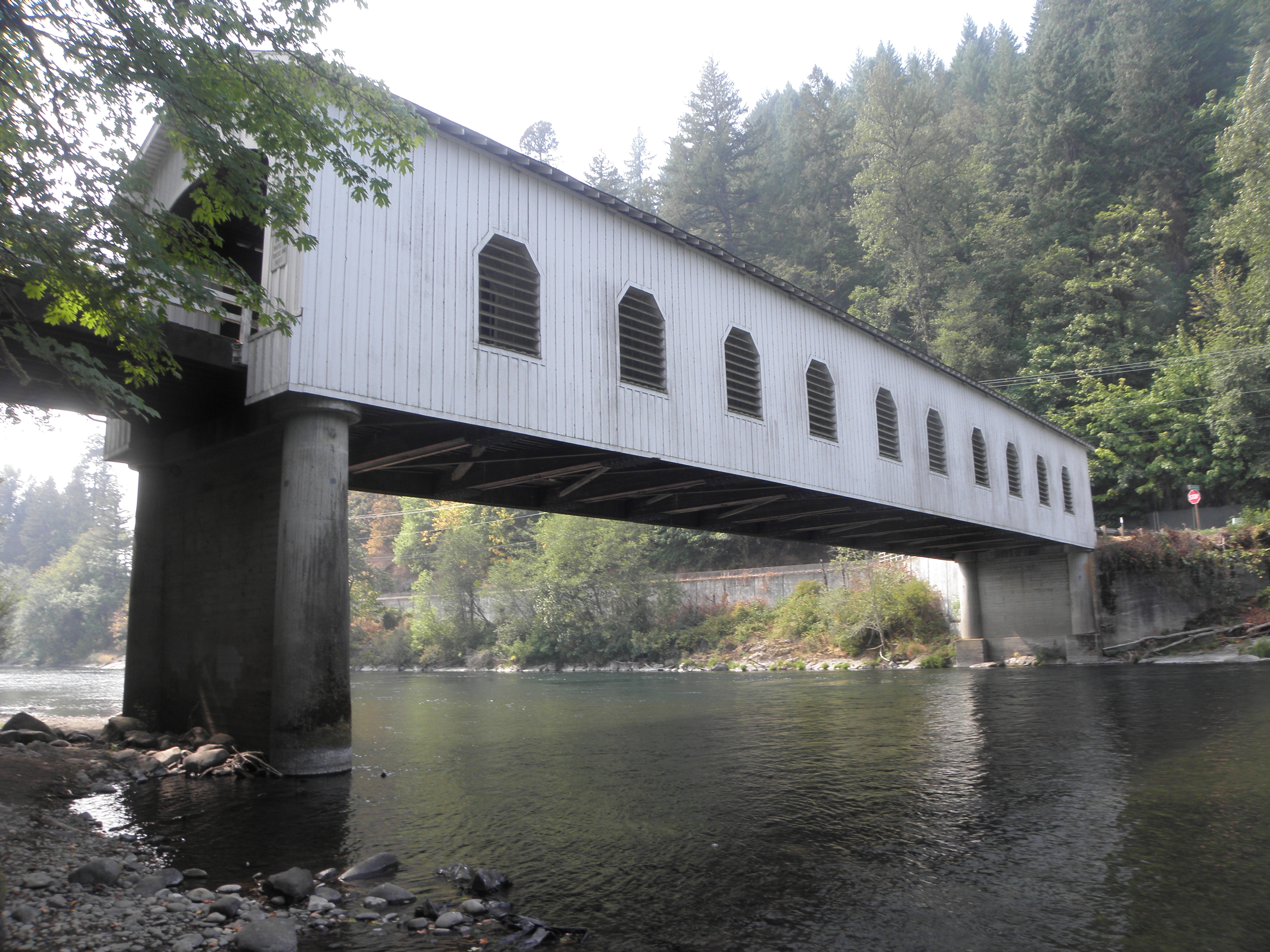
Because I went down the Oregon side this time, which means I-84, stopping places are limited, but some notion may be gained from the pictures of lovely bridgey goodness snapped on the way.
And so to Troutdale. I stayed here a year and a day ago, when you wouldn't have seen the river if you fell in it, so that's goal #2 taken care of too. Goal #3 requires intricate route planning through the forests of the Cascades, so I'll have to get cracking on that, like NOW.
1: Barge count: 0, though I'm told they do exist
Today's mission was two-fold:
- Enter USAnia and stay there, as opposed to a brief sojourn followed by a one-way ticket to Guantanamo Bay.
- See the Columbia River gorge, as opposed to a thick cloud of smoke where it is alleged to be.
Emily picks what looks like a slightly convoluted route, but she assures me it's the quickest. It involves climbing over lots of hills which the Columbia River prefers to skirt; hills which often make southern New Mexico look like a National Park.
Across the Mighty Columbia for the first time just downstream of Chief Joseph Dam. There are pelicans:
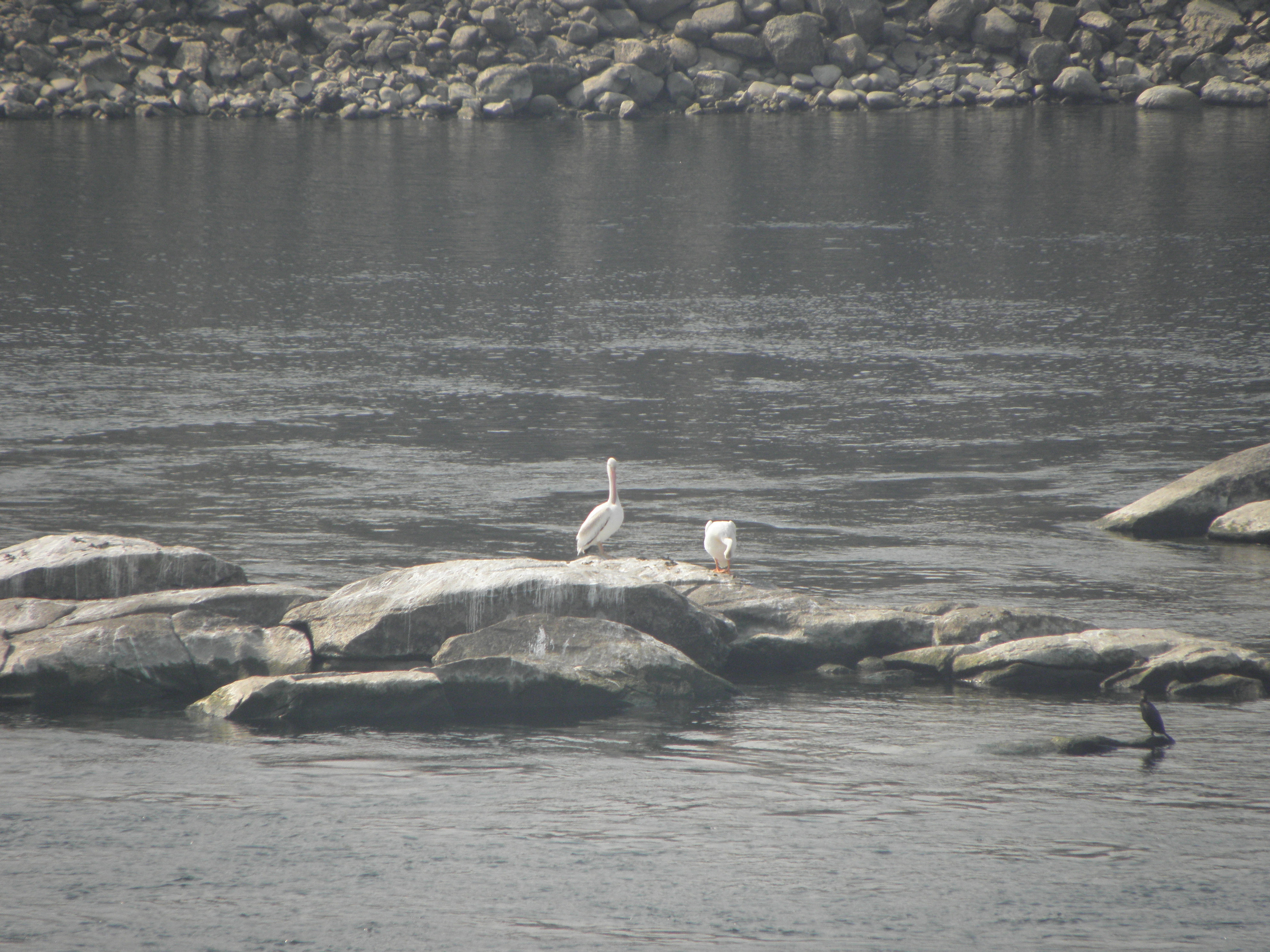 |
| Click to embiggen, or use your trusty Junior Pocket Microscope (Model 3a) |
Then you hit I-90. This being the first even remotely freeway-ish road I've been on since leaving Fairbanks, it's a bit disconcerting at first. Especially because the great tool who designed That Shitbox Dodge's dashboard did the MPH markings in dark red digits. Tiny dark red digits. On a black background. I have to rely on Emily to translate the speed limits. I-90 gives way to I-82 over more hills and the Columbia River a second time, on one of these;
That pic is from 2015 but the bridge is still the same. At the same time, I discover that on one of my photographic walkabouts, I have imported about twenty goathead thorns into the driver's footwell. These are discovered, one at a time, when they stick into my bare feet, causing Bad Swears until they can be thrown out of the window.
While yesterday was the first day of the trip on which I was neither smoked nor rained on, today was similar only better. There was a bit of smoke around the Chief Joseph Dam but that was soon left behind. And it was 15C first thing, topping out at 33 this afternoon. Hurrah! Which meant stopping for a fag in the depths of Horse Heaven was uncomfortably warm. Bah! The descent from Horse Heaven brings one to cross the Mighty Columbia for the third time and...
...it was free from smoke and every bit as impressive nestling in its gorge as the Tourist Information Offices make out. It's a bit like the Rhine in the Koblenz/Bingen area but with more pickups and fewer barges1.
Because I went down the Oregon side this time, which means I-84, stopping places are limited, but some notion may be gained from the pictures of lovely bridgey goodness snapped on the way.
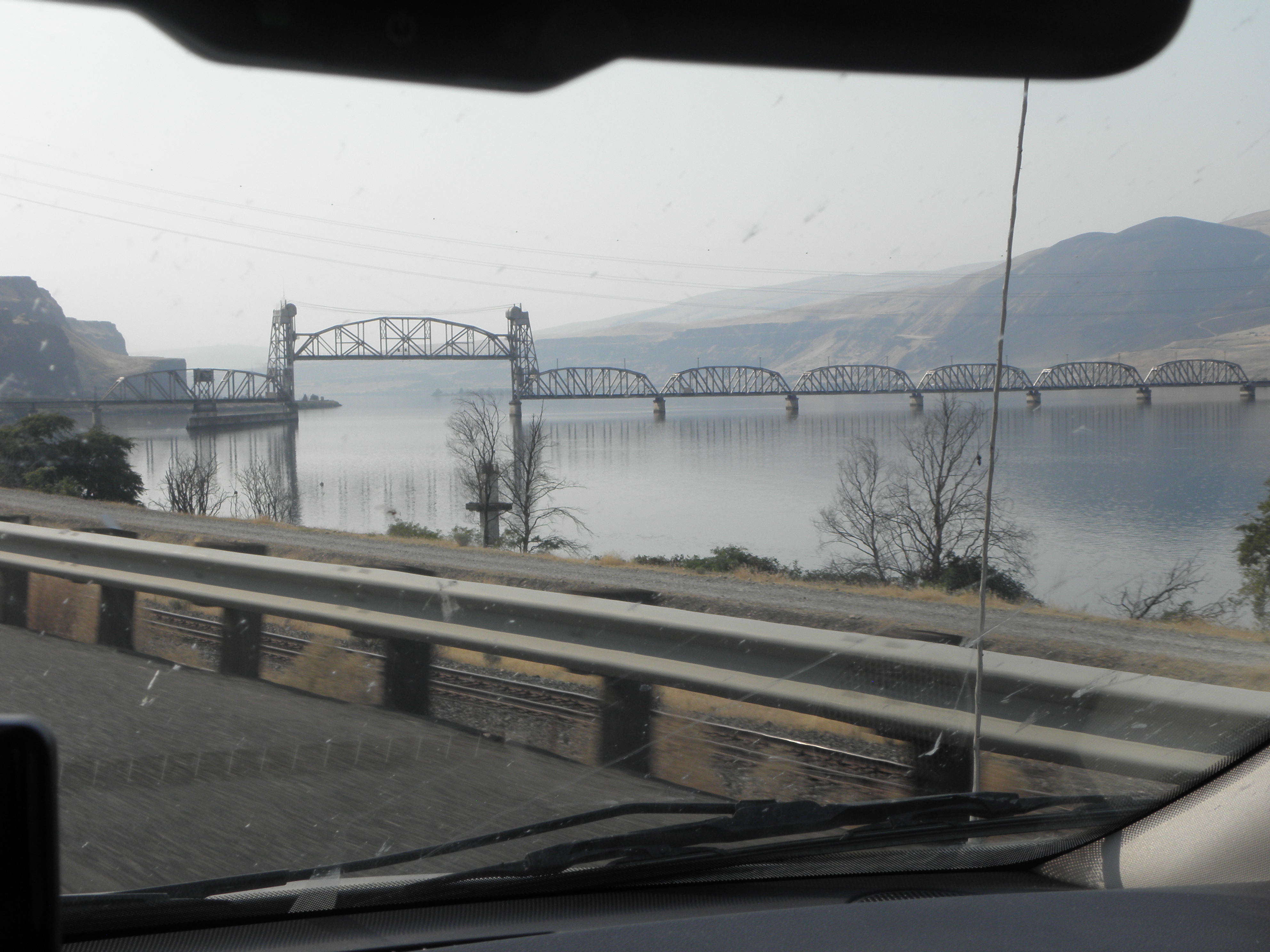 |
| Groovy lifting rail bridge just upstream from The Dalles |
1: Barge count: 0, though I'm told they do exist
Thursday, 6 September 2018
Day 16: McBride BC - Penticton BC
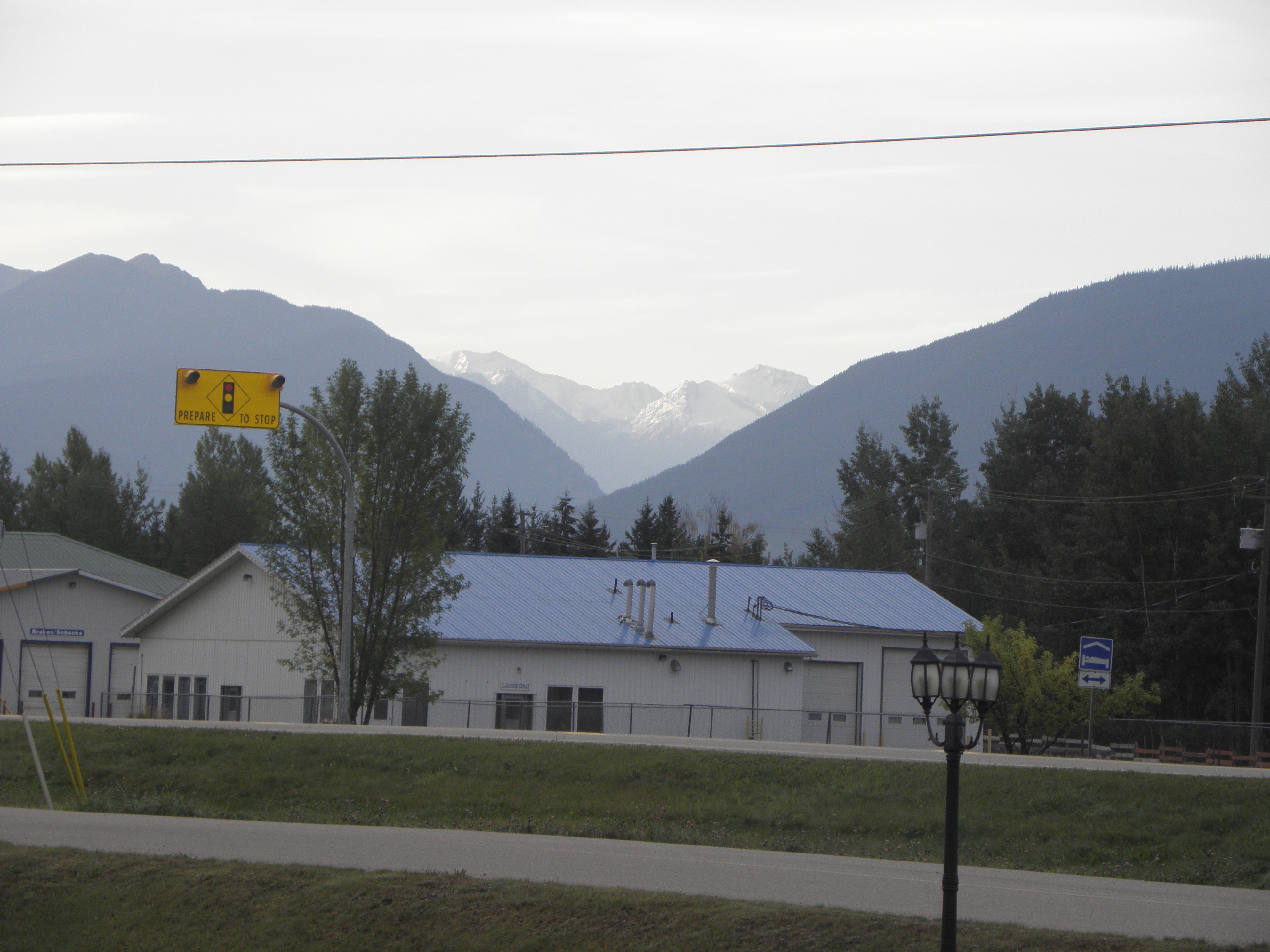
As promised, the view from out the front door. Note mountains with SNO on them.
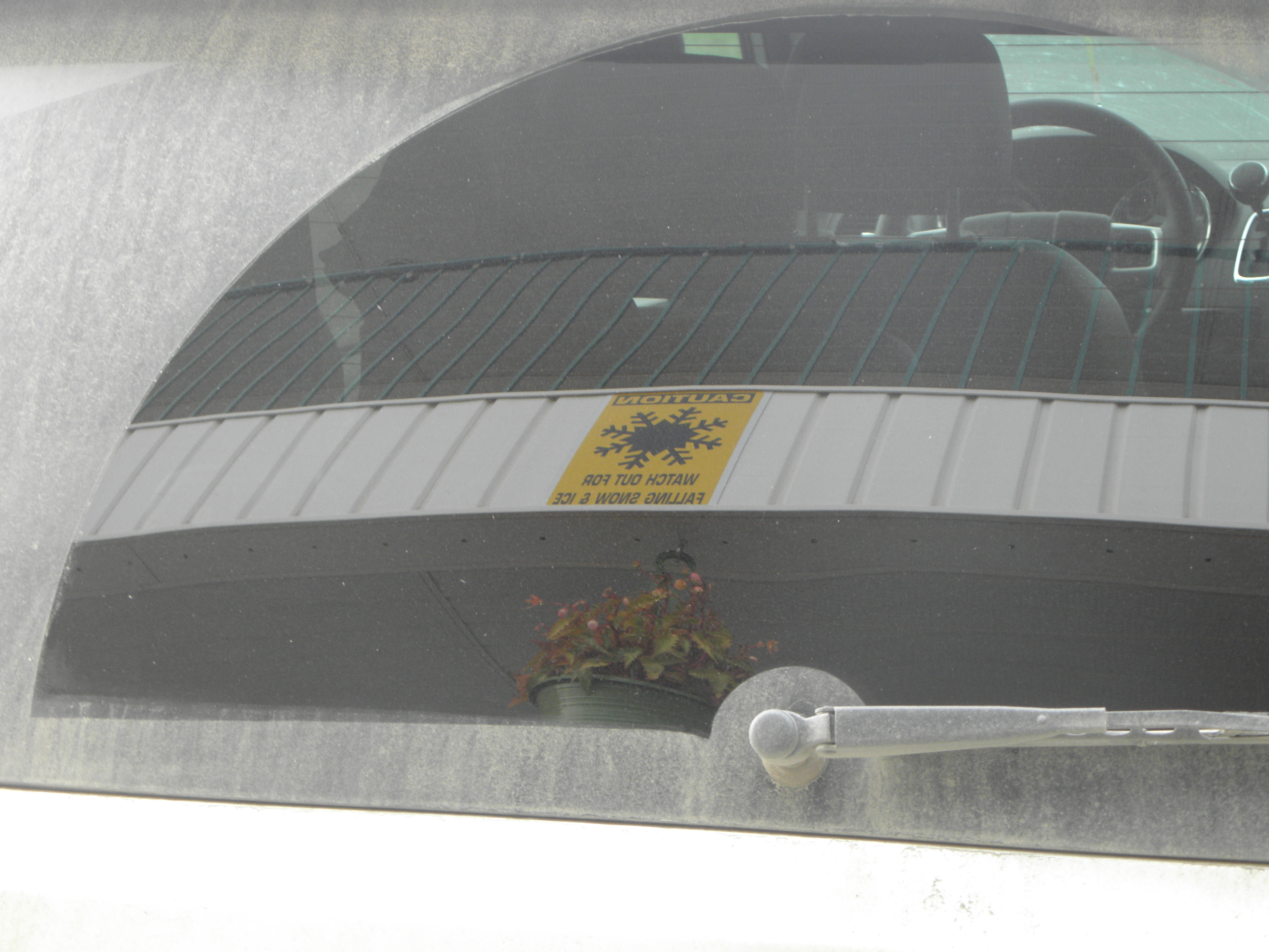
Also outside the door, or rather above it, is this sign, carefully photographed in the rear window of That Shitbox Dodge to make it look more arty.
You will note, if you click the above fully to embiggen it, that while it warns of the hazards of falling H2O, it does *not* counsel the inattentive traveller not to tolchock his or her gulliver against the dangly flowerpot. The bastards.
Hey-ho for BC-16 eastwards again. More of the same, but with a deer either side of the road on leaving town. They are the same colour as the unwiped portion of That Shitbox Dodge's rear window. There was also evidence of a major lorry-versus-Bambi smooshing a bit further up the road. I found myself wondering why the driver of the Ford F-150 in front of me did a swift three-point turn on passing the smoosh-stain and shot back towards McBride. My suspicion was that he was looking for roadkill.
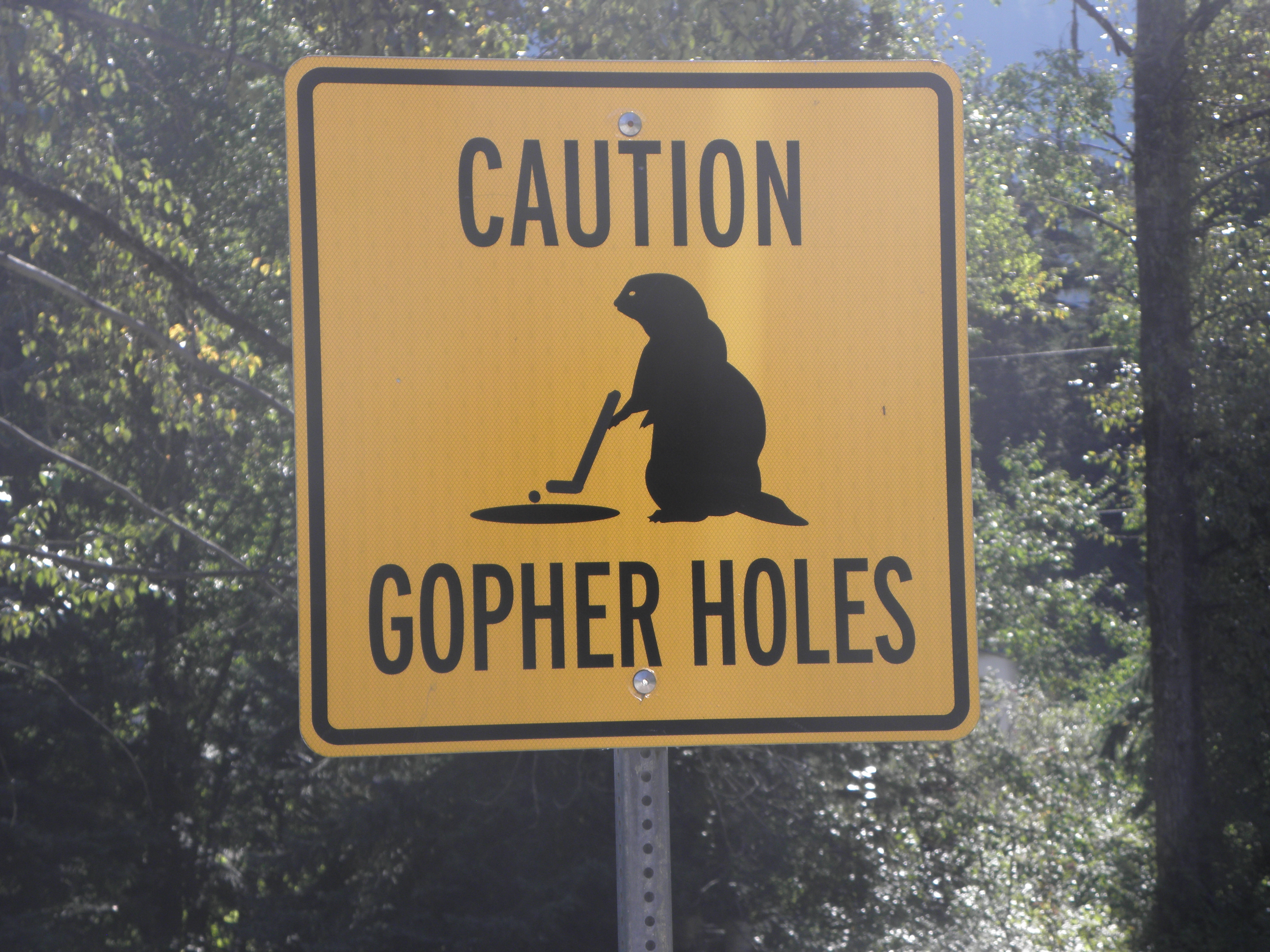
Turned off onto BC-5 just before Tete Jaune Cache, thereby avoiding venturing back into Alberta. Lovely road. A brief climb out the the Fraser River valley and into that of the North Thompson River, which means it's downhill pretty much all the way to Kamloops, which is a Good Thing from the perspective of fuel consumption. The gophers living at the Thunder River rest area have taken up golf:
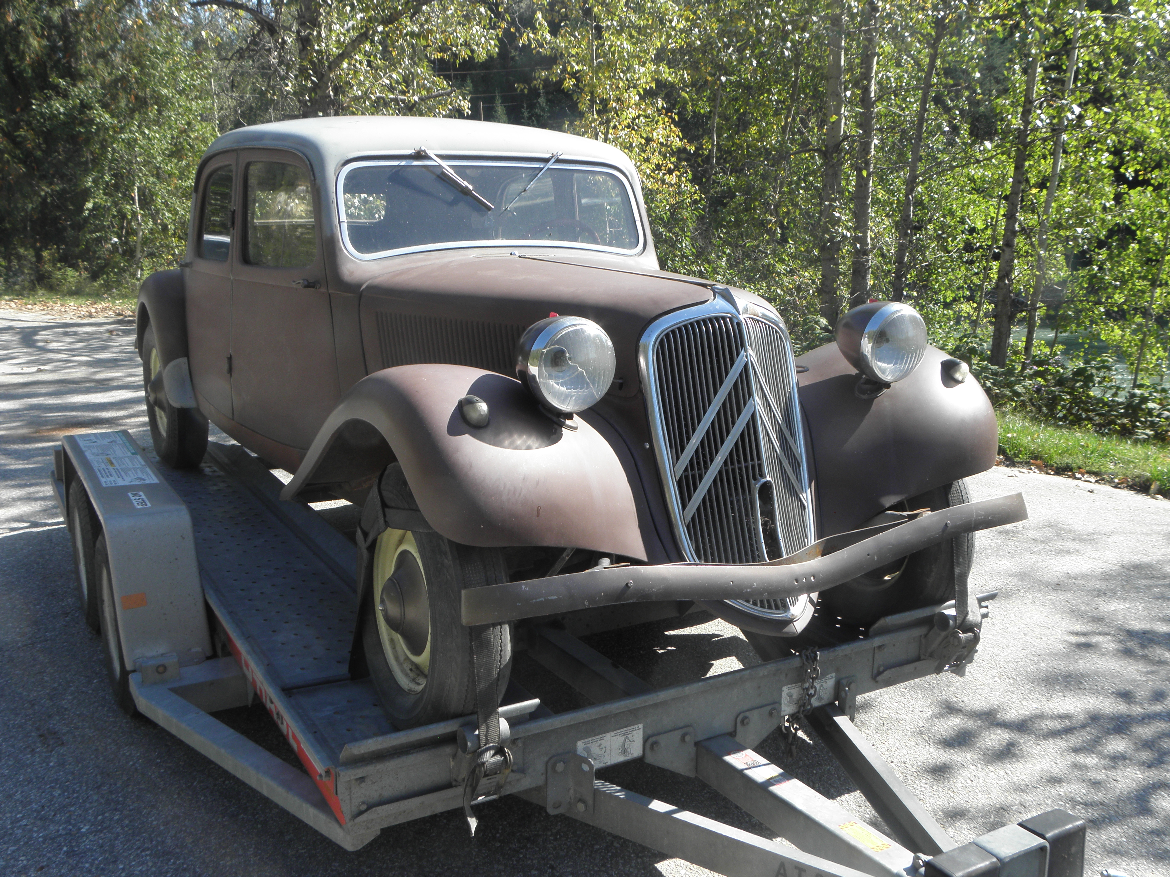
At another lay-by was this slightly shabby but sound-looking Citroen:
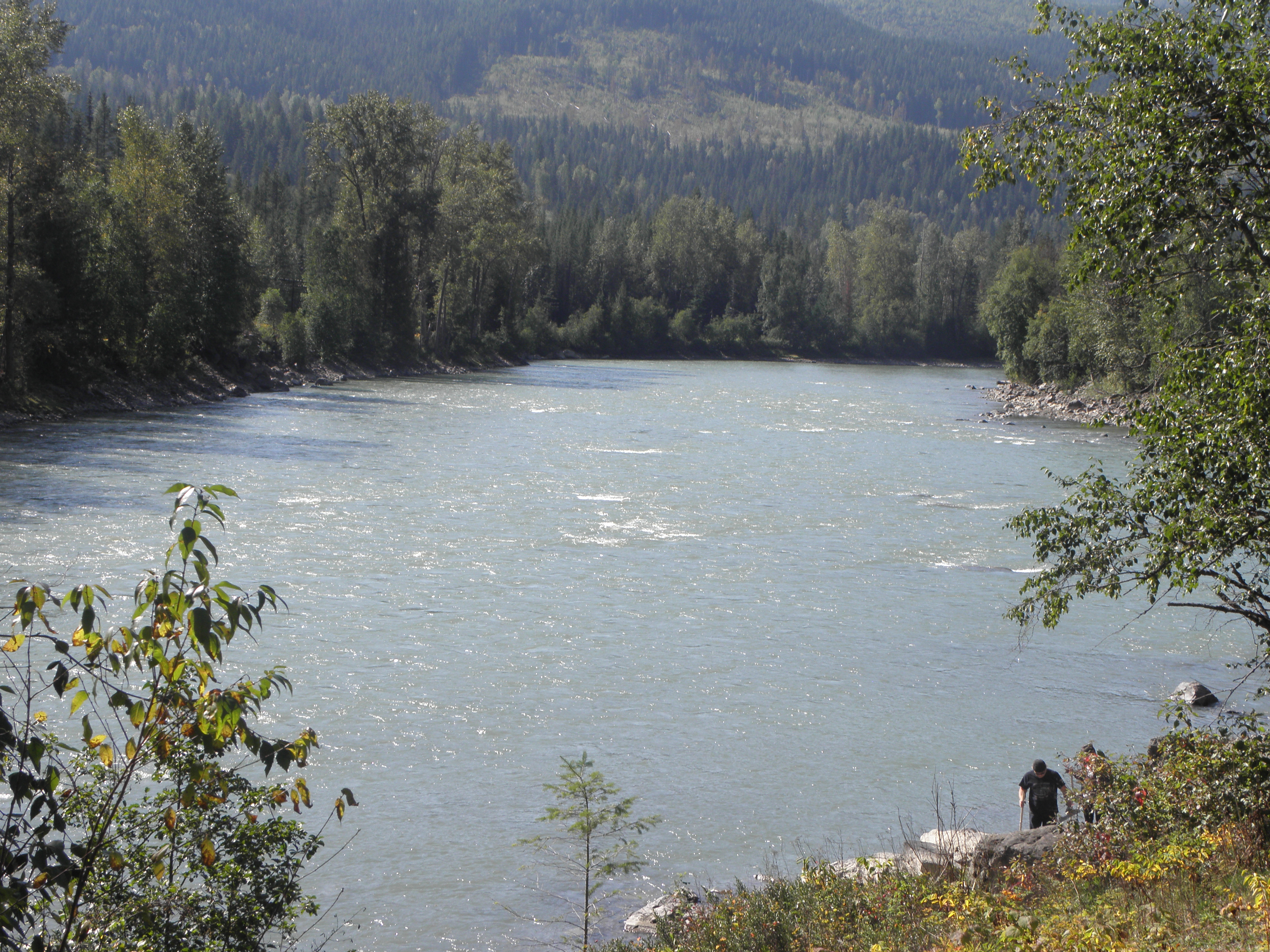
in marked contrast to the not-at-all-shabby river:
The first fruit stand and vineyard popped up about 40 km north of Kamloops; such things will form a major component of the scenery the way down to the border and beyond. Kamloops bring navigational complications because it's the junction of a Several of main roads but eventually you get fired off up the valley of the South Thompson River. By now the space between the trees is a lot larger than it was further north and it has a semi-desert look to it. The pale-coloured cliffs along the opposite side of the river looks as though they were airlifted here from New Mexico. However, the branch of BC-97 I wanted (for they are legion in these parts) climbs back into the hills and looks more like Colorado:
Down into the Okanagan valley ad turn sharp right onto the minor road along the west side of said lake. It's narrow and twisty and they're digging it up but the main road goes the other side of the hills on the east side, so you can't see the lake, and also smack through the middle of Kelowna. Which you do not want to do at that time of day. As noted in 2015, the lake is long, and monster-haunted, and here is a picture to prove it1:
USAnia tomorrow, and hopefully:
1: May contain traces of Lie
Also outside the door, or rather above it, is this sign, carefully photographed in the rear window of That Shitbox Dodge to make it look more arty.
You will note, if you click the above fully to embiggen it, that while it warns of the hazards of falling H2O, it does *not* counsel the inattentive traveller not to tolchock his or her gulliver against the dangly flowerpot. The bastards.
Hey-ho for BC-16 eastwards again. More of the same, but with a deer either side of the road on leaving town. They are the same colour as the unwiped portion of That Shitbox Dodge's rear window. There was also evidence of a major lorry-versus-Bambi smooshing a bit further up the road. I found myself wondering why the driver of the Ford F-150 in front of me did a swift three-point turn on passing the smoosh-stain and shot back towards McBride. My suspicion was that he was looking for roadkill.
Turned off onto BC-5 just before Tete Jaune Cache, thereby avoiding venturing back into Alberta. Lovely road. A brief climb out the the Fraser River valley and into that of the North Thompson River, which means it's downhill pretty much all the way to Kamloops, which is a Good Thing from the perspective of fuel consumption. The gophers living at the Thunder River rest area have taken up golf:
At another lay-by was this slightly shabby but sound-looking Citroen:
in marked contrast to the not-at-all-shabby river:
The first fruit stand and vineyard popped up about 40 km north of Kamloops; such things will form a major component of the scenery the way down to the border and beyond. Kamloops bring navigational complications because it's the junction of a Several of main roads but eventually you get fired off up the valley of the South Thompson River. By now the space between the trees is a lot larger than it was further north and it has a semi-desert look to it. The pale-coloured cliffs along the opposite side of the river looks as though they were airlifted here from New Mexico. However, the branch of BC-97 I wanted (for they are legion in these parts) climbs back into the hills and looks more like Colorado:
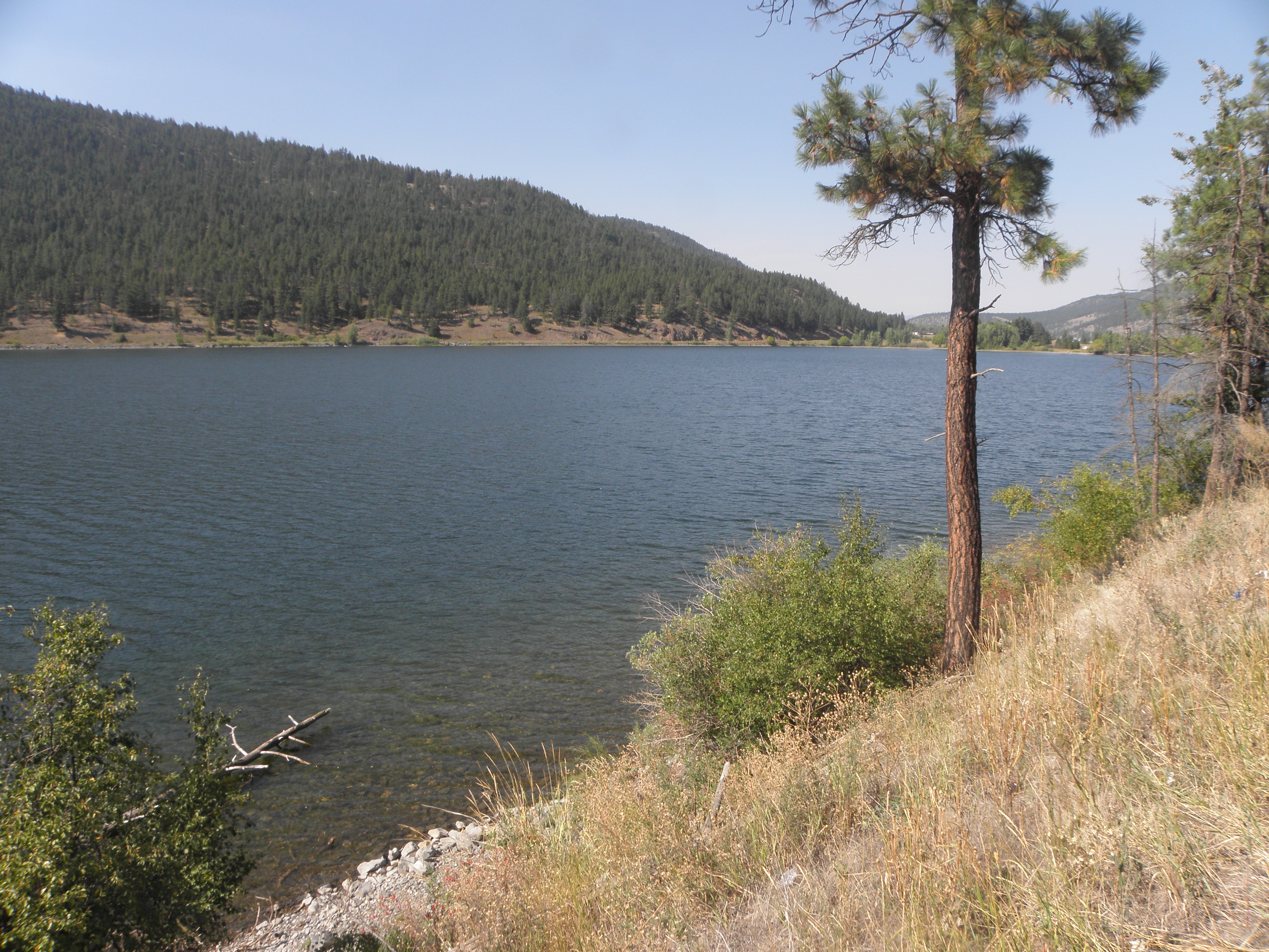 |
| Monte Lake |
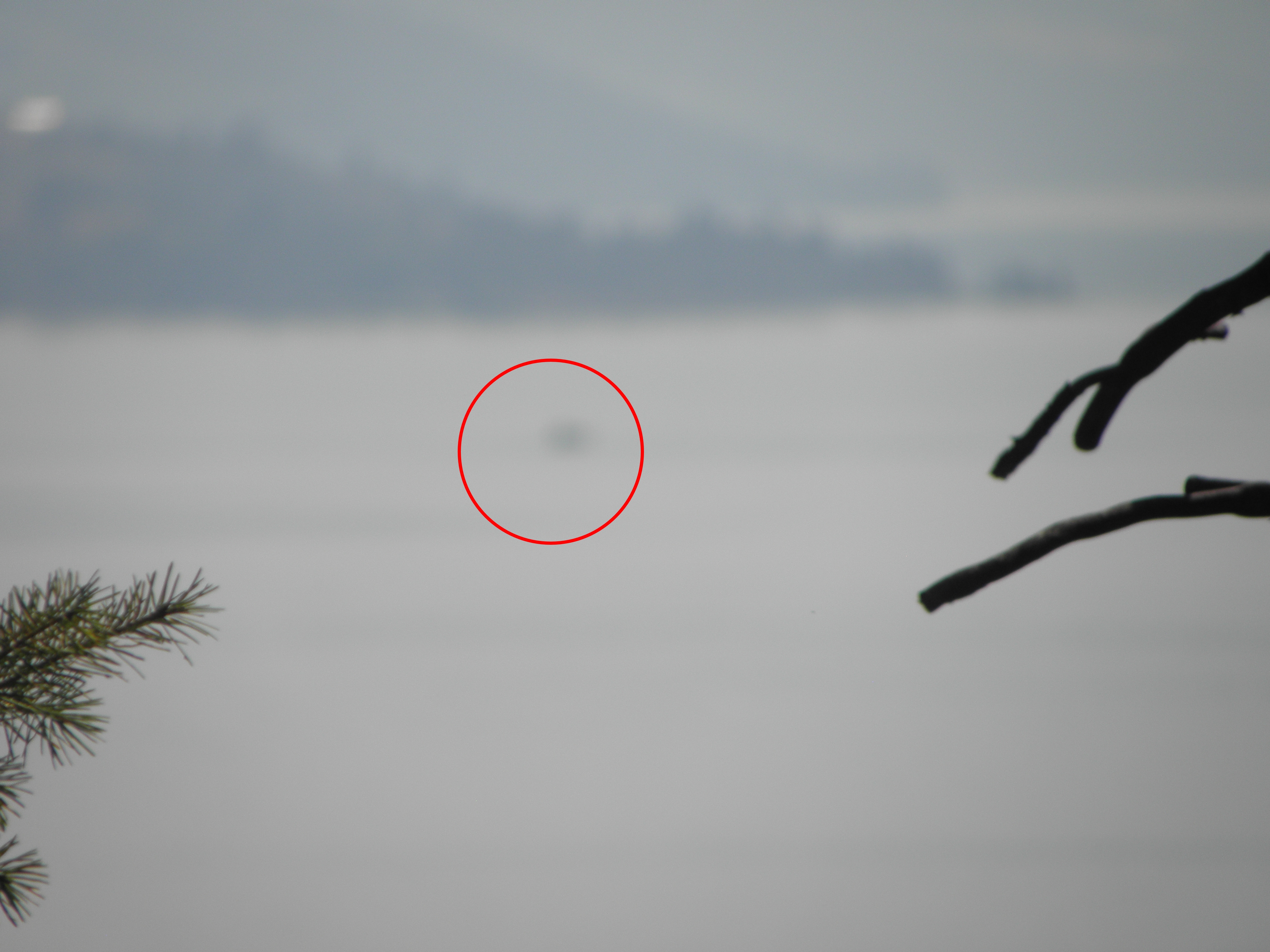 |
| Ogopogo (circled); the Okanagan Lake monster |
- I will get to see the Columbia River gorge this time, and
- The NSA haven't tipped off the chaps at the border about all the beastly things I may have thought about the Fanta Menace.
1: May contain traces of Lie
Wednesday, 5 September 2018
Day 15: Smithers BC - McBride BC
I have been here before. The entirety of today's route being a replay of ground covered in 2015. Then it was raining. Today it was mostly sunny, though there was an attack of smoke west of Burns Lake and another hovering over Prince George. But I get ahead of myself.
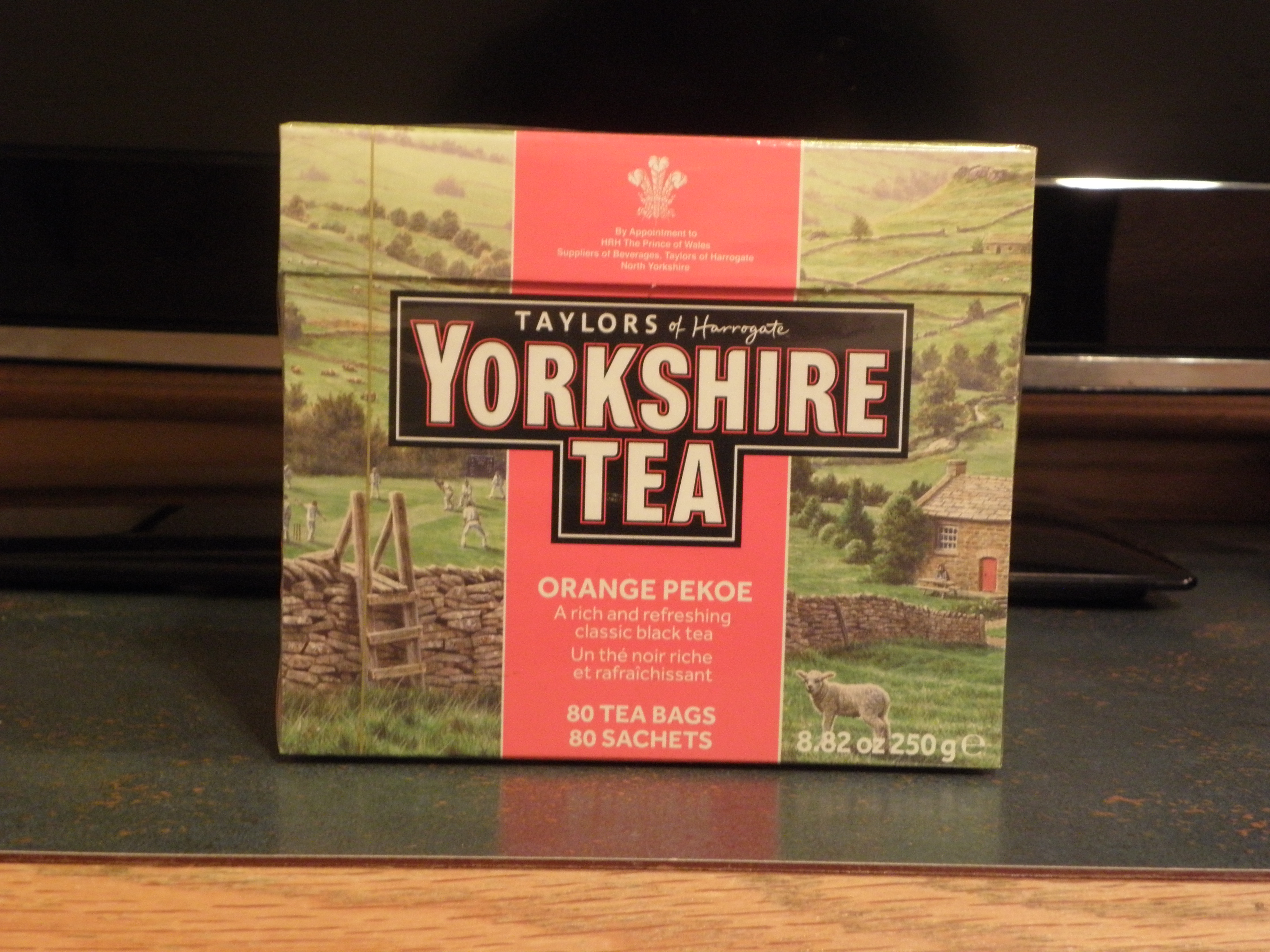
Examination of the plastic box in which I keep my stock of tea bags revealed a noticeable shortage of, well, the wherewithal to make The Cup That Cheers. Assembling all available digits into some kind of arithmetical device indicated that I had done my sums wrong.
Eighty tea bags will not be sufficient, will it? Fortunately the prospect of a tea drought was staved off by the good offices of Safeway in Smithers, who sold me, for the princely sum of seven dollars and thirty-nine cents, this:
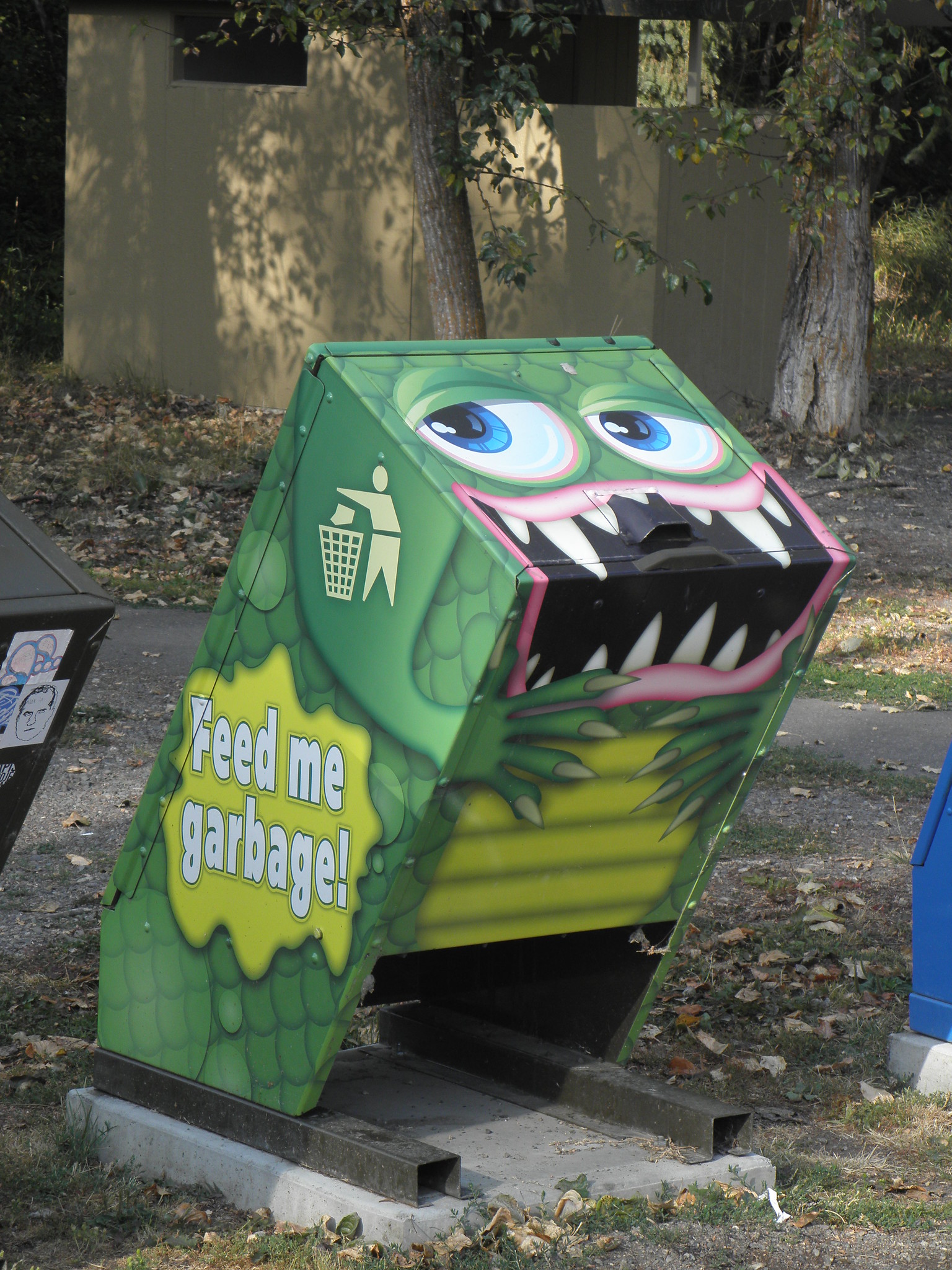
BC-16 as far as Prince George, when it's not hidden behind a cloud of smoke, is quite agricultural though there are still enough trees to support a heavy population of sawmills and the inevitable logging truck plague that goes with them. And quite a lot of other traffic as well, which is definitely a novelty after such a long time in the wilderness. BC does, however, have some cool roadside bins:
as well as this odd memorial thingy:
Prince George is by far the biggest place I've been to since leaving Anchorage and sits coughing under a cloud not entirely of its own making. BC-16 soon emerges into the sunshine on the other side and back into the trees for most of the remaining 200-odd km to McBride. The Rockies are doing their rearing-up trick in the distance and there are some quite nifty mountains surrounding McBride too, though the town nestles in the Robson Valley and has fields and cows and things in the vicinity. If you're good, I'll show you the view from the North Country Lodge tomorrow.
Examination of the plastic box in which I keep my stock of tea bags revealed a noticeable shortage of, well, the wherewithal to make The Cup That Cheers. Assembling all available digits into some kind of arithmetical device indicated that I had done my sums wrong.
- I am in ABROAD, where the FOREIGNS come from, for a month
- Two mugs of tea per evening
- Two bags per mug, for the mug is large
Eighty tea bags will not be sufficient, will it? Fortunately the prospect of a tea drought was staved off by the good offices of Safeway in Smithers, who sold me, for the princely sum of seven dollars and thirty-nine cents, this:
BC-16 as far as Prince George, when it's not hidden behind a cloud of smoke, is quite agricultural though there are still enough trees to support a heavy population of sawmills and the inevitable logging truck plague that goes with them. And quite a lot of other traffic as well, which is definitely a novelty after such a long time in the wilderness. BC does, however, have some cool roadside bins:
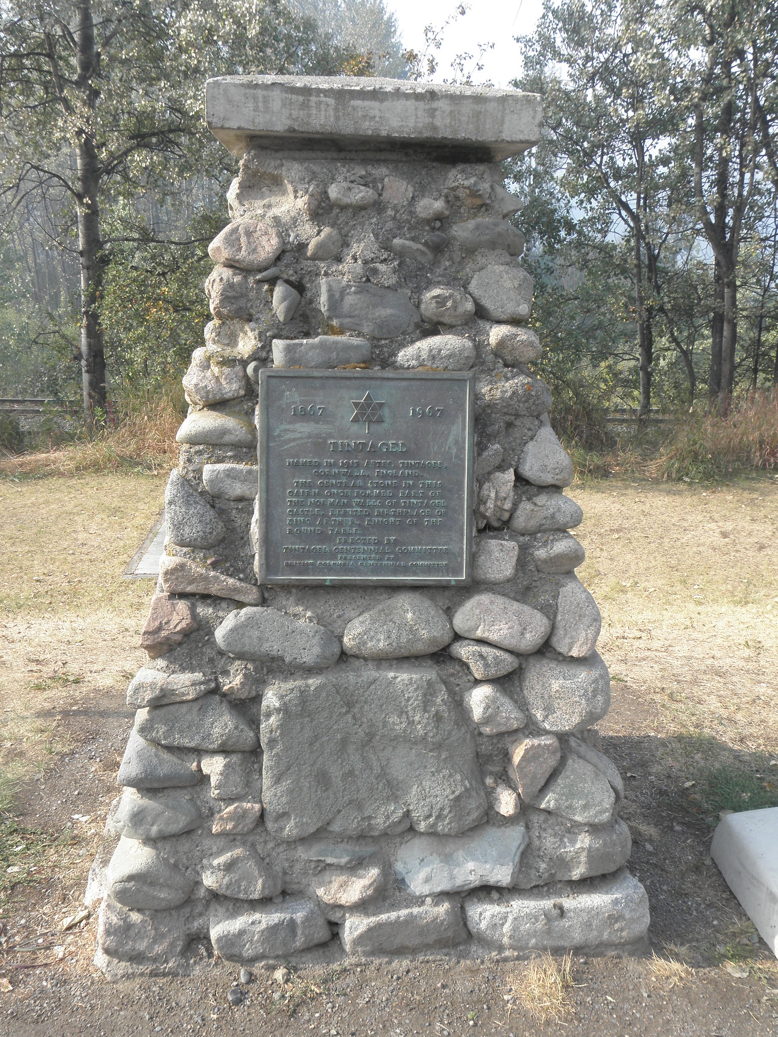
as well as this odd memorial thingy:
Named in 1913 after Tintagel, Cornwall, England. The central stone in this cairn once formed part of the Norman walls of Tintagel Castle, reputed birthplace of King Arthur, Knight of the Round Table.To Vanderhoof. Vanderhoof claims to be the geographical centre of British Columbia. It's more than 400 km as the crow flies from the coast and and >500 km north of the 49th parallel, which gives one some idea of just why it's taking me four days to get from Watson Lake to USAnia.
Prince George is by far the biggest place I've been to since leaving Anchorage and sits coughing under a cloud not entirely of its own making. BC-16 soon emerges into the sunshine on the other side and back into the trees for most of the remaining 200-odd km to McBride. The Rockies are doing their rearing-up trick in the distance and there are some quite nifty mountains surrounding McBride too, though the town nestles in the Robson Valley and has fields and cows and things in the vicinity. If you're good, I'll show you the view from the North Country Lodge tomorrow.
Tuesday, 4 September 2018
Day 14: Dease Lake BC - Smithers BC
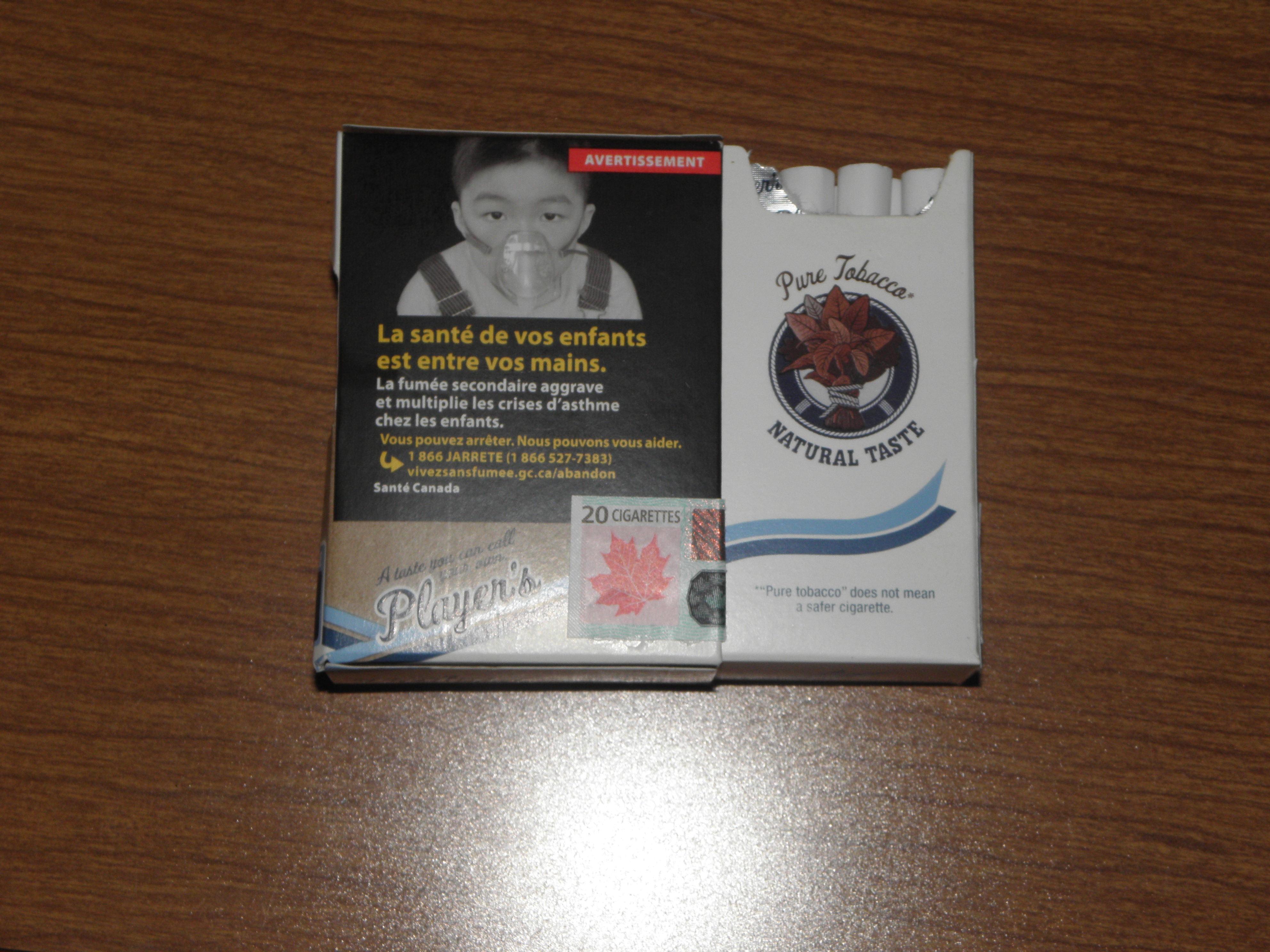
Things I learned today: Canadian fag packets open sideways!
The wildlife tally is now up to three live BEARS (plus two dead ones), as well as yesterday's fox, a coyote on the outskirts of Whitehorse and an unidentified but vaguely feline-looking beastie cross the Klondike Highway the other day. Too far away to spot many distinguishing features. Today's live BEARS were determined not to be photographed. One I only had a brief sight of as I was behind a bus-sized motorhome; the other got spooked by That Shitbox Dodge creeping up on him and ran off into the woods just as I was getting the camera pointed in the right direction. I tried stopping at a rest area and making a noise like a bowl of porridge but no takers.
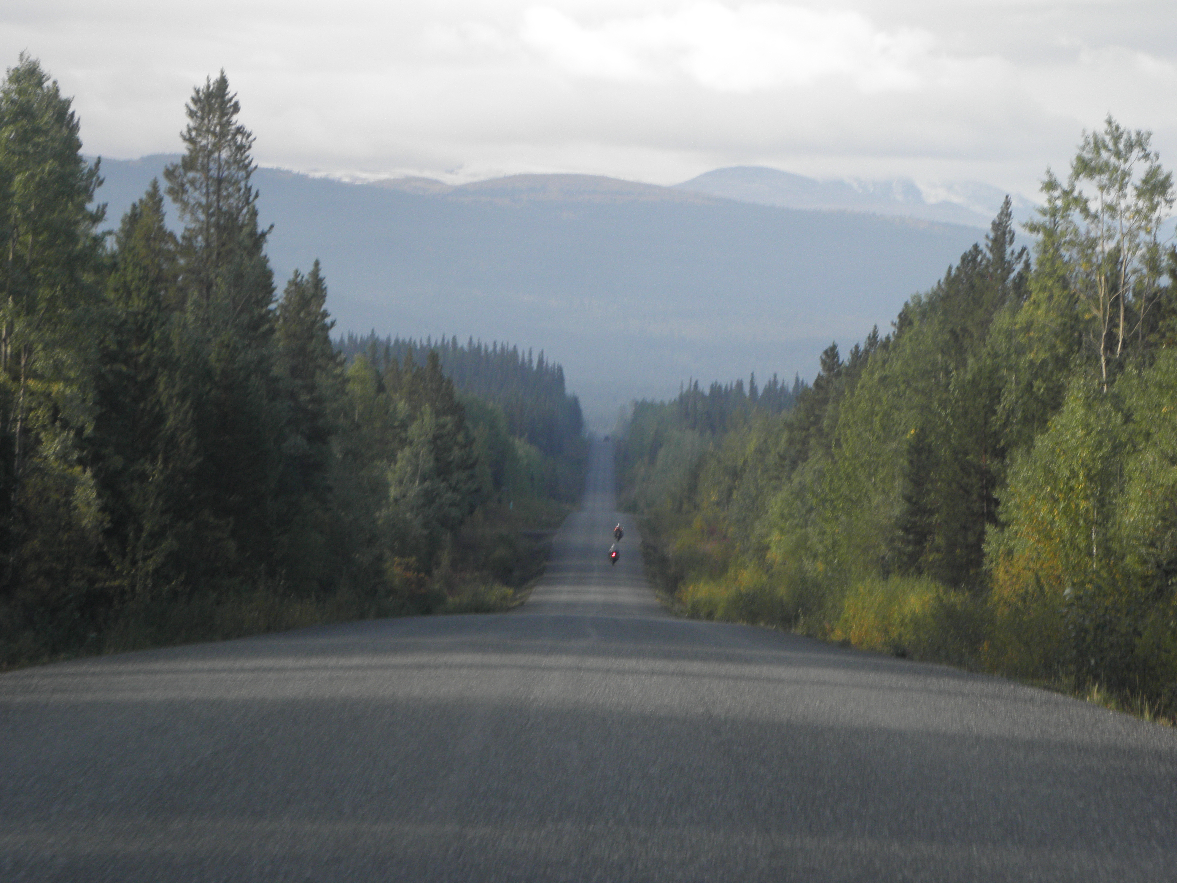
The Cassiar Highway south of Dease Lake is very much like the Cassiar Highway north of Dease Lake, though this morning I was sharing it with five Alaskan bikers at least until they stopped for breakfast after 100 km.
Though shortly after the Stikine River bridge, they have thrown in a kilometre or so of gravel just to keep the bikers on their toes - it being quite a steep and wiggly hill and - today at least - blanketed in low cloud.
The road heads pretty much due south,as confirmed by Emily's built-in compass and not by the similar gadget in That Shitbox Dodge. At one point Emily had me - correctly - going south while TSD said I was going east??? Navigation did become easier at the halfway point of the Cassiar, though, because someone had managed to open BC Highways' tin of paint.
Which no doubt helped these two boy-racers at Bob Quinn Lake airport:
First of two junctions encountered in 600 km was at Meziadin Junction. Straight on for Stewart and Hyder AK, but I went there in 2015 so turned left. A few kilometres on I had intended to make use of the rest area at the Nass River bridge, but The Man is in the middle of replacing the old single lane bridge and the former rest area is full of Big Yellow Things doing nothing (for today is a Bank Holibob in Leftpondia). The Nass River rest area was where I met Ursula and Farley for the first time in 2015, only to meet them again a couple of weeks later and a Several of hundreds of km away.
Kitwanga brings civilisation or, put another way, cows. These may actually be the first cows I've seen on the entire trip. There is also a junction. Left for the final run towards Smithers. New Hazelton brings both the first traffic light in more than 1200 km and the sound of a lawnmower, for it is still just about summer down here. And just like in 2015, Emily tries to knock 50 yards off the trip by diverting me through the residential bit of Moricetown. This time I am not fooled and thus got to see this:
And so to Smithers. The good news is that I am at the back of the building and thus away from BC-16, wot is the main road between the port of Prince Rupert and Prince George, the largest town in the area. The bad news is that the railway line is on this side of the building too. Bah!
The wildlife tally is now up to three live BEARS (plus two dead ones), as well as yesterday's fox, a coyote on the outskirts of Whitehorse and an unidentified but vaguely feline-looking beastie cross the Klondike Highway the other day. Too far away to spot many distinguishing features. Today's live BEARS were determined not to be photographed. One I only had a brief sight of as I was behind a bus-sized motorhome; the other got spooked by That Shitbox Dodge creeping up on him and ran off into the woods just as I was getting the camera pointed in the right direction. I tried stopping at a rest area and making a noise like a bowl of porridge but no takers.
The Cassiar Highway south of Dease Lake is very much like the Cassiar Highway north of Dease Lake, though this morning I was sharing it with five Alaskan bikers at least until they stopped for breakfast after 100 km.
Though shortly after the Stikine River bridge, they have thrown in a kilometre or so of gravel just to keep the bikers on their toes - it being quite a steep and wiggly hill and - today at least - blanketed in low cloud.
The road heads pretty much due south,as confirmed by Emily's built-in compass and not by the similar gadget in That Shitbox Dodge. At one point Emily had me - correctly - going south while TSD said I was going east??? Navigation did become easier at the halfway point of the Cassiar, though, because someone had managed to open BC Highways' tin of paint.
Which no doubt helped these two boy-racers at Bob Quinn Lake airport:
First of two junctions encountered in 600 km was at Meziadin Junction. Straight on for Stewart and Hyder AK, but I went there in 2015 so turned left. A few kilometres on I had intended to make use of the rest area at the Nass River bridge, but The Man is in the middle of replacing the old single lane bridge and the former rest area is full of Big Yellow Things doing nothing (for today is a Bank Holibob in Leftpondia). The Nass River rest area was where I met Ursula and Farley for the first time in 2015, only to meet them again a couple of weeks later and a Several of hundreds of km away.
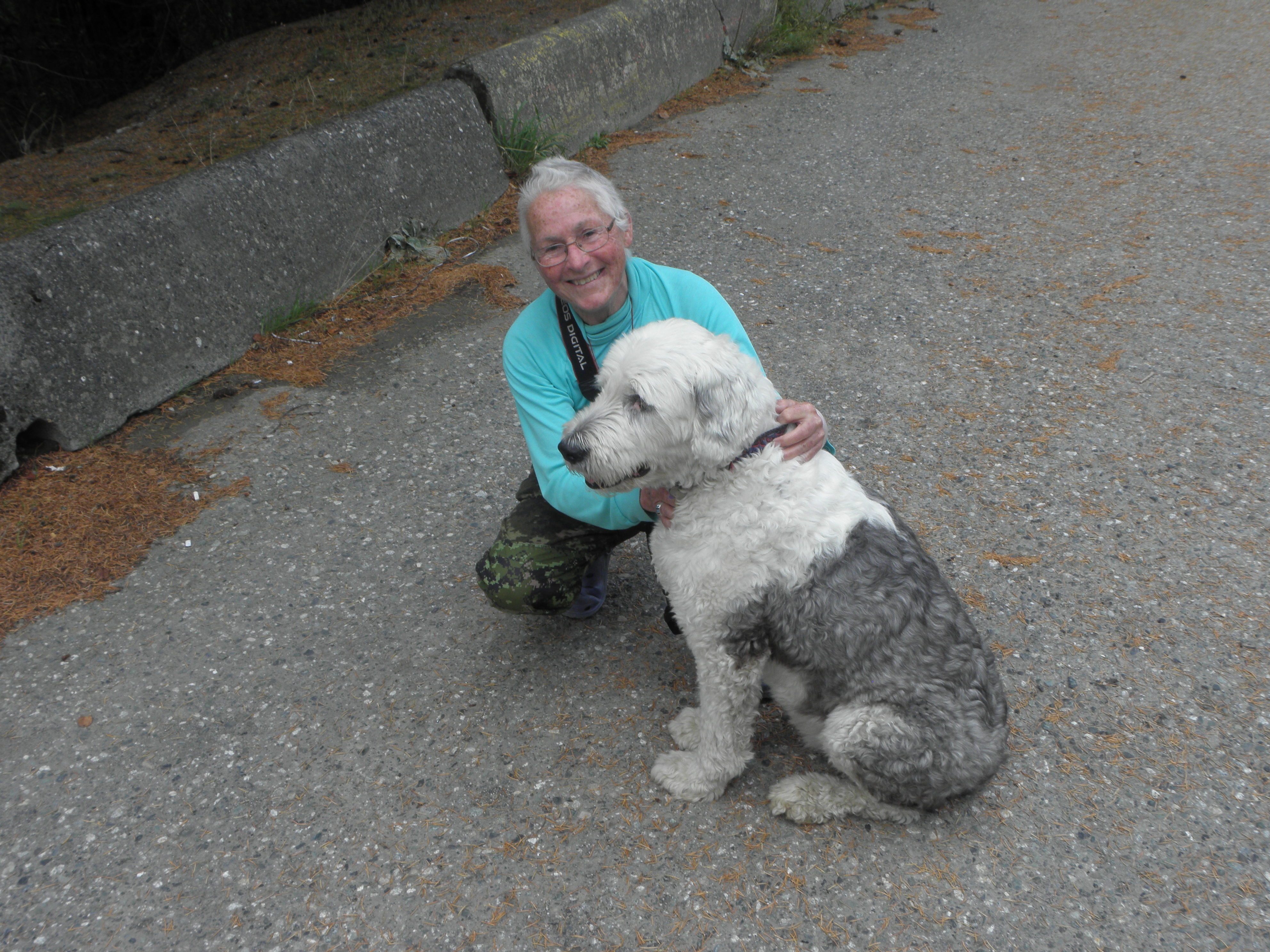 |
| Ursula and Farley at Hells Gate in 2015. Ursula is the one with the blue jumper. |
And so to Smithers. The good news is that I am at the back of the building and thus away from BC-16, wot is the main road between the port of Prince Rupert and Prince George, the largest town in the area. The bad news is that the railway line is on this side of the building too. Bah!
Monday, 3 September 2018
Day 13: Whitehorse YT - Dease Lake BC
Things to do in Whitehorse on a wet Sunday morning:
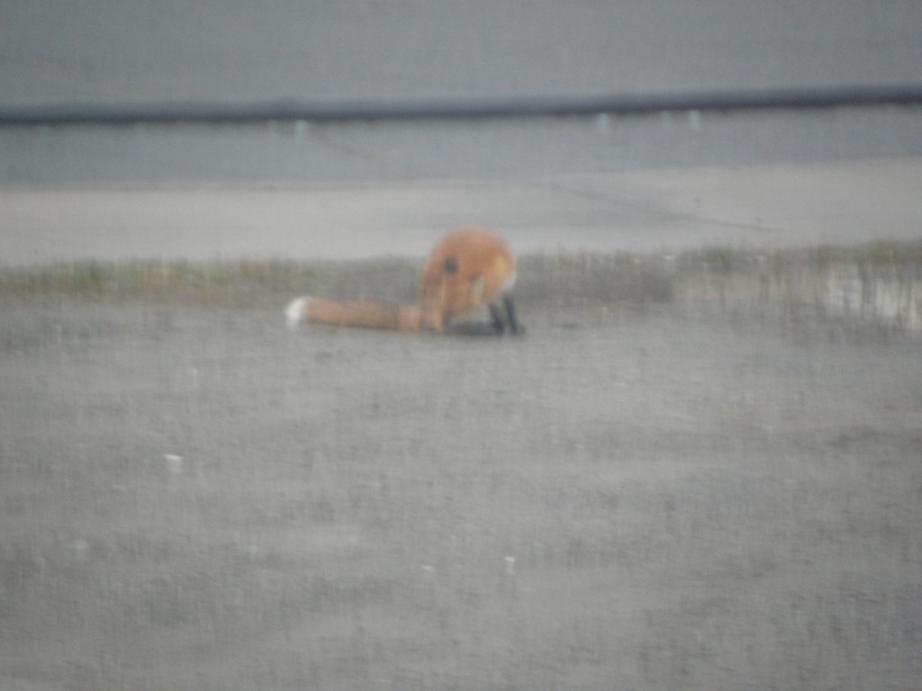
1) Photograph the urban fox licking his 'nads outside the hotel
Yes, it's a rubbish photo. I think the camera auto-focussed on the (closed) window instead of Foxy-Woxy, but if you install Hollywood-OS™ you will easily be able to count the hairs in his big furry tail.
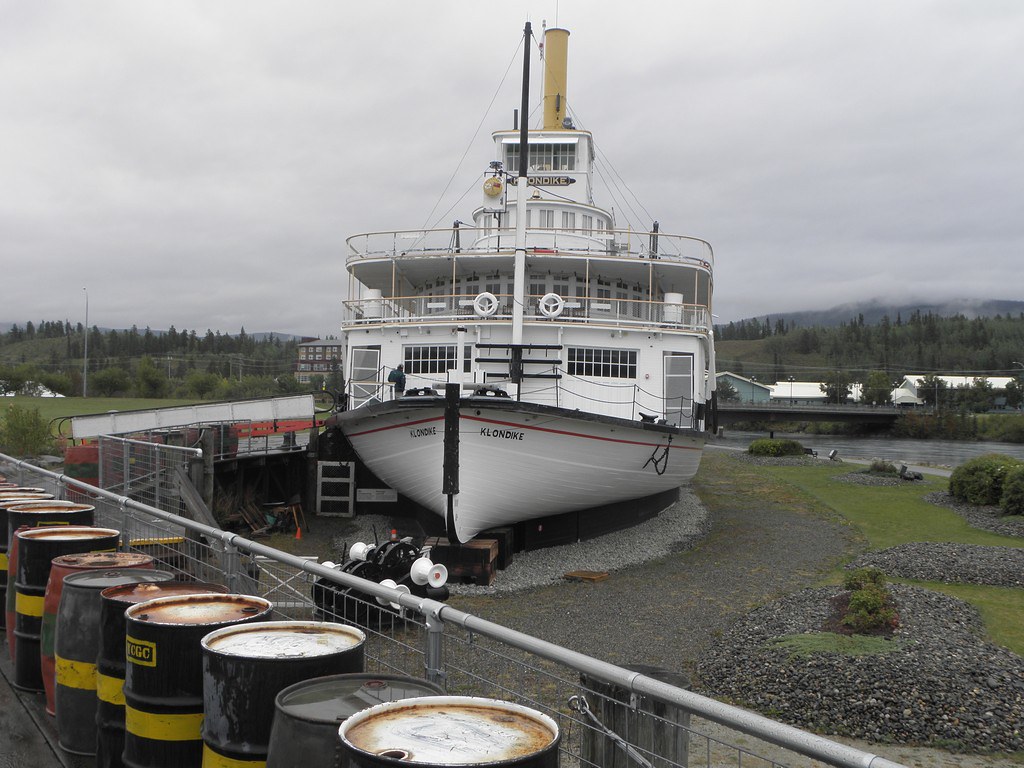
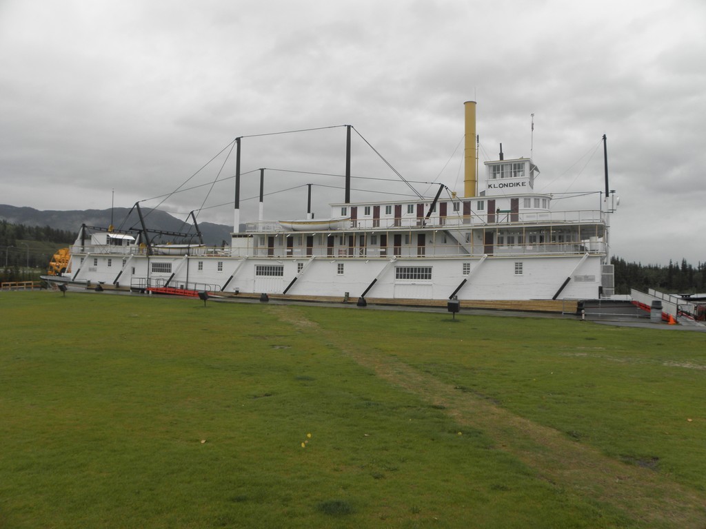
2) Visit the SS Klondike, parked on the bank of the Mighty Yukon and tended this morning by a chap with a bushy black beard and an eye-patch. He looked pretty fierce so I did not inquire as to the wellbeing of his parrot.
The Klondike (more accurately, the Klondike II as the Klondike I ran aground somewhere on the river and was cannibalised to build this one in 1937) is the big sister of the Keno, and is 64m long, 12.5m wide and draws a mere 1m when fully loaded1.
3) Get on Robert Service Way and hightail it out of town. Robert Service, aka "The Bard Of The Yukon", was born to Scottish parents in Preston and didn't fetch up in the Yukon until he was thirty and only spent eight years there before clearing off to Paris, but is revered for his "verse" in these parts - he was careful not to refer to it as "poetry" though it was still dismissed as doggerel by the literati.
From Whitehorse it was more or less a straight retrace back to Watson Lake, except for the bit I missed out with the diverfsion via Tagish and Carcross on the way up. This bit does not look any different to any of the other bits of the Alaska Highway in the Yukon. I went back to Watson Lake for two reasons:
a) To buy a sandwich, and
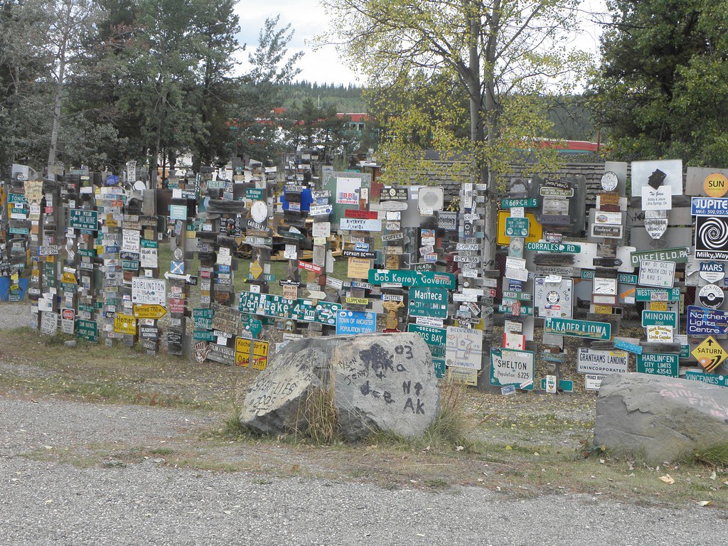
b) To check out the Sign Post Forest, which I had driven right past without noticing last week.
This was started by a Private Carl K. Lindley of the US Army Corps of Engineers in 1942, during the construction of the Alaska Highway. He added a sign pointing to his hometown of Danville IL to an existing signpost he had been ordered to repair, other squaddies added to it and now it covers a Several of acres.
Retrace 20-something km again to J37 and turn south onto the Cassiar Highway, leaving Yukon for good shortly thereafter. The road is narrower than the Alaska Highway and the parsimonious British Columbians have saved a few bob by not painting a line down the middle, and the Cassiar Mountains are a lot more in-yor-face than anything to be seen on the main road. In spite of this, I still found myself in danger of falling asleep so stopped for a snooze and hence didn't get here until 17:30. Travellers should note that if you stick to the posted speed limit in this corner of Canada you will be, barring the odd outsize motorhome, the slowest thing on the road and probably travlling faster than Josh Homme's new business venture too:
1: All fakts are korekt for a change
Sunday, 2 September 2018
Day 12: Chicken AK - Whitehorse YT
With it being officially Quite a Long Way from Chicken to Whitehorse, I opted for an early start, stuck my snout out of the cabin and found this:
And promptly went back to bed again, a decision helped by the fact that the caff didn't start serving breakfast until 08:30. -2 degrees according to That Shitbox Dodge. I wore socks and Proper Shoes.
If you were to turn right out of Chicken RV Park you would find yourself back on the Taylor Highway, and because the paved road ends immediately after crossing the bridge over Chicken Creek, I didn't go that way. If I had, I would have found that the Taylor continues up hill and down dale for 50 km to Jack Wade junction and, although it is said to contain some rough bits, is generally held to be not much worse than an an English country lane in winter. Certainly better than the road off Watership Down in February, as can be seen from this photo which I did not take today:
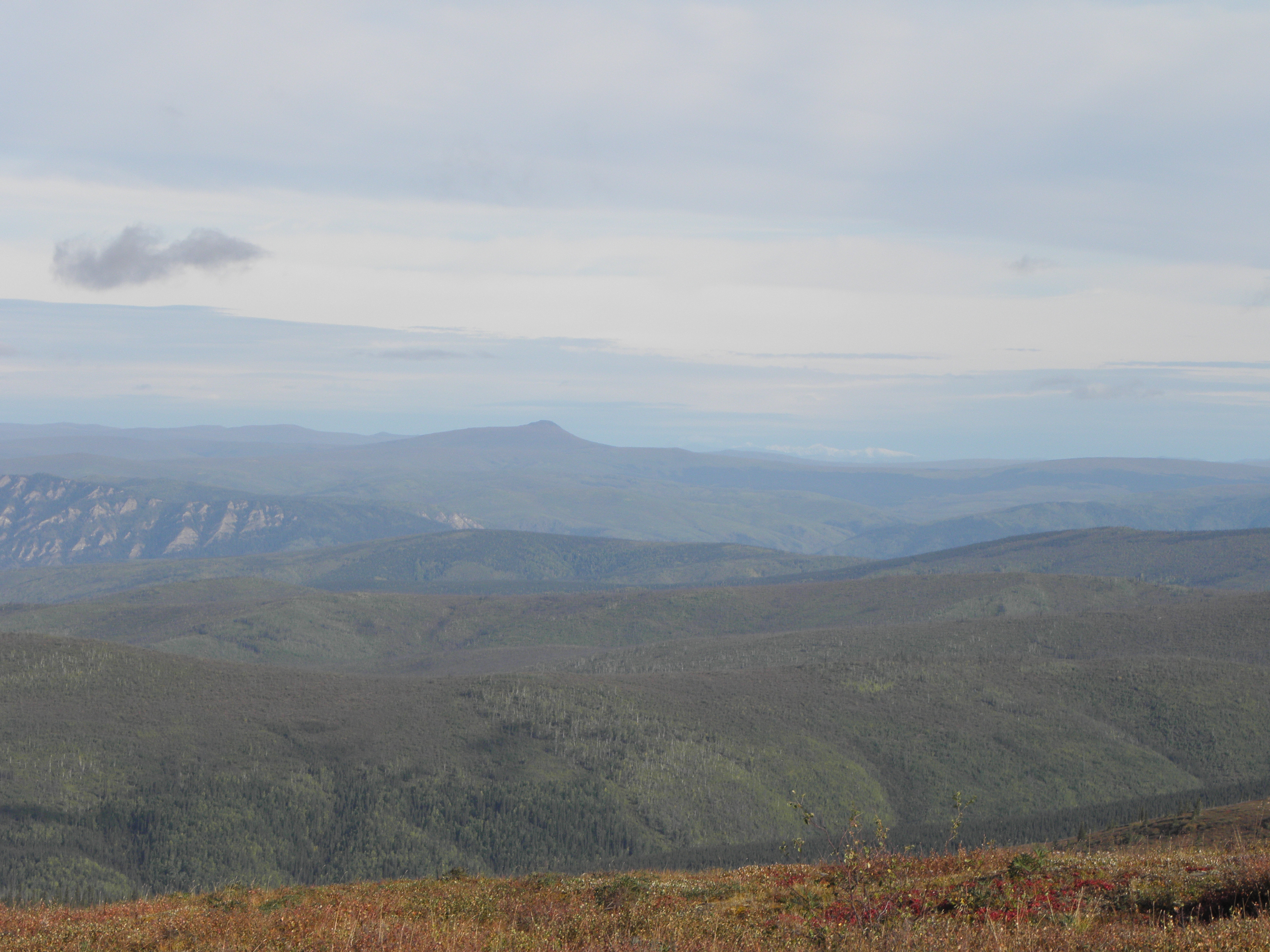
At Jack Wade Junction, a traveller could head further north to Eagle, on the bank of the Mighty Yukon river, or continue east to the USAnia-Canuckistan border. I didn't do the latter because, remember, I wasn't there. The road - according to The Milepost - becomes a beautifully smooth stretch of tarmac yclept the Top Of The Word Highway, from its habit of running along the ridgelines rather than sticking to the valley floors. Rather like Trail Ridge Road in Rocky Mountain National Park, where, unlike the TOTW, I have actually been. Shame, really, as otherwise I would have seen views like this:
Once back into Canuckistan, a traveller might be forgiven, from looking at the map and the route description that the continuation of the TOTW Highway in Yukon is mostly tarmac, but the traveller would be this: wrong. I am told that it is actually (mostly) smooth dirt on which, unlike the Taylor, it is possible to maintain the 80 km/h speed limit without fearing for one's tyres. If one were to continue that way, one would eventually find oneself descending a gert big hill. At the bottom of which it is, apparently, wise to stop as otherwise you will drive into this:
It doth flow most deep and fast, so it is recommended that any traveller who, unlike me, finds themselves on that side of the Mighty Yukon, uses this instead:
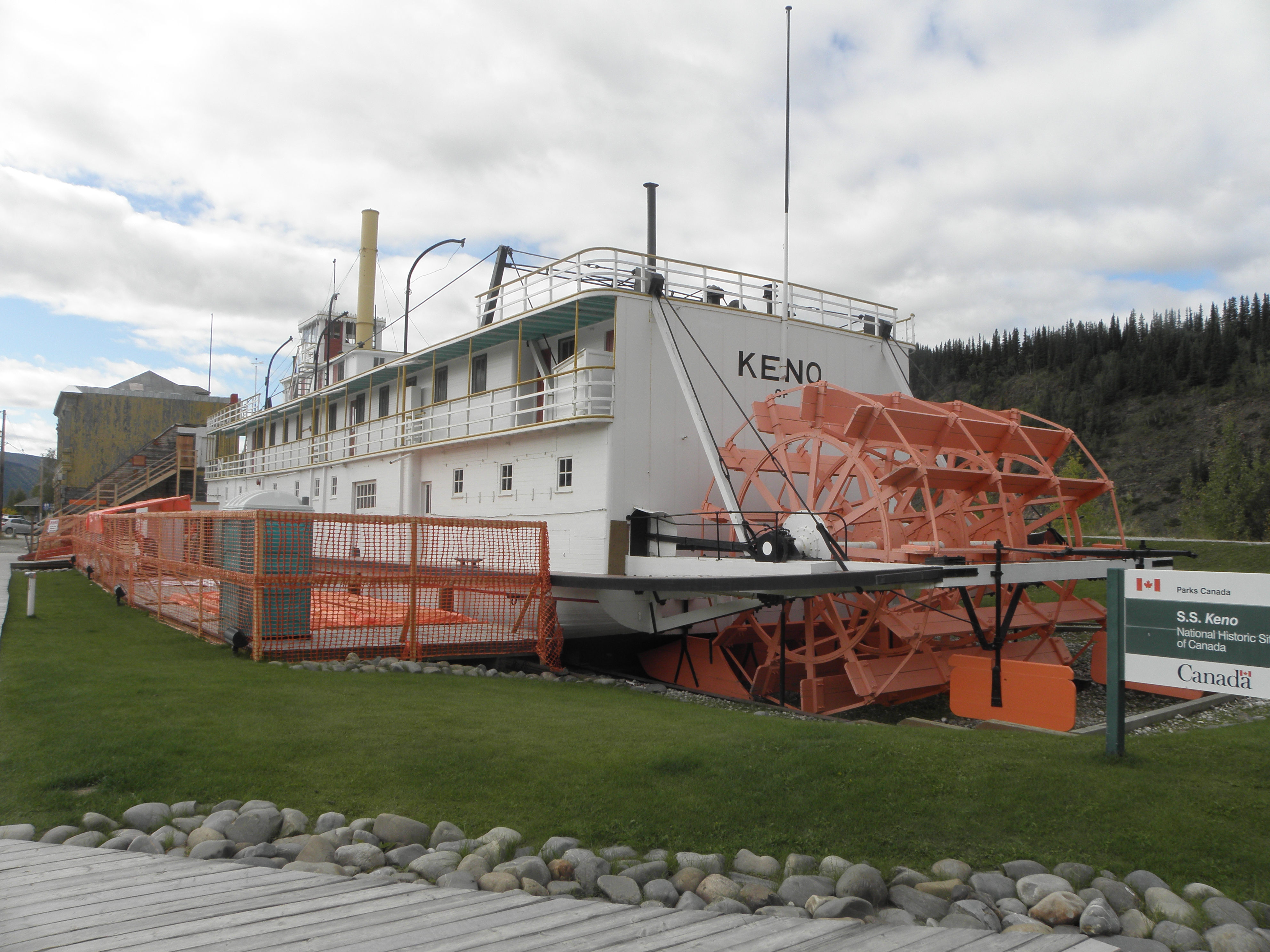
This lands you in Dawson City, connected to the rest of Canuckistan by a proper paved road. Thus it is safe to say that I have been there. Dawson City hav a very interesting history if you are interested in hist. which few boys are. Lying as it does at the confluence of the Klondike and Yukon rivers it became a boom town during the Klondike Gold Rush of 1896-99 and shameless trades on this state of affairs to this day. It'd be entirely possible to spend a day or two twatting around in Dawson City, but lacking the time I just had a quick shufti at this:
and went on my merry way. The SS Keno is one of two surviving Yukon stern-wheelers, the other being located about half a mile from here in Whitehorse. They ran between Dawson City and Whitehorse until 1955, when the road reached the former. The road south is relentlessly more-of-the-same trees and lakes for about 550 km. It rained a bit, I stopped to fill That Shitbox Dodge with motor-spirit and it rained some more. And there were some occasional views, and the odd bridge.
Whitehorse is the capital of the Yukon Territory, so you'd expect decent internet connections, yes? Well, they were deeply shit when I went out in search of Dirty Pizza but seem to have got the message now and actually uploaded today's photos without deviation, hesitation or repetition, and I've probably spoken too soon because, as is my wont, I'm typing this in a text editor prior to pasting it into Blogspot's webby SCIENCE...
Additional: this place - the Elite Hotel - may have a slightly down-at-heel ambience but the room has a kettle. Moreover, it has a kettle that can bring a litre of water to the boil in about five minutes! I may have to steal it.
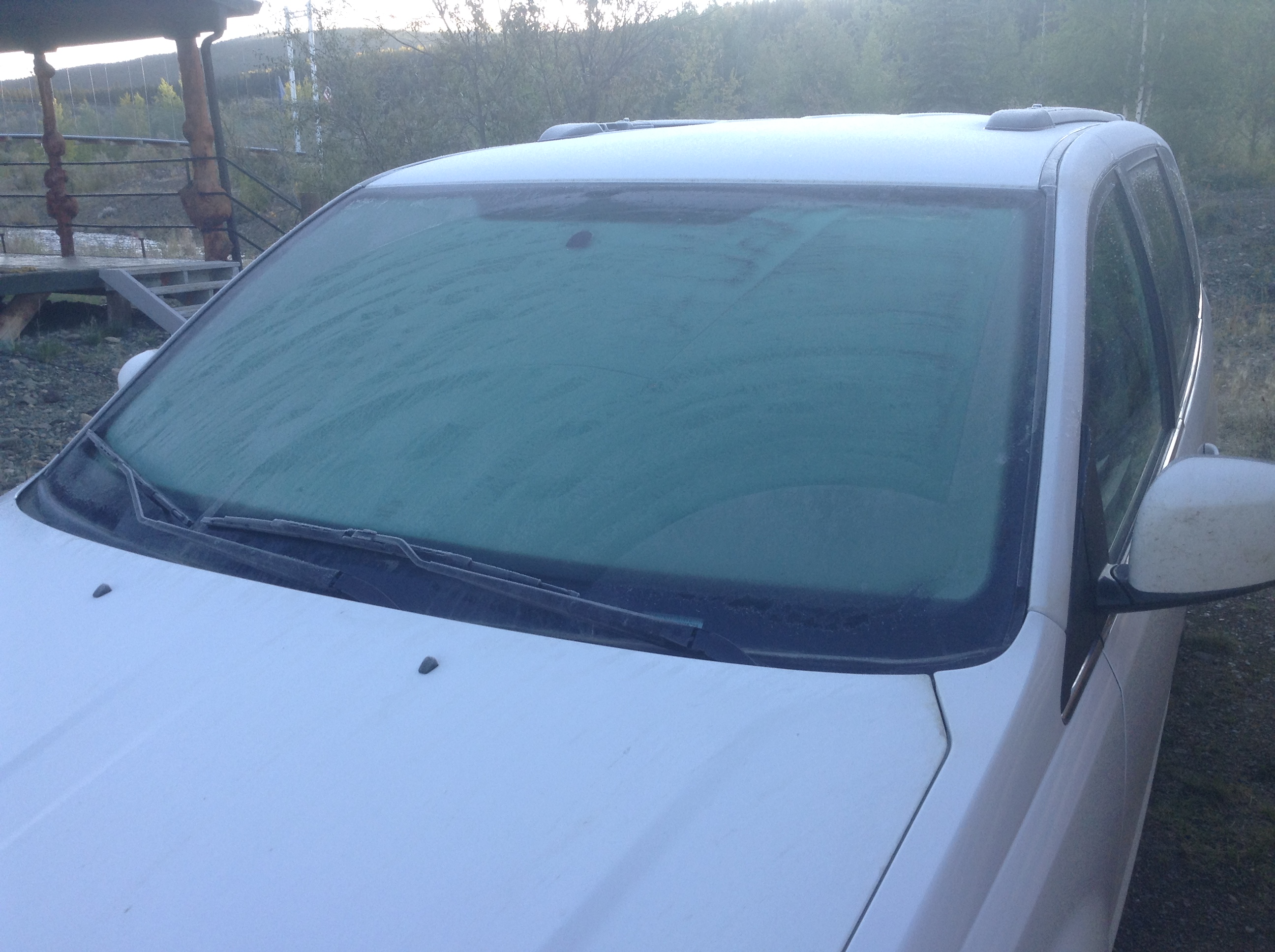 |
| "We have two seasons here: August and Winter" ~ Yukon Native to Phil Llewellin before persuading him to return and travel the Dempster Highway in winter |
If you were to turn right out of Chicken RV Park you would find yourself back on the Taylor Highway, and because the paved road ends immediately after crossing the bridge over Chicken Creek, I didn't go that way. If I had, I would have found that the Taylor continues up hill and down dale for 50 km to Jack Wade junction and, although it is said to contain some rough bits, is generally held to be not much worse than an an English country lane in winter. Certainly better than the road off Watership Down in February, as can be seen from this photo which I did not take today:
At Jack Wade Junction, a traveller could head further north to Eagle, on the bank of the Mighty Yukon river, or continue east to the USAnia-Canuckistan border. I didn't do the latter because, remember, I wasn't there. The road - according to The Milepost - becomes a beautifully smooth stretch of tarmac yclept the Top Of The Word Highway, from its habit of running along the ridgelines rather than sticking to the valley floors. Rather like Trail Ridge Road in Rocky Mountain National Park, where, unlike the TOTW, I have actually been. Shame, really, as otherwise I would have seen views like this:
Once back into Canuckistan, a traveller might be forgiven, from looking at the map and the route description that the continuation of the TOTW Highway in Yukon is mostly tarmac, but the traveller would be this: wrong. I am told that it is actually (mostly) smooth dirt on which, unlike the Taylor, it is possible to maintain the 80 km/h speed limit without fearing for one's tyres. If one were to continue that way, one would eventually find oneself descending a gert big hill. At the bottom of which it is, apparently, wise to stop as otherwise you will drive into this:
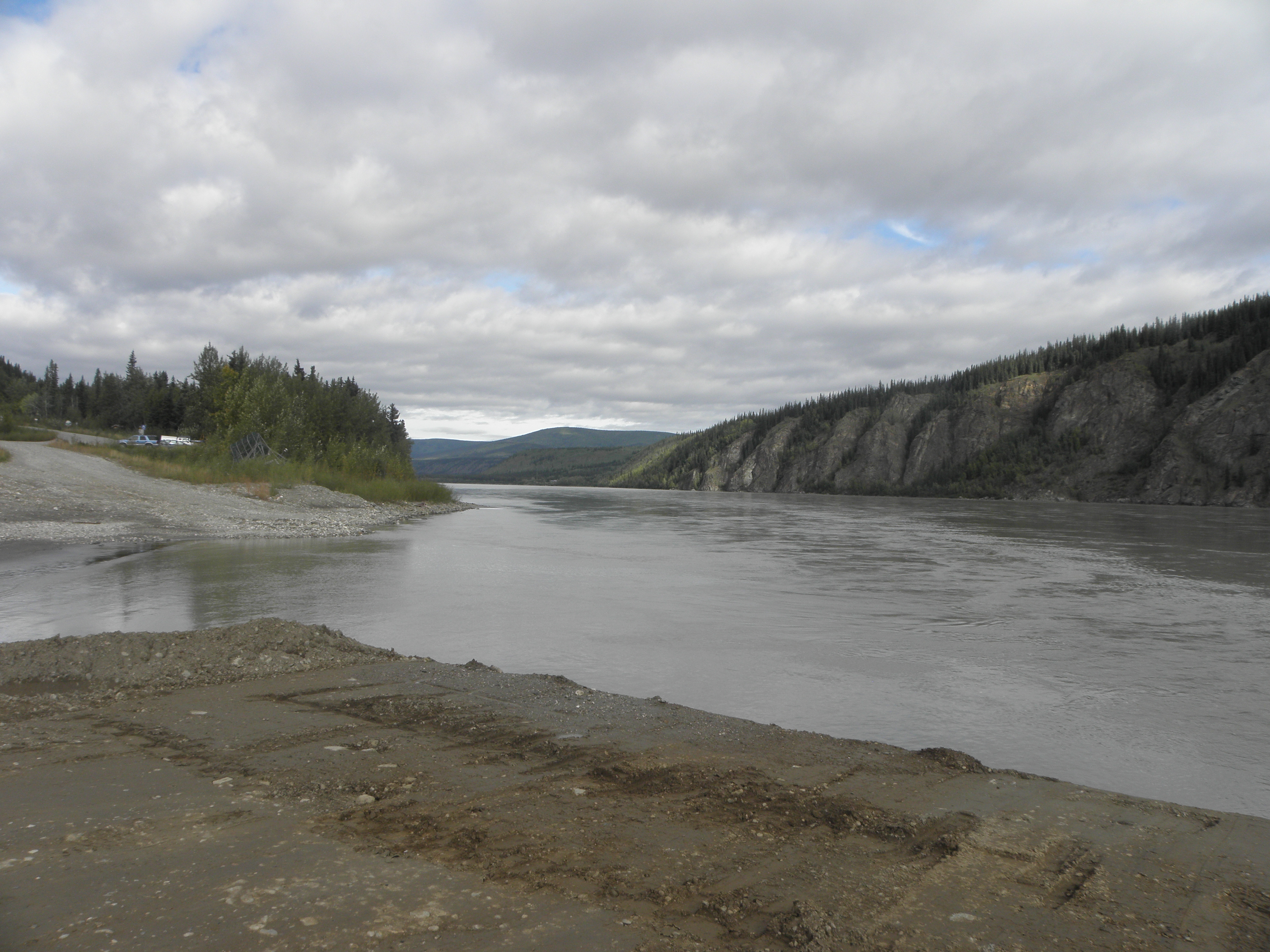 |
| The Mighty Yukon at Dawson City. The pile of Mudde in the foreground is the ferry dock. |
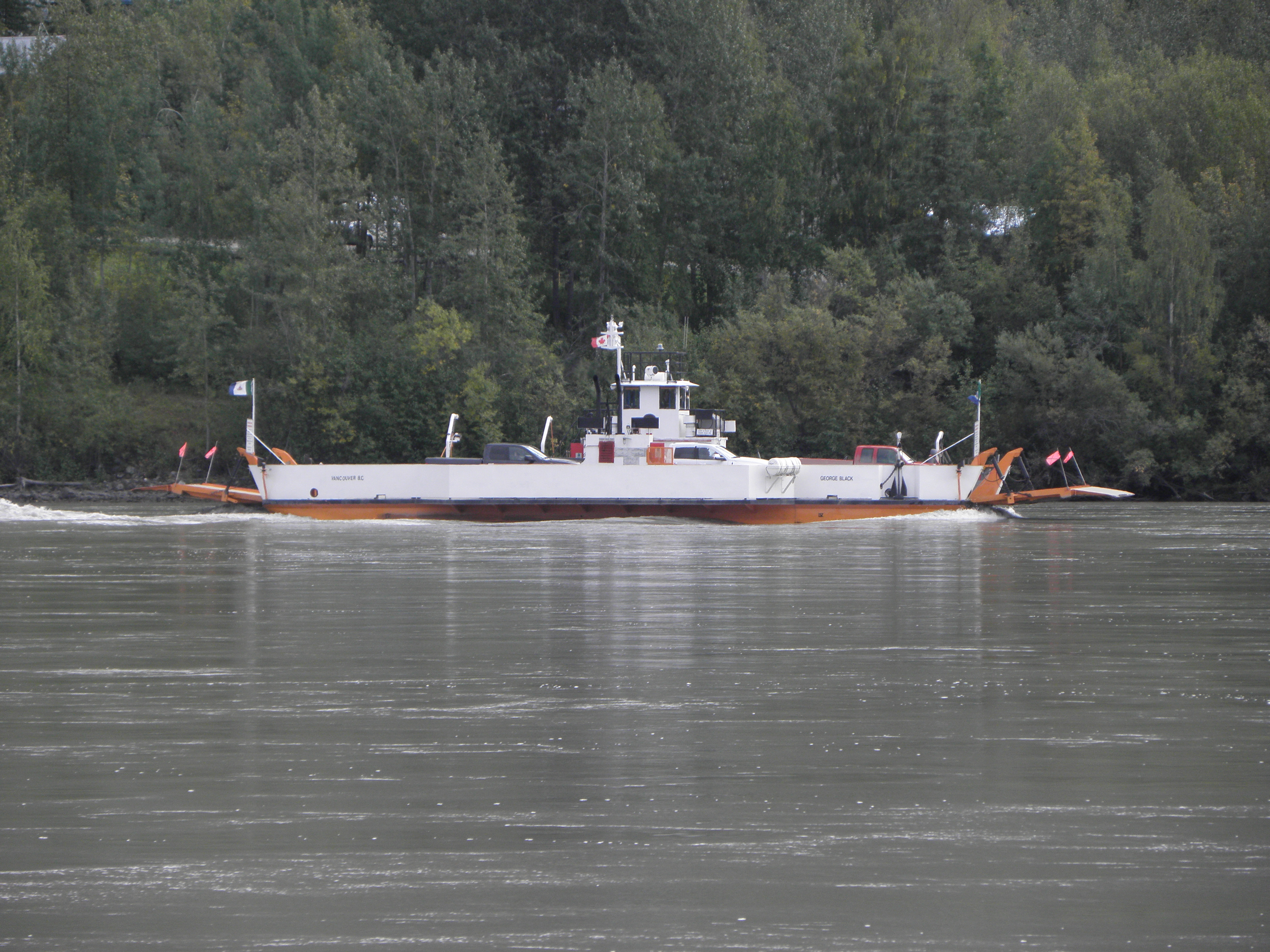 |
| The "George Black" ferry across the Mighty Yukon |
and went on my merry way. The SS Keno is one of two surviving Yukon stern-wheelers, the other being located about half a mile from here in Whitehorse. They ran between Dawson City and Whitehorse until 1955, when the road reached the former. The road south is relentlessly more-of-the-same trees and lakes for about 550 km. It rained a bit, I stopped to fill That Shitbox Dodge with motor-spirit and it rained some more. And there were some occasional views, and the odd bridge.
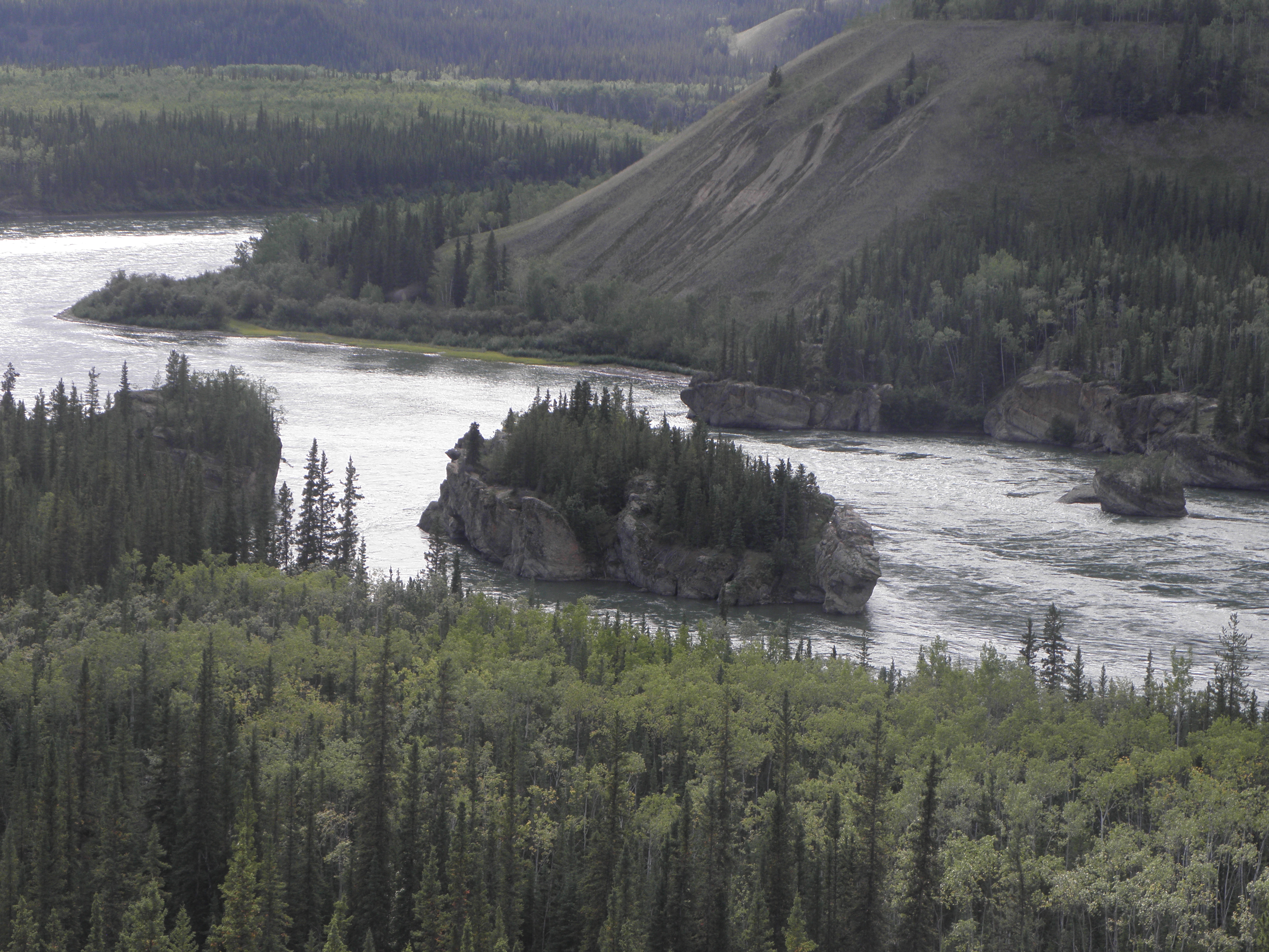 |
| Five Finger Rapids on the Mighty Yukon |
Additional: this place - the Elite Hotel - may have a slightly down-at-heel ambience but the room has a kettle. Moreover, it has a kettle that can bring a litre of water to the boil in about five minutes! I may have to steal it.
Saturday, 1 September 2018
Day 11: Tok AK - Chicken AK
Here, as promised, is a graphic demonstration of the wikness of the Cleft In The Rock B&B in Tok. And I'd like to see Blackberry Wood's Viviane Oblivion try to swallow that saw...
Breakfast was good too. Reindeer sausage. One piece left after everyone else had gone, but Colby the dog got it before I could, chiz. Lack of sausage notwithstanding, I delayed departure as long as possible because some kind of route-planning tomfoolery meant only 120 km today. There must have been a reason for this, but I cannot for the life of me remember what it was, as Anchorage to Chicken would have been no problem.
This gave me lots of time to faff about at the roadside taking pictures of inconsequential things, such as these mountains which didn't have SNO on them on the way up:
and the general scenery to be found on the Taylor Highway, which is to be found 12 miles back down the Alaska Highway towards Canada.
Chicken is 66 miles up the Taylor and unlike most of the rest of Alaska, has a dearth of tracks leading off into the trees, at the end of which you just know are to be found the abodes of Trump-voting gun nuts in camouflage. The Taylor is supposed to be paved all the way here, but contains plenty of so-called "gravel breaks" where they've taken the asphalt away because Damage. If it had been raining convincingly these would have replenished the diminishing stocks of Mudde on the flanks of That Shitbox Dodge, but it was mostly just cold and windy.
Passing time at the roadside, I learned that That Shitbox Dodge actually does have a spare wheel, albeit of the poxy spacesaver variety, and that to reach it you have to assemble some sort of Tool and loosen a nut hidden under the mat in one of the storage holes in the centre console, thereby allowing it to fall into the Mudde. This discovery means I will have fewer qualms about not tackling the mostly-gravel road from here to the border, where I will not cross back into Canada, fail to cross the Mighty Yukon on the ferry at Dawson City and not take the Klondike Highway down to Whitehorse, because that would be Naughty.
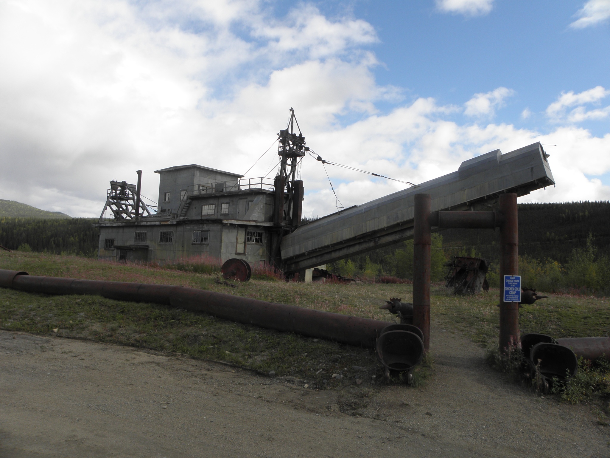
And so to Chicken, which hav a very interesting history if you are interested in hist. which few boys are. The story has it that the gold miners who were first on the scene wanted to call it "Ptarmigan" but they couldn't spell it. Today the place consists of a handful of places catering to the tourist trade (and a few remaining miners) and lots of post-industrial gubbins, such as the Pedro Dredge
This was originally sited not far from Fairbanks, but was then dismantled and lugged up here. At some point in its chequered past, a madman bought it for one dollar on condition that he moved it. Which he did - not on his own, obv - in one piece. It weighs over 450 tonnes.
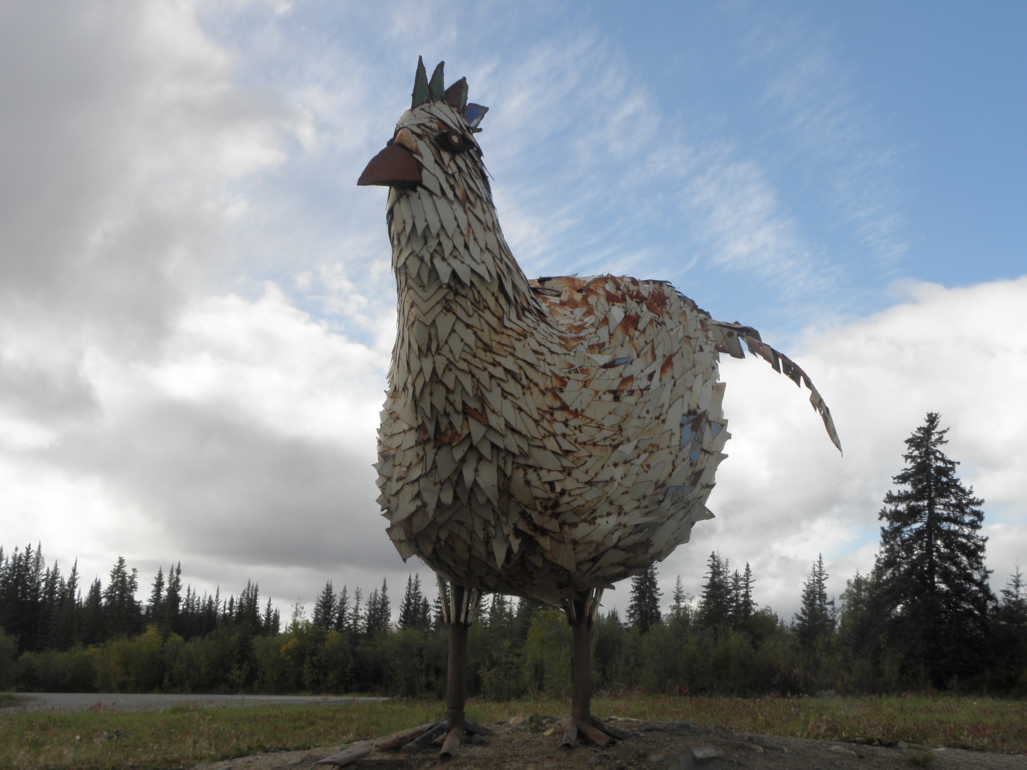
Everywhere else is infested with chicken-themed Stuffs, as you can probably imagine.
Do check out the photos on Flickr for more machinery and gallus gallus japery.
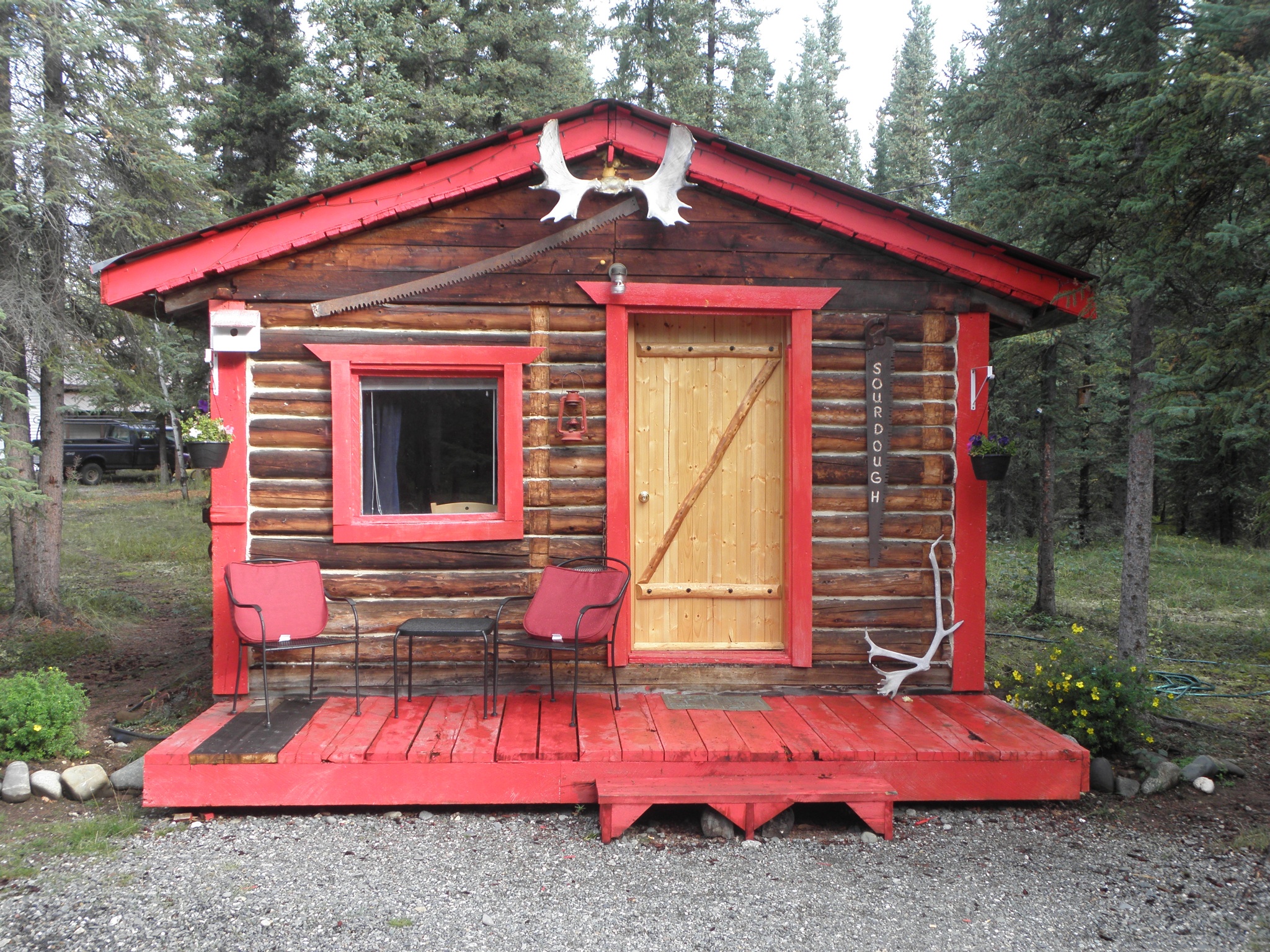 |
| Thursday night's abode |
This gave me lots of time to faff about at the roadside taking pictures of inconsequential things, such as these mountains which didn't have SNO on them on the way up:
and the general scenery to be found on the Taylor Highway, which is to be found 12 miles back down the Alaska Highway towards Canada.
Chicken is 66 miles up the Taylor and unlike most of the rest of Alaska, has a dearth of tracks leading off into the trees, at the end of which you just know are to be found the abodes of Trump-voting gun nuts in camouflage. The Taylor is supposed to be paved all the way here, but contains plenty of so-called "gravel breaks" where they've taken the asphalt away because Damage. If it had been raining convincingly these would have replenished the diminishing stocks of Mudde on the flanks of That Shitbox Dodge, but it was mostly just cold and windy.
Passing time at the roadside, I learned that That Shitbox Dodge actually does have a spare wheel, albeit of the poxy spacesaver variety, and that to reach it you have to assemble some sort of Tool and loosen a nut hidden under the mat in one of the storage holes in the centre console, thereby allowing it to fall into the Mudde. This discovery means I will have fewer qualms about not tackling the mostly-gravel road from here to the border, where I will not cross back into Canada, fail to cross the Mighty Yukon on the ferry at Dawson City and not take the Klondike Highway down to Whitehorse, because that would be Naughty.
And so to Chicken, which hav a very interesting history if you are interested in hist. which few boys are. The story has it that the gold miners who were first on the scene wanted to call it "Ptarmigan" but they couldn't spell it. Today the place consists of a handful of places catering to the tourist trade (and a few remaining miners) and lots of post-industrial gubbins, such as the Pedro Dredge
This was originally sited not far from Fairbanks, but was then dismantled and lugged up here. At some point in its chequered past, a madman bought it for one dollar on condition that he moved it. Which he did - not on his own, obv - in one piece. It weighs over 450 tonnes.
Everywhere else is infested with chicken-themed Stuffs, as you can probably imagine.
Do check out the photos on Flickr for more machinery and gallus gallus japery.
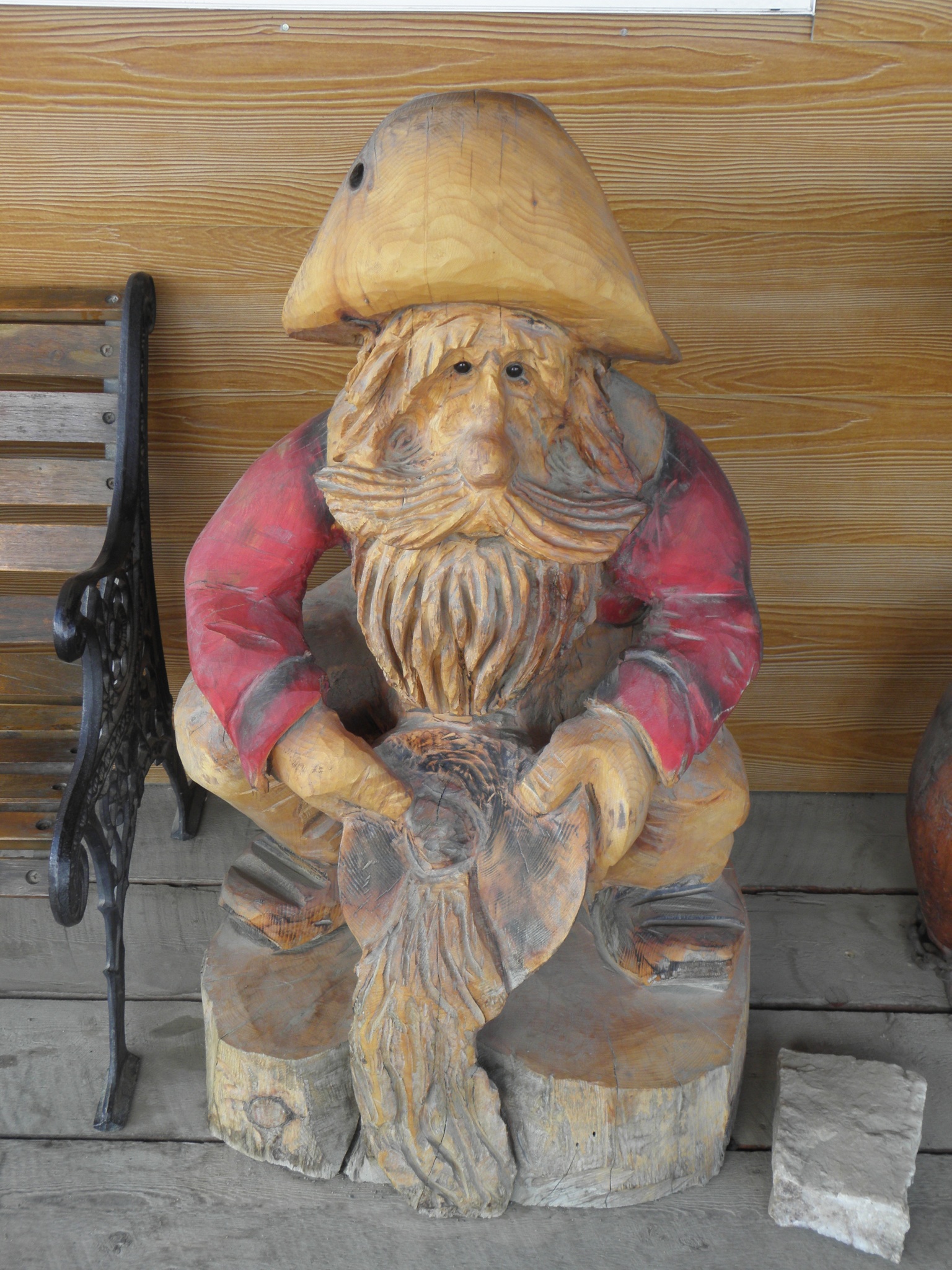 |
| Only non-chicken-themed statue or sculpture in the whole of Chicken |
Subscribe to:
Posts (Atom)
