Today's mission was two-fold:
- Enter USAnia and stay there, as opposed to a brief sojourn followed by a one-way ticket to Guantanamo Bay.
- See the Columbia River gorge, as opposed to a thick cloud of smoke where it is alleged to be.
Emily picks what looks like a slightly convoluted route, but she assures me it's the quickest. It involves climbing over lots of hills which the Columbia River prefers to skirt; hills which often make southern New Mexico look like a National Park.
Across the Mighty Columbia for the first time just downstream of Chief Joseph Dam. There are pelicans:
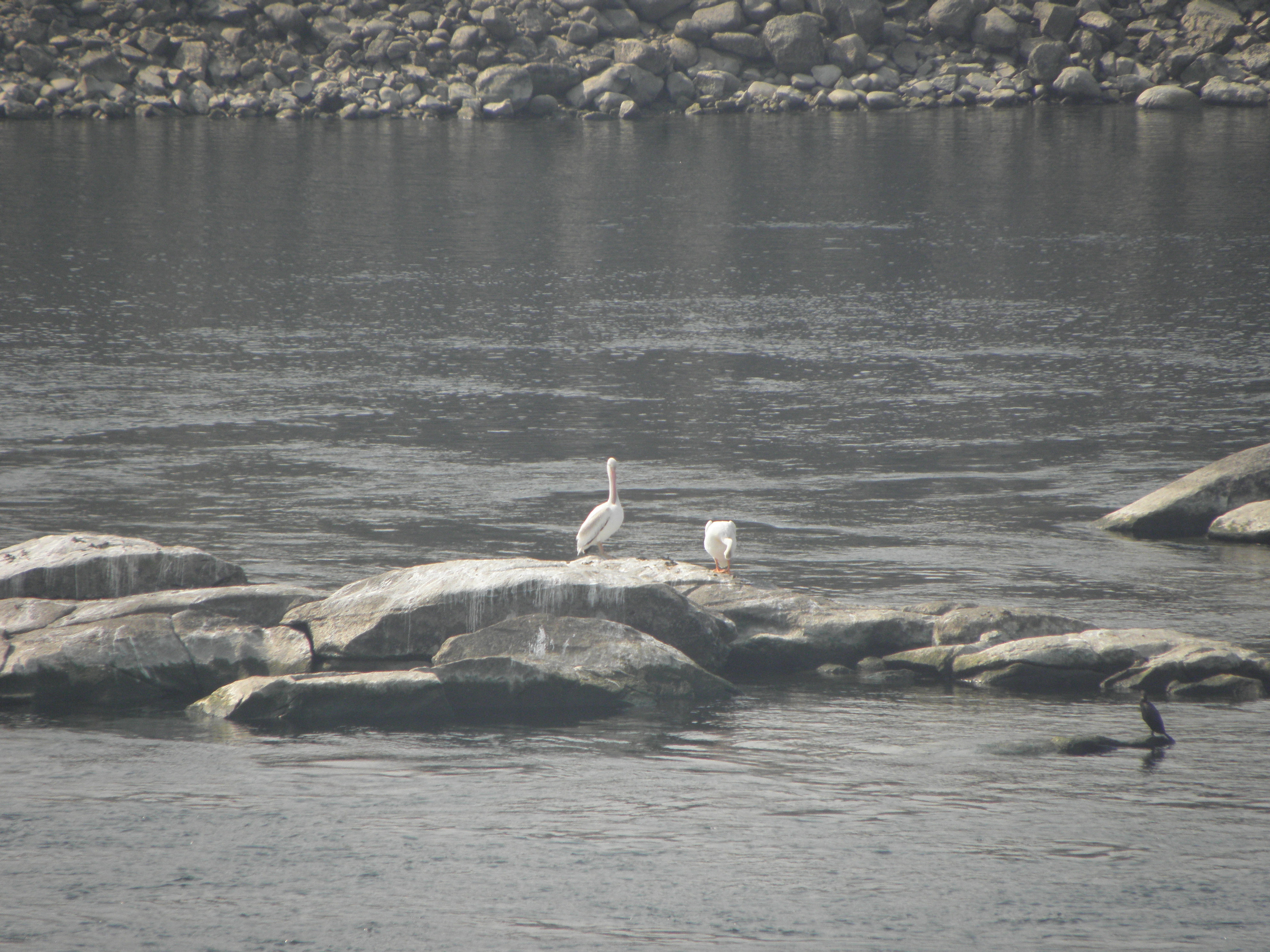 |
| Click to embiggen, or use your trusty Junior Pocket Microscope (Model 3a) |
Then you hit I-90. This being the first even remotely freeway-ish road I've been on since leaving Fairbanks, it's a bit disconcerting at first. Especially because the great tool who designed That Shitbox Dodge's dashboard did the MPH markings in dark red digits. Tiny dark red digits. On a black background. I have to rely on Emily to translate the speed limits. I-90 gives way to I-82 over more hills and the Columbia River a second time, on one of these;
That pic is from 2015 but the bridge is still the same. At the same time, I discover that on one of my photographic walkabouts, I have imported about twenty goathead thorns into the driver's footwell. These are discovered, one at a time, when they stick into my bare feet, causing Bad Swears until they can be thrown out of the window.
While yesterday was the first day of the trip on which I was neither smoked nor rained on, today was similar only better. There was a bit of smoke around the Chief Joseph Dam but that was soon left behind. And it was 15C first thing, topping out at 33 this afternoon. Hurrah! Which meant stopping for a fag in the depths of Horse Heaven was uncomfortably warm. Bah! The descent from Horse Heaven brings one to cross the Mighty Columbia for the third time and...
...it was free from smoke and every bit as impressive nestling in its gorge as the Tourist Information Offices make out. It's a bit like the Rhine in the Koblenz/Bingen area but with more pickups and fewer barges1.
Because I went down the Oregon side this time, which means I-84, stopping places are limited, but some notion may be gained from the pictures of lovely bridgey goodness snapped on the way.
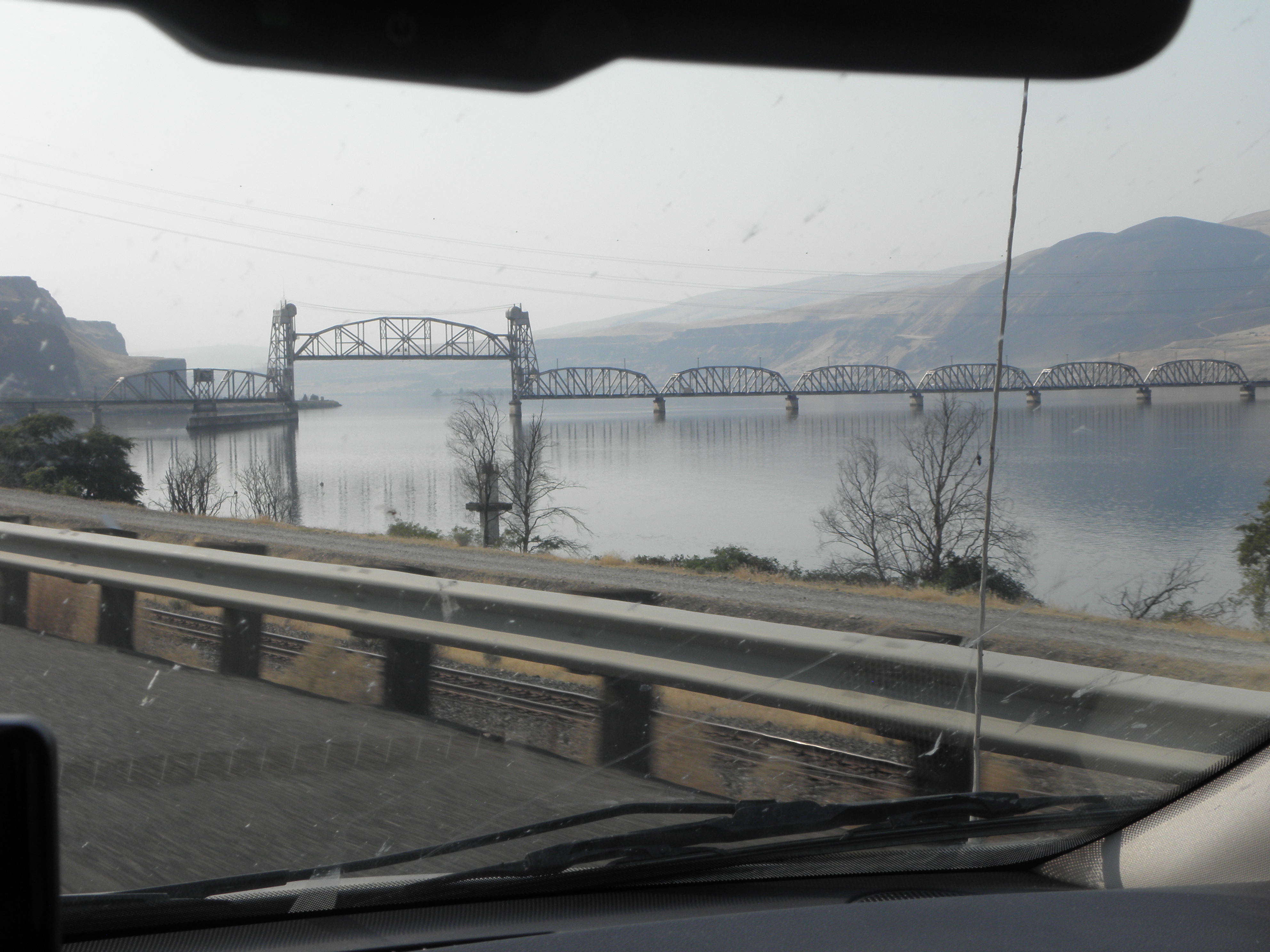 |
| Groovy lifting rail bridge just upstream from The Dalles |
1: Barge count: 0, though I'm told they do exist
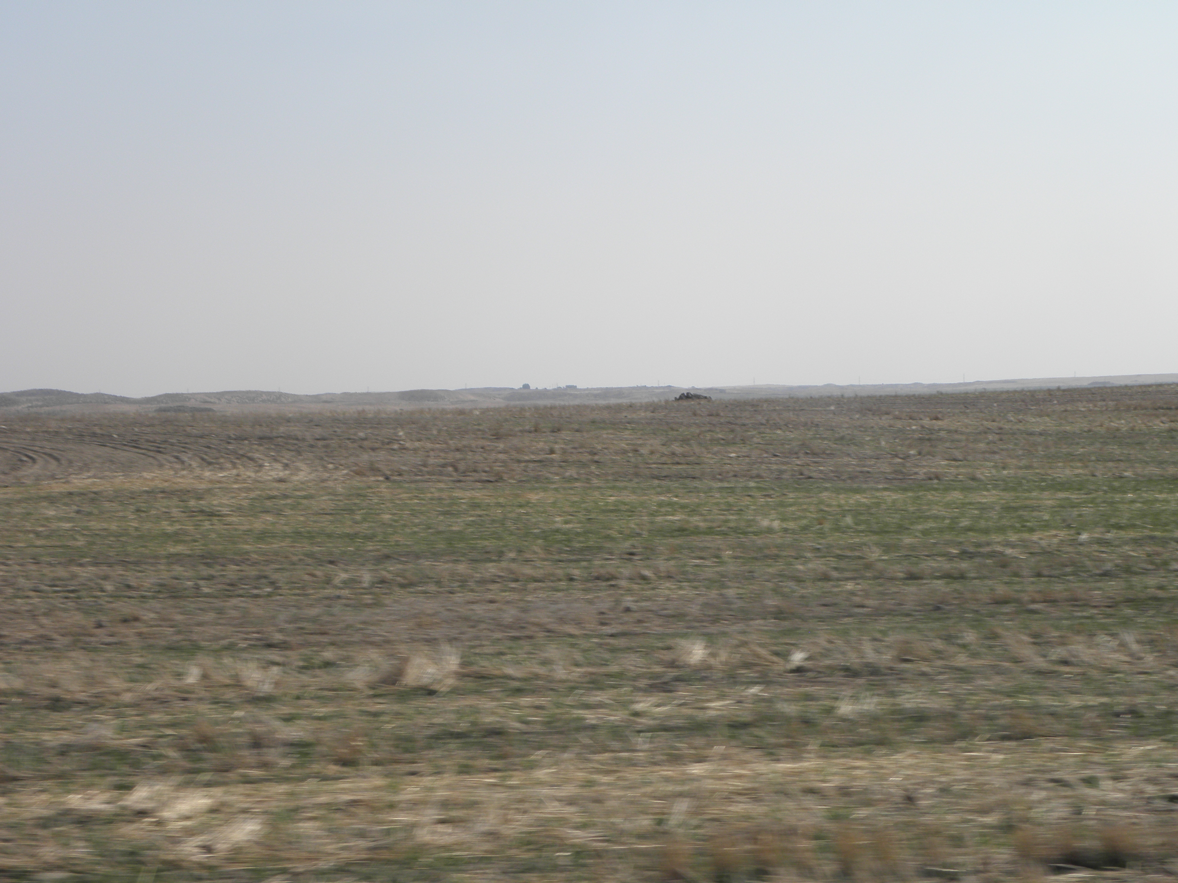
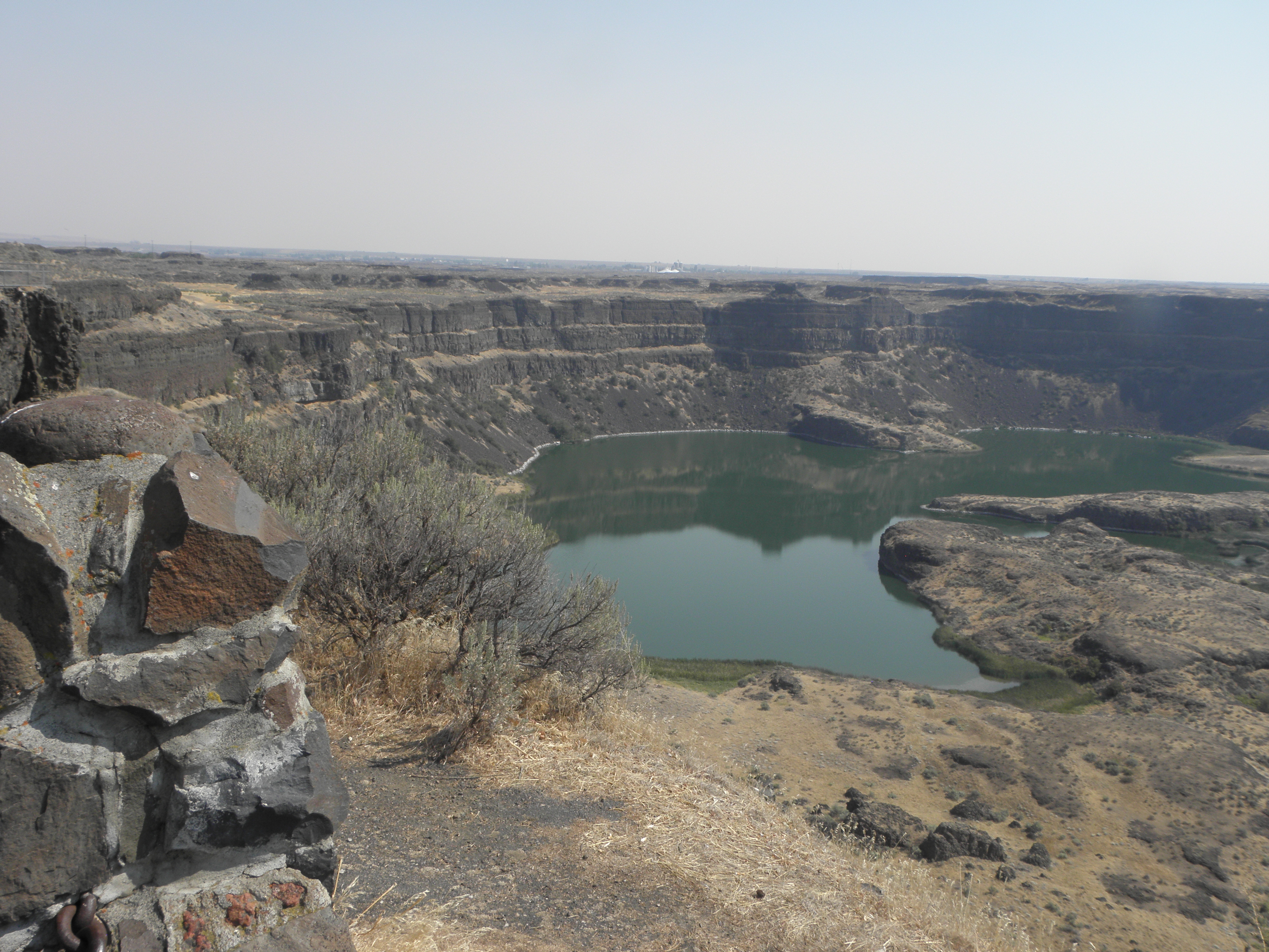
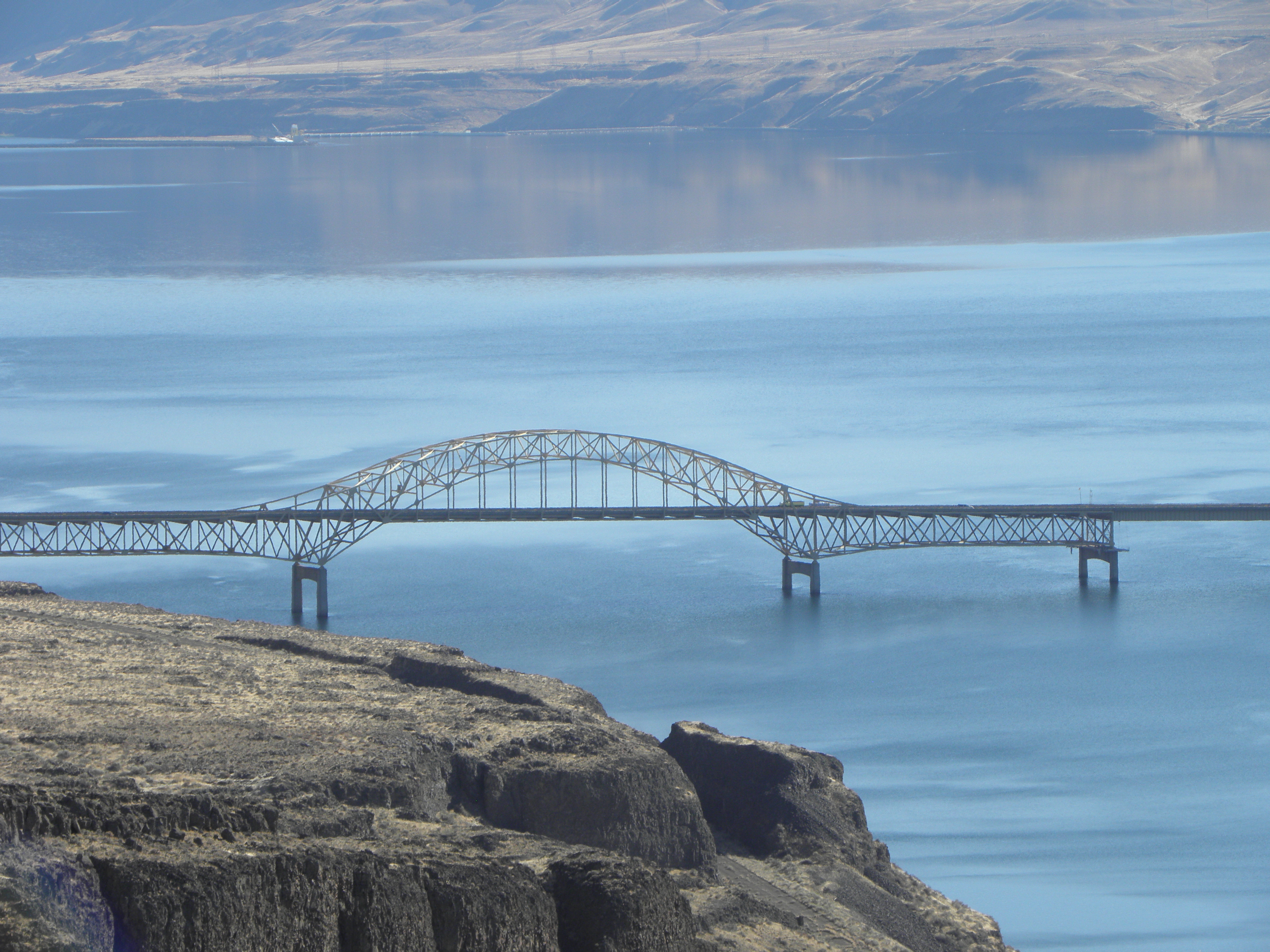


Thanks to you and Jun for posting photos of bridges that I've been involved with during my career -- in this post, the I-90 camel-back arch-truss.
ReplyDelete