 |
| "Got any bread?" |
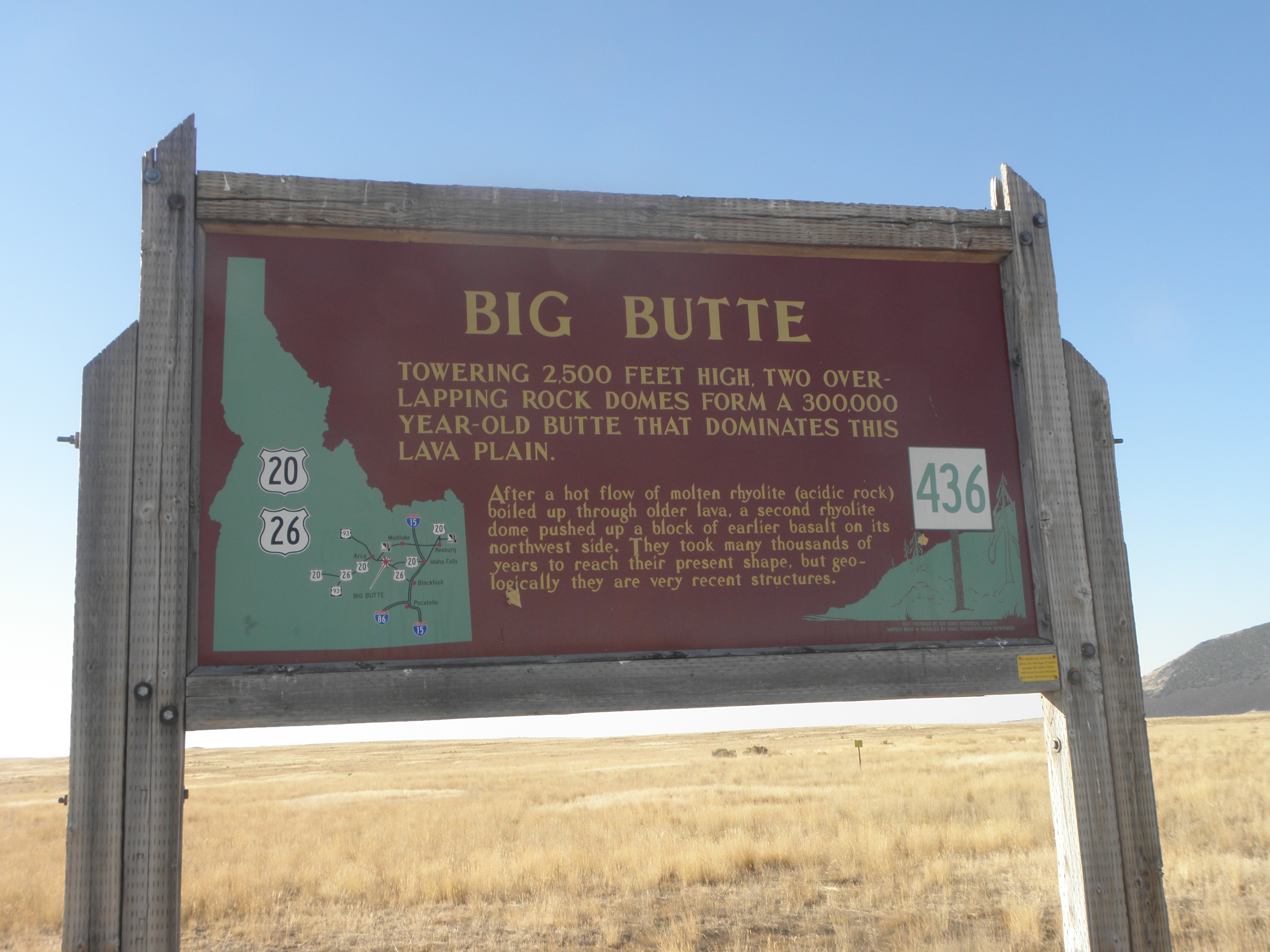
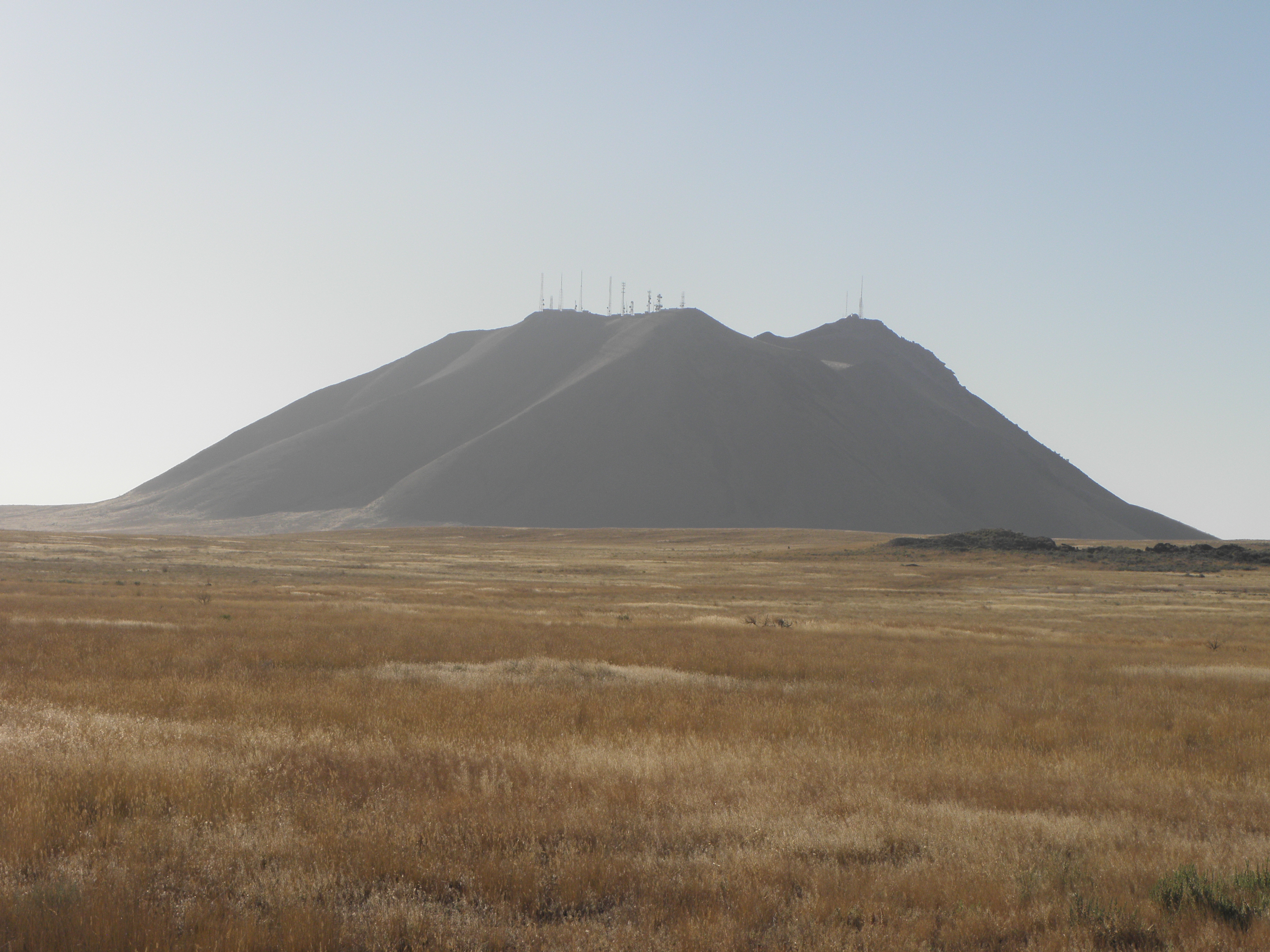
It is a measure of how acclimatised I am to the language of USAnia that I didn't laugh at this. At first. It is unclear from the sign which of the three nearby buttes is Big Butte, fnarr fnarr, but it's probably this one:
Not far up the road - US-20 - is the Idaho National Laboratory, home of civilian Nuclear Stuffs; if it was military it'd be in the big bit of Nevada with no roads and dudes with lots of guns. I'll still probably end up in Gitmo if I post this photo:
And now you've seen it, so will you. Eventually US-20 morphs into US-93, which has come up from Twin Falls and, before that, Nevada and Arizona, and heads north up an extension of the Snake River Plain thinly disguised as a valley. In Mackay there was a
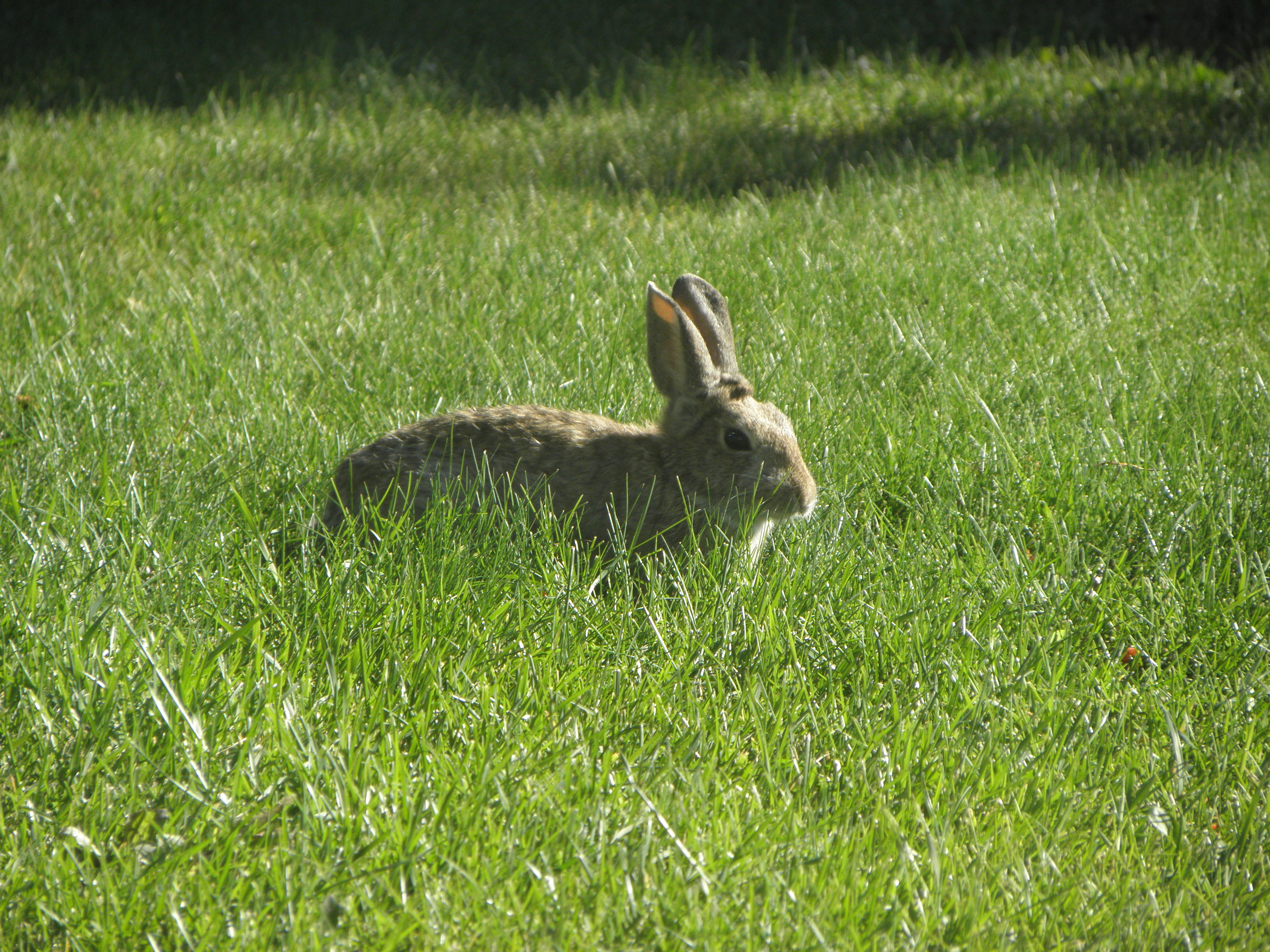
Normal size, unlike the Giant Bunrabs of Calgary chiz. The geography of Idaho is a bit confusing, because all the rivers ultimately end up in the Snake River, and thus the Columbia and ultimately the Pacific, but because:
- the Snake makes a gert big loop around southern Idaho, and
- the large mountains stopping the rivers from flowing in a logical direction
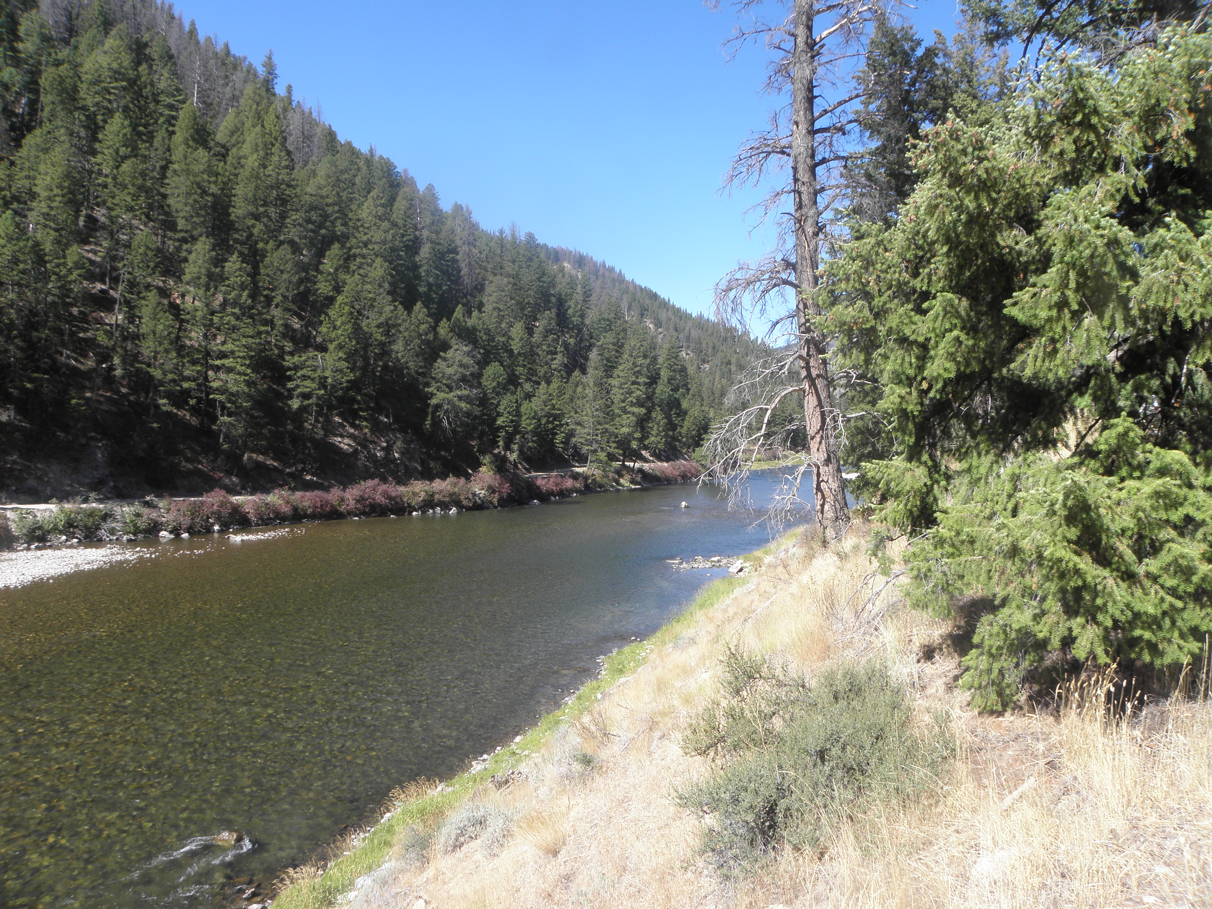
it's easy to believe there are, for example, two completely different Salmon Rivers. Which there aren't. I turned west up the valley of the Salmon River v1.0 near Challis. It is this: stunning.
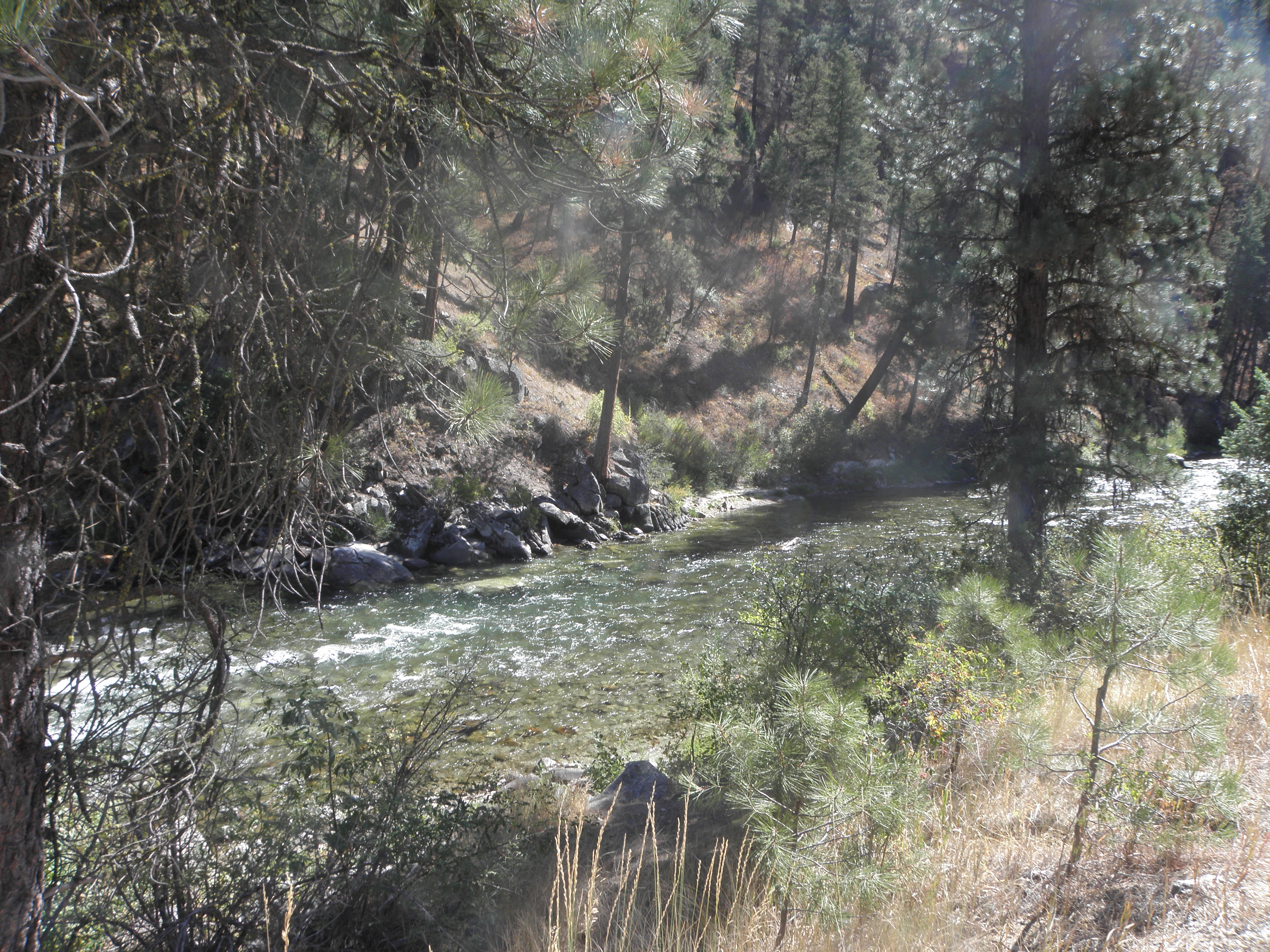
At Stanley, the valley flattens out into a mini-plain and ID-21 takes off up a side valley, over the top and down into that of the Payette River's south fork. Which is just as stunning, only downhill. Subsequent consultation of the memory-branes reveals that I'd driven over this bit before, probably in 2005, but on that occasion I didn't turn off at Lowman to follow the river down the Wildlife Canyon Scenic Byway to Banks and its confluence with the North Fork.
Also at Banks is ID-55, which heads straight northwards and is busy with berks who are incapable of keeping to a constant speed. Doesn't every motor-car in this country have cruise control? At McCall, where I spent a night in 2015, Emily sends me down a back road to avoid the busy town centre, but it makes little odds as they're still resurfacing the road to the east of town. Single lane traffic. Bah!
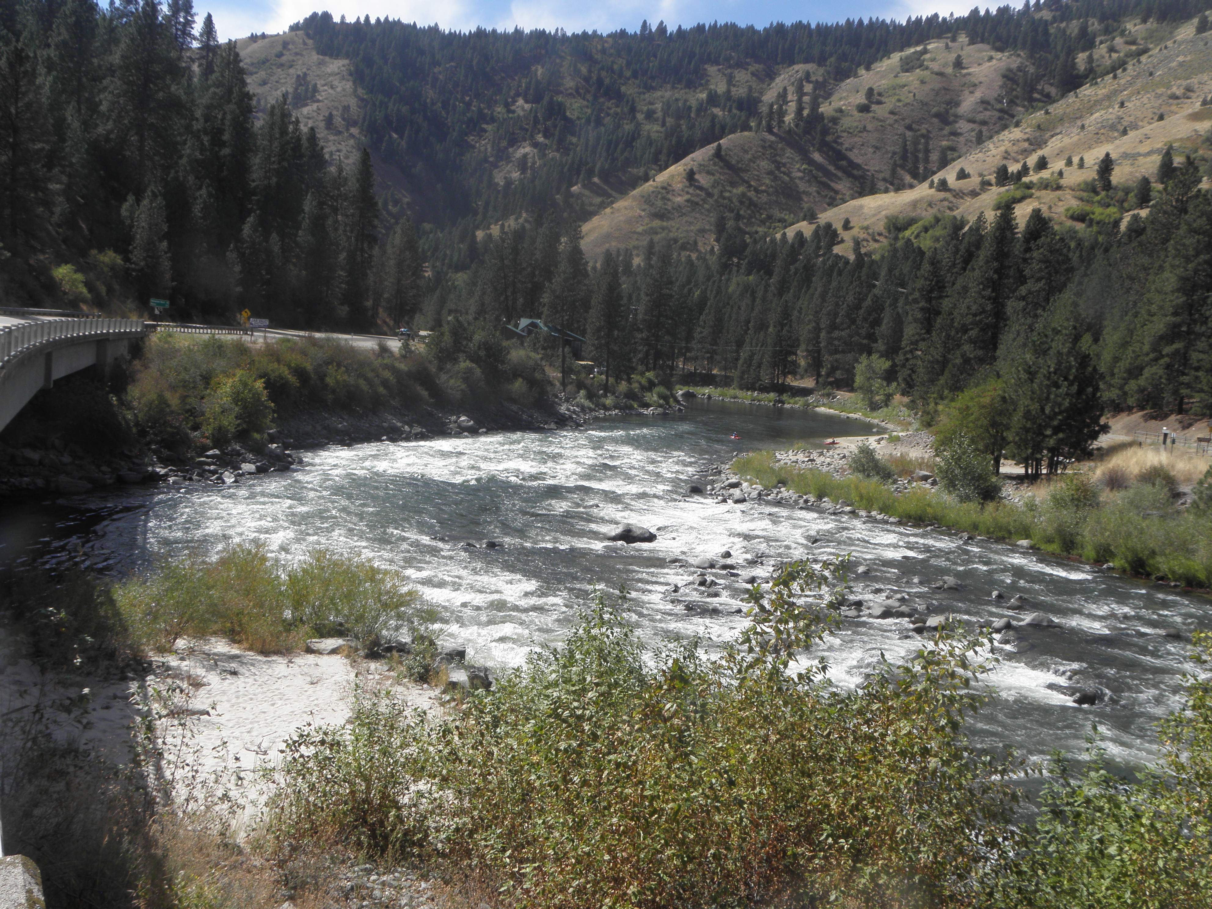 |
| Confluence of the various bits of the Payette River, Banks ID |
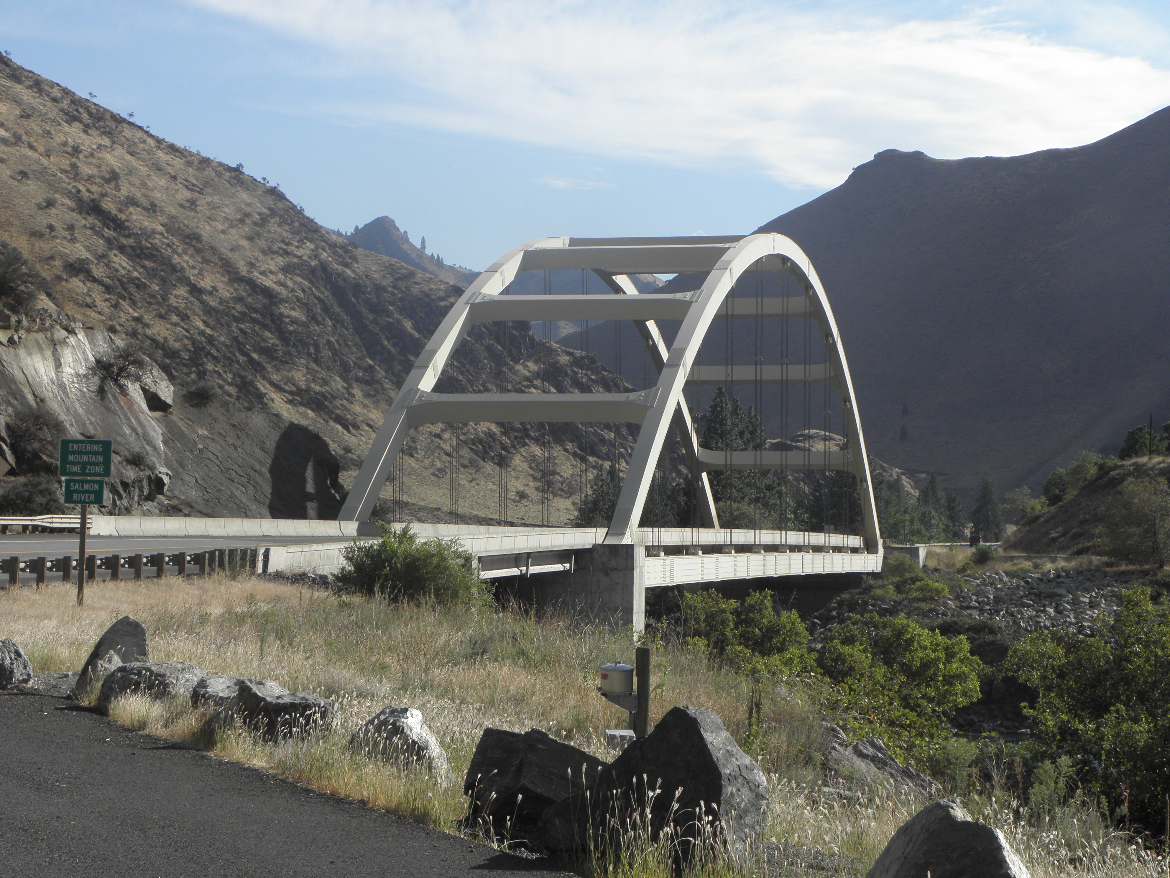
For no fathomable reason, northern Idaho is in the Pacific time zone, while the rest of it is in the Mountain one. So I gained an hour here:
 |
| Salmon River v2.0 |
The motel in Grangeville has declined to accept both my credit and debit cards. Since the former happily purchased sixty dollars-worth of motor-spirit this morning I am not unduly bothered, but if it doesn't do for a similar purchase tomorrow morning, Horsey Bank plc will be on the receiving end of Harsh Words. I have $64 in crispy banknotes left and don't want to have to get any more out of a machine at ruinous expense.


A
ReplyDeletefor 'orses?
DeleteFiguring out how to make comments (again)...and this is more for you, Dave, than anyone else. I don't know who Crinkly Lion is for whom you post the bridge photos, but as a bridge engineer, I'm appreciative. If you choose to edit or not approve publishing, I'm okay with that.
ReplyDeleteThat's the Goff Bridge, , aka the "Time Zone Bridge," completed in 1999. I saw a cool presentation about it many years ago (pre-internet). There's a "slow" landslide at the south end of the bridge that governed the design of that abutment. The tied-arch bridge replaced a narrow, 62-year-old bridge that they slid 65' transversely (sideways) to serve as a detour road during construction of the new bridge. There was a 550-mile detour (through Oregon and WA to do a trip between Lewiston and Boise). The Contractor was allowed 72 hours of road closure with a penalty of $625 per 15 minutes if exceeded. I don't think there were cost incentives for early re-opening, but the highway was closed for only 36 hours.