Tuesday, 5 September 2017

Day 7: Kalispell MT - Clarkston WA

As you are reading this it can be assumed that I have not been killed utterly to DETH in a nasty fiery burny kind of way.  Well, not today anyway.  However, the pall of smoke hanging over much of western USAnia was present and correct for pretty much the entire day, albeit at varying densities.  This rather spoiled what should have been a pleasantly restful-to-the-eyes day, consisting as it did mostly of trees.  My recollection of US-93 south of Kalispell was of a horrid ribbon development interspersed with traffic lights.  I am probably misremembering.

(Checks archives)

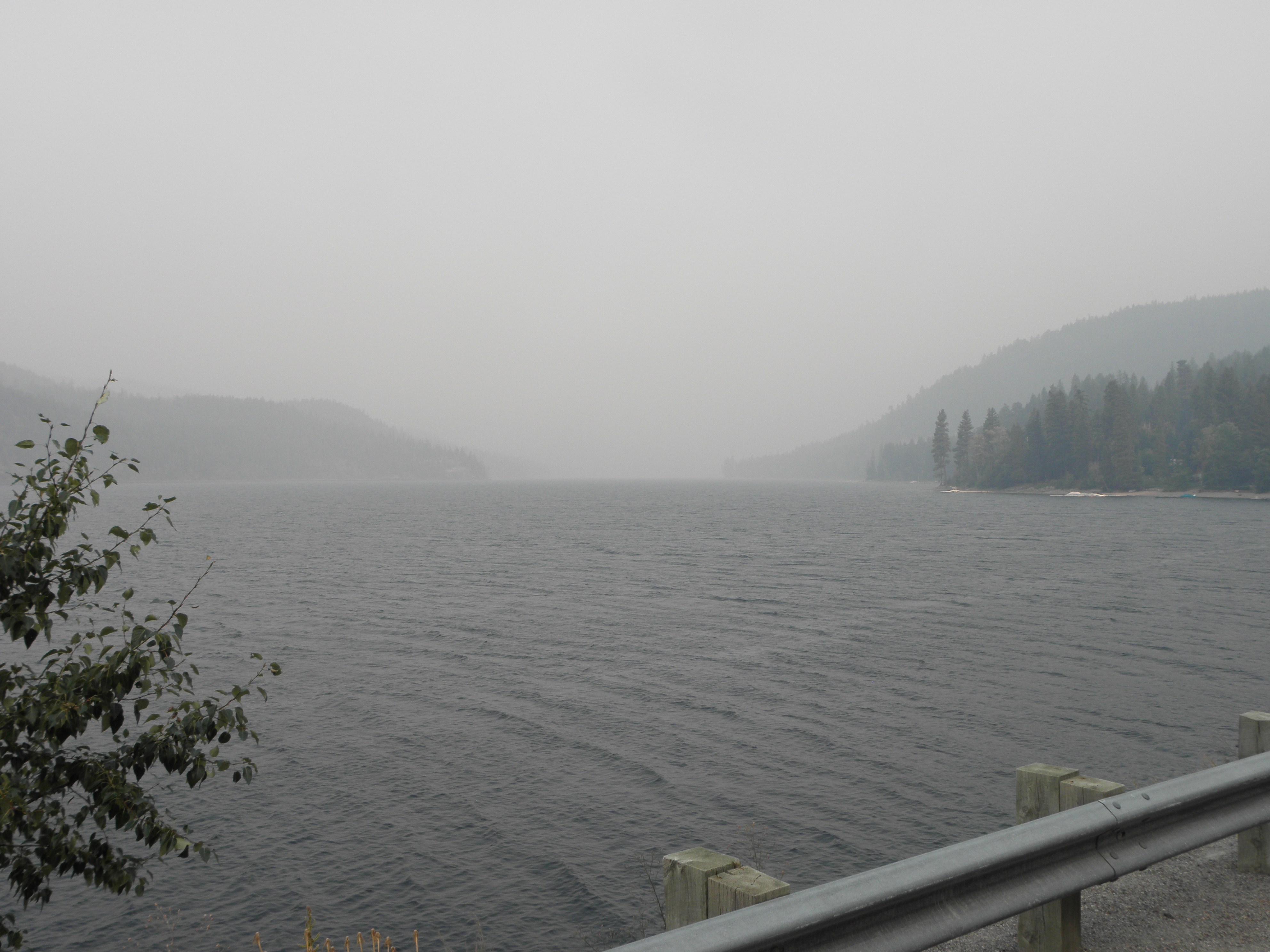
Yes.  Yes, I am.  That was the bit south of Missoula, not north of it.  Oh well, too late now.  In any case, the route down the east side of the Flathead Valley was mostly empty and contains three villages in ninety miles and lots of trees, oh yes.  And a 35 mph speed limit either side of Seeley Lake because of the thickness of the smoke.  Try to imagine this on a nice sunny day:
Flathead Lake, with added smoke
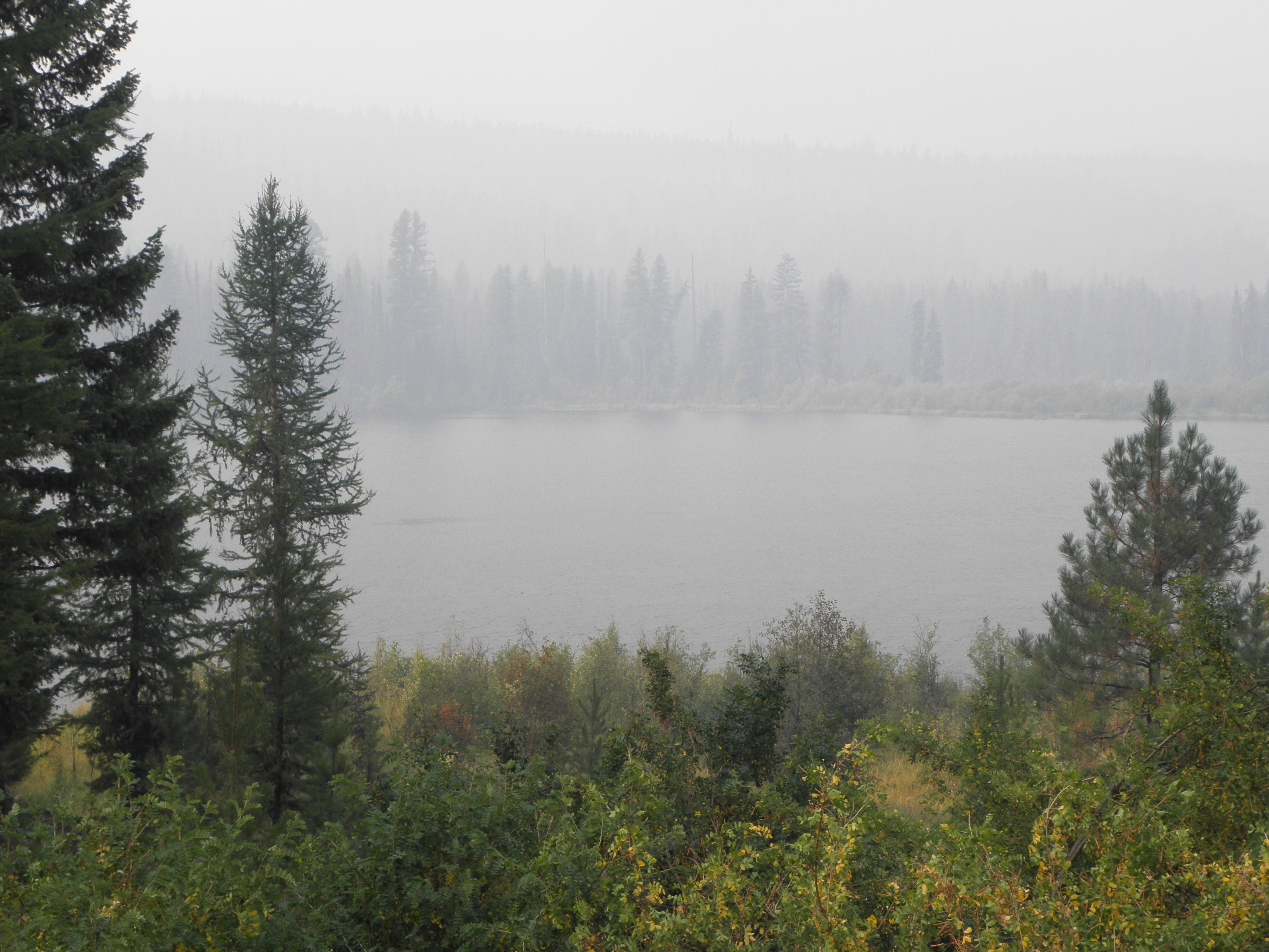
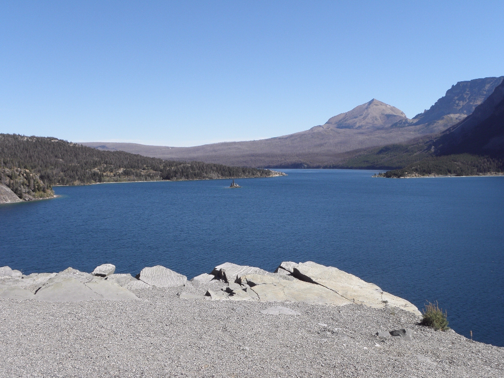
Or, indeed, this:
Summit Lake
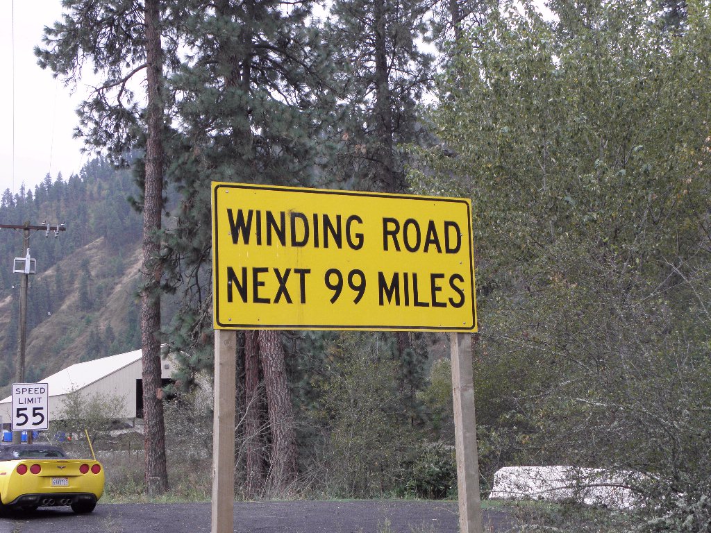
Through Missoula, down a short stretch of US-93 which was exactly as I remembered it, then turn right onto US-12, pausing only to set all the buttons, switches and levers in the cockpit to "Hooligan" mode.  For this is Lolo Pass and the valley of the Lochsa River, which has a sign at each end reading thus:
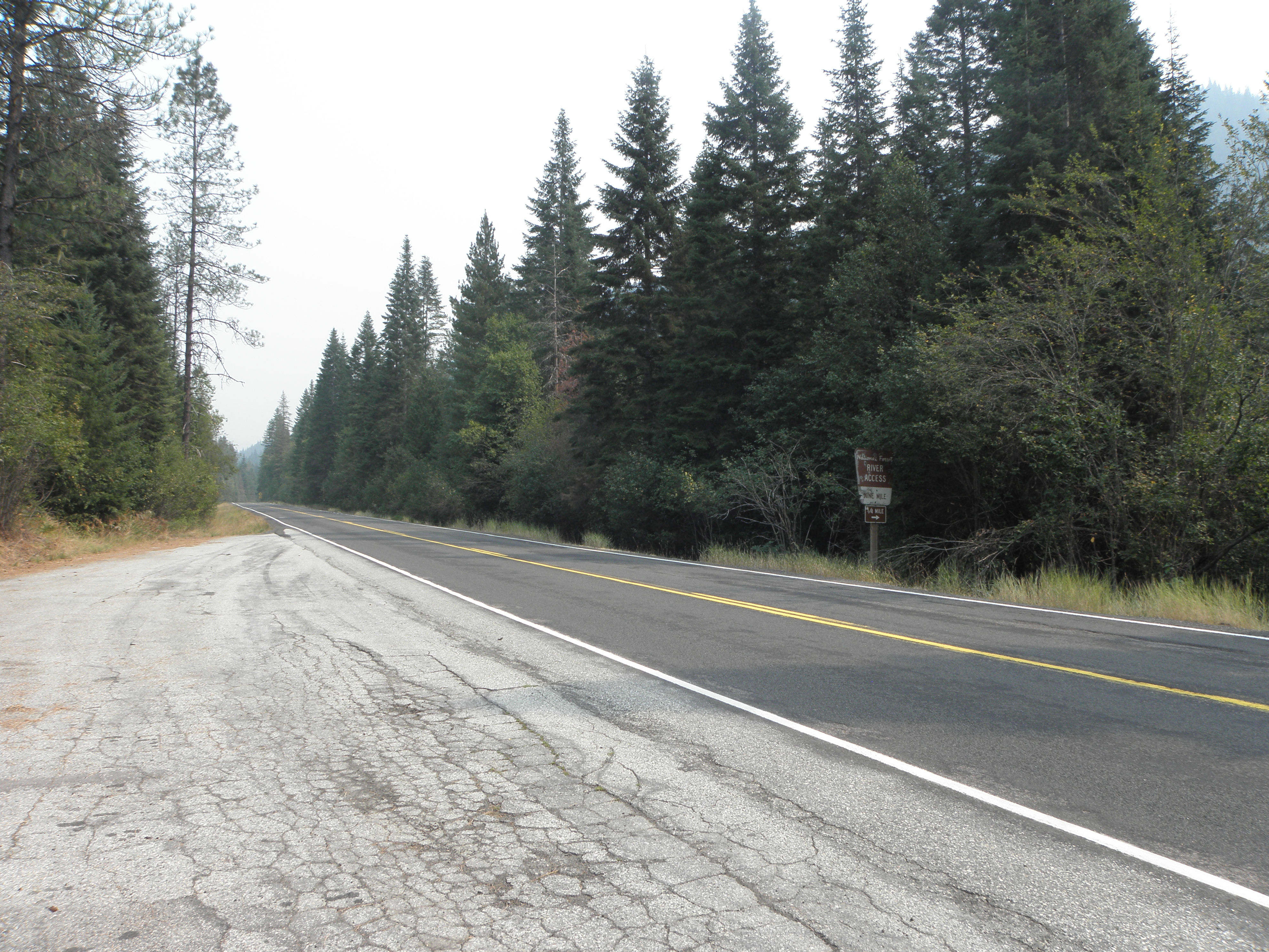
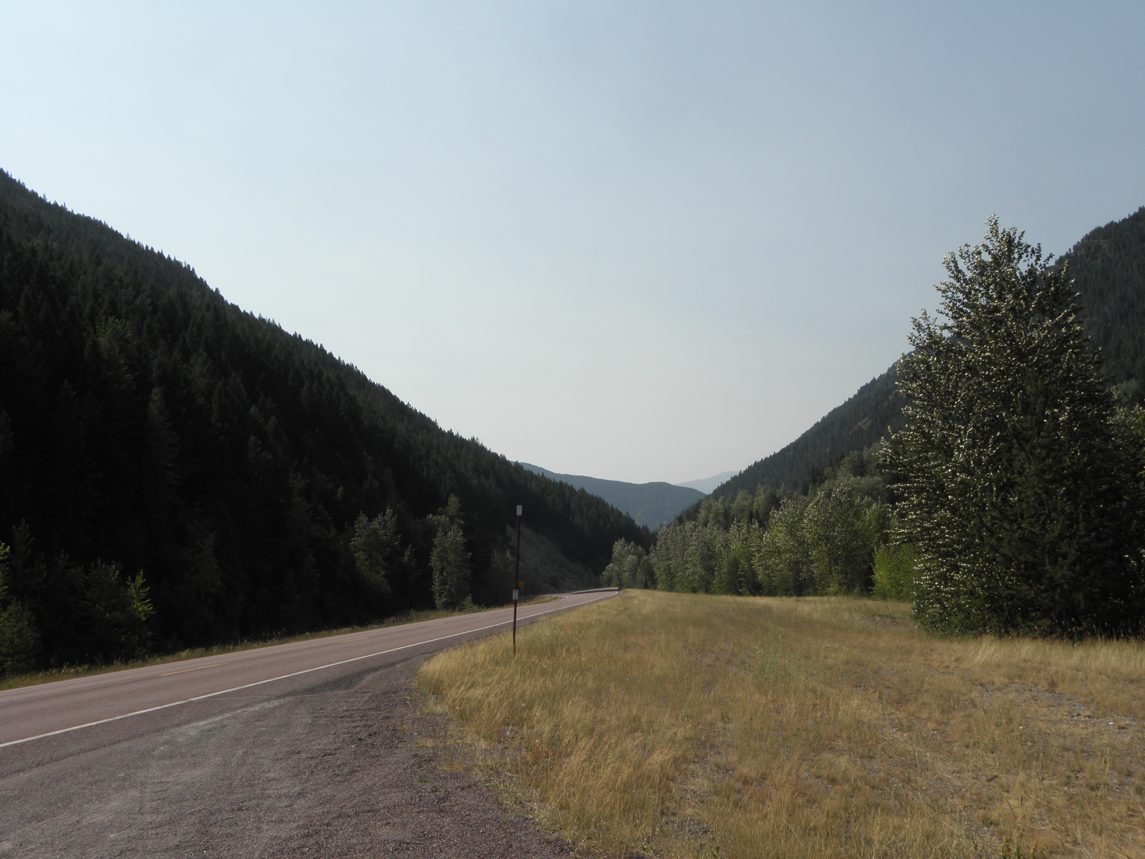
That was 2010, when it was raining.  In 2009 they were digging it up.  In 2017 they were doing neither, although the unsporting Idaho side has a 50 mph speed limit.  Fortunately Mr State Policeman was parked on the far side of a corner so he merely gave an admonitory flash of his blinkenlights rather than chasing me down the road and throwing me into gaol.  On the rare occasions when the sun managed to break through the smoke a bit it looked like this:
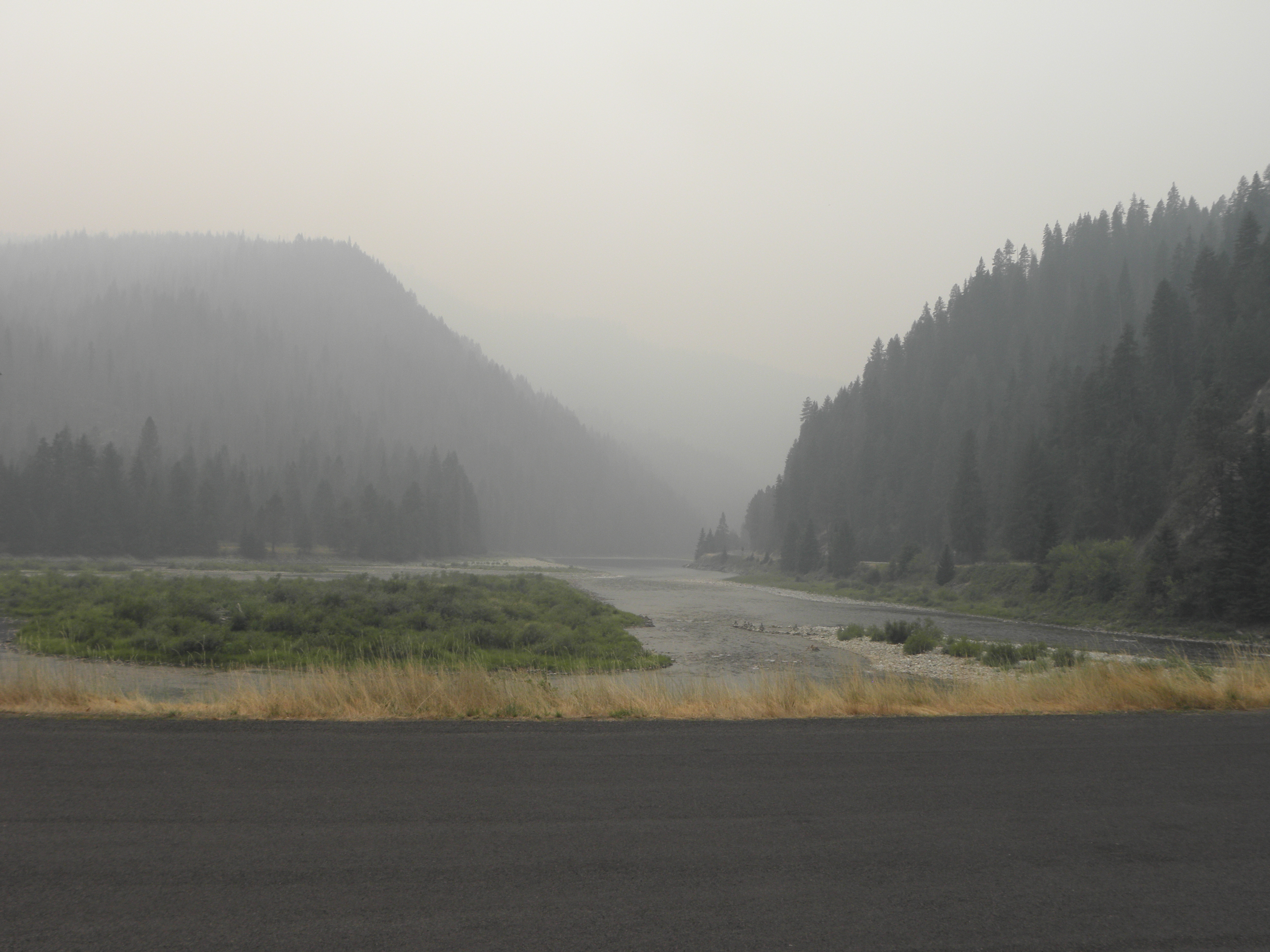
South of Kooskia is a bit I've not been on before; the river valley is a good deal wider and has a bit more traffic on it but nothing to raise the blood pressure.  I was in danger of being early arriving here because of the hour gained by crossing into the Pacific time zone at the top of Lolo Pass, so took some pictures of bridges to pass the time.
Not a bridge, but rather the meeting to the Lochsa and Selway rivers, forming the Middle Fork of the Clearwater River
In the west of USAnia they ran out of names for rivers fairly early on, so you can have absurdities like the North Fork of the South Platte river cheek by jowl with the South Fork of the North Platte.  And so on.
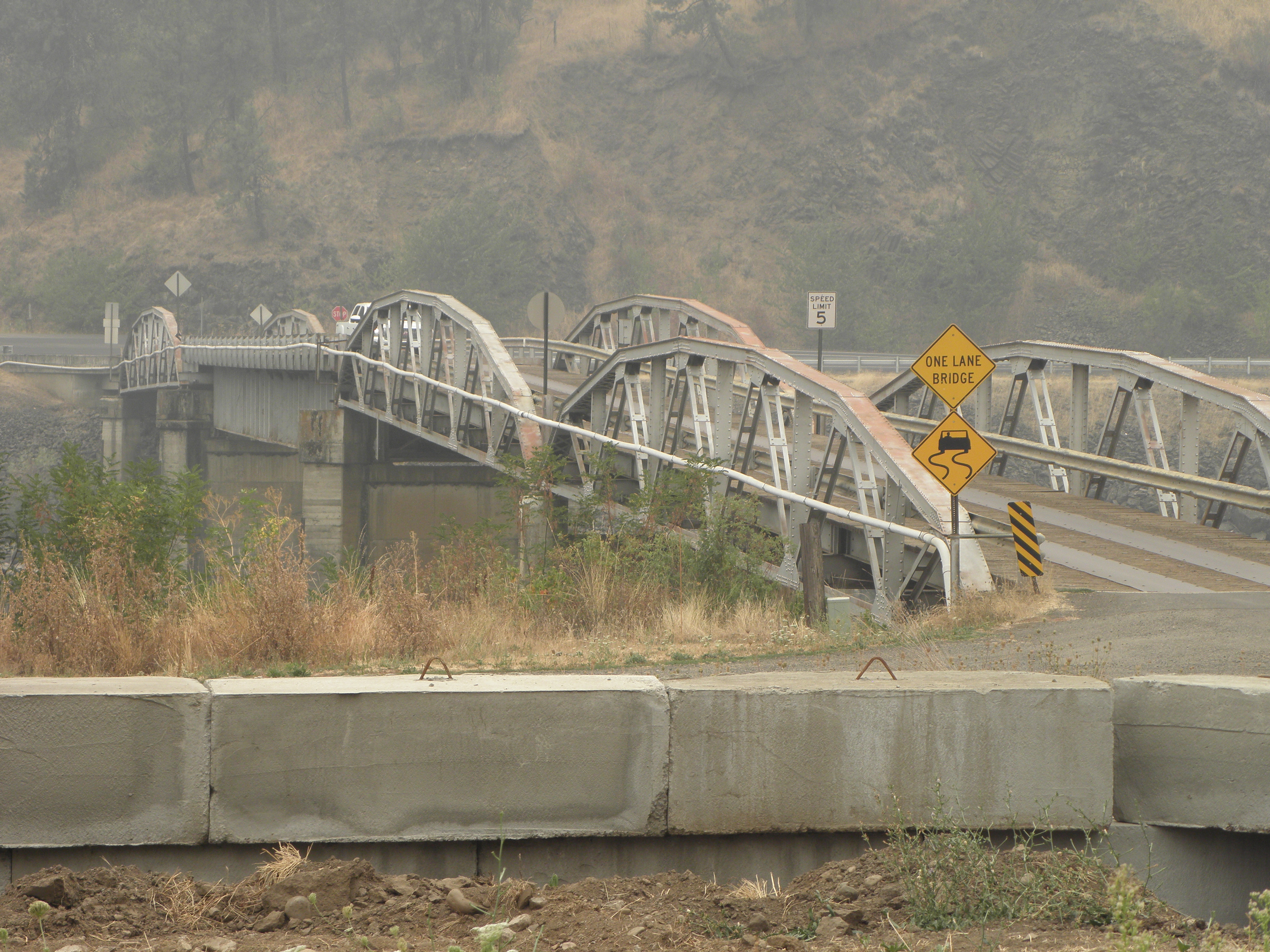
Bridge of the Day: leads to the Post Office at Lenore ID.  US-12 on the opposite bank.
It will probably come as no surprise to learn that on the other side of the Snake River from Clarkston is... wait for it... Lewiston.  In these parts it is impossible to escape Lewis and Clark for long, and they ranged a good deal further afield than military twerp George Armstrong Custer who, inexplicably, also has towns and things named after him.  Even though he lost.

I came through these parts two years ago when it was gloriously sunny and the view from the top of the valley was quite spectacular.  Today you can't see the top of the valley sides.  And I have an horrible feeling that fings are not going to get much better.  I chatted with a Nice Lady in the car park shortly after arriving.  She'd driven up the Columbia River gorge from Portland today.  The word "beautiful" was mentioned a Several of times, but then so were "smoke", "flames", "road closure" and "evacuation of whole towns".  "I've never seen it this bad" she opined.  Guess where I'm going tomorrow?

Monday, 4 September 2017

Day 6: Billings MT - Kalispell MT

Time to Defile the Wilderness with Rock'n'Roll!  "Where are you going today?" asks the Nice Man on reception.  "Why, to Glacier National Park" I reply, "to Defile it with Rock'n'Roll, as is my wont!"

"Ah," quoth he, "I have just seen on that The Internets, that they have now, that Glacier National Park is being evacuated because big burny fiery DETH!"


Oh.  Bugger.  Still, 'tis a fair way away from Billings so perhaps they will have changed their collective mind by the time I get there.  Last time I went to Glacier, I arrived in nearby Whitefish the very day they closed the through road in the park for the winter, so I am anxious to put this omission right.


The run up to the park's east entrance is neither exciting nor short.  It is, in fact, about 360 of the BRITONS' miles.  And it's more of the same Stuffs we've had since crossing the Mighty Missouri in South Dakota.  And it is forty old-skool Fahrenheits colder than yesterday, and only manages to lower the difference by ten over the course of those miles.  Scenic highlights:

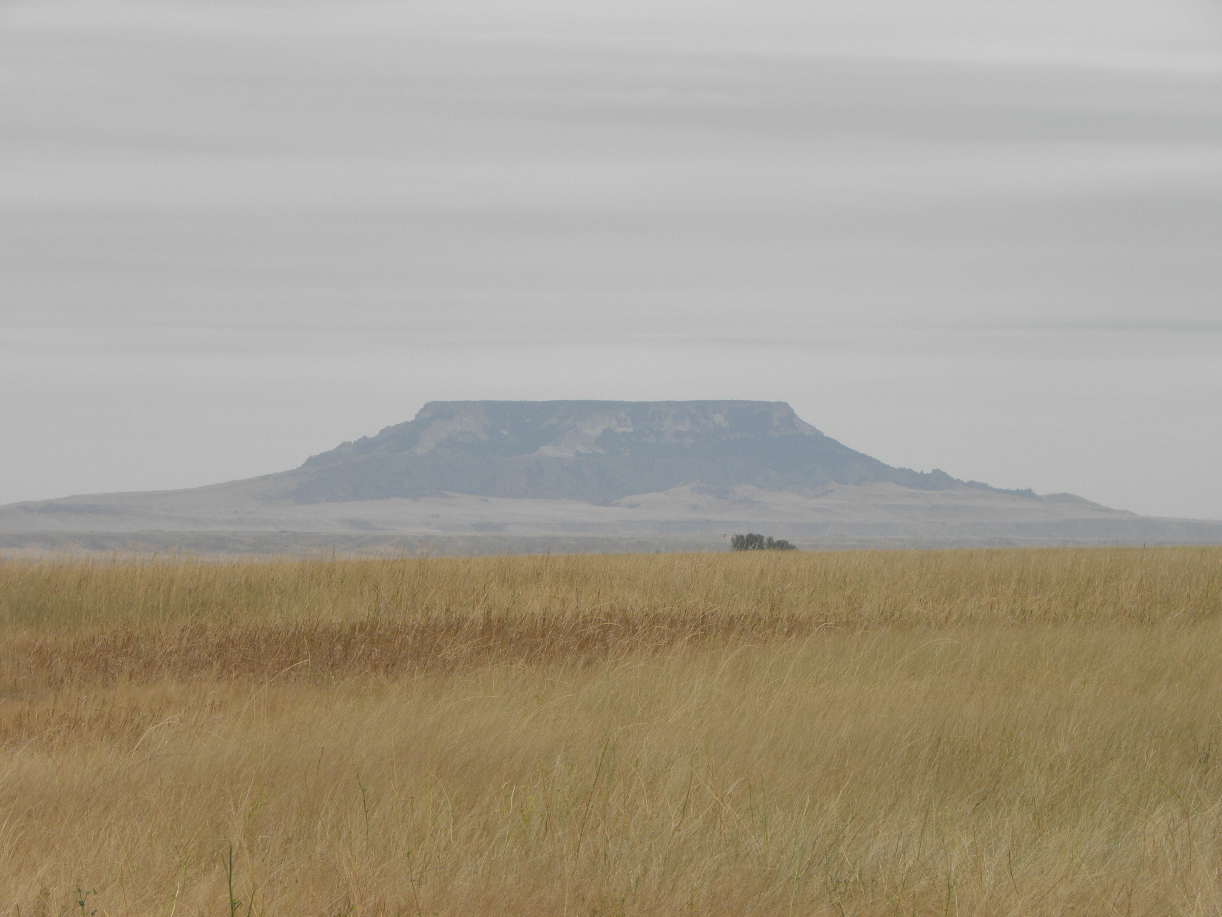
This could be a mesa, but is more likely a butte fnarr fnarr
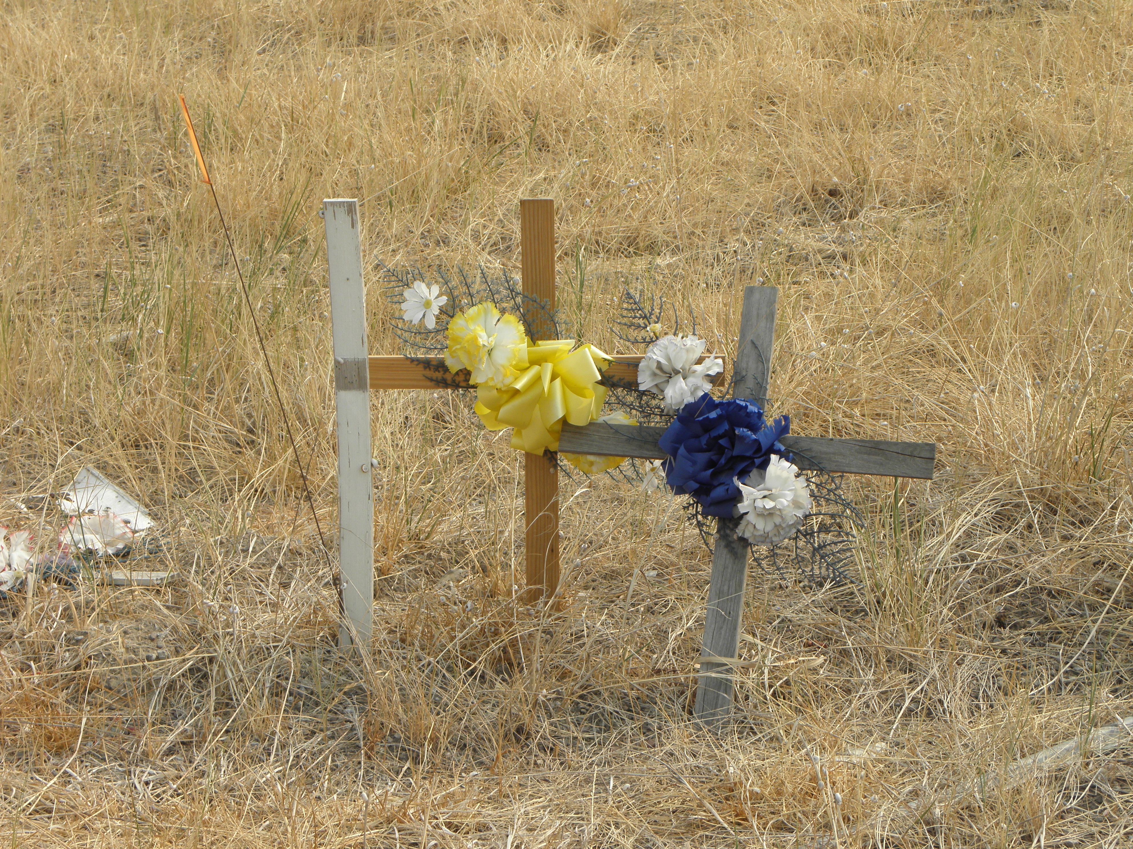
Montana is positively awash with cellotaphs like this, usually in places where even the most craptacularly inept moton would have difficulty in crashing.  The place is, however, also awash with signs warning of the dangers of crystal meth...
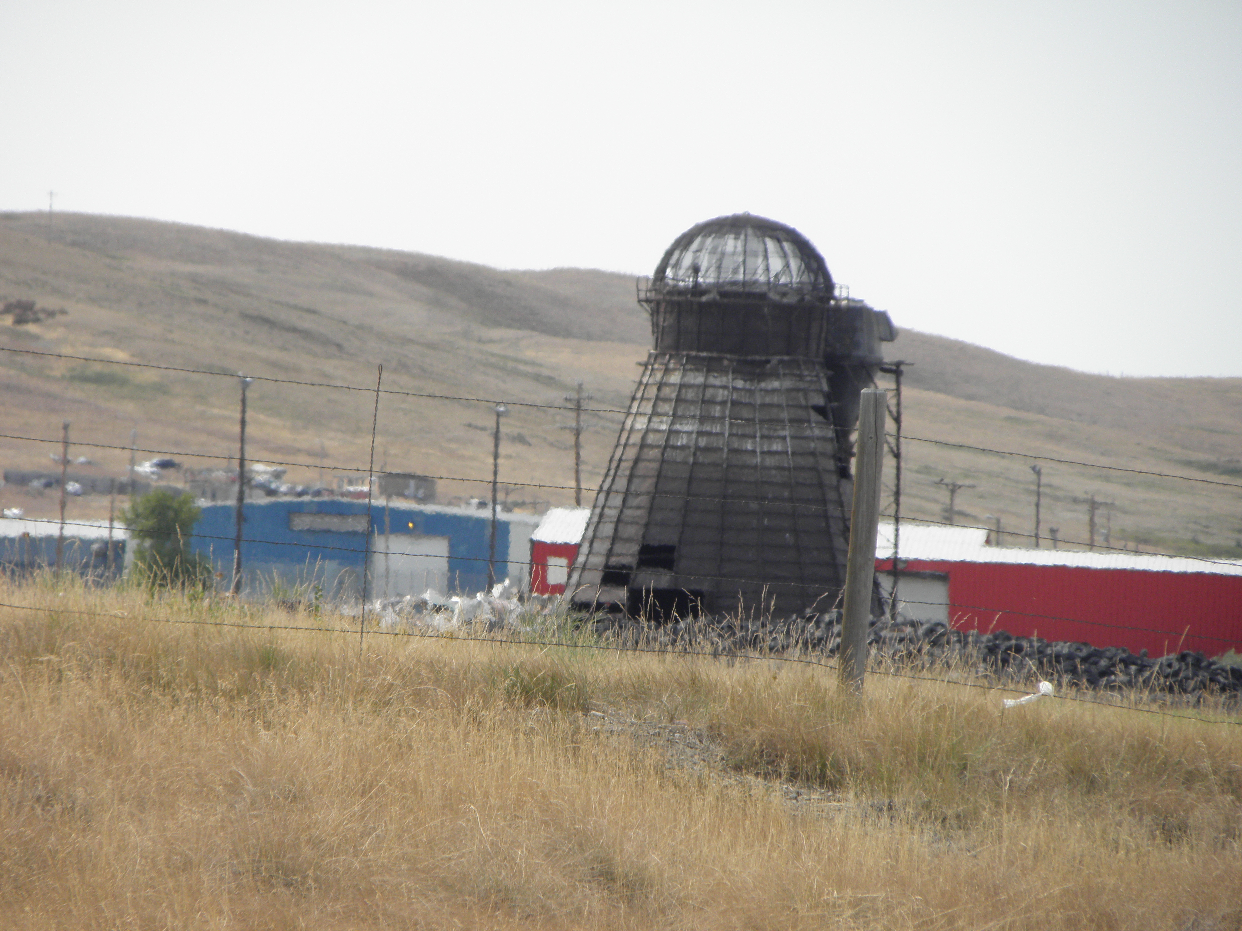
Another one of those incinerator/Dalek hybrids
Look, Mum, proper mountains at last!
I don't know why I should find it surprising that the main cash crop up here has changed from cows to wheat, because wheat is what the Prairie Province of Canada™ are known for, and they start a couple of hundred miles north, but the place is littered with combine harvesters doing their Thing.

And so to East Glacier Park.

Either we have a new Pope, or...
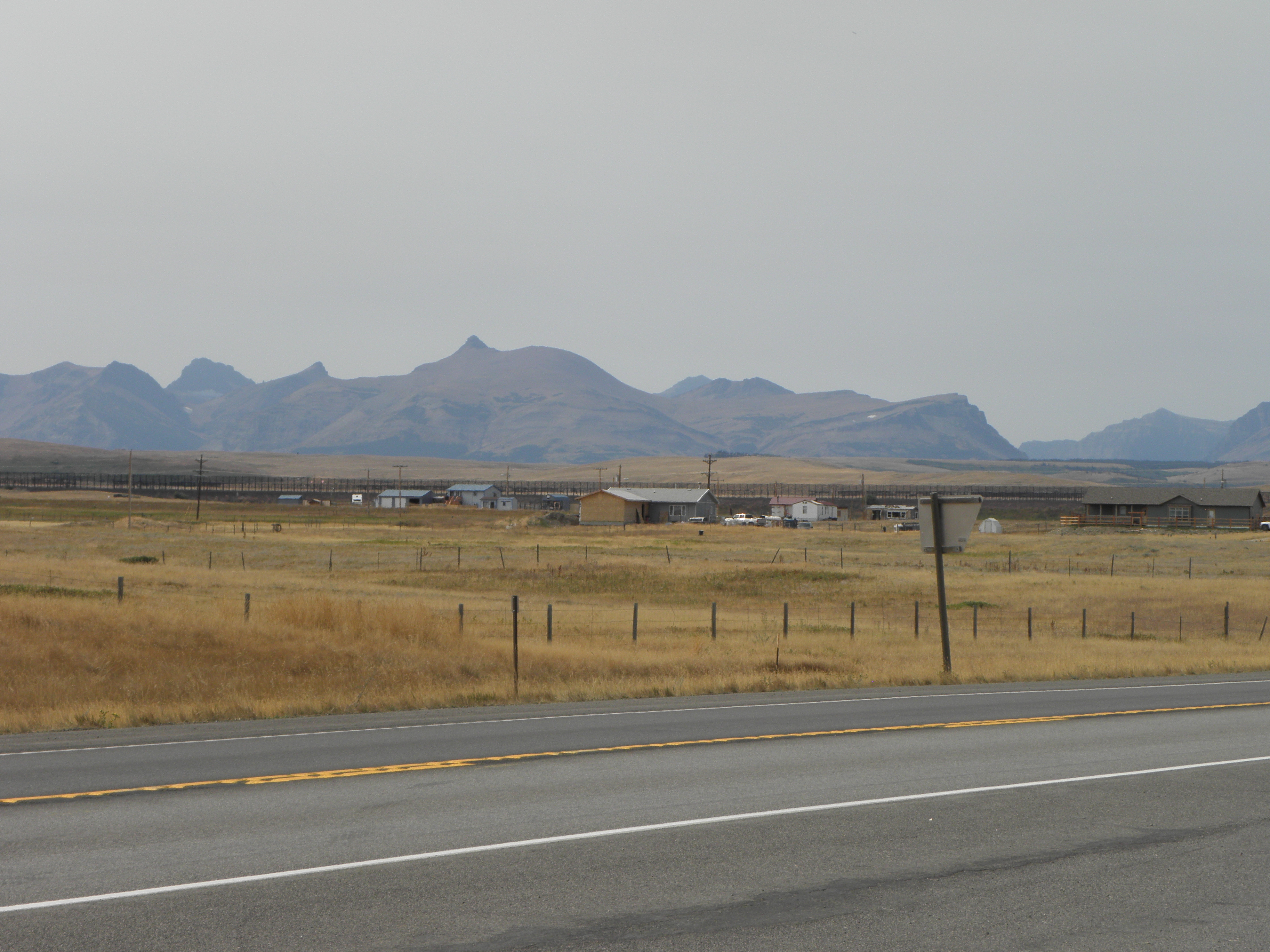
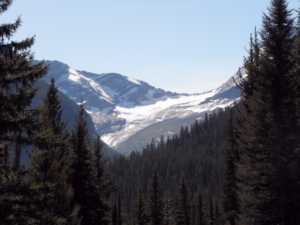
"Soz" says a helpful sign "the road over Logan Pass is closed because big fiery burny DETH!"  If I cannot take the road over Logan Pass - i.e. the through road to West Glacier Park and parts beyond - then there is little point in ponying up twenty bucks for the privet hedge.  Anyway, I expect it still looks like this:
and this:
Glacier National Park in 2009, yesterday
only with less ice because of some conspiracy theory invented by the Chinese1.

Instead I shall take US-2 around the south end of the park, because to go around the north end would require invading Canada.  US-2 is actually jolly scenic when the smoke doesn't get in your eyes and here is a picture to prove it.

And it gets a lot warmer on this side of the Continental Divide.  As things start to flatten out I turn off and potter four miles up a side road to visit this, which I missed last time because teh Stupidz:
Hungry Horse Dam
The crane has a capacity of 125 tons and runs on a pair of rails still sunk into the roadway across the top of the dam.  It was built in Portland OR, which is a very long way downstream...

You can actually drive all the way round the lake, but it's a hundred miles and I've already done over four hundred today.  No thanks.  Perhaps in another eight years' time I will be able both to drive right through the park and circumnavigate Hungry Horse Lake.  Put it in your diaries for 2025.

And so to Kalispell, where the Internets as as slow as those in the Super 8 in Battle Mountain when thirty spods are all trying to upload Stuffs at once.  I've only got 23 photos to upload, it's taken an hour and it appears not even to be halfway yet chiz.  
Oh, and my phone still doesn't work.

Another pearl of wisdom imparted by Billings Hotel Man was "It's2 even worse down around Missoula".  You do not need to guess which way I am going tomorrow.
  1. According to that basket case in the Awful Orifice, anyway.
  2. Big fiery burny DETH, that is.

Sunday, 3 September 2017

Day 5: Rapid City SD - Billings MT

Pretty much another transition stage today.  Out of Rapid City and up into the Black Hills, which hav a very interesting history if you are interested in hist. which few boys are.  It would seem that in 1868, the U.S. government signed the Fort Laramie Treaty of 1868, establishing the Great Sioux Reservation west of the Missouri River, and exempting the Black Hills from all white settlement forever.  "Forever", in this case, turned out to mean "six years" as in 1874 gold was discovered, The Man took the Black Hills back and kicked the locals out on their collective ear.  This led to all sorts of unpleasantness, especially if you happened to be George Armstrong Custer, the world-renowned military berk.

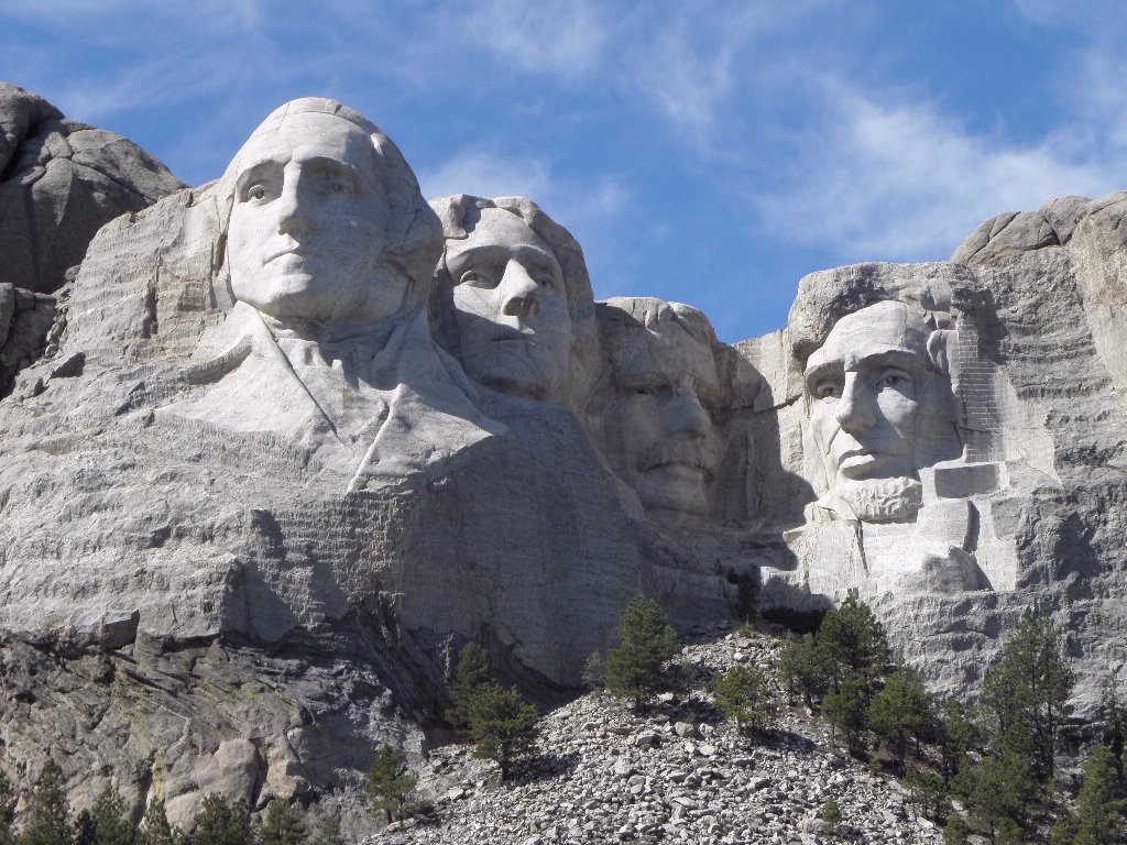
The Man then filled the route up from Rapid City with all manner of tacky tourist tat, at least as far as Mount Rushmore where, as noted yesterday, I did not go.  But you can see it from the road.  It still looks like this:
Famous rock group The Presidents of the United States of America
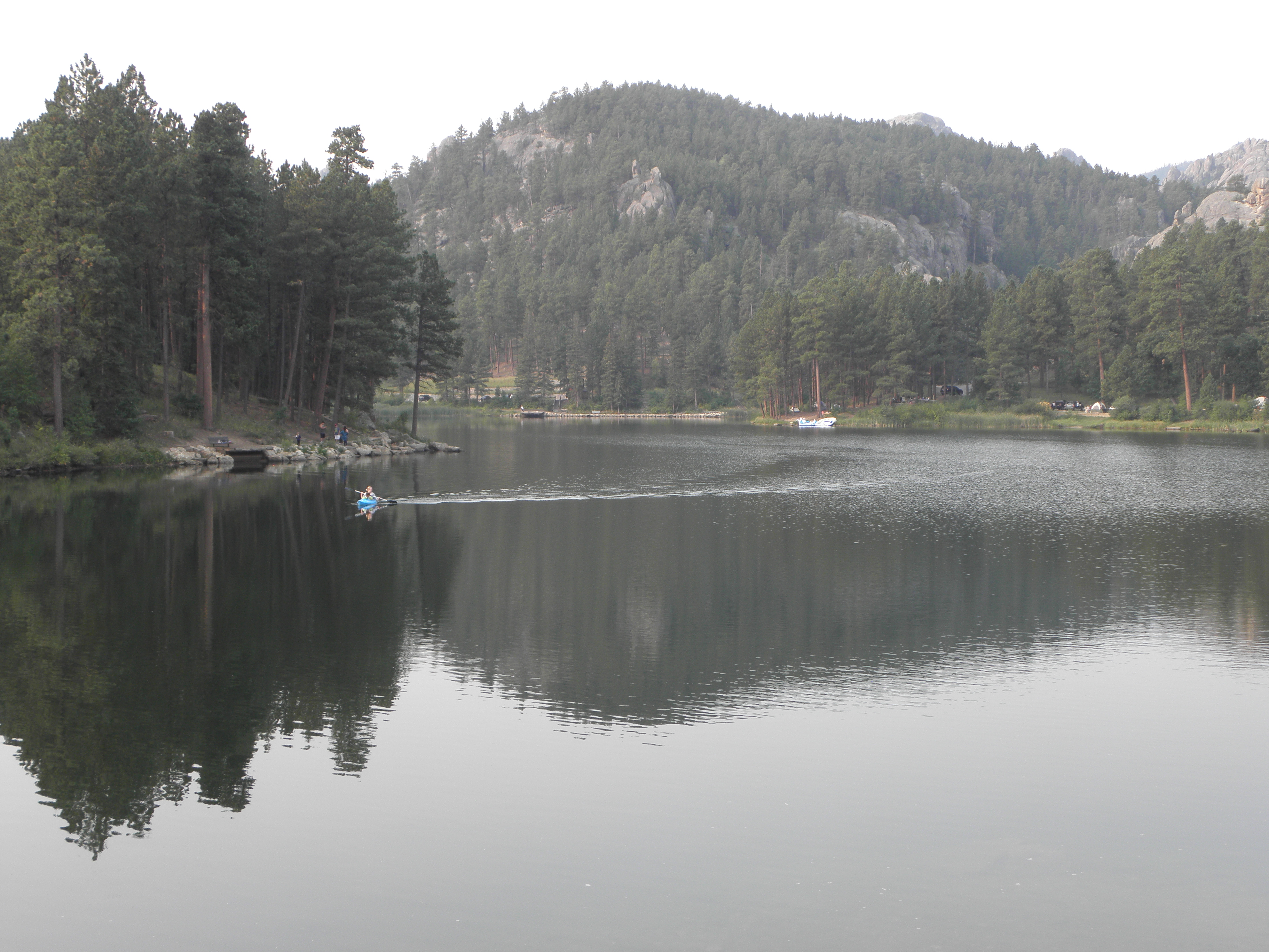
I was actually looking for the so-called "Pecker Rock", which is supposed to stand next to SD-244 just past Mount Rushmore and resembles a CDC, so I could photograph it and enhance the reputation of YACF for smut.  But having not seen it on the first pass, I decided not to bother going back and looking again, so instead here is Horse Thief Lake:
Next stop the Bear's Tipi1.  No, Emily, I do not wish to go back to Rapid City, because that is in totes the wrong direction.  Take me out of them thar hills in a westerly direction, if you would be so kind.

After coming out of the hills it turned all hazy.  I suspect this was due to distant wild fires filling the atmostale with crud rather than any low clouds or Exhalations of the Earth.  Not much else to see here either; a reversion to the standard Plains mild lumps with cows on them, the odd stand of Ponderosa Pines and the occasional mile-long coal train.  Alas I was too slow to get a photo of one of these as it approached the town of Newcastle...

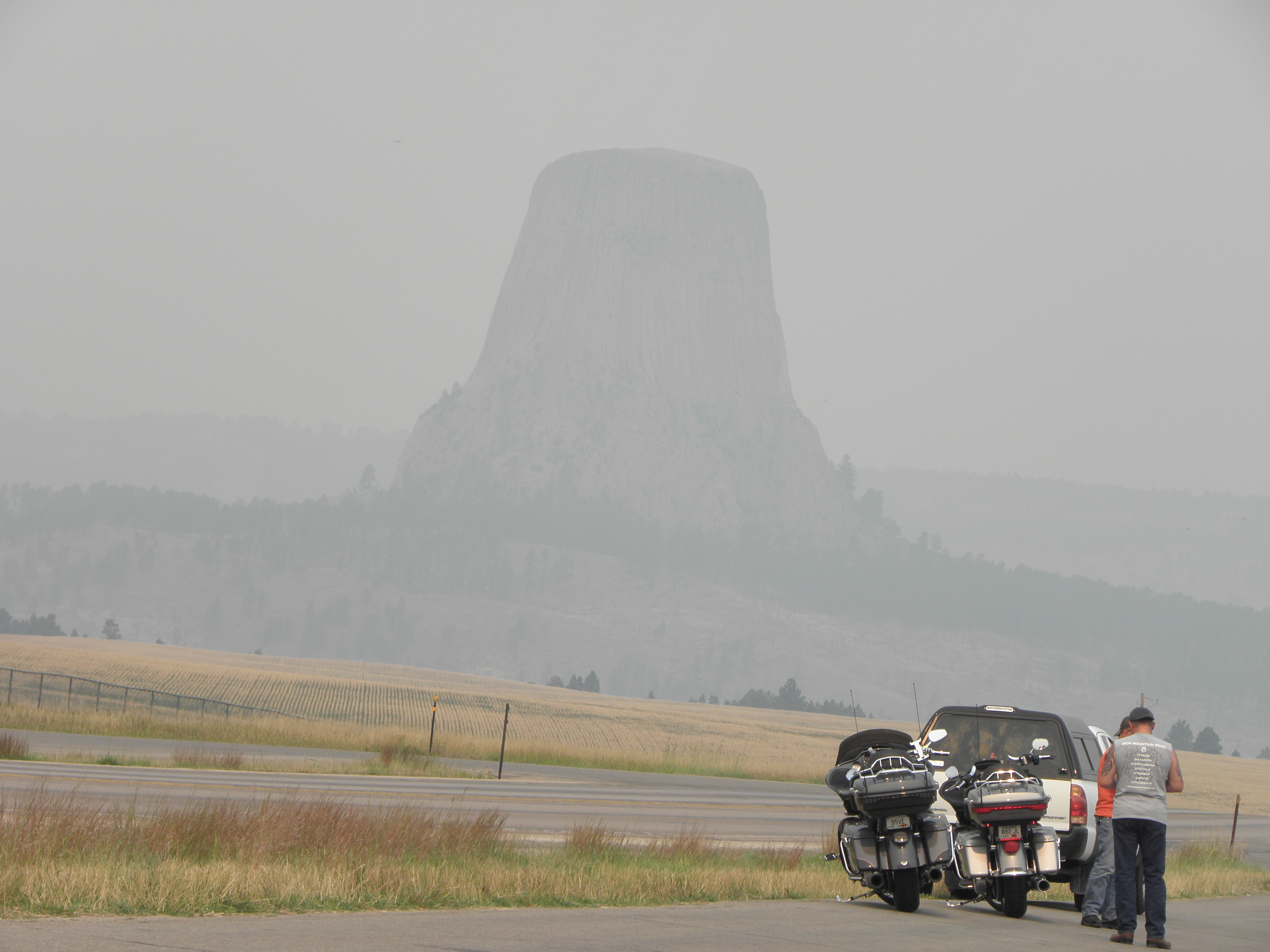
To demonstrate the murkiness of the prevailing, here is the Bear's Tipi from not really all that far away:
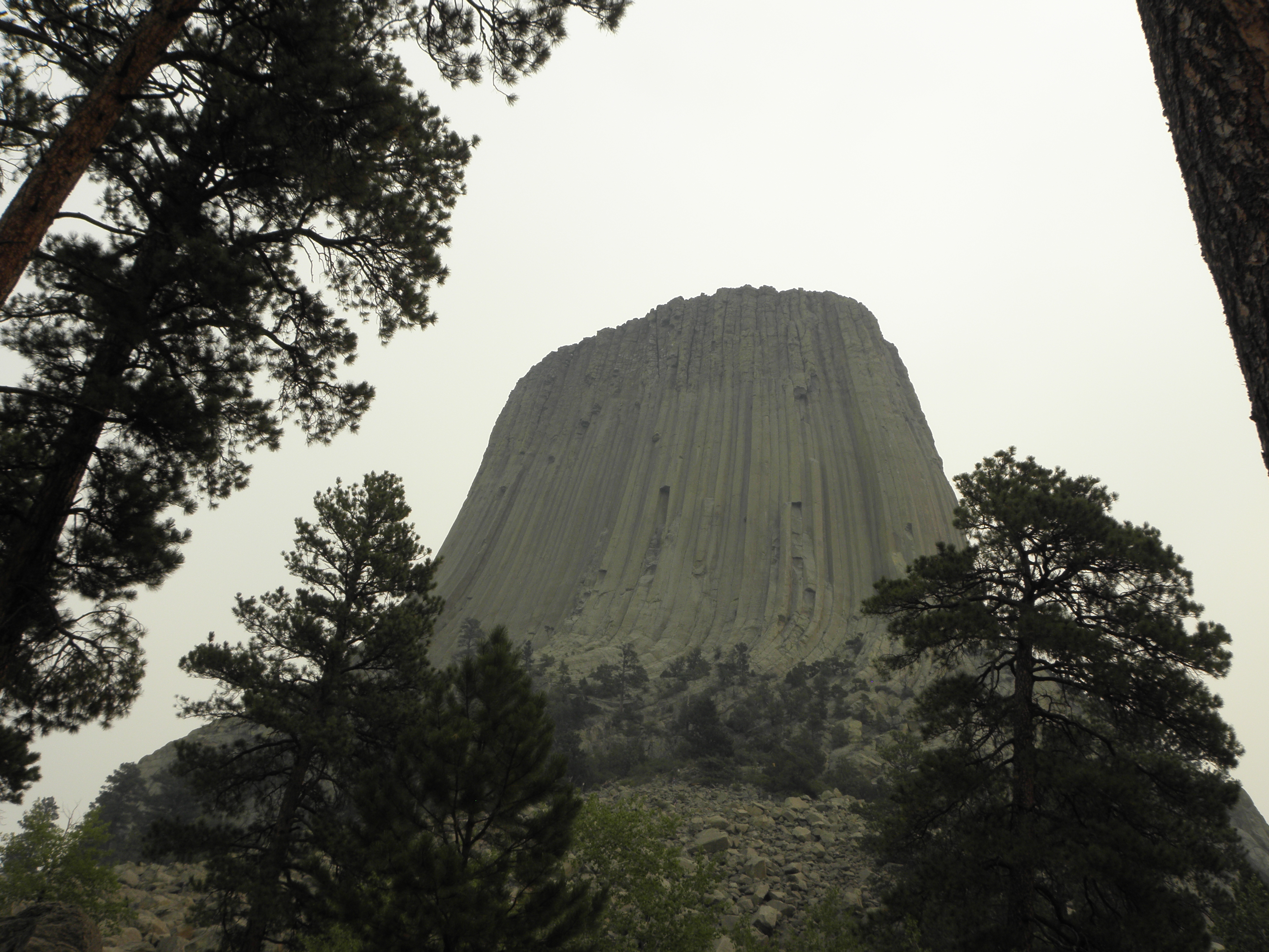
You had to get up close and personal before you could make it out clearly enough to see whether it's made of mashed potatoes, by Richard Dreyfuss:
If, in fact, it was made from mashed potatoes it is unlikely that there would be mad people like this anywhere near it:
And thence to Billings, via the same route as in 2005.  Which, I recall, had a smooshed deer every mile or so as a result of empty cattle trucks bombing along US-212 at 90 mph.  Today there were far fewer smooshed deer and the mighty rushing headwind ensured that no-one was bombing along at 90 mph no matter what they were driving.  Hardly any cattle trucks anyway, with it being a bank holiday tomorrow.  The game of "match the distance on the fuel readout to the distance left to travel" went hopelessly wrong and enforced another stop chiz.  Nearly 300 miles with nothing worthy of note to look at.  I did go past the Little Bighorn battlefield, but I went there in 2005 as well and stopping would have merely confirmed that George Armstrong Custer was at least eight of the BRITISH Army's eleven officially recognised types of fucking idiot.
"I've got a great idea", said Custer.  "Let's abandon the high ground where Mr Larrington is standing with his camera in 2005 and chase the Indians down that valley where... oh! Shit!"
On Porcupines: Any fule know that when a porpentine is fretful, its quills stand on end, thereby ensuring any wannabe predator gets a faceful of pointy spikes.  But according to a notice in a rest area somewhere in rural Wyoming, a fretful porpentine will actually climb a tree to escape from danger.  I did not know this.

On Telephones: Last year my phone Just Worked over here.  This year I switched it on after getting off the plane and it chirpily greeted me with a "Welcome to USAnia" text from Giffgaff.  But it has subsequently lost interest in being a phone and resolutely refuses to find any networks.  Billings has a population in excess of 100,000 people.  There will be mobile phone networks here.  Any ideas gratefully received2.

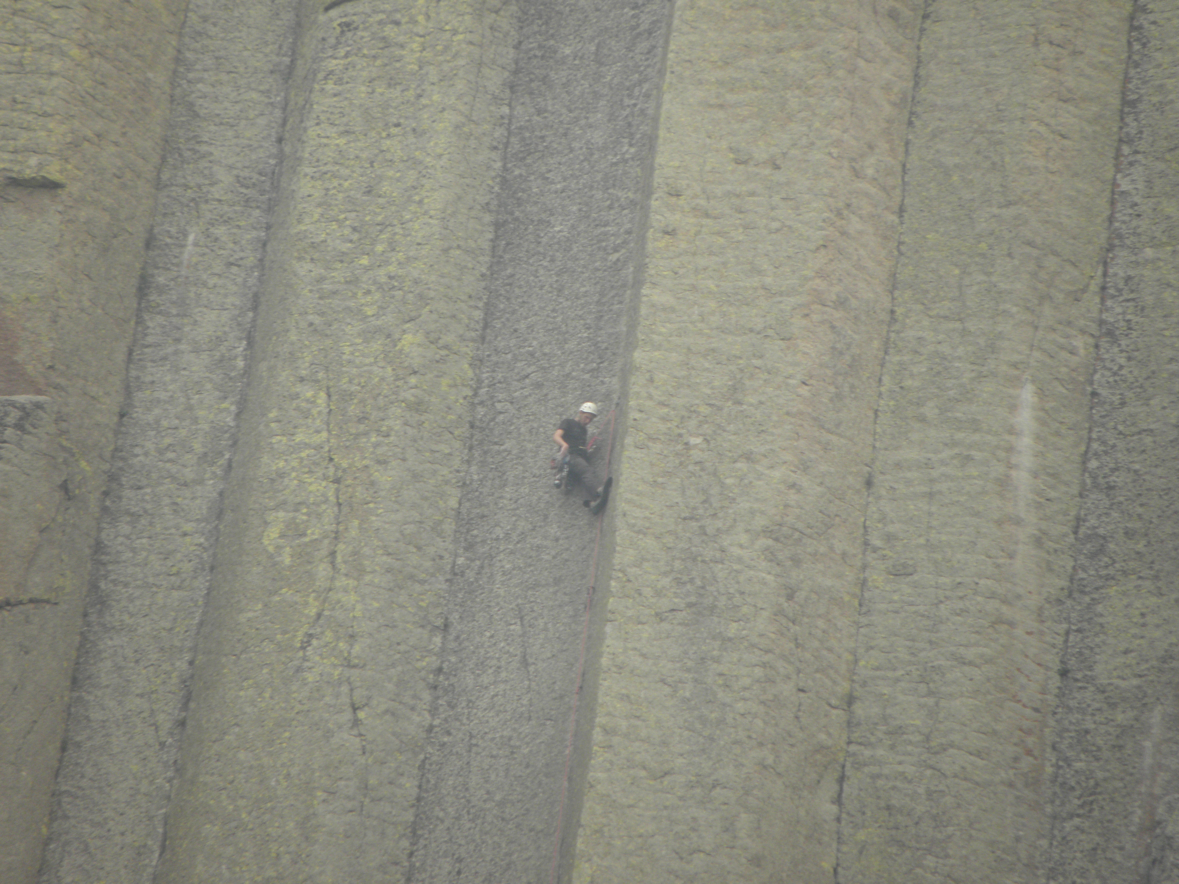
  1. AKA the "Devils Tower".  Stupid white men.
  2. Yes, I have tried switching it off and on again, poking various things under "Settings", and foul language.

Saturday, 2 September 2017

Day 4: Yankton SD - Rapid City SD

So, yes, Saturday, South Dakota.  Here is an example of the scenic glory of the part of South Dakota wot lies east of the Mighty Missouri.
Southern New Mexico, I take back (some of) the nasty things I said about you...
It is my considered opion that His Bobness' Hollis Brown killed his family and then himself less out of desparation at Great Depression-era poverty and more from seeing that ^^^^ out of his window every morning.  Mercifully, most of the first hundred miles of it were shrouded in fog.

Out of the said fog, at one point, loomed a billboard for a local business, viz. "Dick's Body Shop".  One might assume that Dick operates some sort of motor-car repair facility, were it not for the additional information that he offers a "24-hr Toe Service".  So, car repairs or chiropody?

After a fair chunk of flat agribiz, South Dakota is bifurcated by the Mighty Missouri.  In my case, cruising up I-90, at Chamberlain.  Atop the bluffs on the east bank of the river is this:
Dignity - statue near Chamberlain SD
According to Wikinaccurate:
The 50-foot high stainless steel statue, by South Dakota artist laureate Dale Lamphere, depicts an Indigenous woman in Plains-style dress receiving a star quilt. According to Lamphere, the sculpture honors the culture of the Lakota and Dakota peoples who are indigenous to South Dakota.
And you're wrong again, Your Bobness, see, because Dignity has been photographed.  There are also some more bridges across the Mighty Missouri, but bridge fans know where to look for pictures of those.

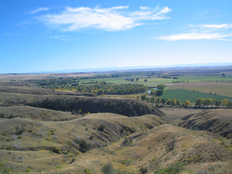
On the other side of the river, South Dakota offers a different variety of not much.  It's slightly lumpier and drier and more cow- and less maize-infested.  This is the view from a "Scenic Overlook" on I-90:
I kid you not.

South Dakota does actually have interesting things to look at, but they're all crammed into the bottom left-hand corner.  So you can drive across more lumpy prairie until your eyes glaze over, turn a corner and come face to face with this:
And this:
And these:
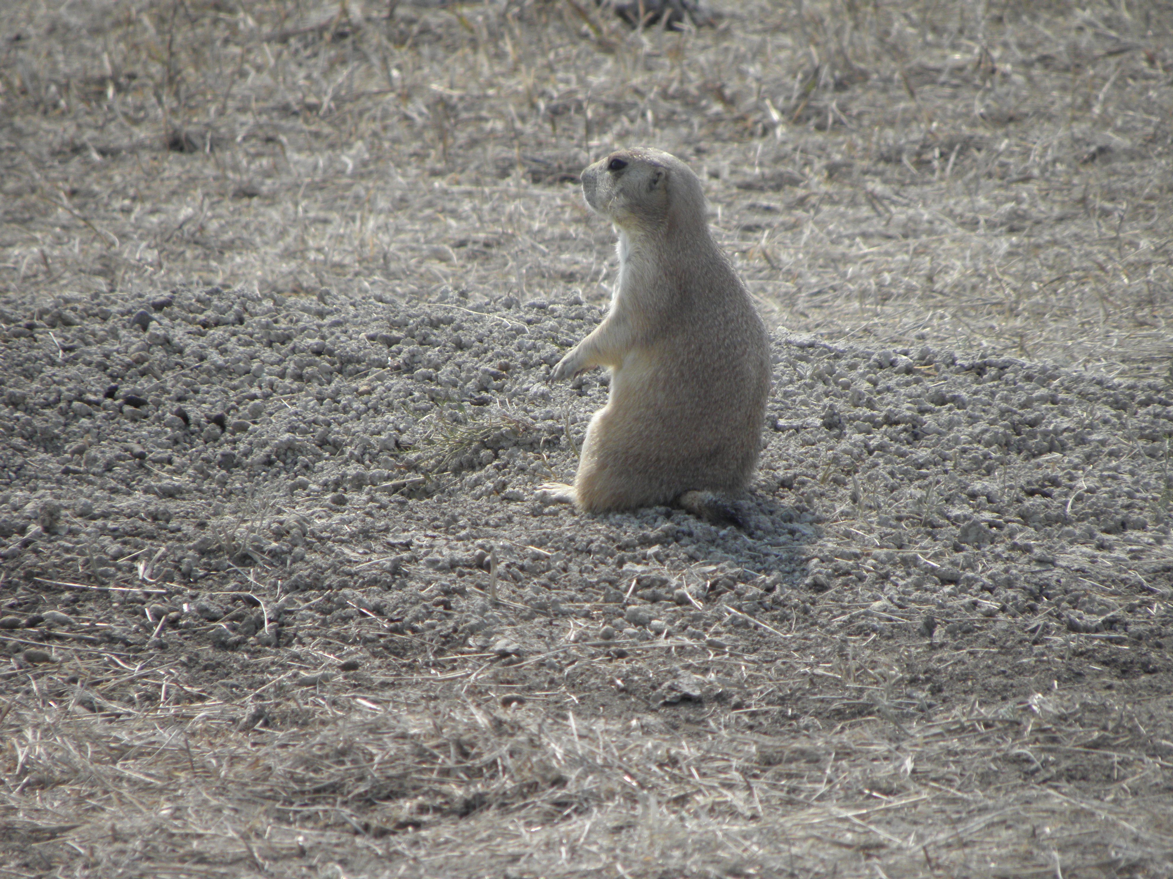
Prairie dog pitching for own TV series
And so on.  The Badlands, as they are known, are doubly jaw-dropping because they're in South Dakota.  You expect to find This Sort of Thing in for e.g. Utah or Arizona but certainly not here.  Anyway, they're teh Aces, and anyone seeking to slash the budget of the National Parks Service is almost certainly not fit to be President.

I have not been to the Badlands before as I didn't know they were here, because I didn't look at the map carefully enough when visiting not-far-away-at-all Mount Rushmore in whenever it was.  2011?  Anyway, I'm not going back to Mount Rushmore, because they haven't painted the heads green or anything.  I shall continue Westward Ho! tomorrow where it might be cooler.  Today's forecast was for 84 deg F but it hit 93 and the Nice Lady in the motel reception opined as how it is forecast to be hotter tomorrow, as I melted unappealingly across the floor of her office.

I don't know whether it's just because this is Labor Day weekend, but Rapid City, being the main metropolis for all the touristy bits, is charging way over the odds for accomodation.  I am in a place called the Avanti1, which is charging $180 for a room which, while perfectly serviceable, is no better than places I've paid half that for earlier this week.  Someone is having a giraffe, and it's not me.  AND their wifi is flakier than anything that isn't stuck in a cone of Mr Whippy.

  1. Which always makes me hear Peter Kay saying "Two more Lamb Bhunas over 'ere!  Avanti!"

Friday, 1 September 2017

Day 3: Kearney NE - Yankton SD

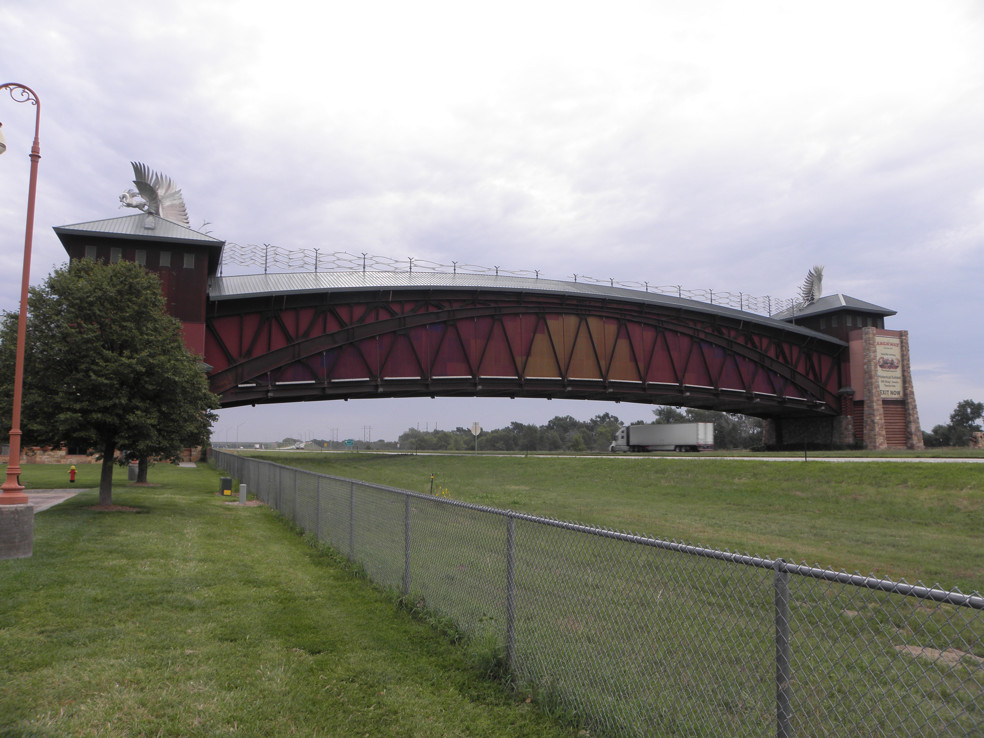
So, Friday.  It rained overnight, and was still doing so, albeit with little conviction this morning.  Top stayed up all the way to Omaha, but no great hardship as I had eschewed the scenic route in favour of a simple run down I-80.  Just outside Kearney is a this:

Apparently
The Archway is a museum of and monument to Nebraska's and the Platte River valley's role in westward expansion
which must cause no end of celebration among the Native Americans.  Though perhaps not as much as this advertising-announcement I saw later:
And they also have one of these:
which the Native Americans probably find a poor substitute for the real thing too.  Although it's one up on Milton Keynes.

So, Omaha, and indeed Council Bluffs, across the Mighty Missouri in Iowa.  For the Union Pacific Railroad has a museum in Council Bluffs - the first transcontinental line having kicked off its eastern end from Omaha.  The museum is surrounded by parking meters.  I have no change.  I mean, None.  At.  All.  I can install an app on my phone and pay that way.  I don't think so, not least because it would eat every last penny of credit I have on my account.  This is Iowa, remember, where you're not even allowed to smoke outdoors at Interstate rest areas.  So yea! And verily!  A resounding "Fuck Off" to the place.

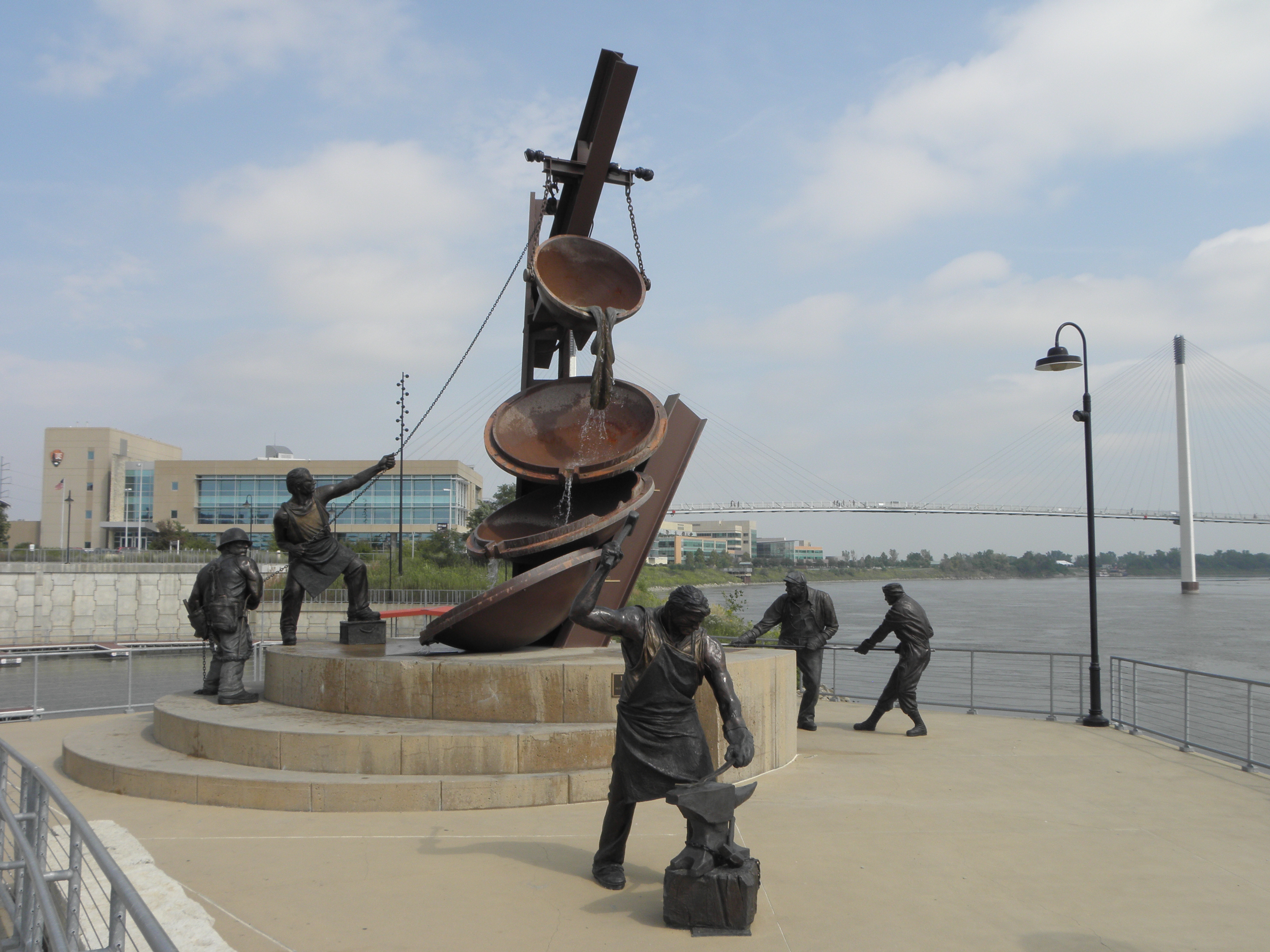
Back over the Mighty Missouri and to the Riverfront complex.  There is a bridge:
and a statue:
The latter - depicting as it does "Labor" - will probably be removed by enraged Republicans before long.

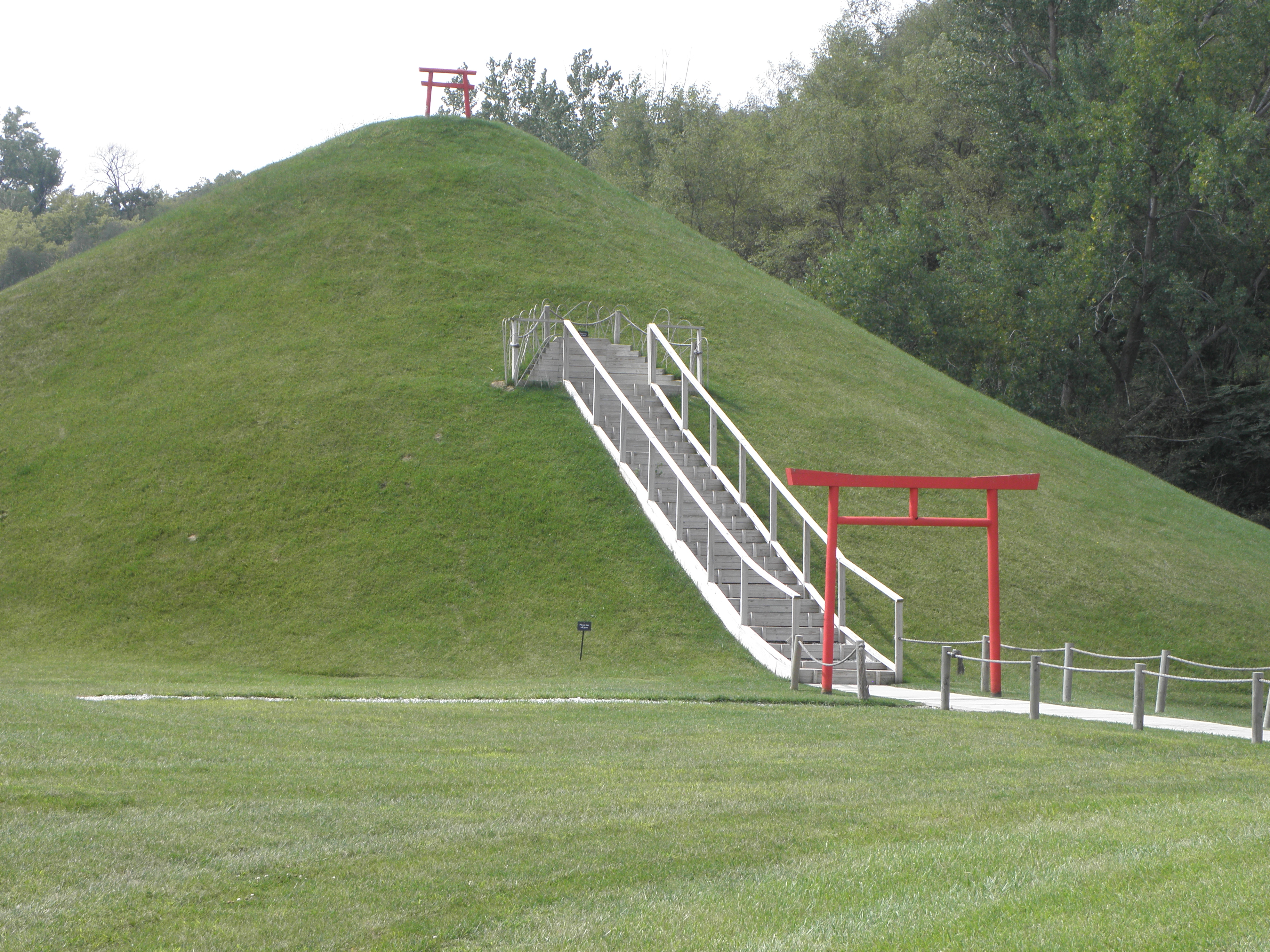
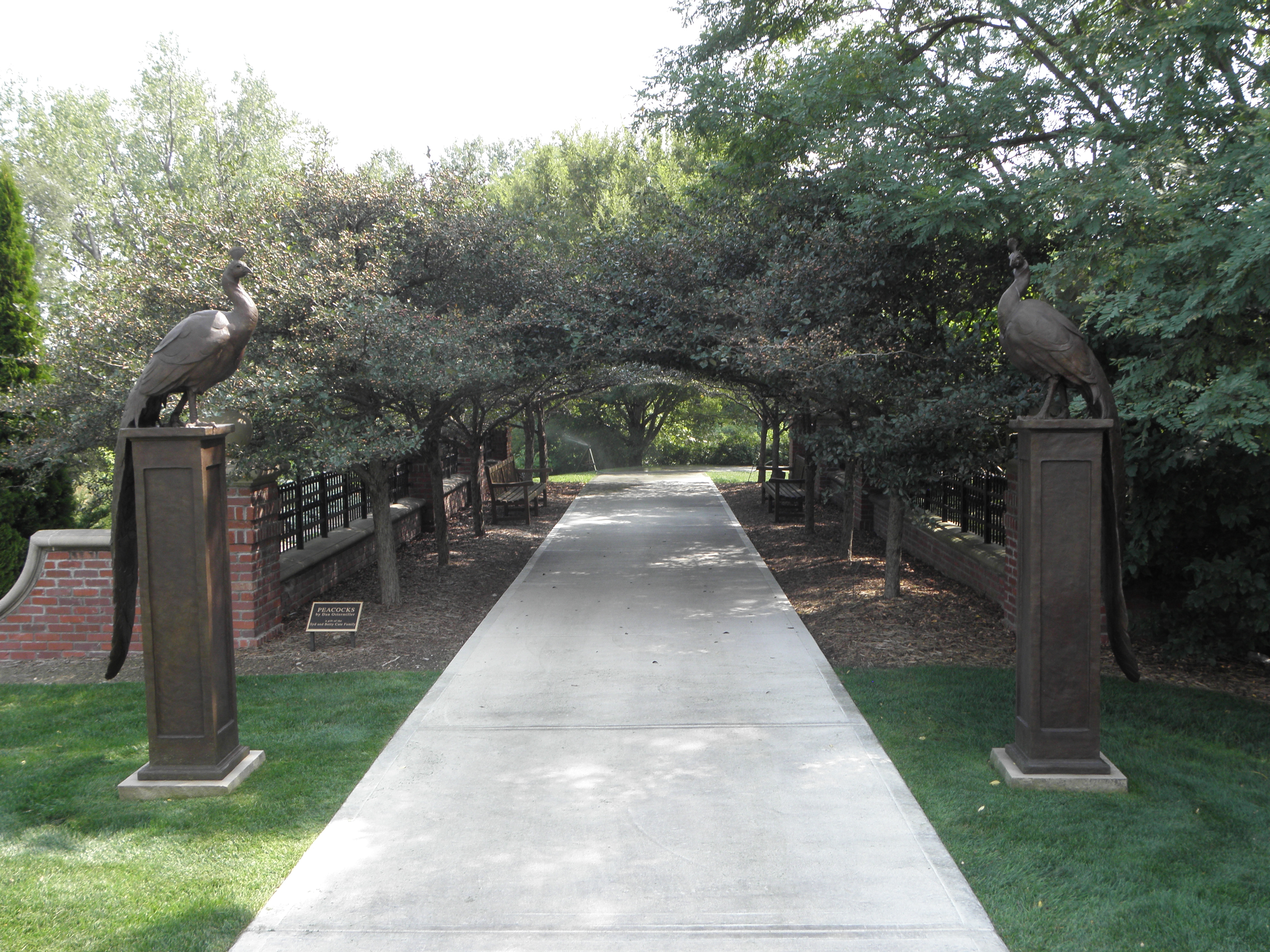
And then to Lauritzen Gardens and Kenefick Park.  These are next door to each other on the valley side.  The former is a dead restful and actually rather fab series of gardeny bits, or at least it would be restful were it not for the constant noise of I-80 just over there ==> and the occasional low-flying aircraft.  Some highlights:
EglÄ— the (Lithuanian) Serpent Goddess
Mount Fuji (not actual size...)
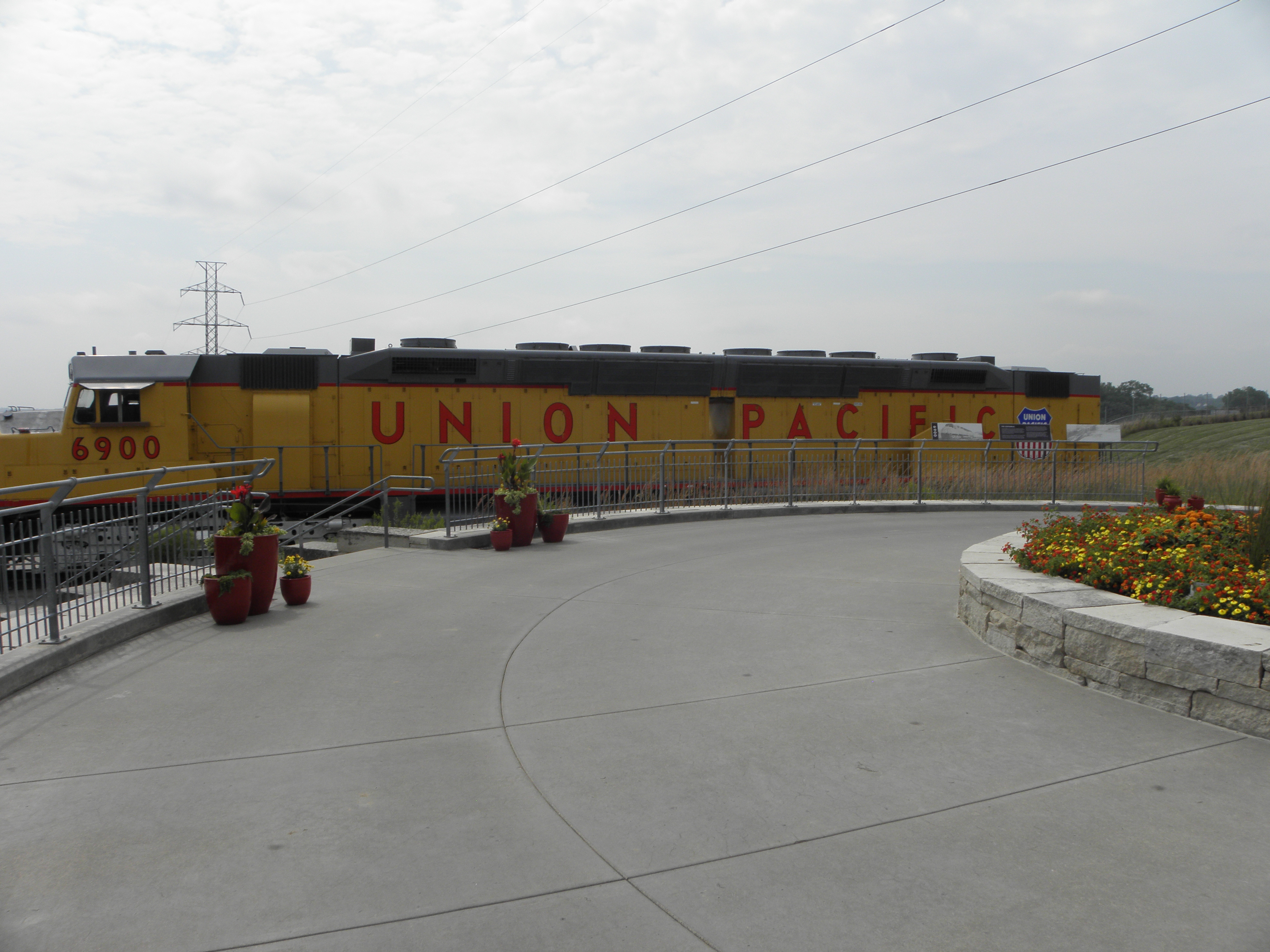
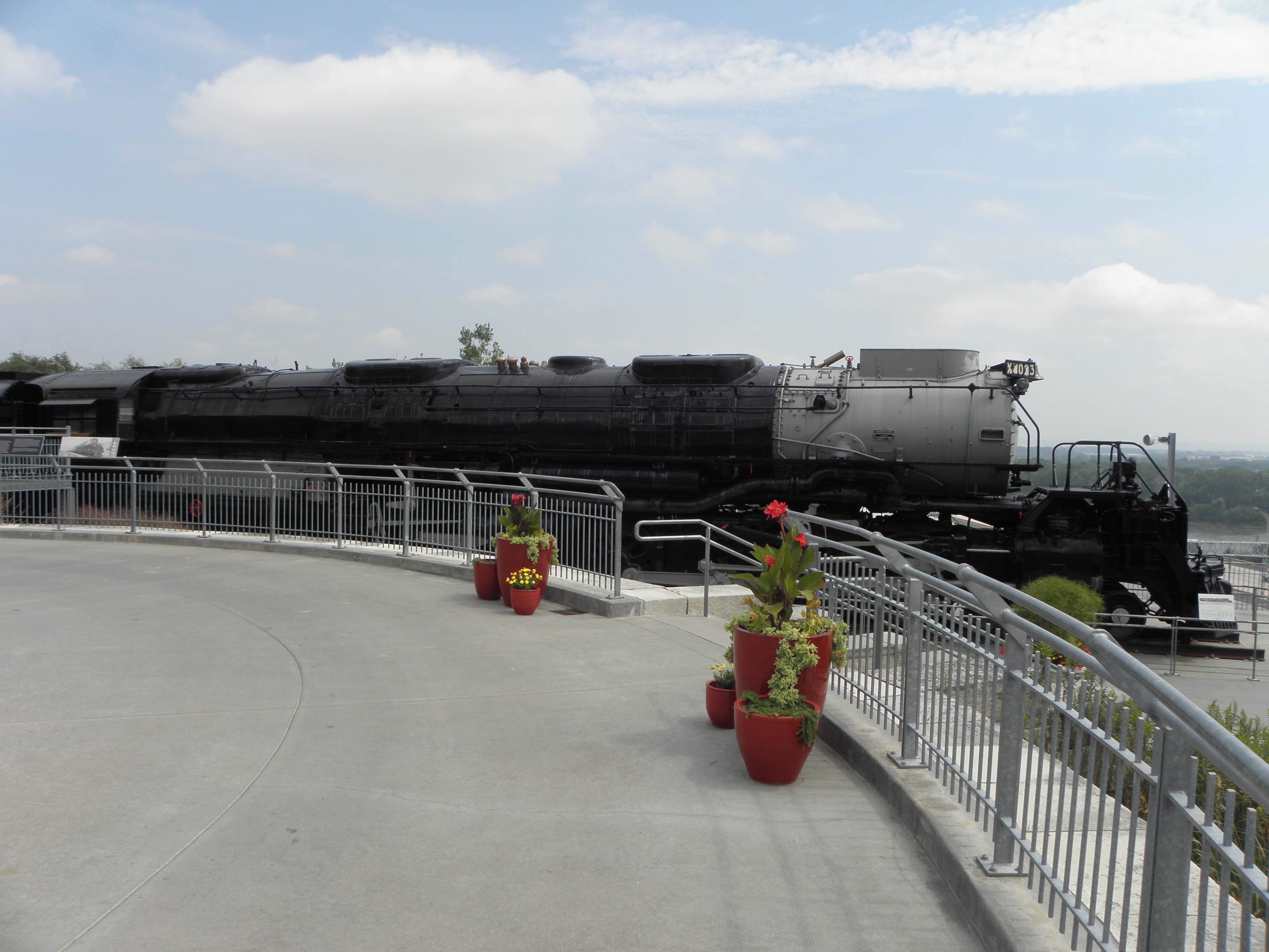
Kenefick Park exists only to accomodate a couple of GBFO Union Pacific locomotives; the snappily-named EMD DDA40X (aka "Centennial") and the American Locomotive Company 4000-class 4-8-8-4 "Big Boy".  The former is 30 metres long and weighs the thick end of 250 tonnes; the latter is even more biggerer and heavier.  And there they sit, perched on a hill above the freeway.  How the blazes did they get them there?
...but I made a bit of a bish and didn't fit it all in...
...but I couldn't walk far enough backwards to get all of this one in!
Time for Emily to earn her pay again.  The motor-car has a built-in TwatNav, but so far I have only used it in small doses, because there's no way to change the voice and being given directions is very much like being harangued by Sarah Palin.  Emily has seen me to Yankton SD, via not-the-Interstate and through more rain.

Yankton is famous for, er, well, it will be famous for a triple canine slaying if the fucking hounds of hell in the room next door don't STFU.  I am tempted to dob them in to The Mgt, as Teh Roolz say "pets must not be left unattended", which these clearly are.  Which would start off someone's bank holiday weekend very nicely indeed.  Alternatively, I could just make an unholy row while getting up, getting packed and getting noisily underway with a nice loud V8 tomorrow morning.  Bah!

Thursday, 31 August 2017

Day 2: Denver CO - Kearney NE

If you were, like me, OCD enough to watch ITV4's full live coverage of every stage of the Tour de France this year, you would have recognised a pattern in the flatter stages of the race, viz.

  1. TV's Gary Imlach, Nice Chris Boardman, *** Boulting and Super Dave Millar start proceedings with some dodgy jokes.
  2. *** and Super D do a spot of commentary before handing over to Matt Smith and his hostage guest in  a broom cupboard in That London, while they themselves clear off for an extended lunch break.
  3. *** and Super D come back from lunch smelling strongly of Drink and utterly fail to show any evidence of being interested in the day's futile breakaway, even if it's got housewives' favourite Petit Tommy Voeckler in it.
  4. Nice C pokes his head round the door and makes some more dodgy jokes with ***, while Super D sulks.
  5. Bethany (7) will make a perspicacious comment on the likely outcome of the stage*.
  6. Marcel Kitteh Kittel wins it.
Today was a bit like that, only without *** and Super D, or M Kitteh, or Bethany (7), or the strong drink, or...  Well, OK, it was flat. Because if you are foolish enough to head east from Denver, instead of running smack into the Majestic Rockies soaring skywards like big soary things, you will find yourself going imperceptibly downhill until you get wet, because you have driven into the Mighty Missouri.  About 500 miles away.  Here is what some of eastern Colorado looks like:

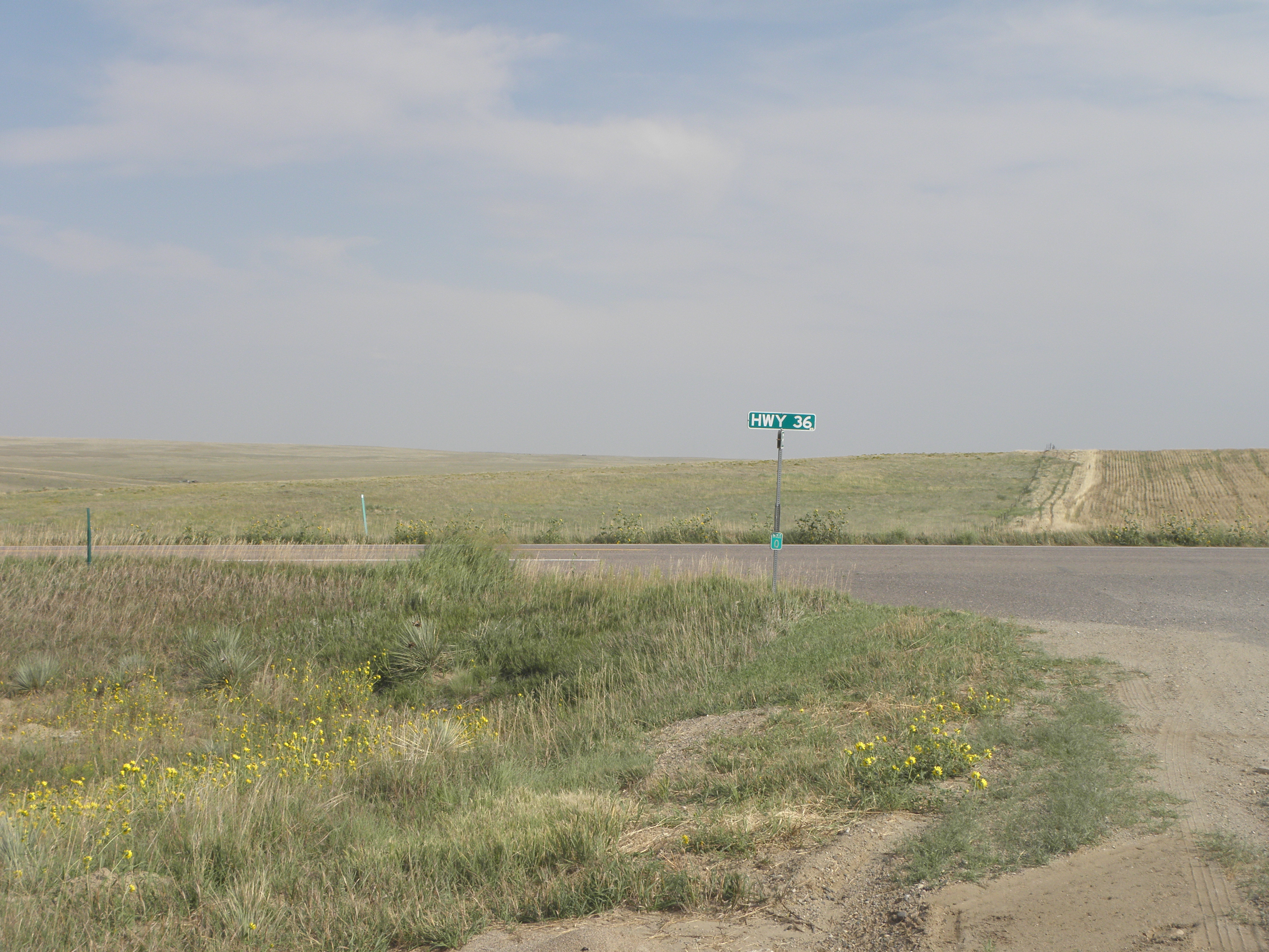
The big road is US-36, and a bit later on, in Kansas, had a Lightning F-40.  On it.  Unfortunately it was going the other way so with a relative velocity of about 90 mph I could not get a picture.  So instead I got a picture of Thomas, whose world travels with a Lady of Letters have clearly had an influence:
"Makes a change from hanging around the bins", noted Thomas approvingly
That was in Joes CO, but northwest Kansas and southern Nebraska are similar, which is to say dead rural and having terrain varying from "mildly lumpy" to "Fenlandic".  It was, however, a sight more interesting than covering the distance on I-76 and I-80.

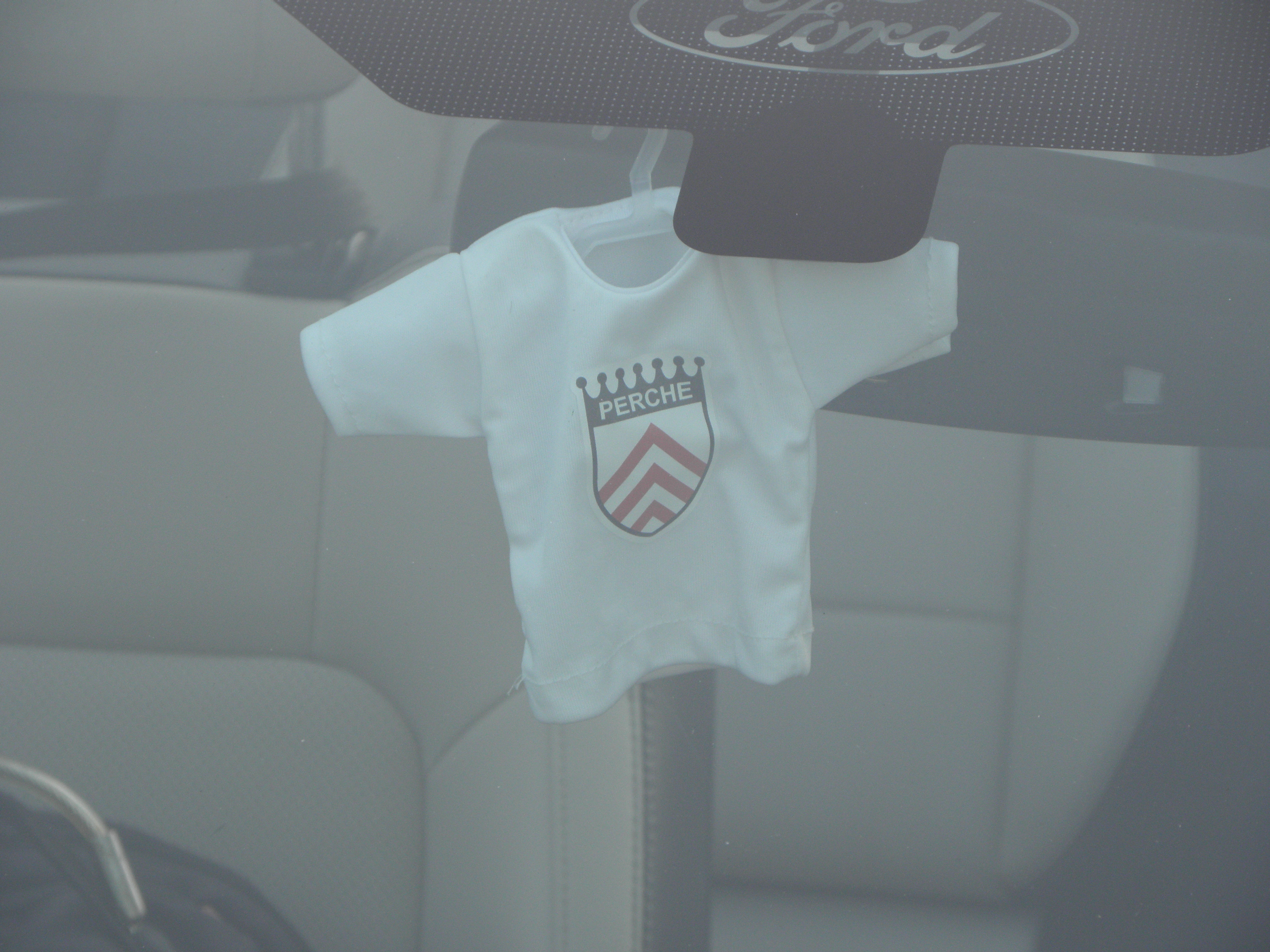
Those whose memories stretch back e'en afore the inception of the Automatic Diary may have realised that it is ten years almost to the day since a combination of sleep deprivation and caffeine tablets led your humble author to proclaim himself Mayor of Mortagne au Perche.  Thus it was most appropriate that on the doormat of Larrington Towers on Tuesday I found this:
Sorry about the slightly ropy image quality - I think the camera autofocussed on the wrong thing, but big ups to Lindsay Clayton and Chris Smith for finding same and posting it just in time for it to become yet another barely-explicable in-joke.

* Bethany (7) is actually real, but her only genuine contribution to the Tour this year was to request that The Man not disqualify Crazy P Sagan.  Anything else credited to Bethany (7), and Bethany (7)'s Mum, and Bethany (7)'s friend 5, and 5's Mum Syrah, and Bethany (7)'s hippy grandmother, and Bethany (7)'s Cool Uncle Joe, and any relationship between Bethany (7)'s Mum and Warren Barguil, is entirely fictional.  Sorry if this disappoints.
Wednesday, 30 August 2017

Day 1: Fort Larrington - Denver CO

Today it rained, at least around Fort Larrington.  Not to Houstonian standards though; I'm really rather glad the honest burghers of YACF talked me out of going there this year.  They're still digging up many, many roads between Fort Larrington and Thiefrow, mind, which meant I was treated to a round-the-lanes detour to places I've never seen before in spite of the Fort having been in the family for more than forty years.  And it was a manky Toyota hybrid, not the Mercedes to which I have become accustomed.  Bah!
The good news is I managed to bag a seat twenty row for'ard of the one BA tried to give me, and with the extra leg room you get from being at the front on the bus cabin.  The bad news is the couple next to me had a small and noisy child much prone to shrieking.  In French.  We Larringtons are made of sterner Stuffs these days, even though I can no longer render myself unconscious with Strong Drink, and I did actually manage to get some kip.

Unfastening seatbelt to sparking up first fag: 55 minutes.  Standards are slipping, in spite of what we've been told about He Who Must Not Be Named in the Awful Office.  And Nice Man Victor at Avis actually has a convertible for me.  But he, like all car rental type is an Imp of Stan.  And I succumbed to his insidious temptations and general evil, so instead of the standard 3.7L V6 Mustang I have the 5.0L V8 version.  If the Internets are to be believed, this has 435 horsepowers.  Which is quite a lot.  Hurrah!  And guess who else is pleased?


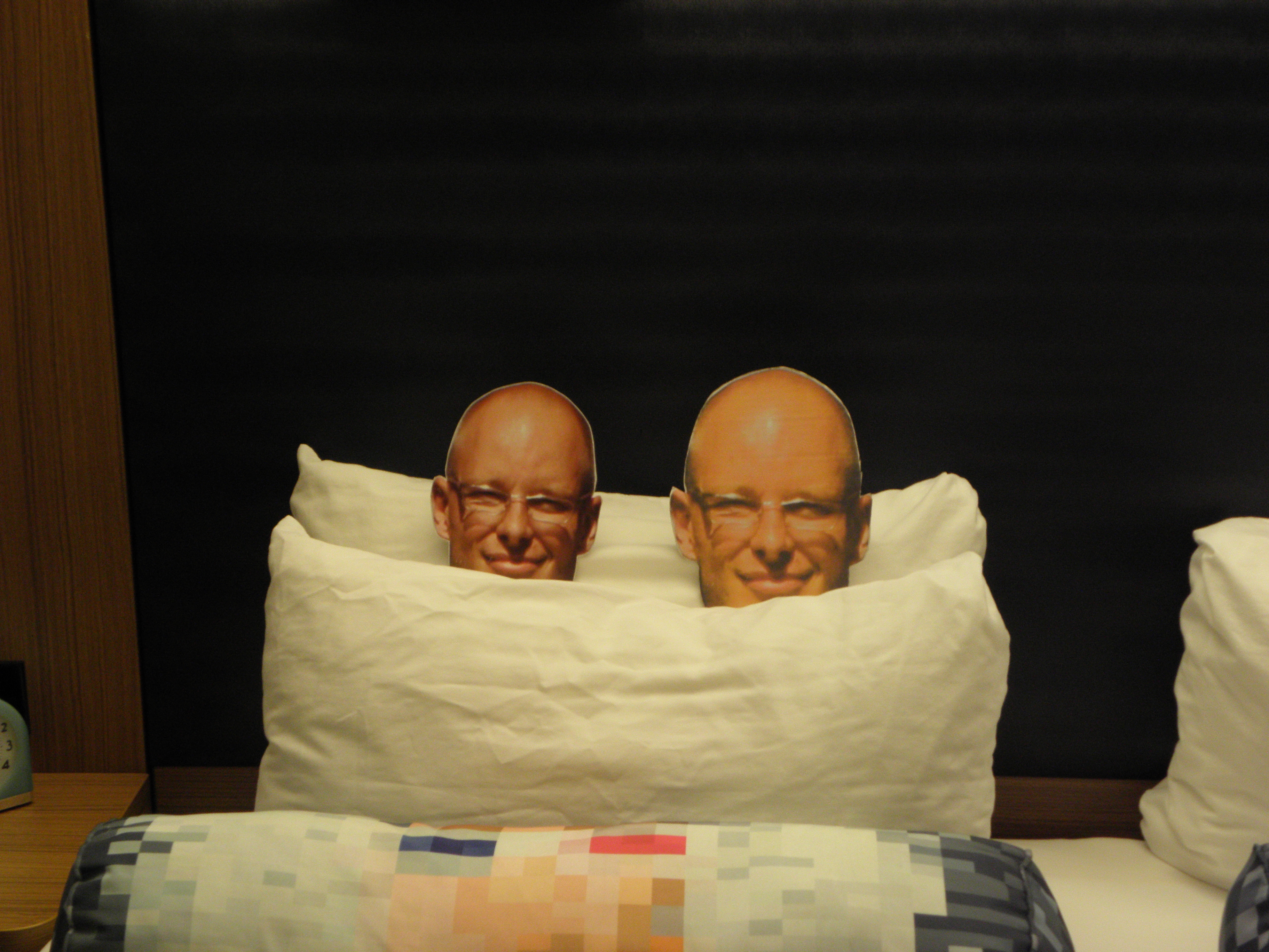
It's a trap!  There's two of them!
The original 2D Thomas - the one who toured Leftpondia with me last year before visiting Captain Cook's Mistake with Professor Larrington - is on the left.  I think he must have shrunk in transit or something.

More Stuffs tomorrow, Stuffs fans, as I head for Places I Just Missed Visiting On Previous Trips Because I Didn't Know They Were There.  Not, I grant you, the snappiest theme, but you get what you pay for, right?

Friday, 11 November 2016

Leonard Cohen Meets... #2 in an occasional Series

Further entries in this series have been cancelled

Monday, 31 October 2016

Leonard Cohen Meets... #1 in an occasional Series

Bob Dylan is awarded the Nobel Prize for Literature

Sunday, 23 October 2016

Last Days Of Summer

Today was the last day of the BHPC's 2016 racing season, so guess who had to come along and join the party?
"Wait...what?" exclaimed Thomas.  "You said1 you were going to swap me for the Ladies trophy!"
"Goes quite well for a little fellow!" said Thomas

  1. I lied.

Saturday, 15 October 2016

Perth Or Palace?

"This has to be an improvement over Mr Larrington's road atlas", said Thomas.  "Although it's a bit short on kangaroos!"
"I said 'kangaroo'! Not 'cat's khyber!'"

Sunday, 9 October 2016

It's A Trap! There's Two Of Them!

Photographic evidence of Thomas' safe arrival on the Counterweight Continent is, as yet, currently lacking.  However, he was spotted in Sunny Scunny this afternoon:
"I though the 'XS' model name stood for 'eXtra Small'", said Thomas.  "So how come I can barely see out?"
"Do I need a helmet if I'm wearing one of these?" asked Thomas.
Tiger in your tank1, yes.  Thomas in your tailbox?  Er...

Today I also learned of the existence of the verb "to quax" meaning to do one's shopping by public transport, on foot or by bike.  Derived from the moniker of New Toyland middle-distance runner Dick of that ilk who, coincidentally, gets a namecheck in Half Man Half Biscuit's A Lilac Harry Quinn2.

  1. Coincidentally, the title of the debut album by the very excellent MonkeyJunk (whom this Unit hereby endorses) as listened to on the way to Scunthorpe.
  2. It is a brand or marque of bicycle.  Your Honour.

Wednesday, 5 October 2016

Bon Voyage, Professor Larrington

Professor Larrington departed this shores for an extended sojourn in Captain Cook's Mistake today.  The good news is that she has consented to take Thomas with her, as bodyguard-cum-comedy foil.  With the real Thomas having just returned from FOREIGN climes for a visit to .nl1, the opportunities for confusion are legion.
Helpful Guide to Australian Wildlife for the Unwary
Also my parcel from MSI did arrive, but didn't contain any Stroopwafels chiz.

  1. Which is still a bit FOREIGN