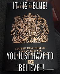
Saturday, 10 September 2016

Day 15: Susanville CA - Battle Mountain NV

This will be a short and poorly illustrated post because not much has happened today except driving three hundred miles, mostly across not-photogenic desert.  And the camera has been playing silly buggers and claims the cover of the wossname that the memory card lives in is open when it isn't, which meant that the Several of minutes I spent chasing a small lizard around a rest area to persuade him to stand still for long enough to 'ave 'is pitcher took were all in vain.

Not a complicated day from the navigation point of view either.  Turn left out of hotel car park.  Eighty-something miles later turn onto I-80.  Two hundred and something miles later turn off I-80 because that's where Battle Mountain is.

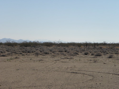
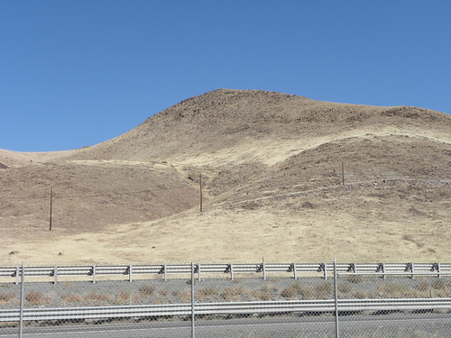
This is what much of the route from Reno eastwards looks like although quite a lot of it is flatter.  In the days of the California Trail the really flat bit was known as the Forty Mile Desert and was best crossed at night as otherwise your mules, horses, cattle and family would often wind up being killed utterly to DETH from the lack of water.  It is a lot easier now with the Ratmobile averaging 34 miles to the puny USAnian gallon today.  That's 41 miles to a proper BRITISH gallon, or 6.9 l/100km in FOREIGN.  Also Nightingale Hot Springs smells like fried onions, which is odd because there is no local equivalent of CMOT Dibbler to be seen.

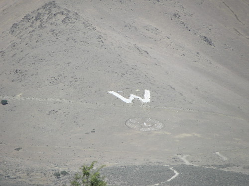
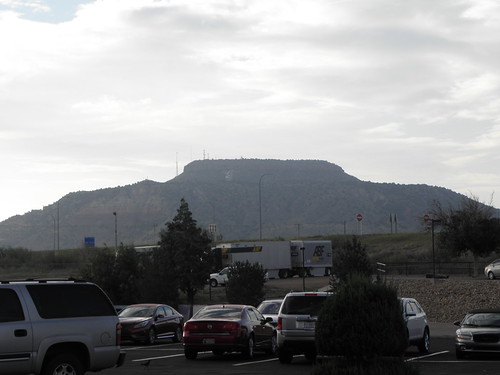
Arrived in Battle Mountain well early in spite of stops to refuel the Ratmobile and myself.  From the car park of Burger King in Winnemucca you can see this:

That's the only two photos I took today that actually made it into the camera's little Anbarick branez.  Soz.  On arrival much hanging around and exchanging vulgar badinage with other early arrivals.  And thanks for the socks1, Erika!  Dinner at the Mexican with John Jackson and the entire Lem tribe, then back to the Super 8 for more trash-talking and Tea.  I may get an early night tonight, not to mention a lie in tomorrow, as from Monday onwards it'll be audax o'clock starts chiz.  If the weather behaves itself, and the medium-term forecast is, to put it bluntly, Not That Good.  Chiz encore.
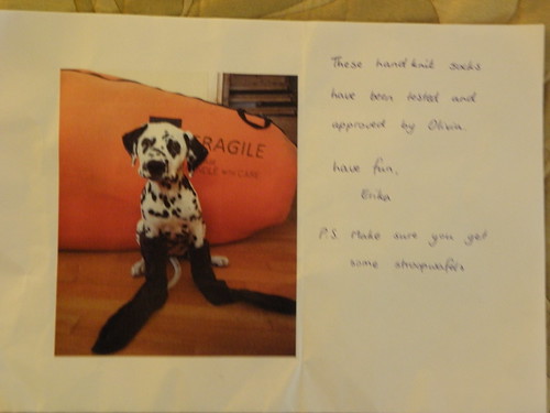
  1. Actually I have now taken three successful pictures today.  Here is the third:
    I want more money for this job...
    You may need to click to embiggen or use the link to the Flickr Stuffs, but the text reads:
    These hand knit socks have been tested and approved by Olivia.
    Have fun
    Erika
    P.S. Make sure you get some stroopwafels
    I assume Olivia is the hound trying to maintain some semblance of dignity in the face of almost insuperable odds.

Friday, 9 September 2016

Day 14: Santa Rosa CA - Susanville CA

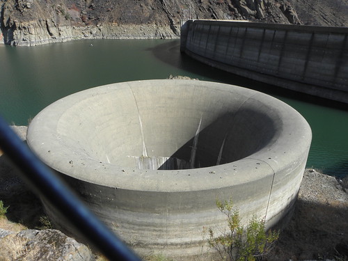
Right, Emily, take me to Susanville and don't spare the wossnames, or use the freeways!  Well, with a slight diversion.  This led to a real cross-country affair with short stretches on main road through the vineyards interspersed with twisty narrow stuff that wouldn't be out of place if transplanted from California to the North Downs.  The diversion was coz I wanted to see this Deeply Scary Thing:
The Glory Hole, Lake Berryessa
Unfortunately, because California has been stricken by drought somewhat of late, it currently looks like this:
Chiz!
The black thing in the second picture is part of the tall fence they've put up since the first one was taken, presumably to stop clots like ["Deceased of Davis CA" - Ed.] from swimming near it and being killed utterly to DETH when sucked down the two-hundred foot vertical pipe.

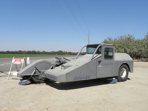
A few miles downstream you emerge onto the flatlands which run some considerable distance in most directions save west from San Francisco Bay.  Very agricultural and all in all like a drier version of the Fens.  Long stright roads with sudden right-angle bends, the main difference being that the canal you crash into is to bring water in rather than out.  One particularly popular crop is walnuts.  Have you ever thought about how walnuts are harvested?  No?  Well, with one of these:
This bizarre-looking contraption is not the bastard offspring of a liaison between a Bond Bug and an anti-aircraft gun but rather an Orchard-Rite® tree shaker.  I presume it shakes the tree and when then walnuts plummet to the ground in a fine display of Sir Isaac's universal wossname, hoovers them up with the brush thing on the left as you look at it.  This one is for sale, should you feel the need to own such a machine.

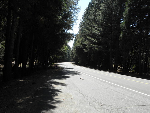
After quite a lot of flat fields etc, Emily takes me straight through Chico and out the other side, into the Sierra Nevada.  Trees and mountains.  And roadworks.  Mr Larrington is caught somewhere towards the back of the queue and does not relish the prospect of being stuck behind logging trucks, motorhomes and dawdling cockwombles so on reaching the other side, stops for a fag and thus has the next twenty-five miles entirely to himself.  Twenty-five miles of Stuffs like this
only with more corners.  The part of my primitive hindbrain that is forever "Top Gear" viewer, thinks how nice it would have been to have accepted Chris the Imp Of Satan's offer of a Corvette during those twenty-five miles, but then the other part, which is forever Yorkshireman, kicks in and says Yes, it would have been more fun but not four-and-a-half-thousand dollars-worth.

Susanville lies at the bottom of the eastern side of the mountains, which turn into the desert not very far \ thataway.  And because there's bugger all out there \ the only feasible route to Battle Mountain from here is down to Reno and then on I-80 the rest of the way.  The good news is that the Super 8 in BM e-mailed me a confirmation of my room booking today.  The bad news is that it reckons I'm arriving today and leaving on the Saturday, which is one day out at both ends.  I'm sure it'll all work out in the end.

Thursday, 8 September 2016

Day 13: Morro Bay CA - Santa Rosa CA

I stayed here last night:
This is not actually true, but the manager's name was Norman.  First Scientologists and now this.  I'm lucky to be alive, I tell you!

What is Morro Bay famous for, then?  Well, my chums Craig and Vicki live hereabouts but:
  • I forget until Jun Nogami reminded me, which I didn't see until I got here, and
  • They spend a lot of time mucking about in boats, or at least a boat, so they might not have been in anyway.
If you want boats, Morro Bay has 'em:
Deep Submergence Rescue Vehicle "Avalon", yesterday
And a rock:
Morro Rock, yesterday
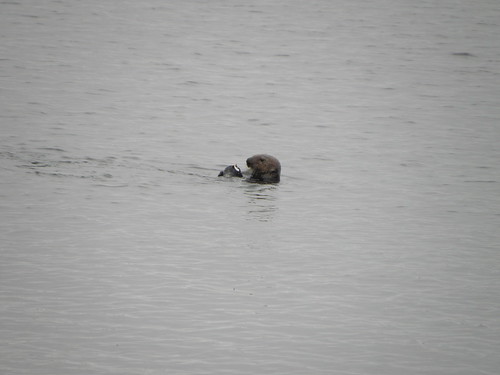
which is a volcanic plug like the wossname that Edinburgh Castle sits on, but less likely to feature on the lid of a tin of shortbread.  And there's a power station, but no-one wants to see that.  Alistair MacLean though it was a nuclear one, but it isn't.  And a one-legged seagull, but everywhere at the seaside has one of them.  And Wikinaccurate says there are sea otters, and this is actually Trufax, although the one I saw was too far away to be able to tell the difference between a sea otter and a seaweed, at least on camera.

Off up the PCH.  This would be wik on a sunny summer day, except that in summer the number of clueless grockles on the road would be three orders of magnitude higher.  As it is, every time you stop to smoke a fag/take a picture of a bridge/look for sea otters you get overtaken by the same Kia Rio, occupied by people who have never seen the sea before.  Her name is Rio and she doesn't so much dance on the sand as lurch around the corners like a landlocked walrus.

Edit: There has obviously been one of those "100 Things To DO Before You Cark It" articles in the Sunday papers/social media/communication from the Pope reading "Drive in the PCH in a Mustang".  Since every third car heading south had a pony badge, the Ford dealers in and around San Francisco are probably richer that William Randolph Hearst, whose castle, incidentally, I did not visit.

I went to Carmel, just to see if it was as horrible as the pictures suggest.  It is.  Nowhere as twee exists this side of the Cotswolds, and if Clint Eastwood was still mayor he'd find the owner of the Citroen 2CV and ask them whether they felt lucky, punk.

Things get a bit flat, dull and agricultural after Monterey which, at least according to Professor Larrington, is a prime spot for sea otters.  Just north of the place is Moss Landing Harbor, which has a bridge.  And sea otters.  No, really:
A sea otter, having lunch
All together now: squeeeee!
You will probably have to do the "click-to-embiggen" thing to get the full ottery goodness.

North to San Francisco, which is awash with traffic if you are sticking to not-the-freeway.  But it is a place of tremendous cultural significance because this:
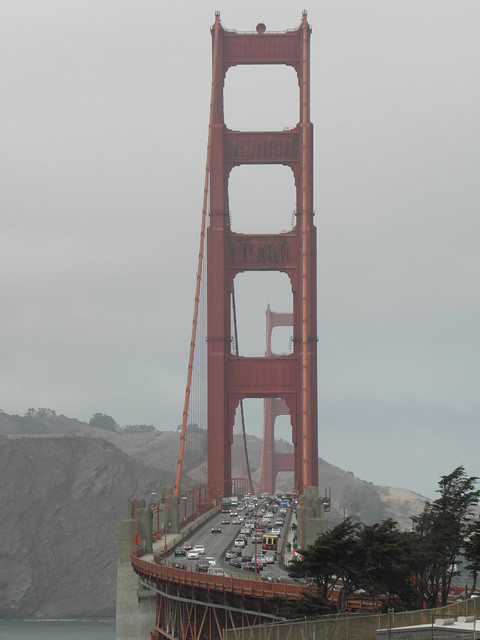
BRIDGE!!1!
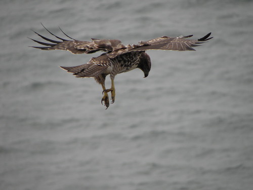
It was freezing and blowing a gale, so I did not linger except to observe this fowl showing off:
About two seconds after pressing the tit it descended on a small furry animal somewhere down the cliff and as it didn't come up again while I was watching, I presume it was sitting out of sight biting the head off its mid-afternoon snack.

After you get over that ^^^^ bridge you go sort of inland a bit and as is frequently the norm in this part of the world, it gets sunny and warm.  And full of traffic.  Not on the bridge itself either, but for most of the fifty miles from there up to Santa Rosa.  This is wine country, so I am shortly going to sit down with a nice cup of tea.
Wednesday, 7 September 2016

Day 12: Pasadena CA - Morro Bay CA

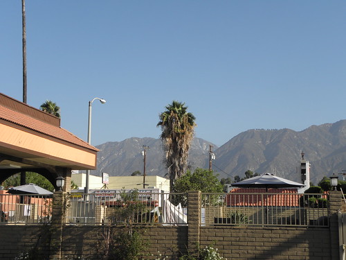
You will, no doubt, be delighted to learn that L Ron Hubbard's minions did not bust through the party wall in the night and brainwash me into their fiendish cult.  To prove that at least some things are right with the world, here is the view from my doorstep this morning:
Of course the SoCal architecture, like the nasty faux-adobe Stuffs found in New Mexico, would be more appealing if you didn't know it was stamped out by the truckload in a factory in Cincinnati1.  If you turn left before reaching the palm tree you are on Colorado Boulevard, which was part of Route 66 but a bit further up you can follow about twelvety different authentic roads and still eventually end up in the same place.  One of them crosses this:
BRIDGE!!1!
what is the Colorado Street, or Suicide, bridge, but having done the necessary for young CrinklyLion I doubled back and took the Arroyo Seco Parkway.  This was the first freeway west of the Mississippi and wouldn't pass muster by current standards, especially the exit "ramps" which are allow about half a car length to slow down before pitching you into a ninety-degree turn and a stop sign.  The speed limit is 55 mph, but overall it's no worse than that corner where the A406  crosses the railway bridge in Neasden, just by IKEA.  You know the one I mean.  And much like the A406, it soon ends up at a crawl, though at least you're crawling towards Hollywood rather than Cricklewood.

Once you're off the thing, you're on Sunset Boulevard.  It goes on for miles and is ghastly.  Eventually you do a sort of left/right wiggle and get on Santa Monica Boulevard instead.  It goes on for miles and is ghastly.  Serj Tankian2 sang of:
All you maggots smoking fags on Santa Monica Boulevard3
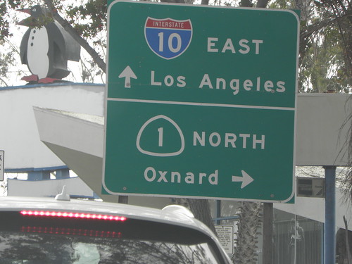
but I guess they only come out at night. Santa Monica Boulevard goes through Beverly Hills which, you've guessed it, is ghastly only with Ferraris and Bentleys instead of pickups and rusty old Japanese Things.  And I didn't see any movie stars or other famous types either chiz, though that might possibly have been Stevie Nicks in the white 911 Turbo.  After a hundred years of stop-start nonse, turn left on Lincoln, go two blocks down to Olympic and there it is; the official end of Route 66.  There may be a sign but traffic was so heavy you'll have to make do with this:
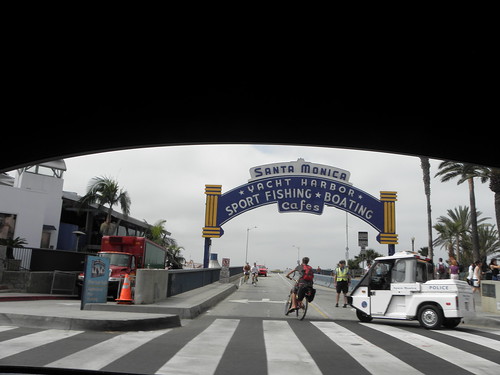
I don't know what the penguin is for either.  A turn around the block and back onto Santa Monica to where it meets Ocean.  And the ocean.  The provisional end is at Santa Monica Pier, which looks like this:
but I couldn't be arsed to investigate further because it had taken about three hours to get this far.

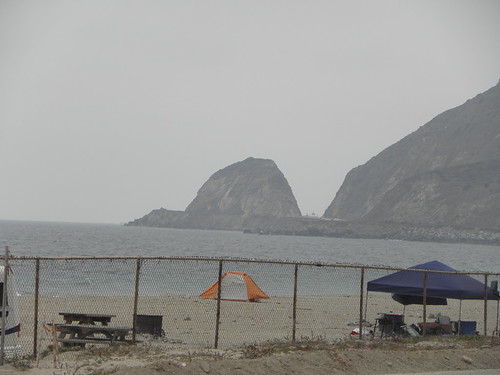
Once you reach Ocean Avenue you can turn left or right, as going straight on is a bit damp all the way to China.  I turned right and headed up CA-1 aka the Pacific Coast Highway.  I do not know whence cometh all this Baywatch Beach Boys Bollocks about the sun-drenched coast of Southern California because as soon as you reach the seaside the temperature drops by anything up to a lot and the mist rolls in and anyone on a surfboard is wearing a wetsuit.  This is one of the sunnier bits:
Money back, please!  So up the PCH we did go, and when the road strayed away from the shore it got warm and when it went back seawards it got bloody freezing and it did quite a lot of the former, not least because Vandenberg Air Force Base gets in the way and whoever thought putting a huge SEEKRIT air force base on a stretch of foggy coastline was a good idea was probably the brother-in-law of the original landowner.

Morro Bay is roughly halfway between The City of Angles and San Francisco and the map suggests that the good bit of the PCH starts here, with history and scenery and sea otters that make you go "Squeeeeeee".
Pope Greg: They are not Angles but Angels, clot!
ML Maire: I'll be the judge of that, hat-boy!
And I will not be incarcerated for fraud in the nearby "California Men's Colony" either, because although my credit card was sneered at by the hotel's Infernal Device, the Mobil station up the road was quite happy to accept it when selling me fourteen gallons of "gas" just now.
  1. Other towns with precast concrete panel factories are available.
  2. The singer with System Of A Down, that's who
  3. A line which causes equal measures of consternation and bafflement to USAnian audiences

Tuesday, 6 September 2016

Day 11: Needles CA - Pasadena CA

Okie Chorus: Yay! We haz crossed all teh Scorching Plains™ and are now at teh Mitey Colorado FTW!
Okie #1: Yes! Look! [Points] California, teh Promised Land!
Teh Promised Land, yesterday
Okie #2: Get tae fck, Okie #1! Mi truck haz b0rked down se7en tiemz, Mrs Okie #2 haz run off wif teh rodeo cowboy in Winslow and we haz been stalked by John fckng Steinbeck all teh way from Texas!!1! Where iz teh palm treez? Where iz teh oranj grovez? Where iz teh WORK?
Okie #1: Er...
Okie Chorus seizes Okie #1 and throws him into teh Mitey Colorado

Now read on...

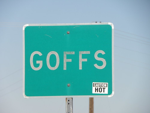
The builders of the early Route 66 were members of the Smart Party and made it more or less follow the railroad across the desert west of the Mighty Colorado.  I-40 stooges off into the hills to do its own thing.  The railroad depots along this stretch were named Klinefelter, Java, Ibis, Homer, Goffs, Fenner, Essex, Danby, Cadiz, Bristol and Amboy i.e. in alphabetical order. Presumably to make sure the train drivers didn't get lost. Some of them still exist in one form or another. Here, for e.g., is one specially for Miss von Brandenburg:
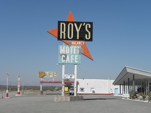
while this is at Amboy and, apparently, quite famous:
It's supposed to be in mid-renovation by some chicken magnate from further west, but it still looks a bit sub-par, as do the two old cars - an Imperial and a Packard - round the back.  I love the Imperial's tail lights:

Scene: Detroit, 1954
Styling Dept: ...and here is the new for 1955 Imperial!
The Mgt: Did you forget something? Like, y'know, rear lights?
Styling Dept: I, er, oh! Bugger!

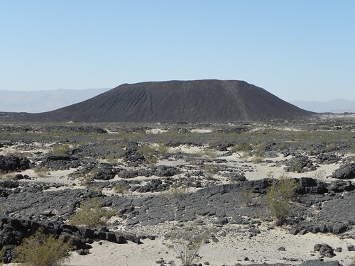
but apparently no, they were meant to look like that.  Also near Amboy is the Amboy Crater:

As you can see, it is not very crateresque, but rather a cinder cone surrounded by lava fields.  There may be a crater in the middle but the noticeboard at the start of the trail leading in that general direction said "Allow three hours" and the temperature was already into the thirties.  No thanks.

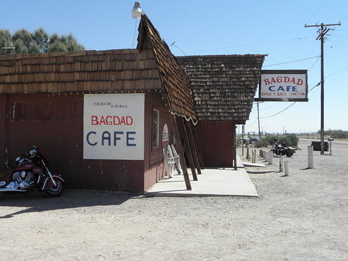
If you are a connoisseur of FOREIGN films you may have seen Bagdad Cafe, a 1987 German language wossname.  Well, here is the caff in question:

It's in Newberry Springs.  Fifty miles from Bagdad, but they couldn't shoot it actually in Bagdad because this:
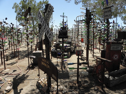
is all that's left of the place.  There's a lot of that sort of thing around these parts but fortunately there are also nutters willing and able to relieve the monotony with roadside attractions like Elmer's Bottle Tree Ranch:
Now, when Hunter S Thompson wrote:
We were somewhere around Barstow on the edge of the desert when the drugs began to take hold
I think the drugs may actually have taken hold some time previously, as Barstow is not on the edge of the desert, no, it is smack in the middle. Of it.

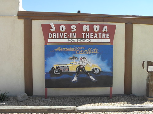
Down to Victorville, home of the California Route 66 Museum.  It was shut.  But it does have a nice mural:
Though the said mural transgresses the Unwritten Law, which is that every cinema, or depiction of one, along the entire two and a half thousand miles of Route 66, must pretend to be showing Pete's Dragon.  I have no idea why.

After Victorville it's back on the Interstate - I-15 now - for the run over Cajon Pass.  I have read enough accounts on that Internet, that they have now, of the utter scariness of Cajon Pass and the lunatics who drive over it that I was expecting a Californian remake of the entire Mad Max franchise, but it's actually no worse than the drop into Salt Lake City on westbound I-80, or the A406 at Hanger Lane.  Better surface than the A406 too.  You're supposed to peel off and sneak into San Bernardino the back way, but some unfortunate had stuffed his 18-wheeler into the bank on Cajon Boulevard causing a Highway Patrol officer to make "go away" gestures at anyone approaching the wreck.

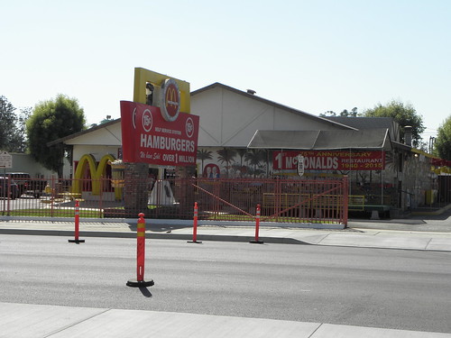
San Bernardino is home to this:
Where all the trouble started...
which is the location of the first-ever branch of The Scottish Restaurant.  And it pretty much marks the eastern edge of the Los Angeles conurbation.  From here westwards is an exercise in how many sets of traffic lights you can stand before you give up on Route 66 and take the nearest available freeway.  It's forty miles from San Bernardino to Pasadena - which took two hours - and that's still not LA proper.  That starts about ten miles west, and another twenty on top of that to Santa Monica, the end of the road and the Pacific Ocean.  One of the 'burbs you pass through is San Dimas.  I did look out for a couple of slackers hanging out at the Circle K store but they were obviously off being excellent elsewhere today.

So, end of the road tomorrow, assuming I make it through the night.  Because the room next door is occupied by members of the Flag Service of the Church of Scientology.  I do not know what the Flag Service of the Church of Scientology does (apart possibly from separating credulous idiots like Tom Cruise from their money) and I'm not sure I want to either.  Though it appears to involve driving here from Florida in a big box van with "Flag Service" written on the side in large friendly letters (and "Church Of Scientology" in much smaller ones).

Monday, 5 September 2016

Day 10: Winslow AZ - Needles CA

A game of two halves today, Gary, as there is a good deal of I-40 involved to start with before western Arizona allows you to drive almost 160 miles on the real thing before getting back on the Slab one sizeable river away from California.

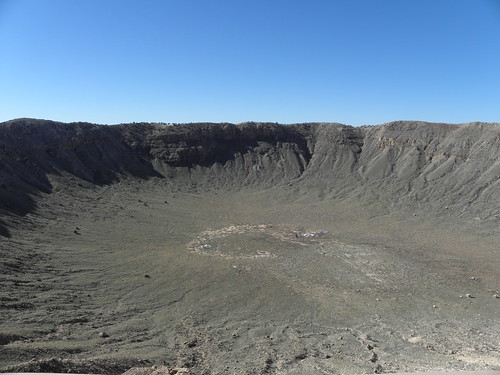
First port of call today was the Meteor Crater.  Went here in 2003 too, and not much has changed in that the crater is still 1.2 km across and more than 160 m deep, as it has been for the fifty thousand years since a chunk of red-hot space junk ploughed into the Scorching Plains™ of Arizona at somewhere north of R171, or about 26,000 mph in old money.

A hole in the ground. Arizona. Monday.
Back onto the freeway for a couple of miles before exiting for the mortal remains of Two Gnus, so named because it lay on the migration route of the South-Western Wildebeest from the mountains north of Santa Fe to its winter home by the Colorado in southern Arizona.  At least, that's what the bloke who sold me this jackalope said.

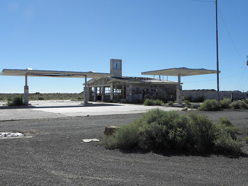
Oh, Two Guns.  As you were.  There used to be quite a thriving little community here, and now there isn't, just graffiti-covered ruins.

Then down the road to Twin Arrows, which is about all you'll find there.
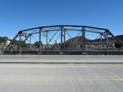
Apart from a huge casino resort place operated by the local Hopi tribe, obv.  The first major bid for freedom comes at Winona which, like Winslow, is famed in song and verse2; Bobby Troup's 1947 ditty "(Get Your Kicks On) Route 66" advised us "Don't forget Winona" and as a qualified versificator he wouldn't have just bunged the place in because it sort-of-rhymes with "Arizona".  Would he?  There's not much there, to be honest, except this rather nice bridge:
BRIDGE!!1!
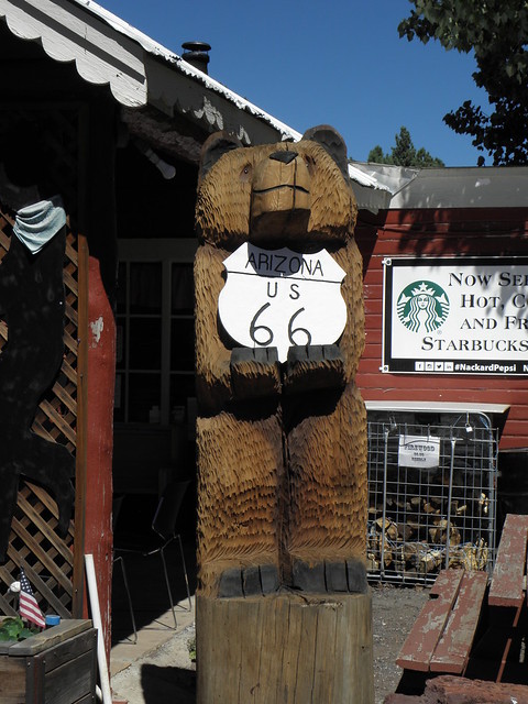
The old road climbs steadily up towards Flagstaff and, praise be, does so through pine forests - probably the first Proper Trees since central Missouri.  Post-Flagstaff sees one dumped back on the interstate for most of the run to Williams, though there's a nice detour to Parks and its photogenic General Store and BEAR.
Williams hav a very interesting history if you are interested in hist. which few boys are.  Initially a railroad town - it's the jumping-off point for the line north to the Grand Canyon as well as being on the main east-west line which we've been more or less following from Albuquerque.  It was also the last town on the original Route 66 to be bypassed, when The Man finished I-40 in 1984.  And the bloke in the gas station was impressed with the Ratmobile.  You got more dirt on yer sports car than most big trucks, he opined.  You should see the other side, I told him.  If the place hadn't been busy he'd have been out the door with his phone camera at the ready.

Six miles of 6% downhill bring the route out of the pleasantly cool forests and back onto the Scorching Plains™ before the turn onto the long stretch of the old road.  Either side of Seligman the local Route 66 Association have erected a whole sequence of replica Burma-Shave signs, but you have to Park Like A Fud to be able to take pictures.  Of them.  The results may been viewed using the photo Linky SCIENCE on the left.  The guidebooks wax lyrical about Seligman, but it looks to me like a fairly ghastly tourist trap.


More altitude is lost on the descent of Crozier Canyon, which brings you out around Kingman, more than a thousand metres closer to sea level than Flagstaff.  Some careful navigation then takes you onto the Oatman Highway, over the Sitgreaves pass.  The guidebooks wax lyrical about the wiggly bit but it's not very long, it is very narrow and it does have lots of blind corners.  Nice view from the top though:

The guidebooks all wax ect. ect. about Oatman but as far as I can tell it's like Seligman but with less parking, a single-lane main street and feral burros begging for sandwiches outside all the shops3.  Swing south shortly afterwards and descend into what it now the Scorching, er, Valley Below, to pop up alongside some bridges over the Mighty Colorado familiar from 2014's passage through these parts.  Crossing any of them will have the traveller finding themself in California, though it's best to stick to the road bridge as the Burlington, Northern & Santa Fe railroad likes to send a lengthy goods train through every few minutes.  Right past tonight's hotel.  Bah!
  1. R, as any fule kno, is a velocity measure, defined as a reasonable speed of travel that is consistent with health, mental well-being and not being more than, say, five minutes late. It is therefore clearly an almost infinitely variable figure according to circumstances, since the first two factors vary not only with speed taken as an absolute, but also with awareness of the third factor. Unless handled with tranquillity this equation can result in considerable stress, ulcers and even death. R17 is not a fixed velocity, but it is clearly far too fast.
  2. Lie. The poem in question was about Winona Ryder and her conviction for shoplifting.
  3. Trufax!

Sunday, 4 September 2016

Day 9: Albuquerque NM - Winslow AZ

So.
Farewell then.
Scorching Plains™ of New Mexico.

It would seem that
You are behind us now.

But are you?

["Yes. Yes, they are" - Ed.]
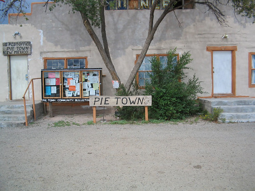
Well, not straight away as the pre-1937 alignment of Route 66 avoids the main east-west corridor currently occupied by boring old I-40 and instead shoots off south of Albuquerque before looping back north across the Scorching Plains™ to rejoin the interstate at Mesita, which is out of Scorching Plains™ territory and into what can best be referred to as badlands.  There is not much to be seen along this stretch, to be honest, unless you're hellbent on following the guidebooks to the letter.  And if you do that you might end up somewhere completely not on Route 66 at all, such as Pie Town.  Which I visited in 2003 and thus saw no need to visit again.
Pie Town NM in 2003, yesterday
One notable thing was this:
EX-TER-MIN-ATE!
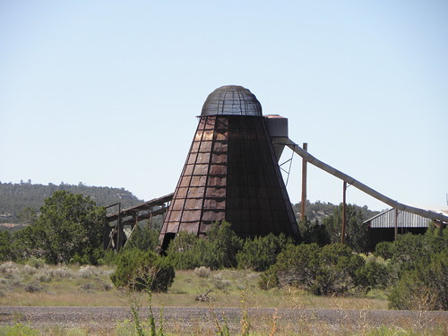
which is, let's face it, a Dalek.  Since New Mexico has not been exterminated I can only suppose it serves some other purpose these days, though Dog knows what.  And this:
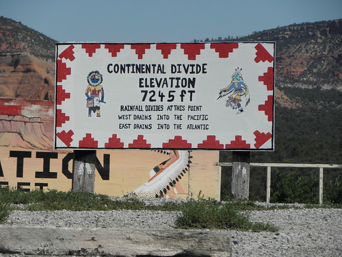
which sometimes claims to be the highest spot on the whole road, but isn't because that's somewhere just west of Flagstaff.

Gallup saw the two thousandth mile of the trip roll over on the way into town.  It has claimed to be the World's Largest Indian Trading Center in the past but if you're not in the market for that kind of thing you may instead find yourself wondering why a local scrappy is advertising his business with this:
Ron Weasley never did get the hang of parking
Yes, a Ford Anglia 105E.  Colour me baffled.

So.  Arizona.  Initially it's promising:
Contemplate the non-Plainlike aspect of the landscape hereabouts.  Shortly after crossing the state line you pass the Painted Forest and the Petrified Desert, or perhaps it is the other way round.  I went there in 2003 as well.  It was raining.  What do petrified forests see to make them all so scared?1

Omnes: So, ML Maire, duz teh Arizona haz teh Scorching Plains™ 2?
ML Maire: That has been left as an xersize 4 teh readuh!

Next port of call is Holbrook, which is most notable for being:
  • the current eastern end of the (official) American Truck Simulator universe, and
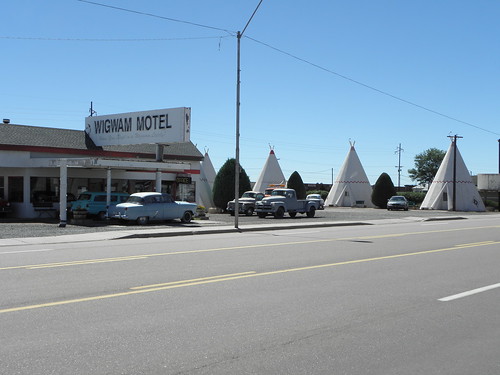
  • the home of the famous Wigwam Motel
In the former you can stay at the latter but in the real world it's not so easy and often requires booking a fortnight in advance.  Anyway, a Wigwam Motel looks very much like this:
The tepees are made of concrete, BTW.  It was built in 1950 and used to be one of seven on Main Street USAnia, but ended up being the only one left until the one in San Bernardino was done up.  There are some wik old cars dotted around the place too.  After Holbrook is the eagerly anticipated Jackrabbit Trading Post:
HAIRY JAPANESE BASTARDS!
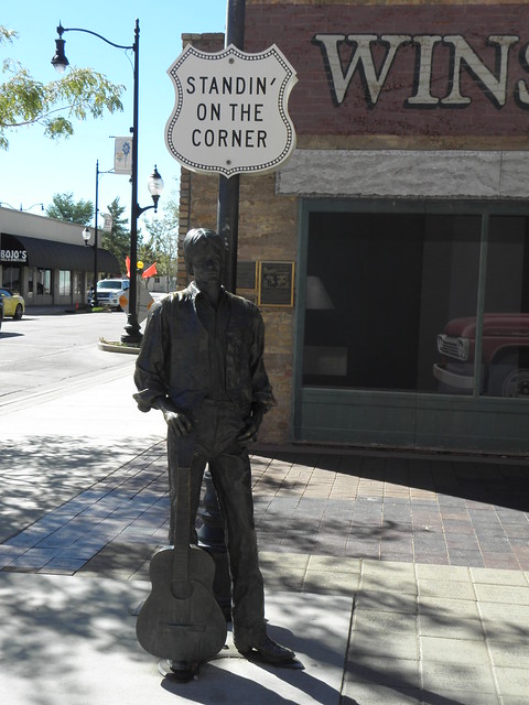
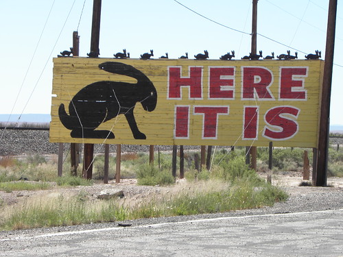
There used to be a myriad of signs all along Route 66 giving the distance to the place but like much along the way they have gorn, vanished, disparu like Mother's mink.  And finally into Winslow, famed in song and legend.  Well, song anyway.  Thanks to J Browne and G Frey having mentioned it in "Take It Easy", wot was the Eagles first single.  Which eventually caused the place to do this:
Only took 'em 27 years.  Anyway, I have been to Winslow before in, you guessed it, 2003.  And I thought I stayed in the same hotel as I'm in tonight, but am clearly mistaken, because the. car park is a different shape.  And I had a visitation from the P*nct*r* Fairy.  In 2003, not today.  That would be too much.  California tomorrow, and I know from a Several of previous visits that the first bit of it contains Scorching Plains™ in abundance, otherwise known as The Desert.

Since by the time this is read anywhere east of the Mid-Atlantic Ridge it will already be tomorrow, I shall take this opportunity to wish Professor Larrington a happy birthday.  Whether she reads this is a different matter altogether, as she is on her holibobs in Georgia.  The one famed for its moustachioed communist dictators, not peaches and the Ratmobile.
  1. Readers who recognise the origin of that joke are invited to keep their traps shut.

Saturday, 3 September 2016

Day 8: Tucumcari NM - Albuquerque NM

So, New Mexico, where men are men, rocks are red, Plains are Scorching™ and small furry animals are heavily armed.  I saw a T-shaped shirt today which read:
New Mexico: It's not new and it's not Mexico
Perhaps there is a compromise to be had if USAnia takes leave of its senses and elects the appalling D Trump as President in November, viz. El Presidente agrees to pay for the wall that Trump seems so keen on as long as the border is restored to the state it was in before the 1848 Treaty of Guadalupe Hidalgo.  This would, of course, mean the return of California, Arizona, New Mexico, Utah, Nevada and parts of Colorado, Wyoming, Kansas, and Oklahoma to Mexico but I'm sure that's not an insurmountable issue1.
Mesa.  Occupied Mexico.  Saturday.
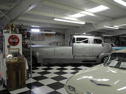
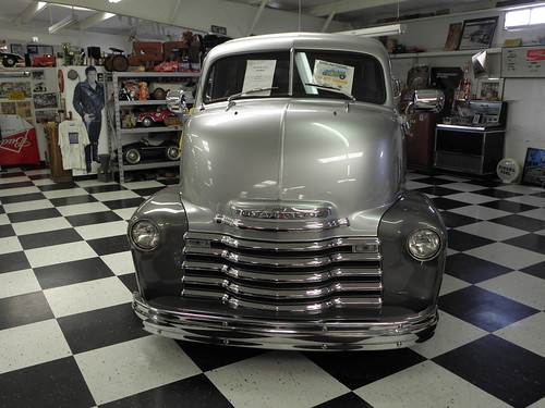
A bit of unavoidable I-40 to start with but I'm soon back on the frontage road parallel to the interstate over to Santa Rosa and a pause at the Route 66 Automobile Museum.  Thirty-odd vehicles of varying degrees of coolness, plus a Nissan 280Z.  Dog knows what that's doing there.  Some are for sale, so if you've got a spare ninety-five thousand dollars burning a hole in your pocket just pop over and drive away in a very shiny 1949 Ford Woodie Wagon.  My favourite has to be this:
which started life as a 1947 Chevrolet COE truck but has had a few tweaks over the past seventy-odd years including, though not limited to, a 454 CID (about 7.5 litres) V8.  Sadly this one's not for sale chiz.

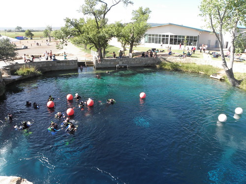
The other main attraction in Santa Rosa is the Blue Hole, so called because it's a hole.  And it's blue.  Or at least it is when the sun's out.
A Blue Hole, yesterday
It's about eighty feet deep and popular with scuba divers and not very warm.

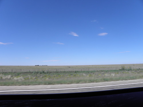
A bit further west and you have a choice of Route 66s.  Later incarnations went more or less straight west across the Scorching Plains™ to Albuquerque but before 1937 the road described a big loop to the north, passing through Santa Fe in the process.  I chose the older version as I've been across those Scorching Plains™ before and most of them were a tad dull.  Not that the route north is much better, at least to start with.
O noes! Another Scorching Plain™
But you soon start running into what is essentially the bottom end of the Rockies, which have strayed south from their ancestral homelands of Colorado, Wyoming and Montana, and thus by a circuitous route one ends up in Santa Fe. The centre of Santa Fe would be dead nice to wander around for a bit if you could find anywhere to park but on a sunny Saturday of a bank holibob weekend it was not to be.

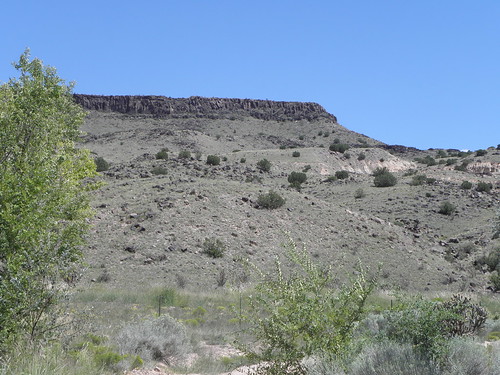
By now the route is running parallel to, or underneath, I-25, but a noteworthy detour can be made to La Bajada Hill.  This is a La Bajada Hill today:
From 1926 to 1932 66 went over it, before someone saw sense.

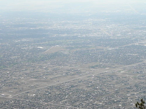
I bailed from the official route some miles further south partly so as not to have to fight through the northern suburbs of Albuquerque but mostly to ascend the Sandia Crest.  The Sandia Crest is a lofty wossname that rears a vertical mile or so above the Scorching Plains™ below and in doing so reveals itself to be yet another h>10,000 foot road I missed in 2011 (there's another one on the east side of the Sierra Nevada near Mammoth Lakes too chiz).
Albuquerque from quite a long way up
The main problem with climbing a gert big hill like that is that it plays havoc with one's carefully calculated fuel consumption, er, calculations and so it came to pass that the Ratmobile claimed to have thirteen miles of "gas" left in its tank when I set off down again, which was an altogether too uncomfortable echo of Pike's Peak two years ago.  Doubly so when Emily decided that the nearest "gas" station was twenty-three miles away.  Fortunately she changed her tune when confronted with the evidence, in the shape of a twelve-pump Shell operation some thirteen miles from the top and with seven miles still on the clock.  And it's not often you see one of these filling up at the pumps either:
Western Super Mare

  1. Lie.