Friday, 8 September 2017

Day 10: Klamath Falls OR - Topaz Lake NV

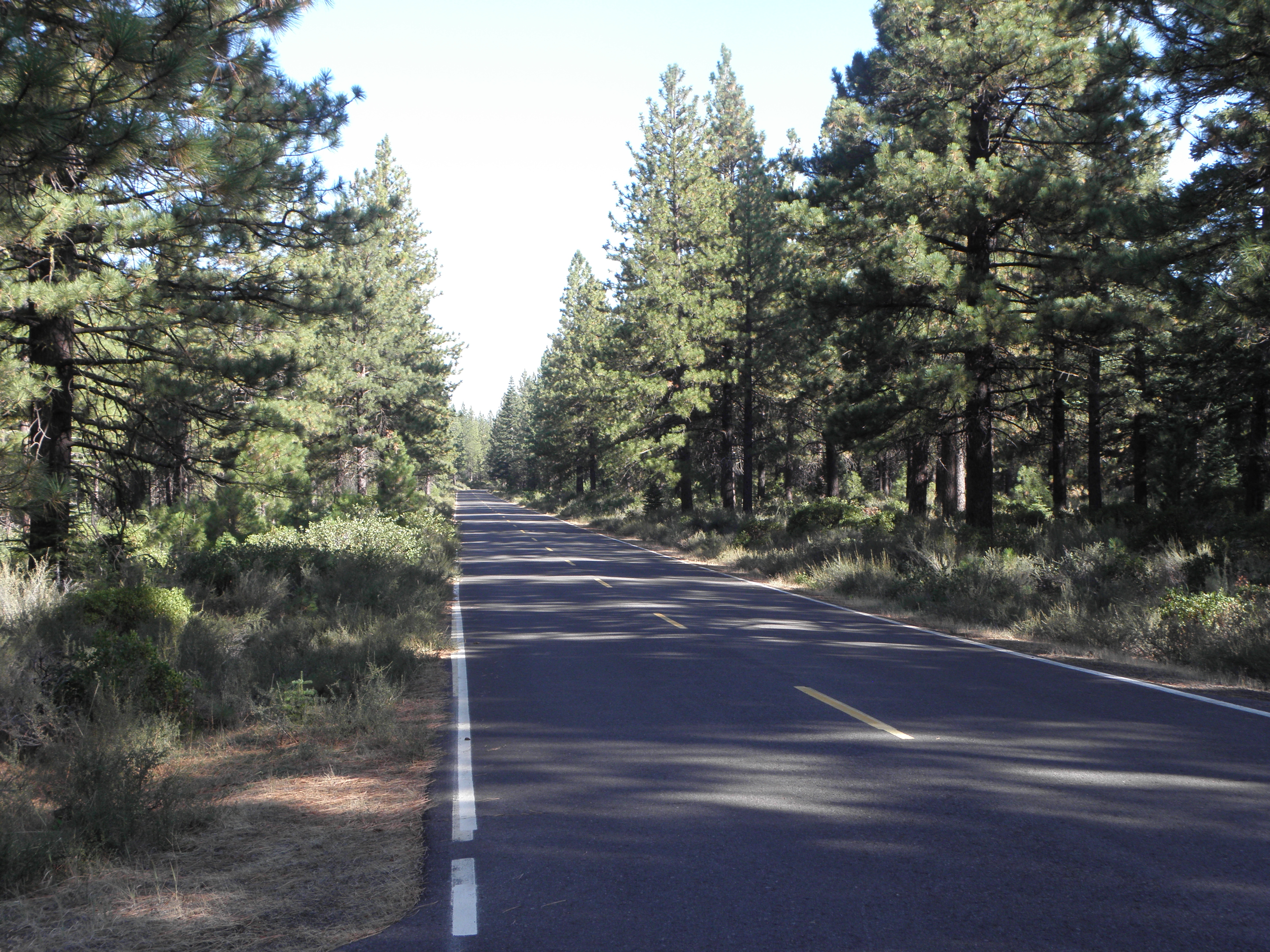
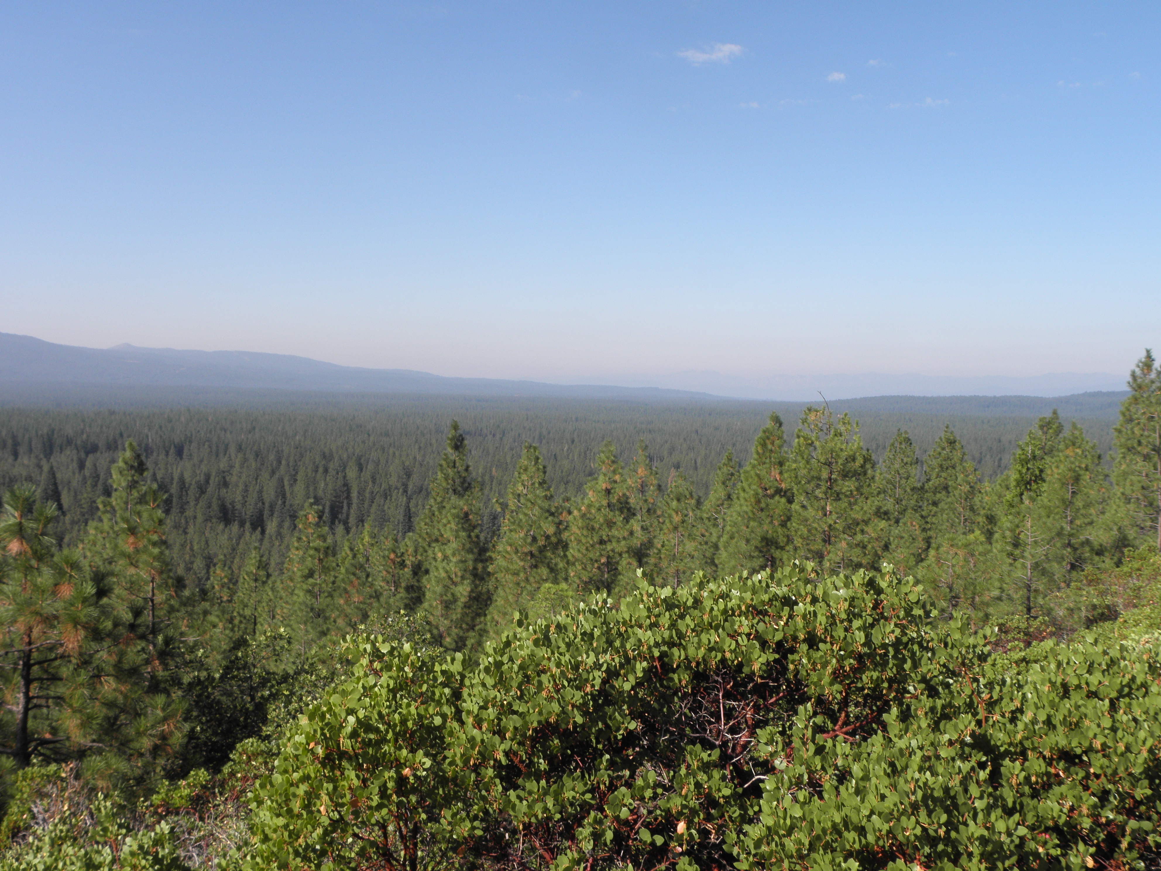
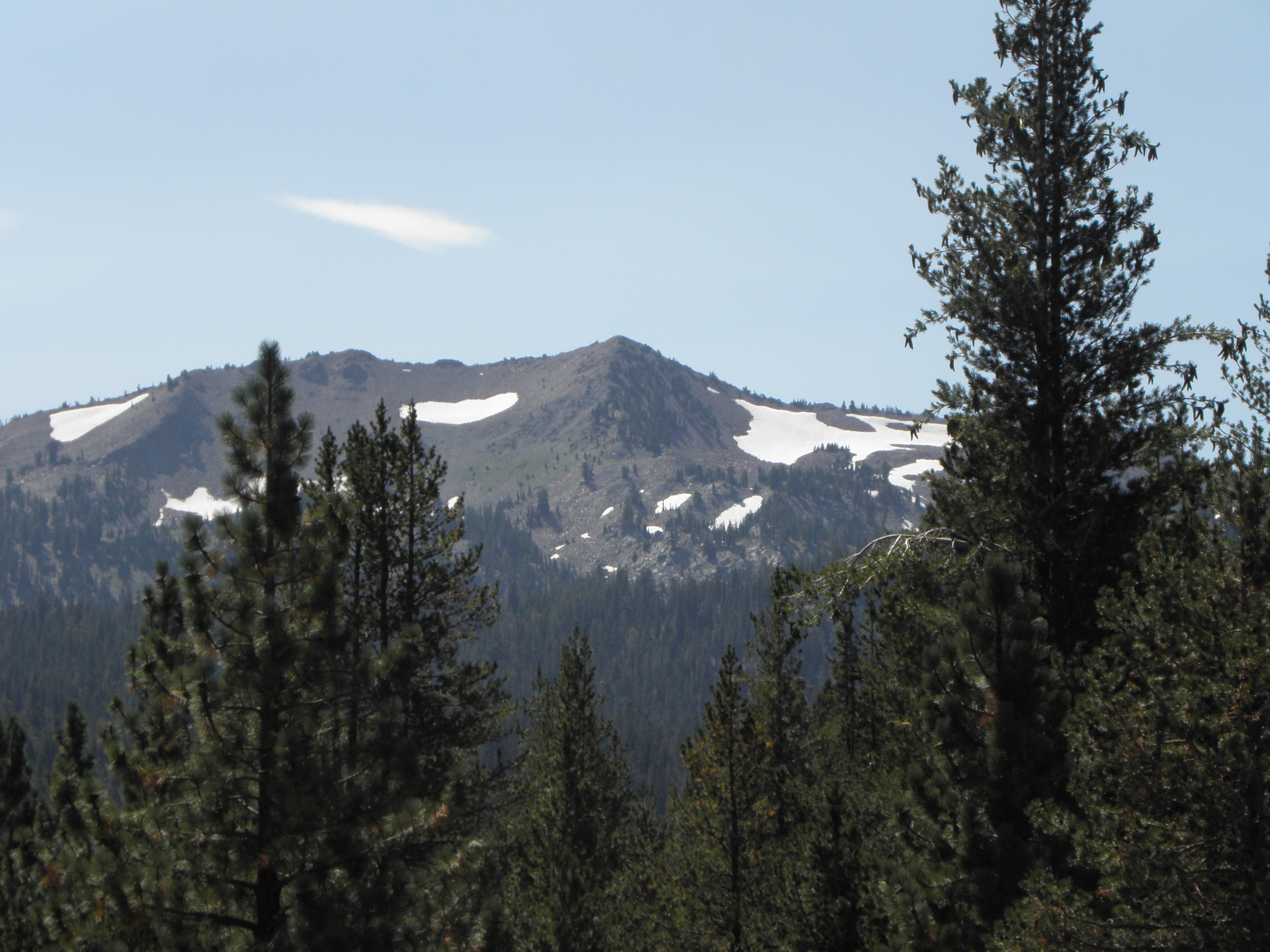
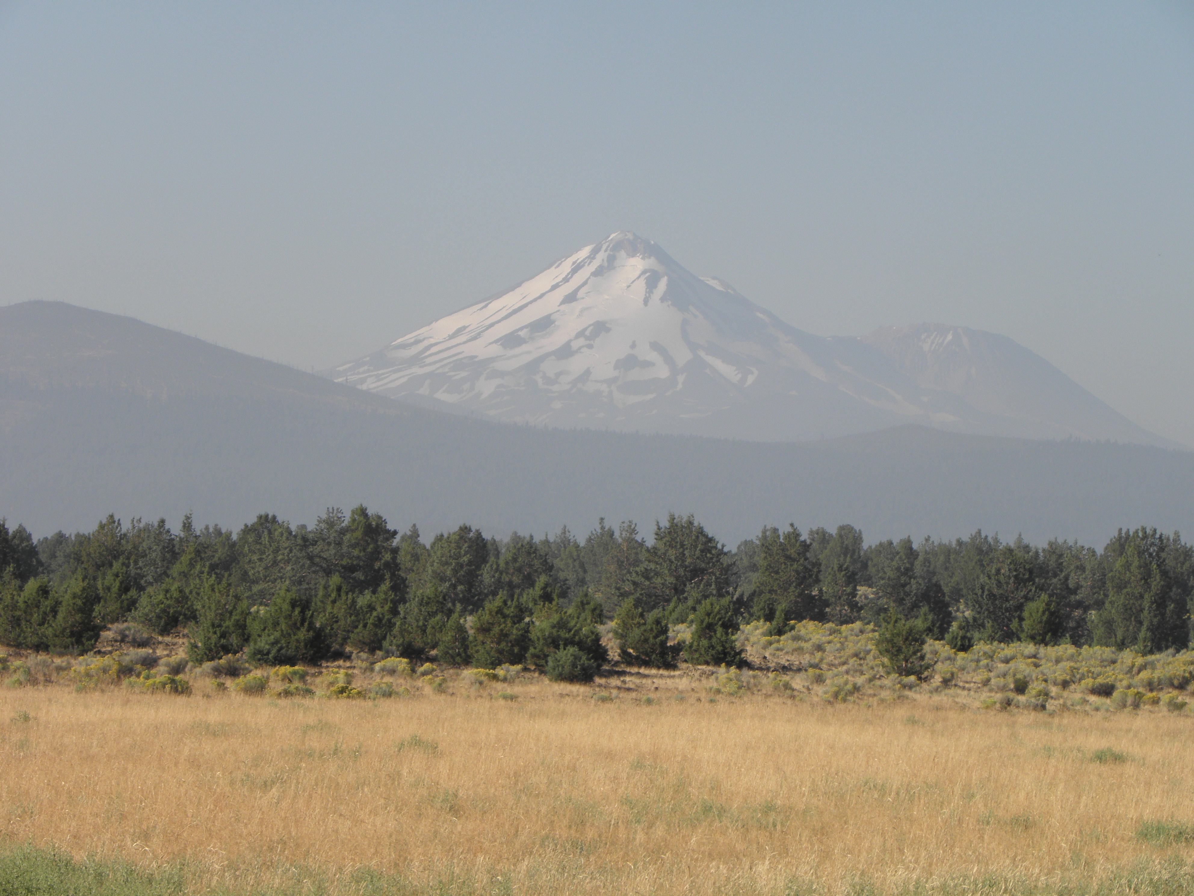
Today, or at least the first three-quarters of it, was everything yesterday should have been and wasn't.  Though probably not for the chap who had managed to miss a junction completely and jackknife his tanker1 rig into the ditch just south of Klamath Falls.  Through the woods nearly all the way, in spite of that great sillybollocks Mr Google insisting that the only way from Klamath Falls to Lassen Volcanic National Park was to head all the way down to I-52 then double back on US-89 rather than take the perfectly good and very paved US Forest Service through various bits of, er, forest.  I missed the deer too.  Some terrific views from along there too:
I think this is Mount Shasta
Note insane amount of traffic...
Use your Junior Pocket Microscope (Model 3a) to spot the three white herons
Trees, California, Friday
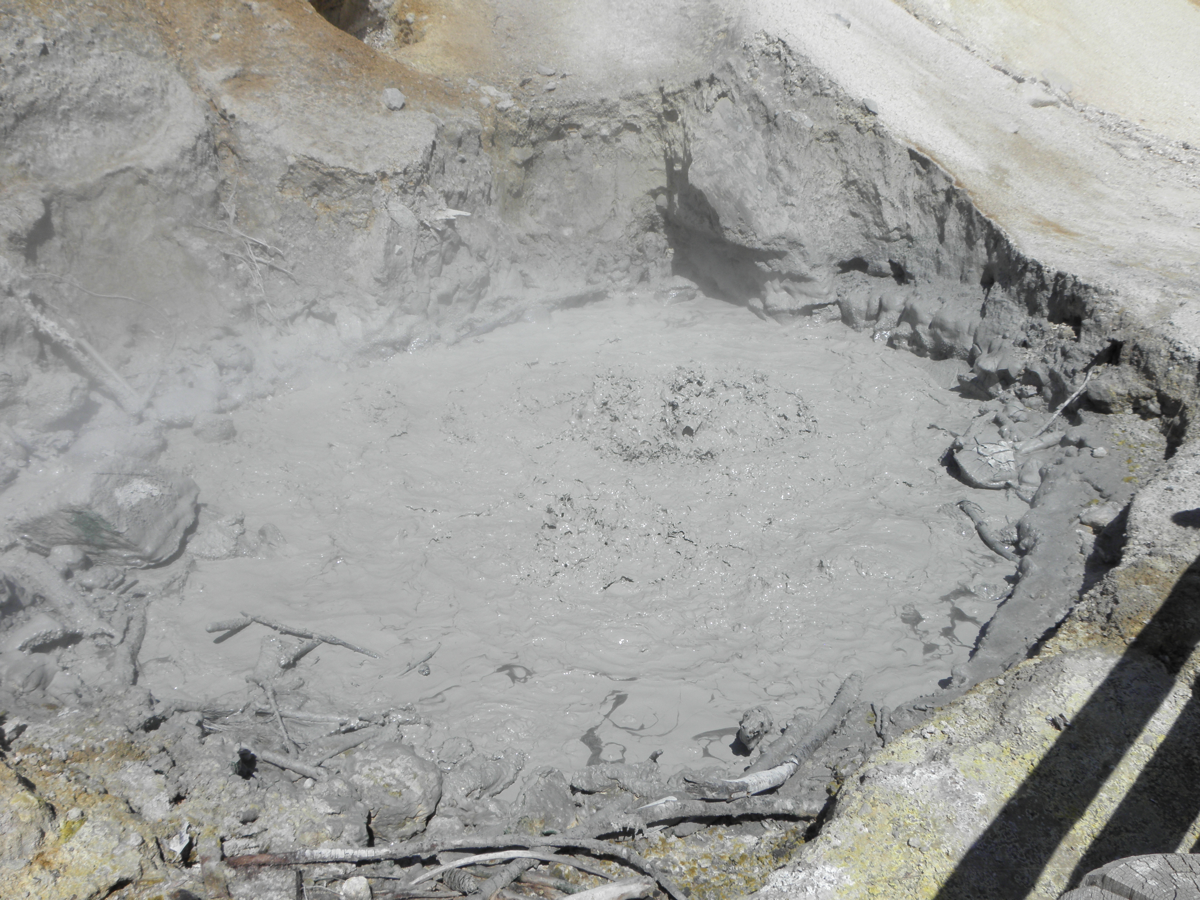
Lassen Volcanic National Park may sound familiar to long-term readers - both of you - because I went there in 2014.  Today I went through again in the opposite direction and it was just as good and just as quiet as it was back then.  Some highlights:


Emerald Lake
Mud. Glorious (and boiling) mud.

O RLY?
I do hope this is the owner's hobby and not his nickname
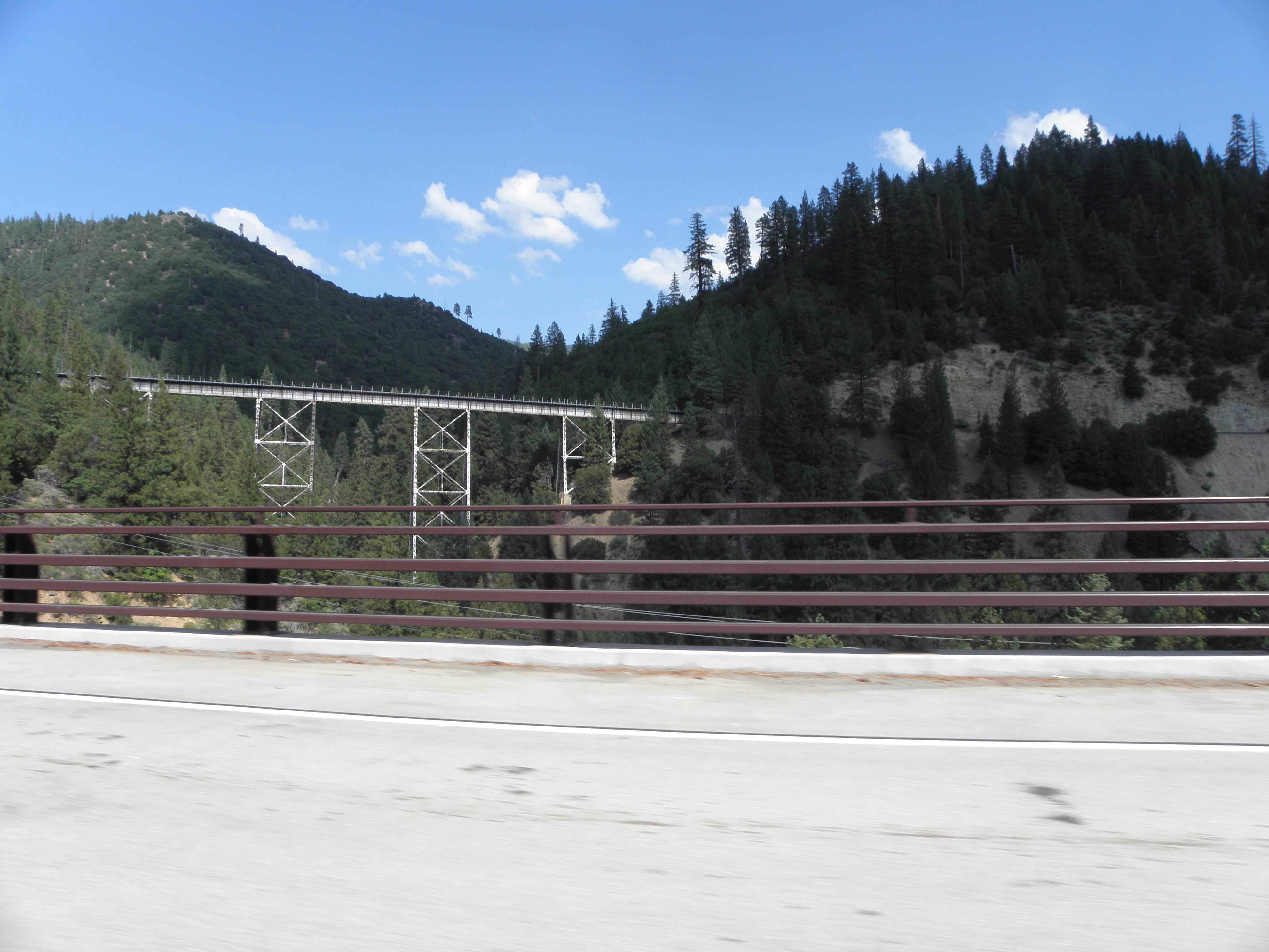
A short bit of road familiar from exactly a year ago soon gave way to more new stuff through more mountains.  Also with bridgey goodness:
But approaching the Donner Pass/Truckee area, things got a bit wonky when a bloke coming in the opposite direction had his wipers on, and Lo! It rained.  Not quite as hard as yesterday but it went on for a hundred miles and confirmed many of my prejudices about Californian drivers.

Thence to Lake Tahoe.  Everyone says how teh Aces Lake Tahoe is but I rather fear I have taken against it in much the same way as I have against Aspen, except that the bits of civilisation around Kings Beach managed to be both twee and tacky at the same time.  As for the lake, it's a lake.  And mostly invisible behind trees, houses, restaurants and rain.  It might look better from the other side, and/or on a nice sunny day, but I ate'nt about to go back and look tomorrow even if the sun does come out.


And so to the final pre-BM night halt.  Fool that I was, I assumed that the postal address of "Gardnerville" meant the place was in Gardnerville but it is not, no, it is twenty miles south of that august metropolis.  Still, I am expecting the view out of my window to be OK tomorrow, assuming it's not raining, because this evening it looked thus:

Topaz Lake
  1. Fortunately foodstuffs rather than anything 'splodey.
  2. Which would have meant following this sign:
The bleedin' obvious, yesterday

Thursday, 7 September 2017

Day 9: Troutdale OR - Klamath Falls OR

A promising start to the day as I wandered out front to spark up the first tab of the day and saw something curious above my head-branez, viz. BLUE SKY!!1!  To make things even betterer, my phone has stopped playing silly buggers.  Properly, I mean.  In Clarkston it claimed to have established talks with T-mobile, and repeated the same claim last night, but when actually called upon to make a phone call, it shrugged its shoulders and claimed there was, in fact, no network.  I'm not quite susre whether this is an example of a Schrödingnetwork, which is simultaneously both there and not there, or a Heisenetwork, about which you cannot be sure, or something else, about which I ought to consult floppy-haired cleverness dispenser Professor B Cox.  But I was able to ring the Super 8 in Battle Mountain and confirm my reservation.  Which is a Good Thing, as a computer "upgrade" ate all the reservations.  Also the bloke on the reception desk looked like a 2/3 scale model of Brian Blessed.

The first inkling that things might not be going according to plan was the violent evasive manoeuvre required to avoid the suddenly-slowing pickup in front of me, who was dodging the debris left behind by another pickup having struck, in no particular order:
  • A roadside marker post
  • A mailbox
  • A good-sized deer
Lack of movement on the part of Bambi suggested that being hit with a Ford F-150 is unlikely to do you much good.

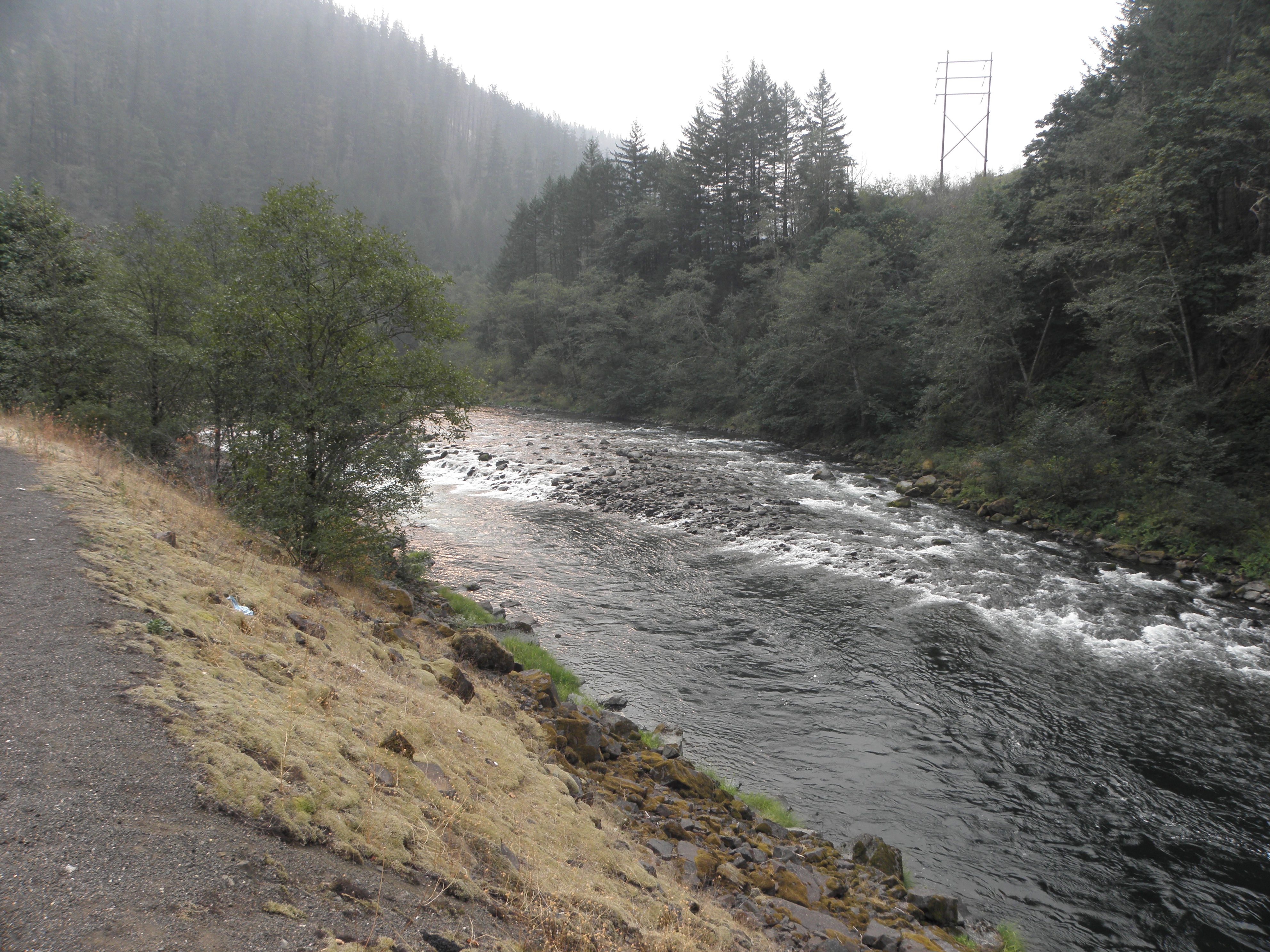
Anyway, a route had been plotted to take advantage of the roads through the luvverly wooded Cascades, as the not-far-from-the-coast mountains are known in these parts.  Up the valley of the Clackamas River zoom zoom:
But soft!  What do these orange-and-white marker barrels signify?  The answer was found round the corner.  Road closed because big burny fiery DETH.  So, that'll be fifty miles back to the first usable alternative.  Over this again:
Those are the only two photos I took today.  Soz.

A suitably Chestertonian detour eventually got me onto US-20, which is a Fun Thing and took me out of the flatlands and back into the hills.  Then OR-126 to pick up the Aufderheide Scenic Wossname, which wends through the woods for sixty-five miles and avoiding a big chunk of US-97, which is a road I cordially detest.

On the way down the 126 it became very very windy.  And dark.  And when I took off my sunglasses it was still dark.  Tactical roof-erecting stop performed just in time before running into a storm which matched in intensity, if not duration, the one from outside Oklahoma City last year.  And this one had lightning and hail thrown in for good measure.  In the middle of all this I found the turn-off for the Aufderheide Scenic Wossname.

"Road closed because big burny fiery DETH".  Arse.  Turn around, retrace to US-20 and head east to Bend, there to get onto US-97 anyway.  Catching up with the storm again.  Which then caught me again when the road changed direction.  Finally reached Klamath Falls after a whisker under 500 miles, which is about 130 more than scheduled and I am tired and need tea.  Hopefully the mountains further south will not be full of big burny fiery DETH, coz I'm getting fed up with it now.

Wednesday, 6 September 2017

Day 8: Clarkston WA - Troutdale OR

Today's entry is brought to you by the word "SMOKE".  S-M-O-K-E.  Smoke.

A big burny fiery fire continues to burn on the Oregon side of the Mighty Columbia river, not very far upstream from tonight's caravanserai.  There appear to be MOAR big burny fiery fires further south in Oregon too.  And the ones in Montana are still at it.  Montana was bad enough that firefighters had been drafted in from north of the 49th Parallel, and I think the Army was involved too.  Leastways there were a Several of types in US Army camouflage; they might have been bonkers survivalist types but at least two of them were women.  One of whom addressed me as "Sir" shortly after sticking her battle-hardened thumb through her Styrofoam coffee cup resulting in an unintentional hot beverage dispersal incident and Mr Larrington trying to keep a straight face.


No such levity over breakfast today, only a singing truck driver.  No, really.  This may have been his wagon:

Click pic to embiggen. NB: picture may have been slightly altered in post-production...
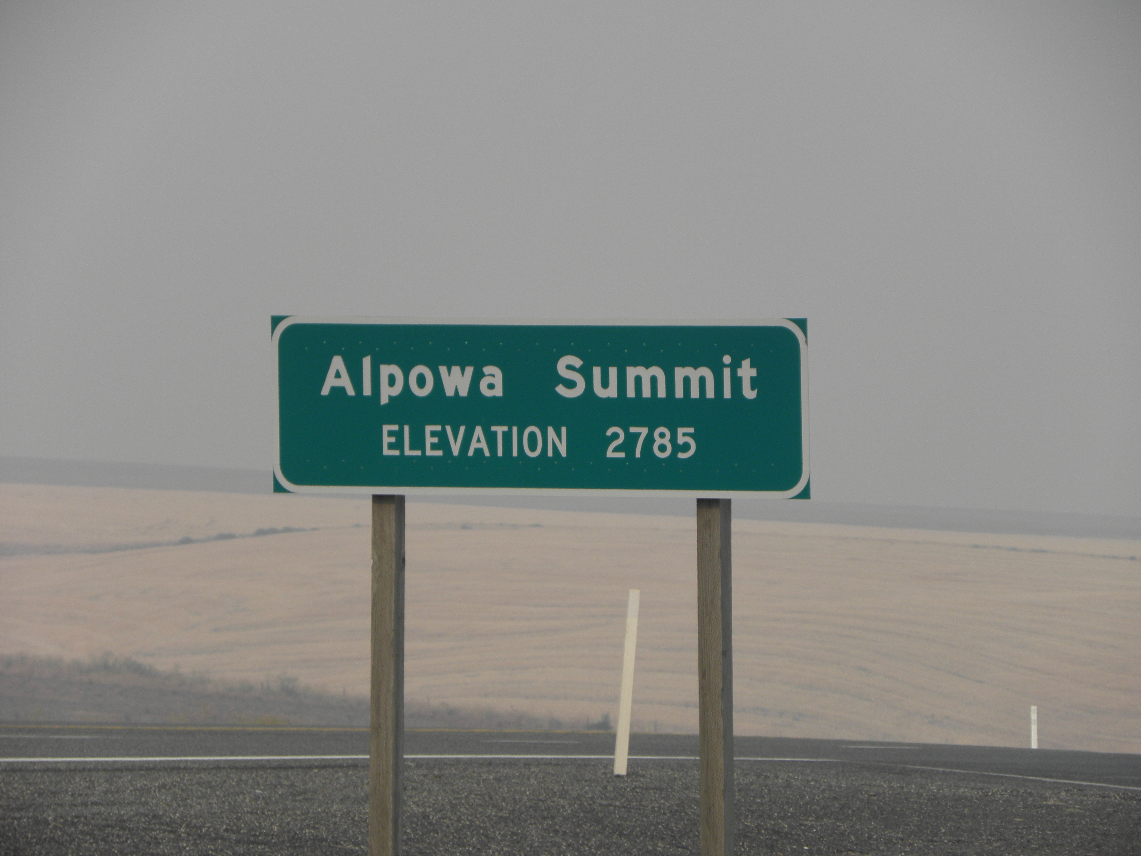
Then out into the smoke again.  It didn't look to be quite as bad as yesterday afternoon, in that it was now possible - just - to make out the hills on the other side of the river.  Down US-12 towards the big burny fiery fire to Waitsburg, then off the main road and west to Pasco.  All rolling hills and wheat fields, with the odd apple orchard, hop garden or vineyard thrown in for variety's sake.  The scenic highlight was Alpowa Summit, which is not really up to the standards of Pike's Peak or Independence Pass, As You Will See:
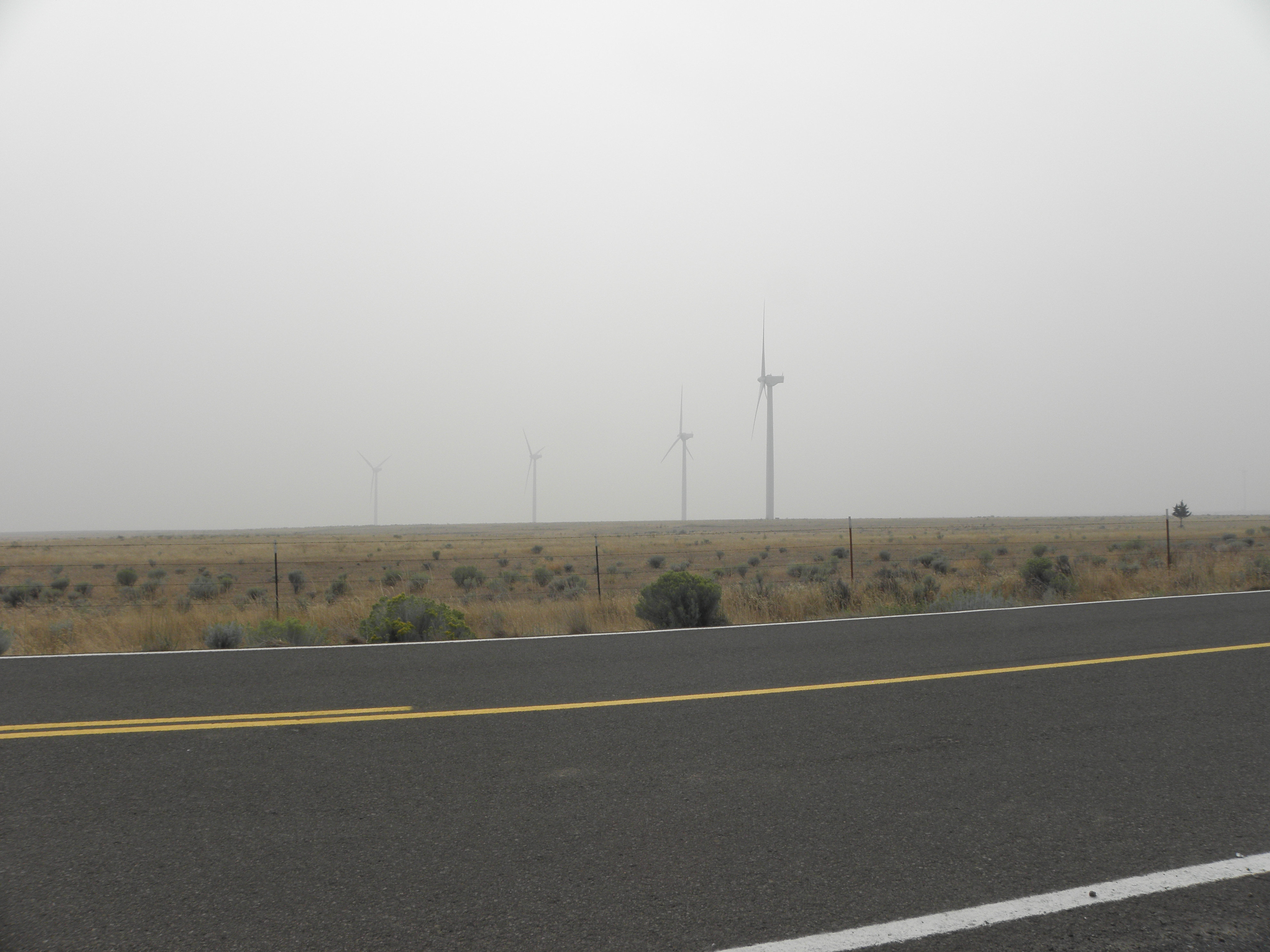
Back over the Snake River and onto I-182 and I-82 for a few miles before turning off at Mabston.  I have had a hankering to visit Washington's Horse Heaven area ever since reading, as an impressionable Tiny, of how the two Fords competing in the 1909 "Ocean to Ocean Automobile Endurance Contest" managed to get lost there.  Anyway, it appears to be a plateau some 800 metres above the level of the Snake and Yakima rivers, approached up some hills reminiscent of bits of the North Riding or the mountainous bit of the Isle of Man TT course.  No horses, but quite a lot of wind turbines lurking in the smoke.
Wind turbines trying, and failing, to blow the smoke away from Horse Heaven
Oh yes, and a bumpkin in a suspension-free farm truck piled high with hay, who signalled left, moved into the left lane and then, just as Mr Larrington was flooring the ASBO's loud pedal, turned right.

The view down to the Mighty Columbia should have been pretty spectacular but wasn't, because the valley is full of smoke.  The Mighty Columbia at this point is wide enough, and smoky enough, that the opposite bank was completely invisible and here is a not-retouched-in-any-way photo to prove it.

Scenery.  Washington.  Wednesday.
I had planned to stick to the Washington side of the river anyway, but the decision was reinforced on learning that The Man had closed I-84, on the Oregon side, between Hood River and Troutdale.  I suspect that on a good day the Interstate offers a better view, so the only solution is to keep coming back until they get the prevailing conditions right.  Bah!

I finally got to cross the Mighty Columbia on I-205 which, like most motorway bridges, affords the driver of the low-slung automobile a fabulous view of the crash barrier.  Onto the still-open bit of I-84 for a few miles and finally to Troutdale-in-the-Smoke.  You'd think that being downwind on the big burny fiery fire it'd be smokeless.  But it isn't.  Heading south tomorrow in search of no smoke.  "Reckon you won't get away from it until you reach California" said a random chap at a "gas" station this afternoon.  Thanks, mate!


Post Scriptum:  Mr Ford, I am not certain as to how your motor-car's audio system derives its album art but, for the record, the lady in the white dress

is not Wilko Johnson.  This:
is Wilko Johnson.  Thank you.

Tuesday, 5 September 2017

Day 7: Kalispell MT - Clarkston WA

As you are reading this it can be assumed that I have not been killed utterly to DETH in a nasty fiery burny kind of way.  Well, not today anyway.  However, the pall of smoke hanging over much of western USAnia was present and correct for pretty much the entire day, albeit at varying densities.  This rather spoiled what should have been a pleasantly restful-to-the-eyes day, consisting as it did mostly of trees.  My recollection of US-93 south of Kalispell was of a horrid ribbon development interspersed with traffic lights.  I am probably misremembering.

(Checks archives)

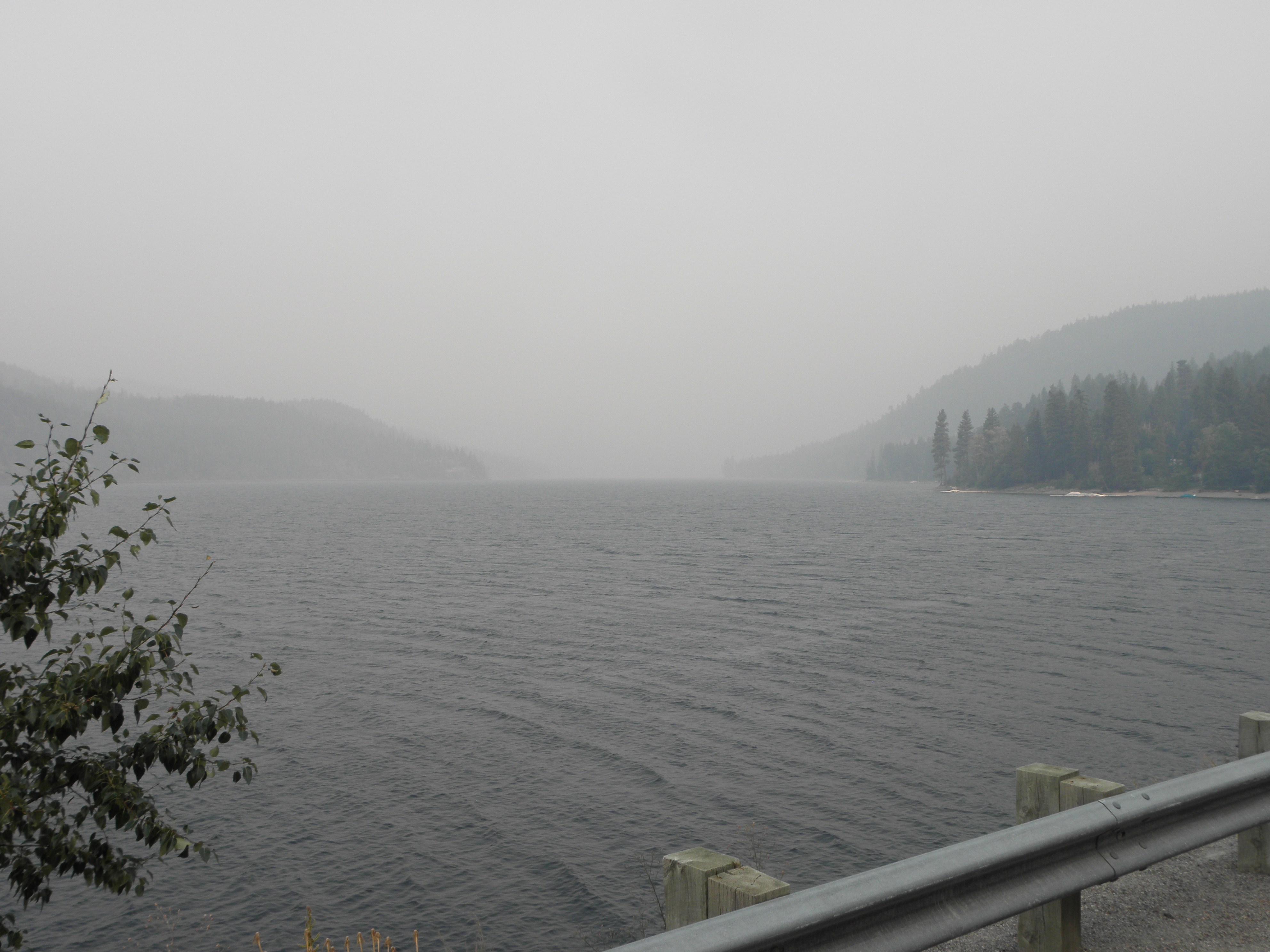
Yes.  Yes, I am.  That was the bit south of Missoula, not north of it.  Oh well, too late now.  In any case, the route down the east side of the Flathead Valley was mostly empty and contains three villages in ninety miles and lots of trees, oh yes.  And a 35 mph speed limit either side of Seeley Lake because of the thickness of the smoke.  Try to imagine this on a nice sunny day:
Flathead Lake, with added smoke
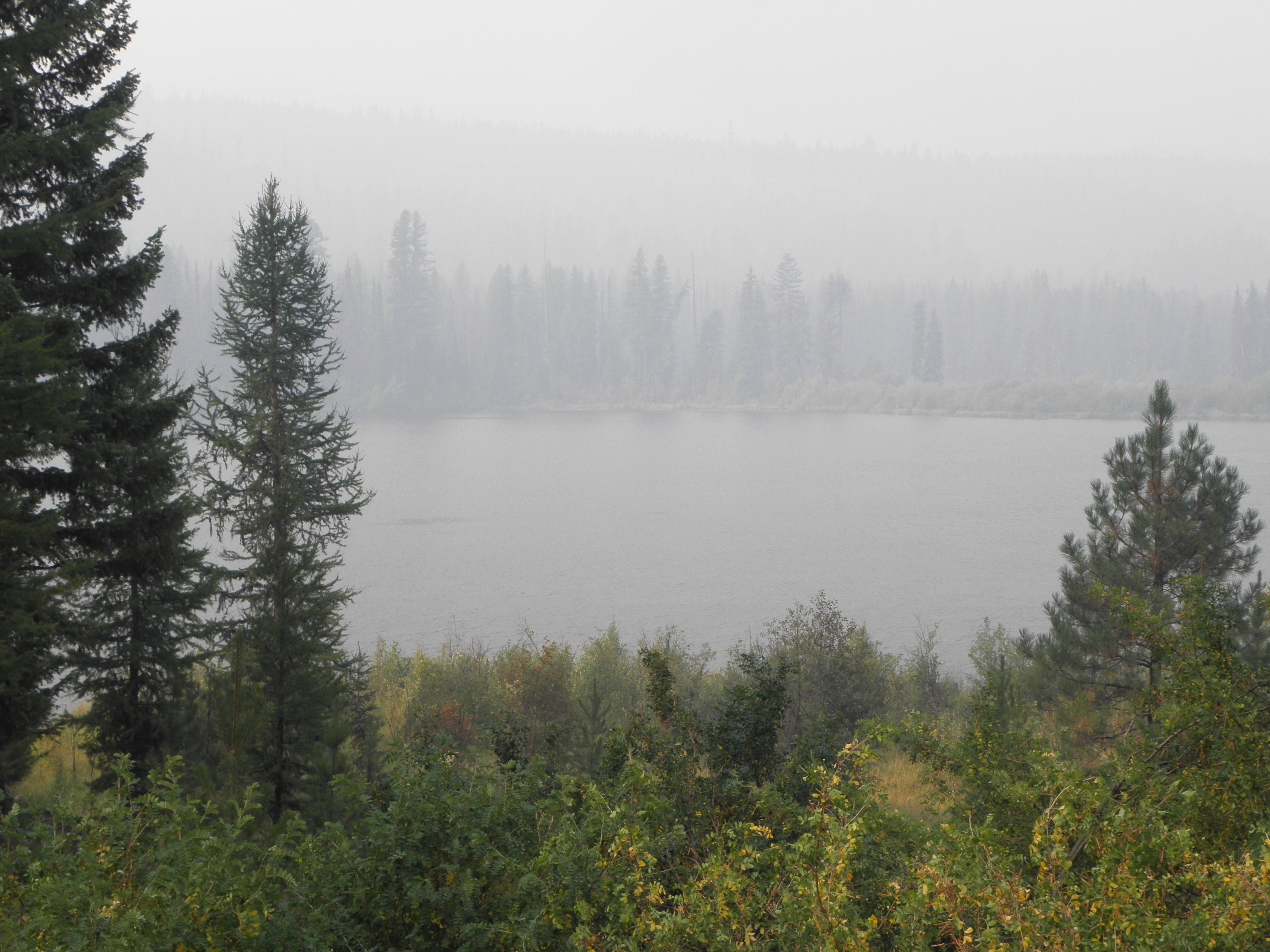
Or, indeed, this:
Summit Lake
Through Missoula, down a short stretch of US-93 which was exactly as I remembered it, then turn right onto US-12, pausing only to set all the buttons, switches and levers in the cockpit to "Hooligan" mode.  For this is Lolo Pass and the valley of the Lochsa River, which has a sign at each end reading thus:
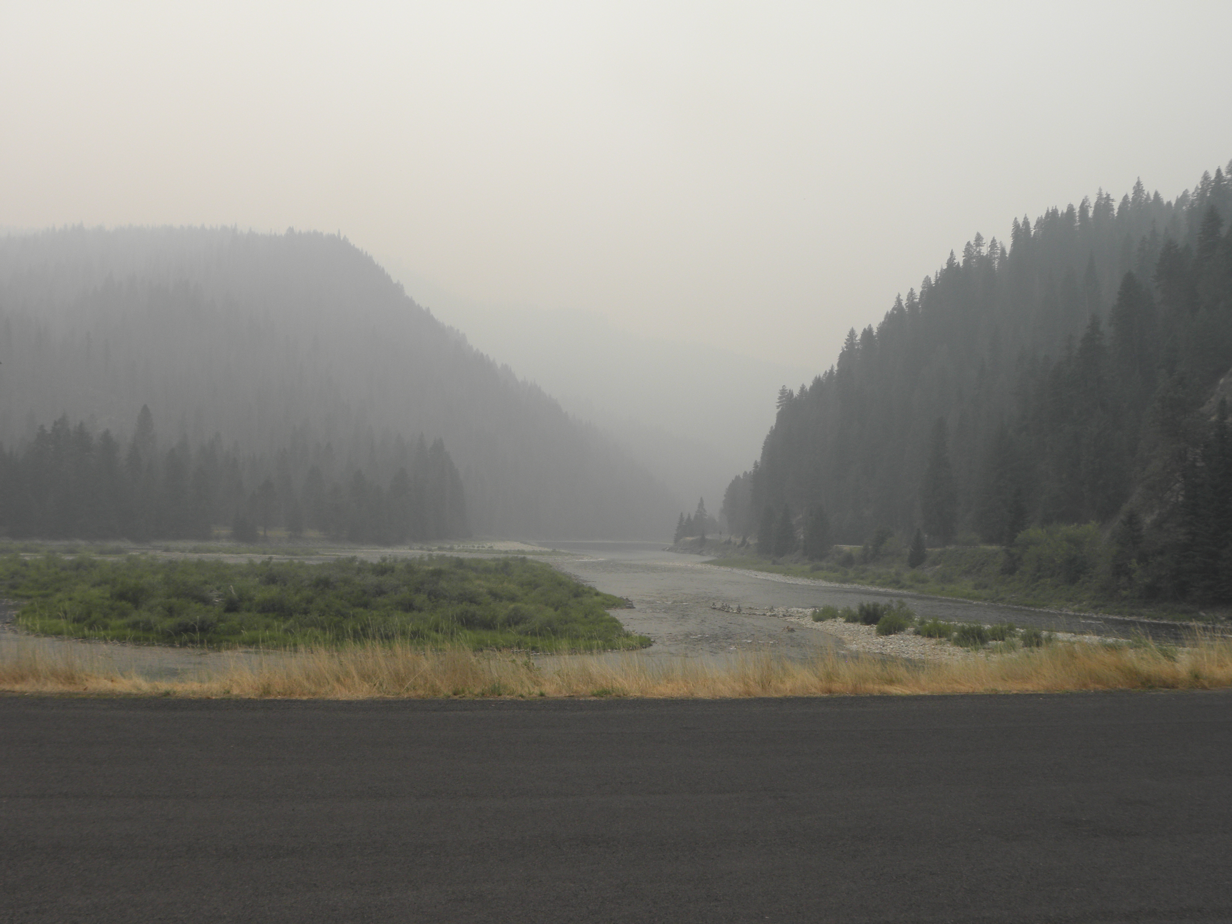
That was 2010, when it was raining.  In 2009 they were digging it up.  In 2017 they were doing neither, although the unsporting Idaho side has a 50 mph speed limit.  Fortunately Mr State Policeman was parked on the far side of a corner so he merely gave an admonitory flash of his blinkenlights rather than chasing me down the road and throwing me into gaol.  On the rare occasions when the sun managed to break through the smoke a bit it looked like this:
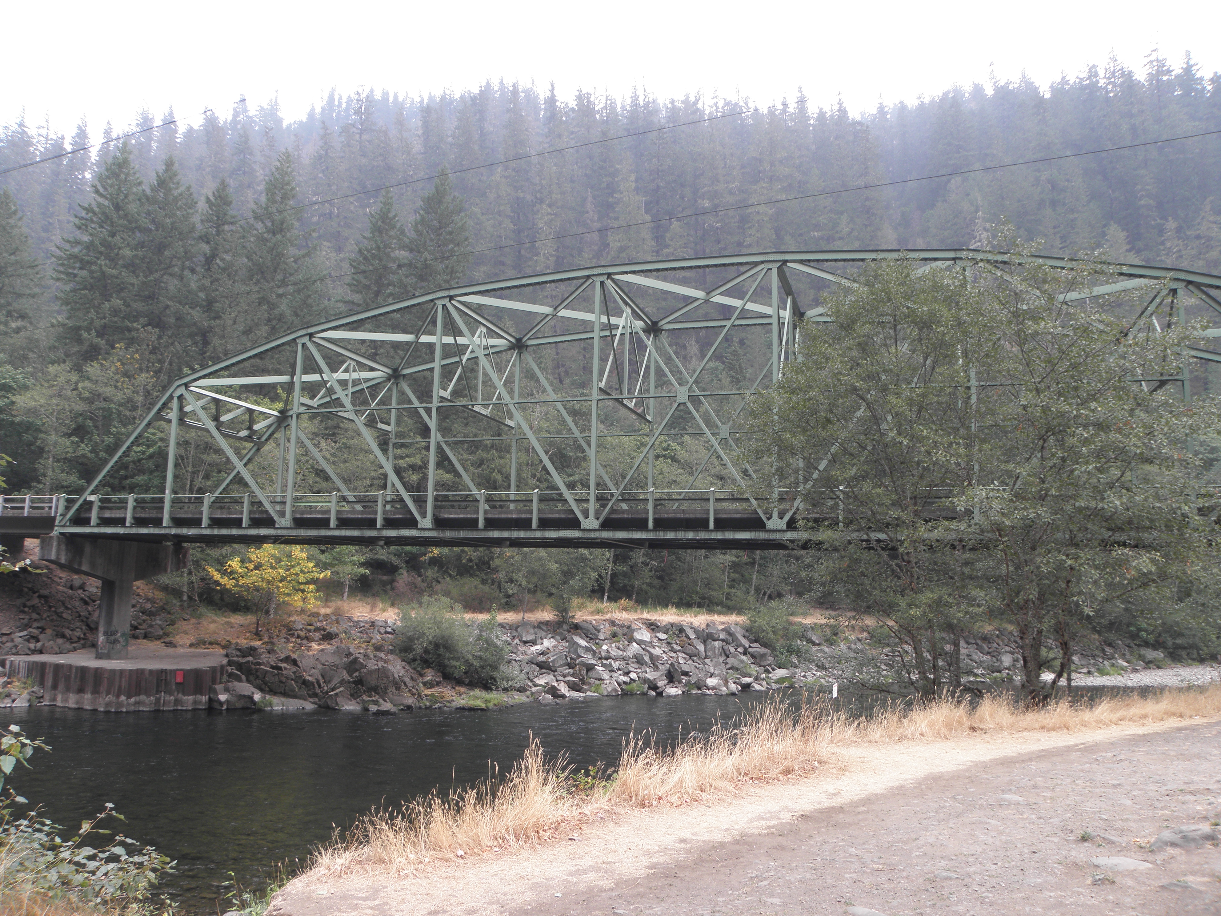
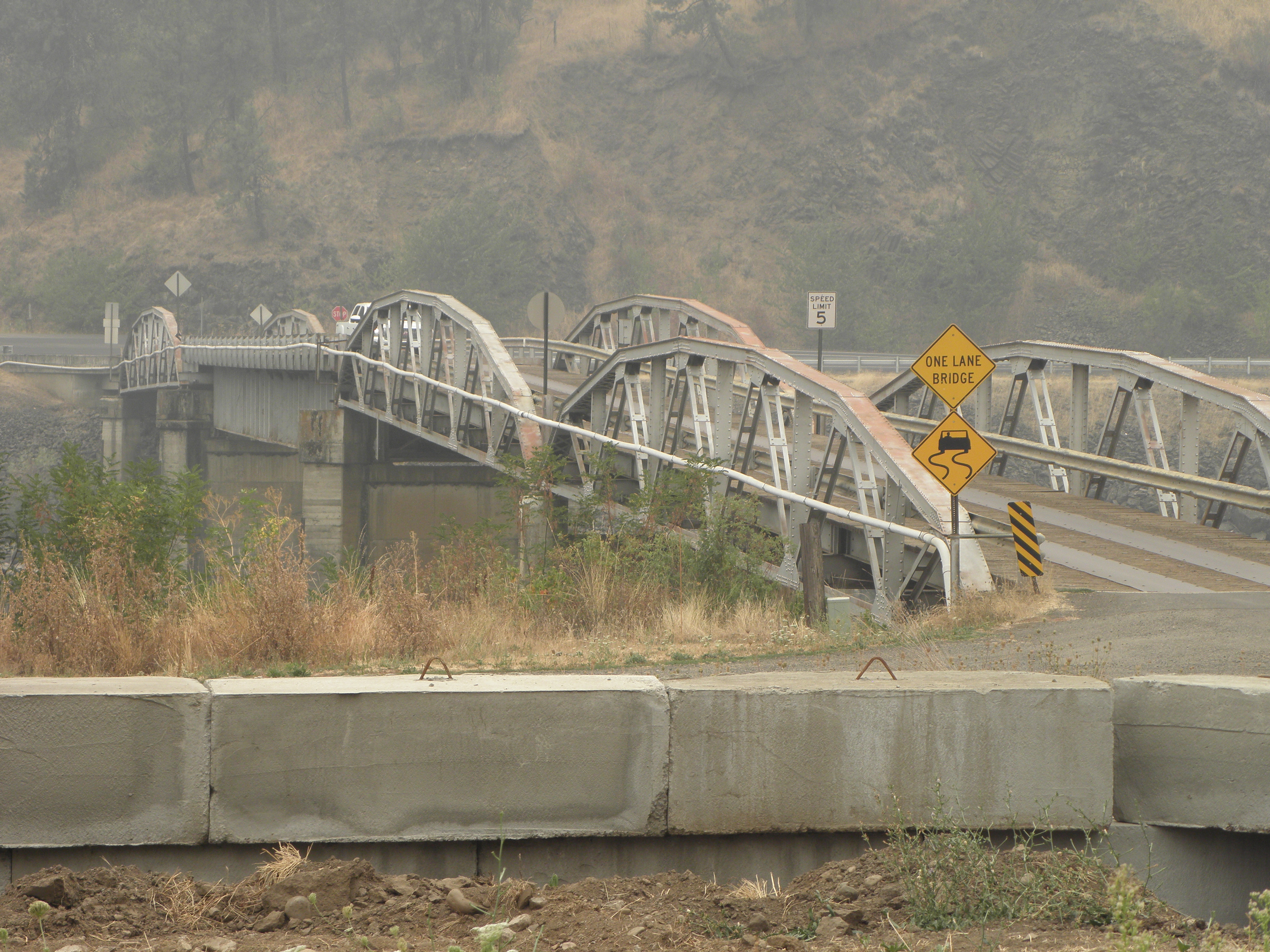
South of Kooskia is a bit I've not been on before; the river valley is a good deal wider and has a bit more traffic on it but nothing to raise the blood pressure.  I was in danger of being early arriving here because of the hour gained by crossing into the Pacific time zone at the top of Lolo Pass, so took some pictures of bridges to pass the time.
Not a bridge, but rather the meeting to the Lochsa and Selway rivers, forming the Middle Fork of the Clearwater River
In the west of USAnia they ran out of names for rivers fairly early on, so you can have absurdities like the North Fork of the South Platte river cheek by jowl with the South Fork of the North Platte.  And so on.
Bridge of the Day: leads to the Post Office at Lenore ID.  US-12 on the opposite bank.
It will probably come as no surprise to learn that on the other side of the Snake River from Clarkston is... wait for it... Lewiston.  In these parts it is impossible to escape Lewis and Clark for long, and they ranged a good deal further afield than military twerp George Armstrong Custer who, inexplicably, also has towns and things named after him.  Even though he lost.

I came through these parts two years ago when it was gloriously sunny and the view from the top of the valley was quite spectacular.  Today you can't see the top of the valley sides.  And I have an horrible feeling that fings are not going to get much better.  I chatted with a Nice Lady in the car park shortly after arriving.  She'd driven up the Columbia River gorge from Portland today.  The word "beautiful" was mentioned a Several of times, but then so were "smoke", "flames", "road closure" and "evacuation of whole towns".  "I've never seen it this bad" she opined.  Guess where I'm going tomorrow?

Monday, 4 September 2017

Day 6: Billings MT - Kalispell MT

Time to Defile the Wilderness with Rock'n'Roll!  "Where are you going today?" asks the Nice Man on reception.  "Why, to Glacier National Park" I reply, "to Defile it with Rock'n'Roll, as is my wont!"

"Ah," quoth he, "I have just seen on that The Internets, that they have now, that Glacier National Park is being evacuated because big burny fiery DETH!"


Oh.  Bugger.  Still, 'tis a fair way away from Billings so perhaps they will have changed their collective mind by the time I get there.  Last time I went to Glacier, I arrived in nearby Whitefish the very day they closed the through road in the park for the winter, so I am anxious to put this omission right.


The run up to the park's east entrance is neither exciting nor short.  It is, in fact, about 360 of the BRITONS' miles.  And it's more of the same Stuffs we've had since crossing the Mighty Missouri in South Dakota.  And it is forty old-skool Fahrenheits colder than yesterday, and only manages to lower the difference by ten over the course of those miles.  Scenic highlights:

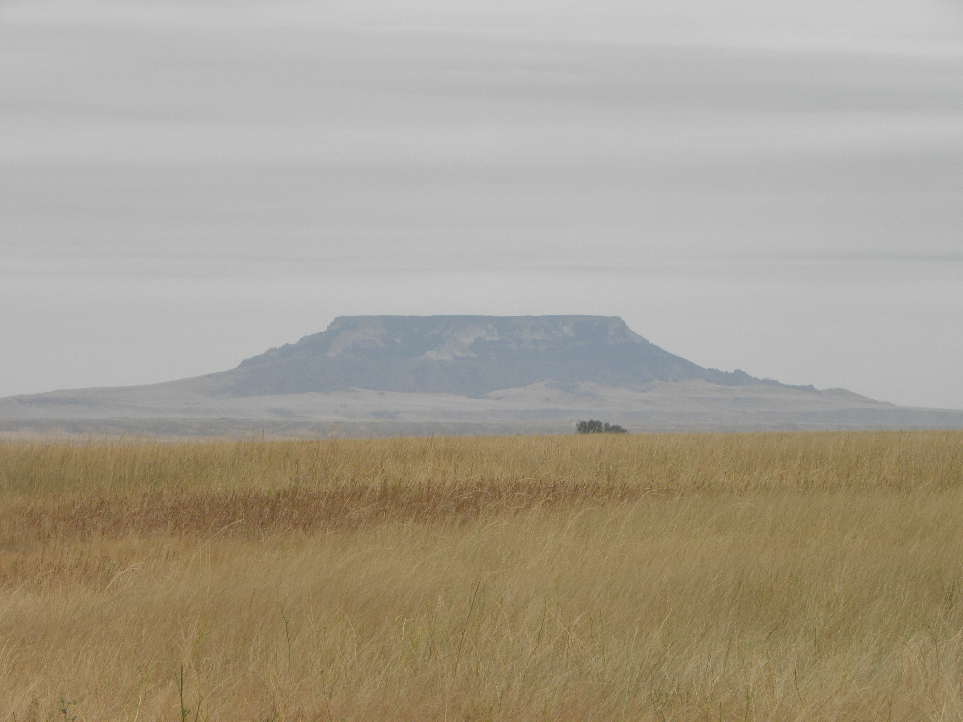
This could be a mesa, but is more likely a butte fnarr fnarr
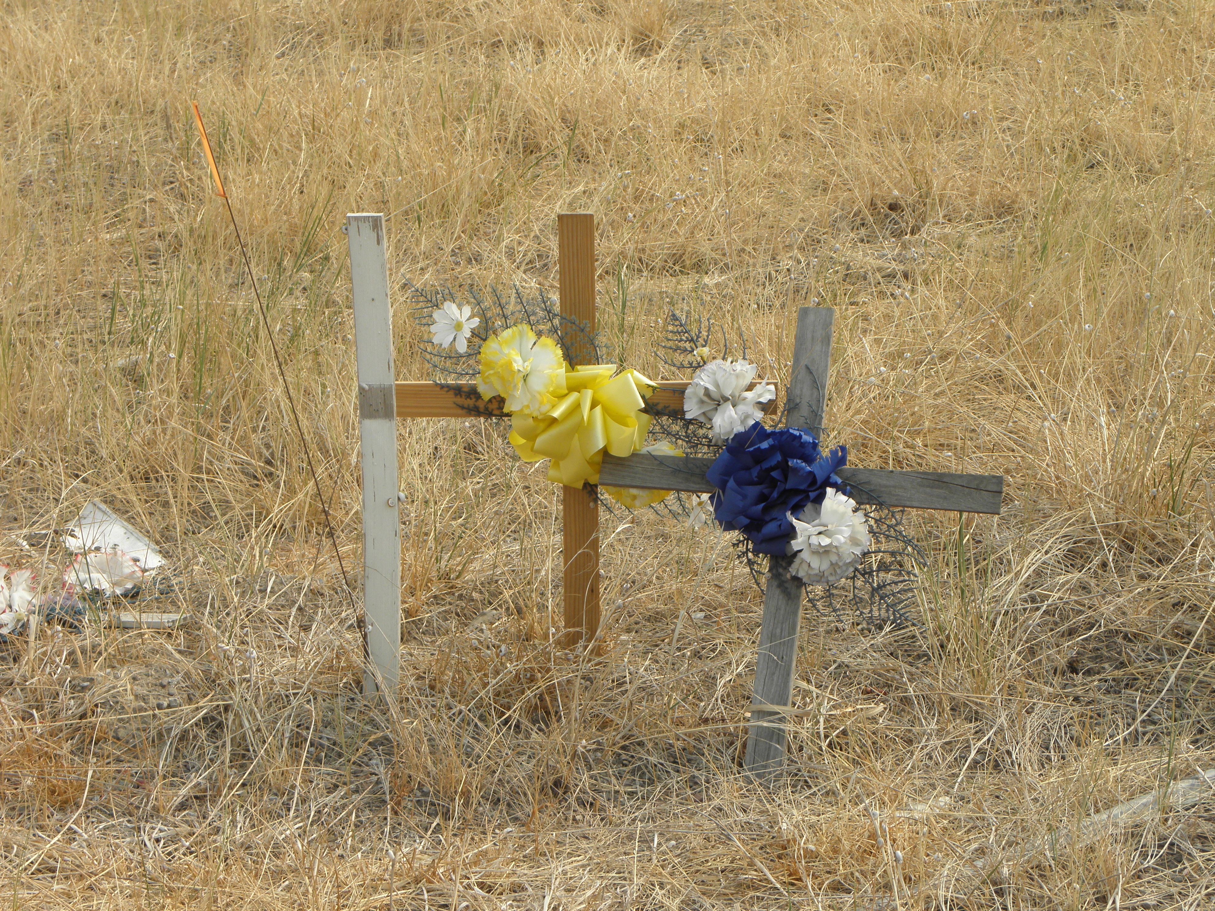
Montana is positively awash with cellotaphs like this, usually in places where even the most craptacularly inept moton would have difficulty in crashing.  The place is, however, also awash with signs warning of the dangers of crystal meth...
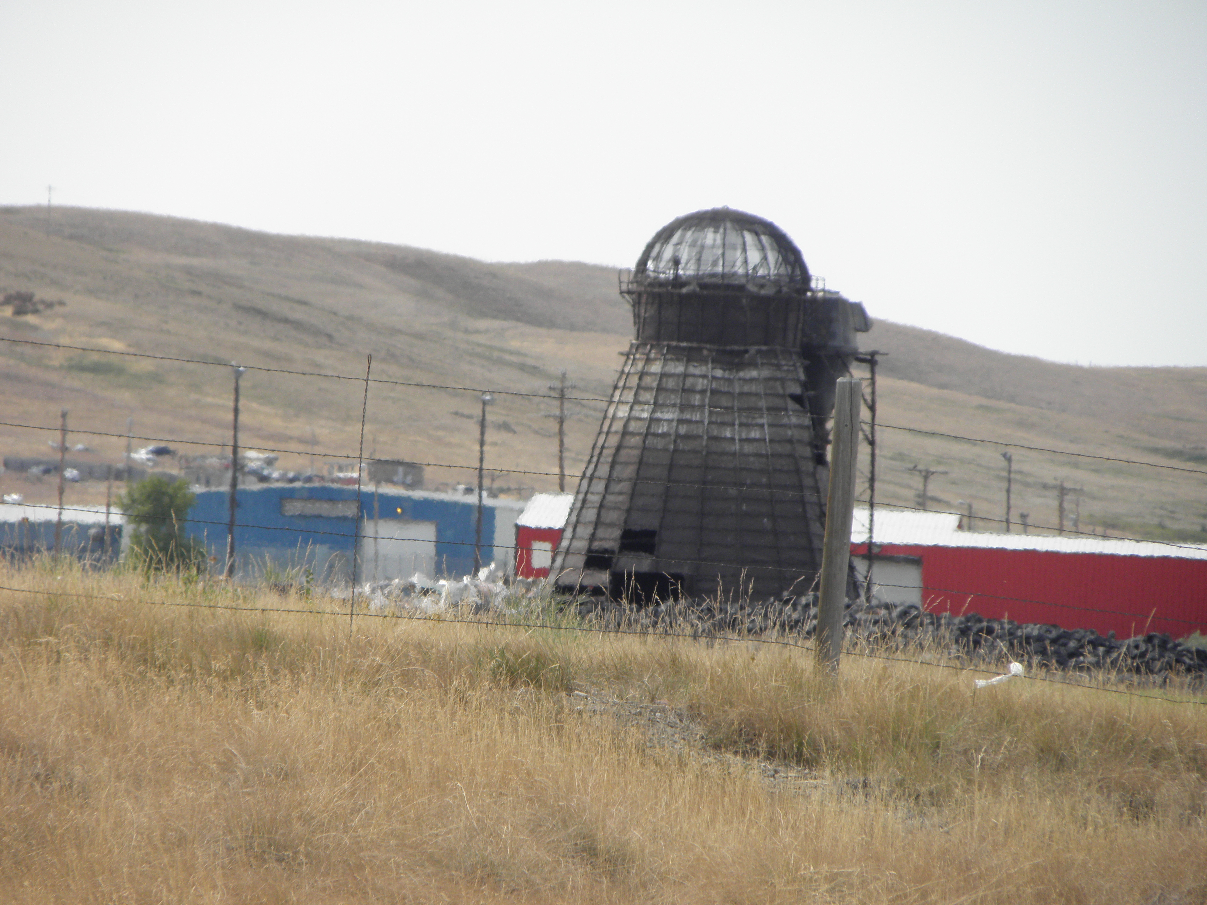
Another one of those incinerator/Dalek hybrids
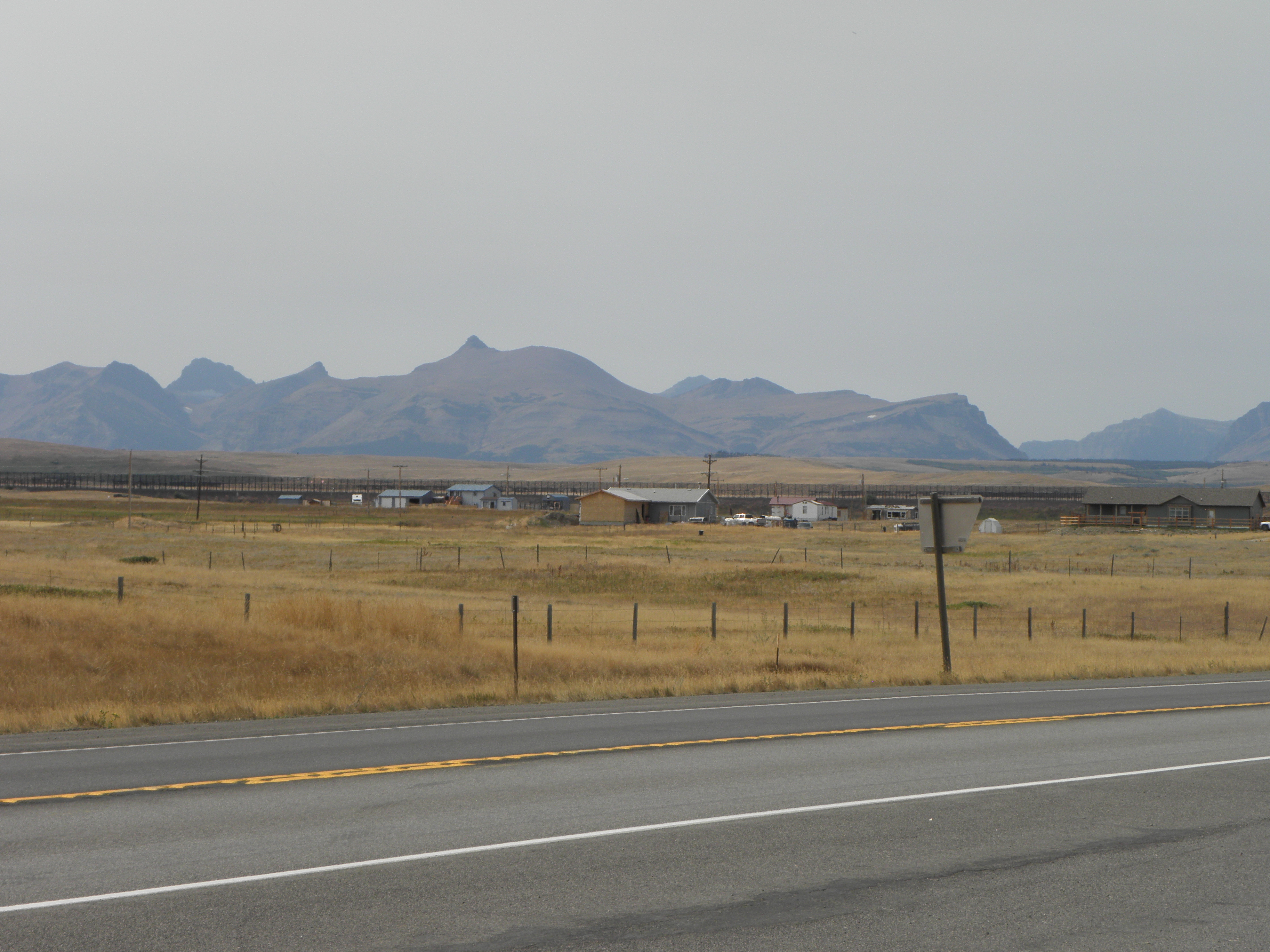
Look, Mum, proper mountains at last!
I don't know why I should find it surprising that the main cash crop up here has changed from cows to wheat, because wheat is what the Prairie Province of Canada™ are known for, and they start a couple of hundred miles north, but the place is littered with combine harvesters doing their Thing.

And so to East Glacier Park.

Either we have a new Pope, or...
"Soz" says a helpful sign "the road over Logan Pass is closed because big fiery burny DETH!"  If I cannot take the road over Logan Pass - i.e. the through road to West Glacier Park and parts beyond - then there is little point in ponying up twenty bucks for the privet hedge.  Anyway, I expect it still looks like this:
and this:
Glacier National Park in 2009, yesterday
only with less ice because of some conspiracy theory invented by the Chinese1.

Instead I shall take US-2 around the south end of the park, because to go around the north end would require invading Canada.  US-2 is actually jolly scenic when the smoke doesn't get in your eyes and here is a picture to prove it.

And it gets a lot warmer on this side of the Continental Divide.  As things start to flatten out I turn off and potter four miles up a side road to visit this, which I missed last time because teh Stupidz:
Hungry Horse Dam
The crane has a capacity of 125 tons and runs on a pair of rails still sunk into the roadway across the top of the dam.  It was built in Portland OR, which is a very long way downstream...

You can actually drive all the way round the lake, but it's a hundred miles and I've already done over four hundred today.  No thanks.  Perhaps in another eight years' time I will be able both to drive right through the park and circumnavigate Hungry Horse Lake.  Put it in your diaries for 2025.

And so to Kalispell, where the Internets as as slow as those in the Super 8 in Battle Mountain when thirty spods are all trying to upload Stuffs at once.  I've only got 23 photos to upload, it's taken an hour and it appears not even to be halfway yet chiz.  
Oh, and my phone still doesn't work.

Another pearl of wisdom imparted by Billings Hotel Man was "It's2 even worse down around Missoula".  You do not need to guess which way I am going tomorrow.
  1. According to that basket case in the Awful Orifice, anyway.
  2. Big fiery burny DETH, that is.

Sunday, 3 September 2017

Day 5: Rapid City SD - Billings MT

Pretty much another transition stage today.  Out of Rapid City and up into the Black Hills, which hav a very interesting history if you are interested in hist. which few boys are.  It would seem that in 1868, the U.S. government signed the Fort Laramie Treaty of 1868, establishing the Great Sioux Reservation west of the Missouri River, and exempting the Black Hills from all white settlement forever.  "Forever", in this case, turned out to mean "six years" as in 1874 gold was discovered, The Man took the Black Hills back and kicked the locals out on their collective ear.  This led to all sorts of unpleasantness, especially if you happened to be George Armstrong Custer, the world-renowned military berk.

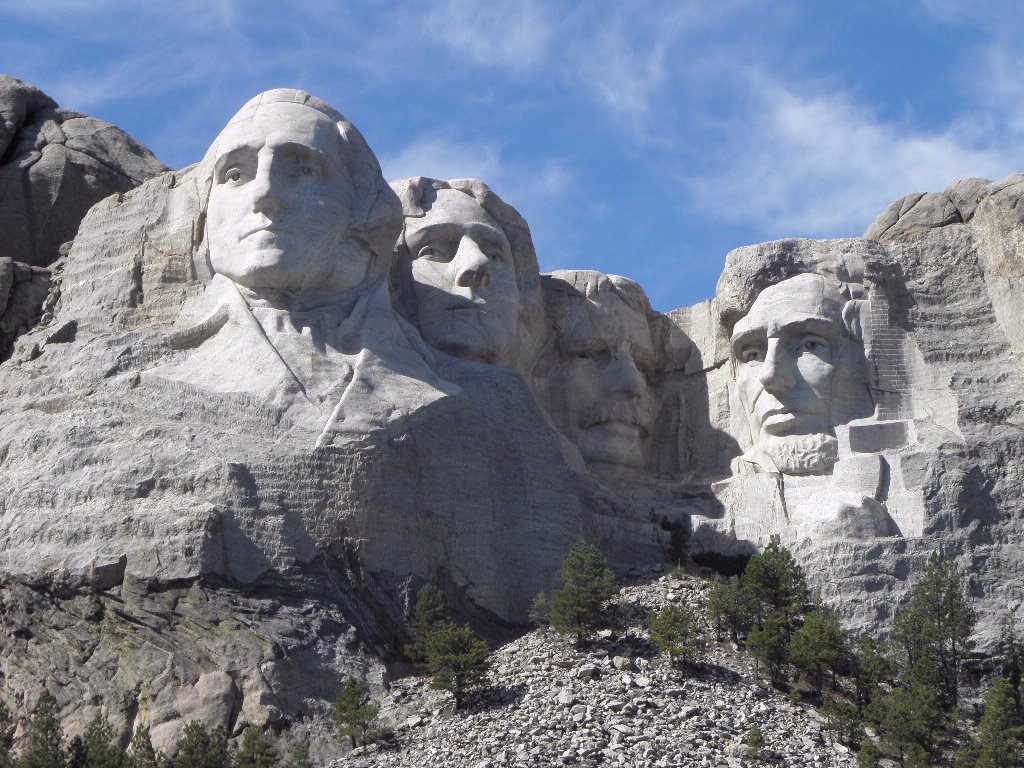
The Man then filled the route up from Rapid City with all manner of tacky tourist tat, at least as far as Mount Rushmore where, as noted yesterday, I did not go.  But you can see it from the road.  It still looks like this:
Famous rock group The Presidents of the United States of America
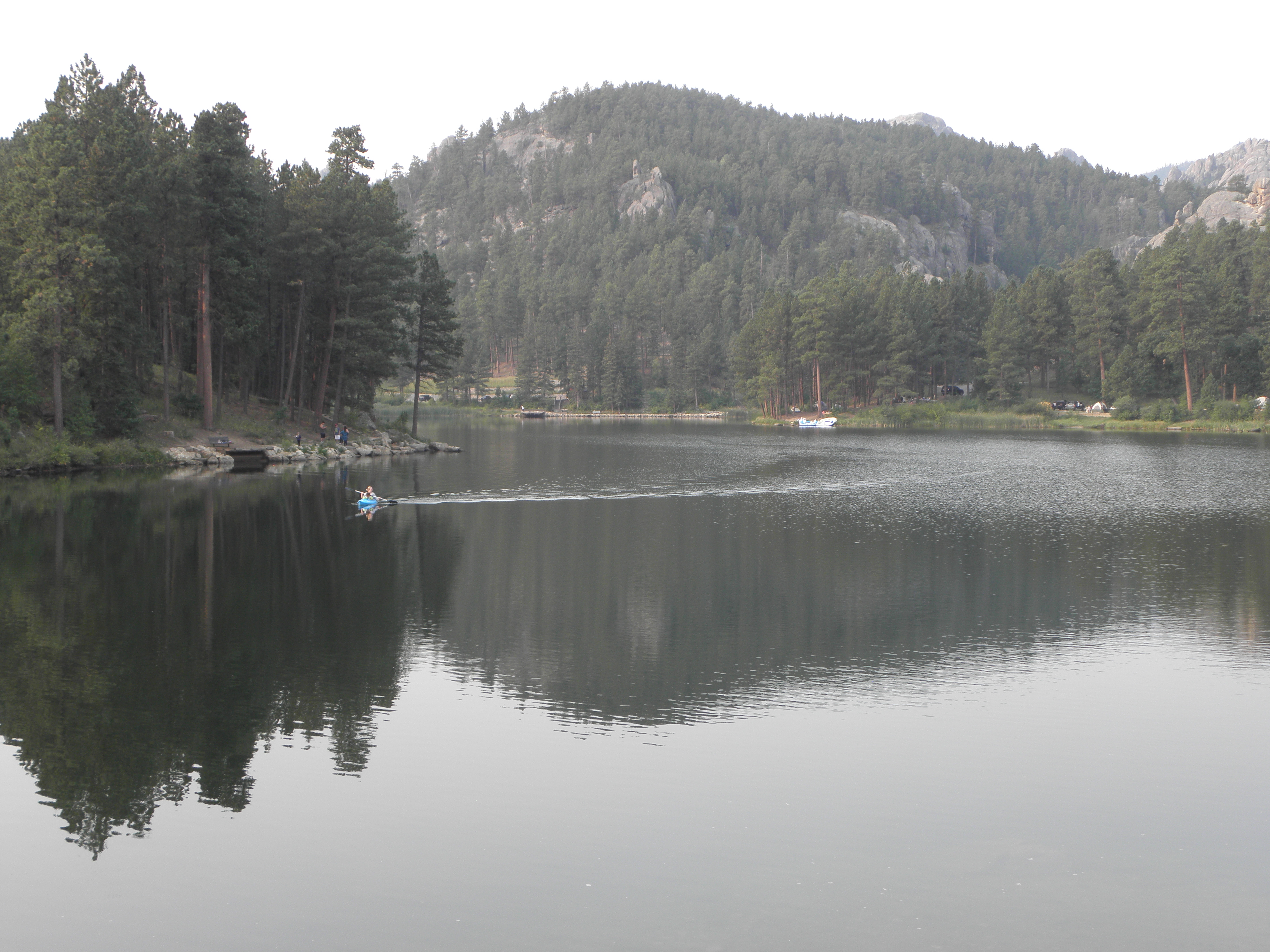
I was actually looking for the so-called "Pecker Rock", which is supposed to stand next to SD-244 just past Mount Rushmore and resembles a CDC, so I could photograph it and enhance the reputation of YACF for smut.  But having not seen it on the first pass, I decided not to bother going back and looking again, so instead here is Horse Thief Lake:
Next stop the Bear's Tipi1.  No, Emily, I do not wish to go back to Rapid City, because that is in totes the wrong direction.  Take me out of them thar hills in a westerly direction, if you would be so kind.

After coming out of the hills it turned all hazy.  I suspect this was due to distant wild fires filling the atmostale with crud rather than any low clouds or Exhalations of the Earth.  Not much else to see here either; a reversion to the standard Plains mild lumps with cows on them, the odd stand of Ponderosa Pines and the occasional mile-long coal train.  Alas I was too slow to get a photo of one of these as it approached the town of Newcastle...

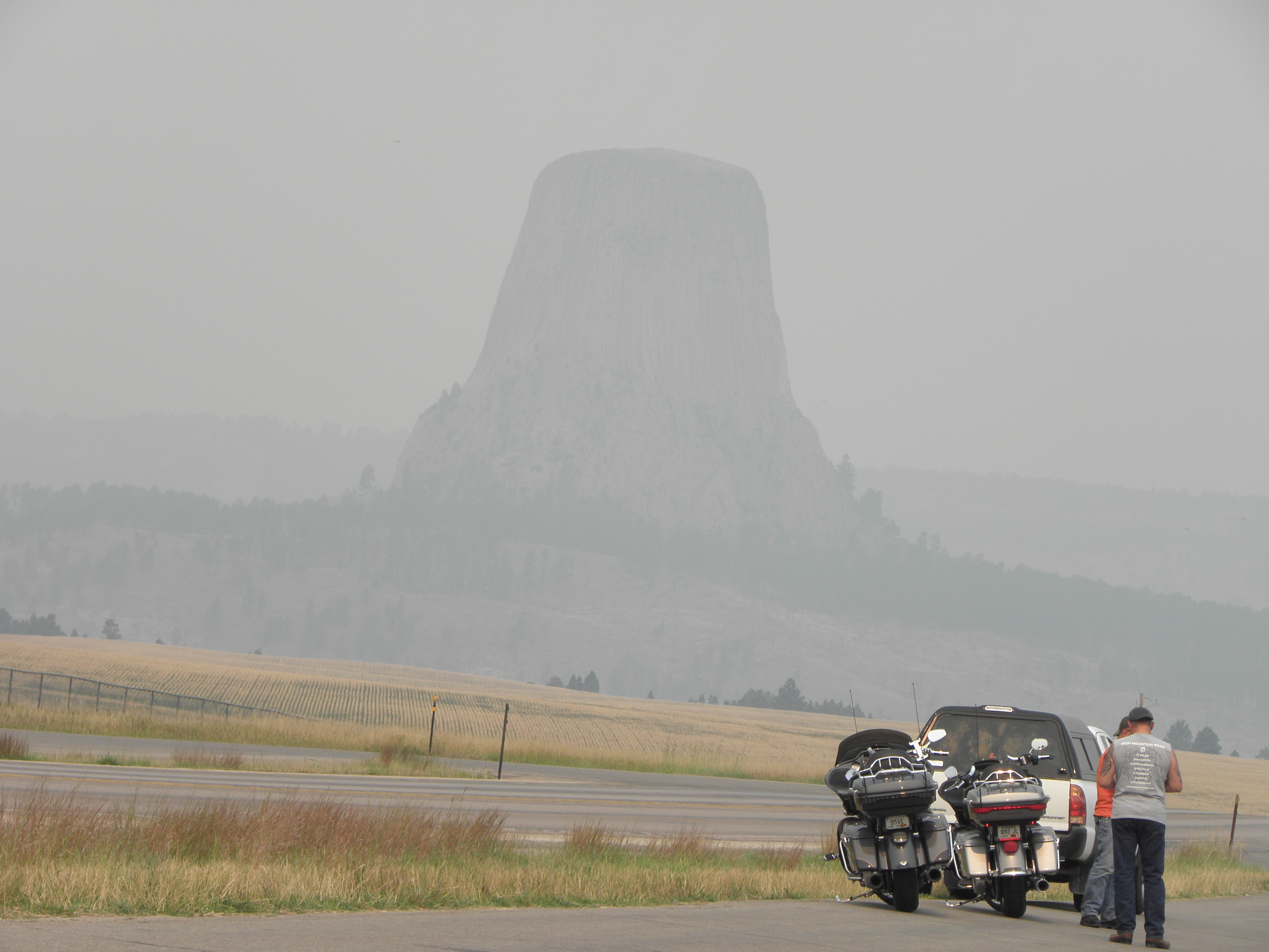
To demonstrate the murkiness of the prevailing, here is the Bear's Tipi from not really all that far away:
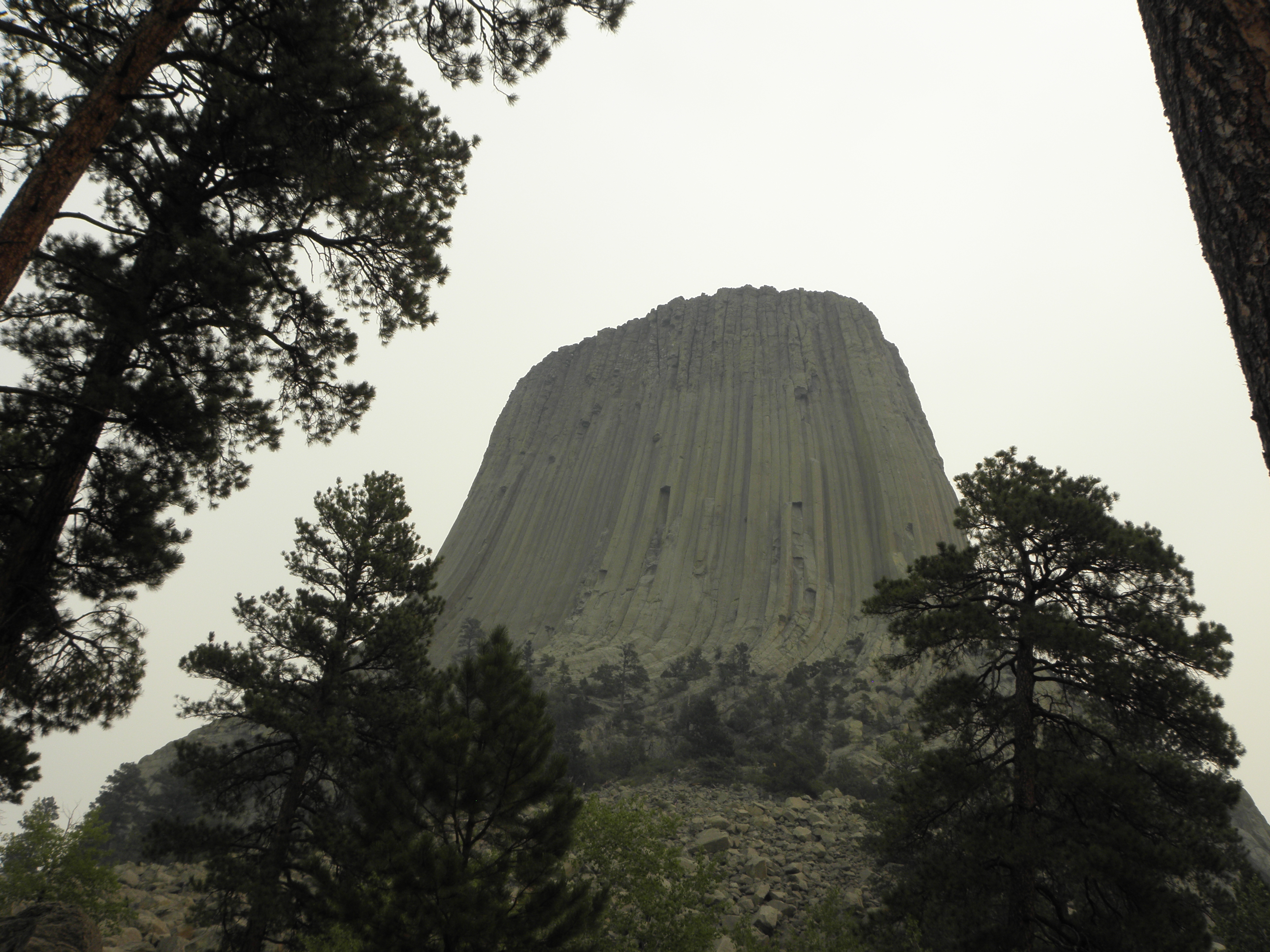
You had to get up close and personal before you could make it out clearly enough to see whether it's made of mashed potatoes, by Richard Dreyfuss:
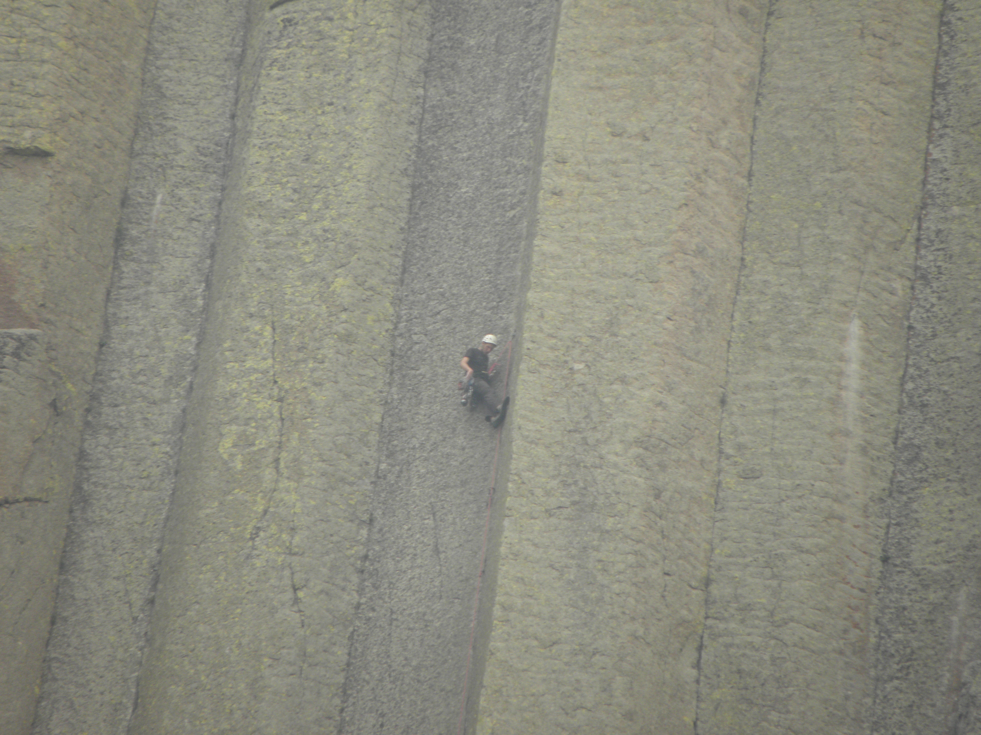
If, in fact, it was made from mashed potatoes it is unlikely that there would be mad people like this anywhere near it:
And thence to Billings, via the same route as in 2005.  Which, I recall, had a smooshed deer every mile or so as a result of empty cattle trucks bombing along US-212 at 90 mph.  Today there were far fewer smooshed deer and the mighty rushing headwind ensured that no-one was bombing along at 90 mph no matter what they were driving.  Hardly any cattle trucks anyway, with it being a bank holiday tomorrow.  The game of "match the distance on the fuel readout to the distance left to travel" went hopelessly wrong and enforced another stop chiz.  Nearly 300 miles with nothing worthy of note to look at.  I did go past the Little Bighorn battlefield, but I went there in 2005 as well and stopping would have merely confirmed that George Armstrong Custer was at least eight of the BRITISH Army's eleven officially recognised types of fucking idiot.
"I've got a great idea", said Custer.  "Let's abandon the high ground where Mr Larrington is standing with his camera in 2005 and chase the Indians down that valley where... oh! Shit!"
On Porcupines: Any fule know that when a porpentine is fretful, its quills stand on end, thereby ensuring any wannabe predator gets a faceful of pointy spikes.  But according to a notice in a rest area somewhere in rural Wyoming, a fretful porpentine will actually climb a tree to escape from danger.  I did not know this.

On Telephones: Last year my phone Just Worked over here.  This year I switched it on after getting off the plane and it chirpily greeted me with a "Welcome to USAnia" text from Giffgaff.  But it has subsequently lost interest in being a phone and resolutely refuses to find any networks.  Billings has a population in excess of 100,000 people.  There will be mobile phone networks here.  Any ideas gratefully received2.

  1. AKA the "Devils Tower".  Stupid white men.
  2. Yes, I have tried switching it off and on again, poking various things under "Settings", and foul language.

Saturday, 2 September 2017

Day 4: Yankton SD - Rapid City SD

So, yes, Saturday, South Dakota.  Here is an example of the scenic glory of the part of South Dakota wot lies east of the Mighty Missouri.
Southern New Mexico, I take back (some of) the nasty things I said about you...
It is my considered opion that His Bobness' Hollis Brown killed his family and then himself less out of desparation at Great Depression-era poverty and more from seeing that ^^^^ out of his window every morning.  Mercifully, most of the first hundred miles of it were shrouded in fog.

Out of the said fog, at one point, loomed a billboard for a local business, viz. "Dick's Body Shop".  One might assume that Dick operates some sort of motor-car repair facility, were it not for the additional information that he offers a "24-hr Toe Service".  So, car repairs or chiropody?

After a fair chunk of flat agribiz, South Dakota is bifurcated by the Mighty Missouri.  In my case, cruising up I-90, at Chamberlain.  Atop the bluffs on the east bank of the river is this:
Dignity - statue near Chamberlain SD
According to Wikinaccurate:
The 50-foot high stainless steel statue, by South Dakota artist laureate Dale Lamphere, depicts an Indigenous woman in Plains-style dress receiving a star quilt. According to Lamphere, the sculpture honors the culture of the Lakota and Dakota peoples who are indigenous to South Dakota.
And you're wrong again, Your Bobness, see, because Dignity has been photographed.  There are also some more bridges across the Mighty Missouri, but bridge fans know where to look for pictures of those.

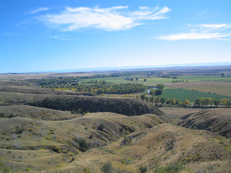
On the other side of the river, South Dakota offers a different variety of not much.  It's slightly lumpier and drier and more cow- and less maize-infested.  This is the view from a "Scenic Overlook" on I-90:
I kid you not.

South Dakota does actually have interesting things to look at, but they're all crammed into the bottom left-hand corner.  So you can drive across more lumpy prairie until your eyes glaze over, turn a corner and come face to face with this:
And this:
And these:
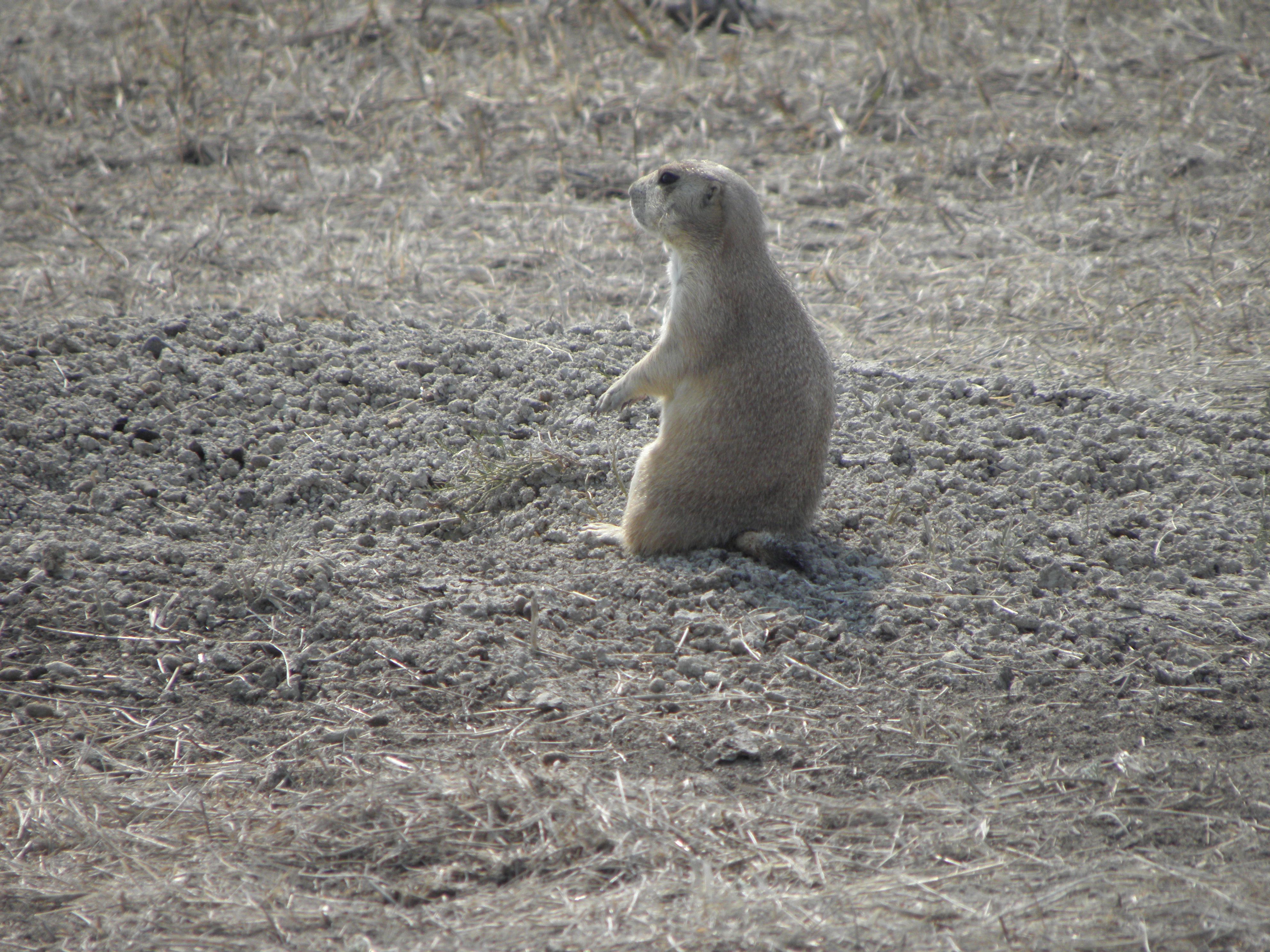
Prairie dog pitching for own TV series
And so on.  The Badlands, as they are known, are doubly jaw-dropping because they're in South Dakota.  You expect to find This Sort of Thing in for e.g. Utah or Arizona but certainly not here.  Anyway, they're teh Aces, and anyone seeking to slash the budget of the National Parks Service is almost certainly not fit to be President.

I have not been to the Badlands before as I didn't know they were here, because I didn't look at the map carefully enough when visiting not-far-away-at-all Mount Rushmore in whenever it was.  2011?  Anyway, I'm not going back to Mount Rushmore, because they haven't painted the heads green or anything.  I shall continue Westward Ho! tomorrow where it might be cooler.  Today's forecast was for 84 deg F but it hit 93 and the Nice Lady in the motel reception opined as how it is forecast to be hotter tomorrow, as I melted unappealingly across the floor of her office.

I don't know whether it's just because this is Labor Day weekend, but Rapid City, being the main metropolis for all the touristy bits, is charging way over the odds for accomodation.  I am in a place called the Avanti1, which is charging $180 for a room which, while perfectly serviceable, is no better than places I've paid half that for earlier this week.  Someone is having a giraffe, and it's not me.  AND their wifi is flakier than anything that isn't stuck in a cone of Mr Whippy.

  1. Which always makes me hear Peter Kay saying "Two more Lamb Bhunas over 'ere!  Avanti!"

Friday, 1 September 2017

Day 3: Kearney NE - Yankton SD

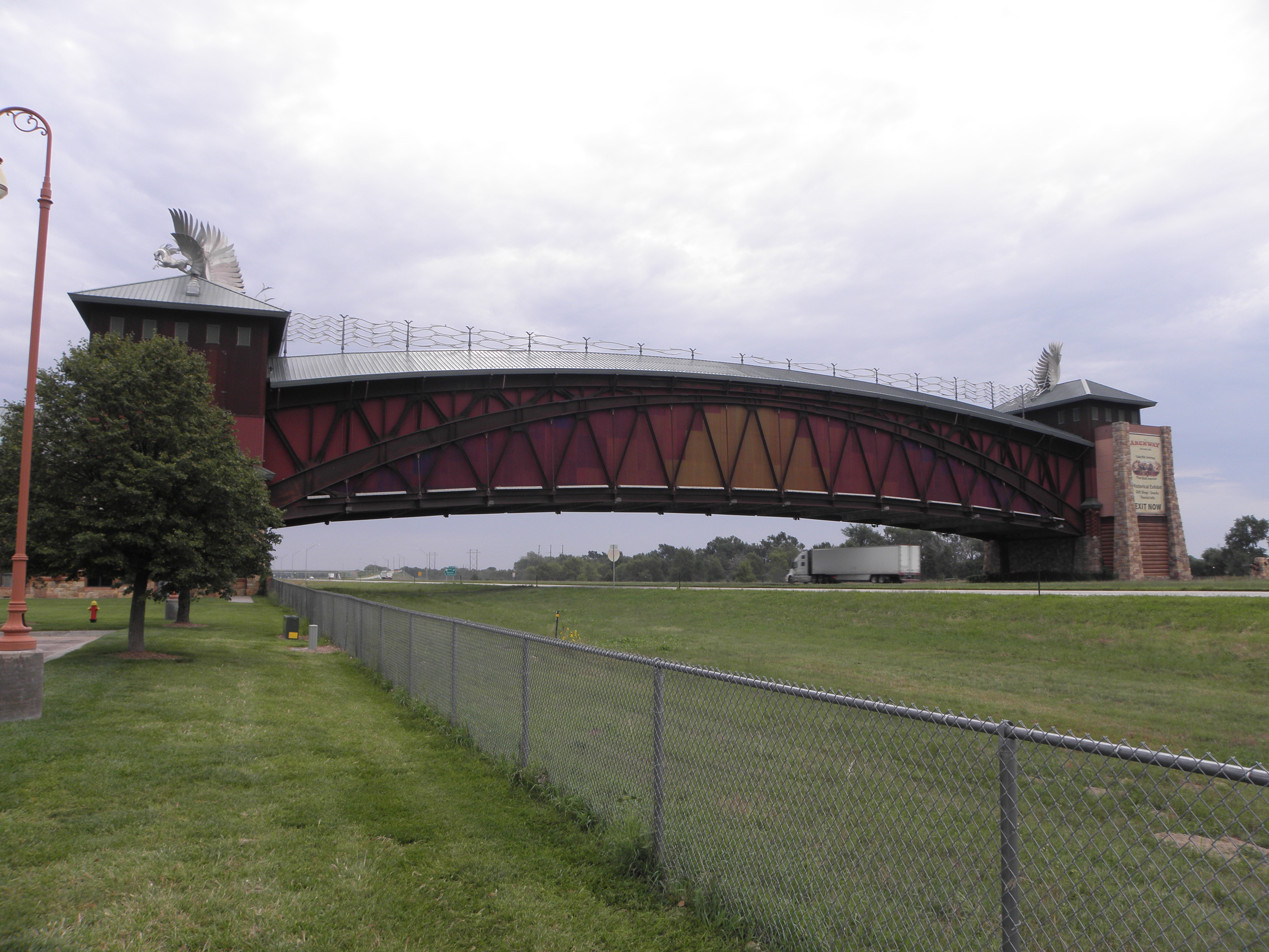
So, Friday.  It rained overnight, and was still doing so, albeit with little conviction this morning.  Top stayed up all the way to Omaha, but no great hardship as I had eschewed the scenic route in favour of a simple run down I-80.  Just outside Kearney is a this:

Apparently
The Archway is a museum of and monument to Nebraska's and the Platte River valley's role in westward expansion
which must cause no end of celebration among the Native Americans.  Though perhaps not as much as this advertising-announcement I saw later:
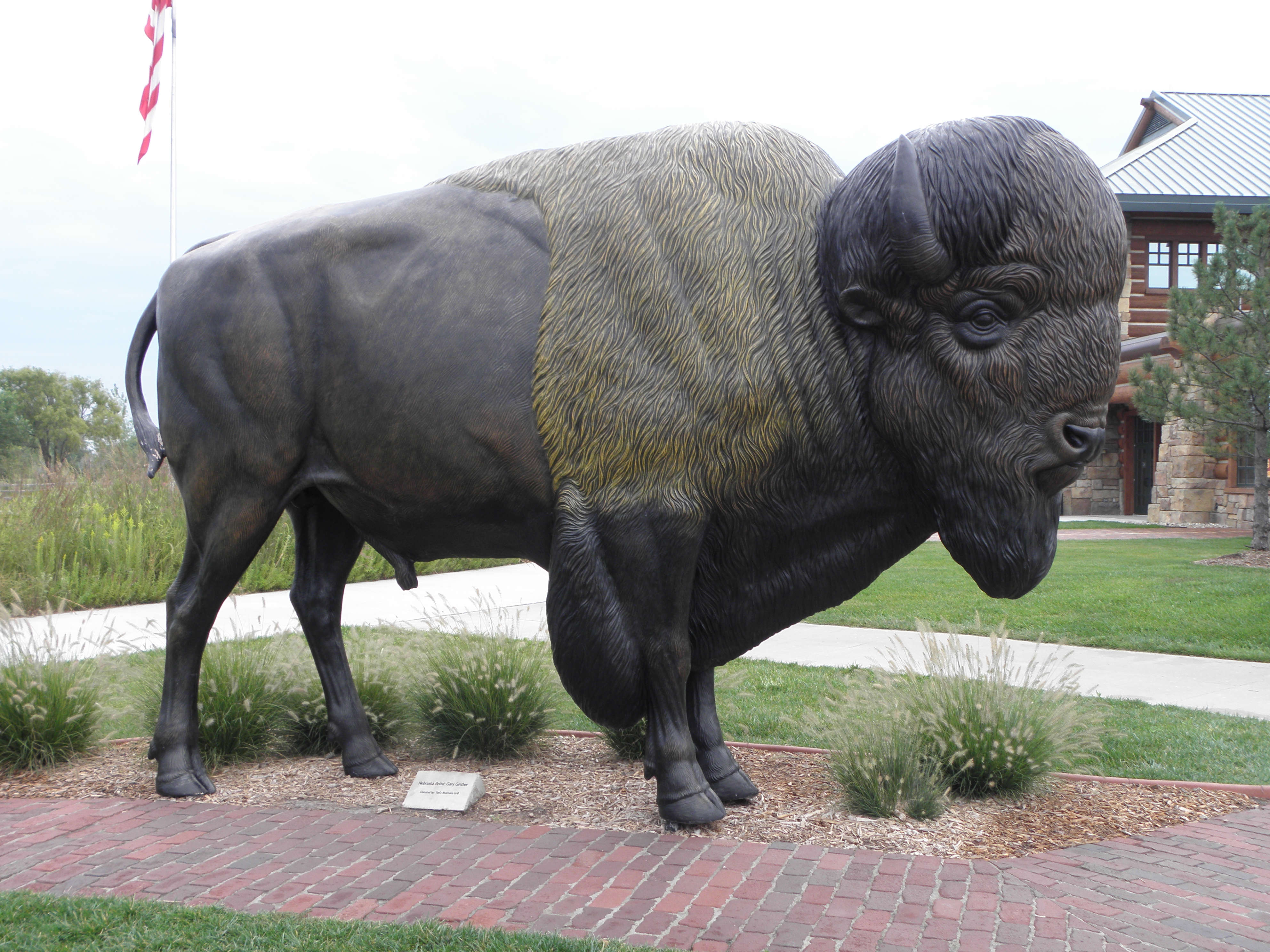
And they also have one of these:
which the Native Americans probably find a poor substitute for the real thing too.  Although it's one up on Milton Keynes.

So, Omaha, and indeed Council Bluffs, across the Mighty Missouri in Iowa.  For the Union Pacific Railroad has a museum in Council Bluffs - the first transcontinental line having kicked off its eastern end from Omaha.  The museum is surrounded by parking meters.  I have no change.  I mean, None.  At.  All.  I can install an app on my phone and pay that way.  I don't think so, not least because it would eat every last penny of credit I have on my account.  This is Iowa, remember, where you're not even allowed to smoke outdoors at Interstate rest areas.  So yea! And verily!  A resounding "Fuck Off" to the place.

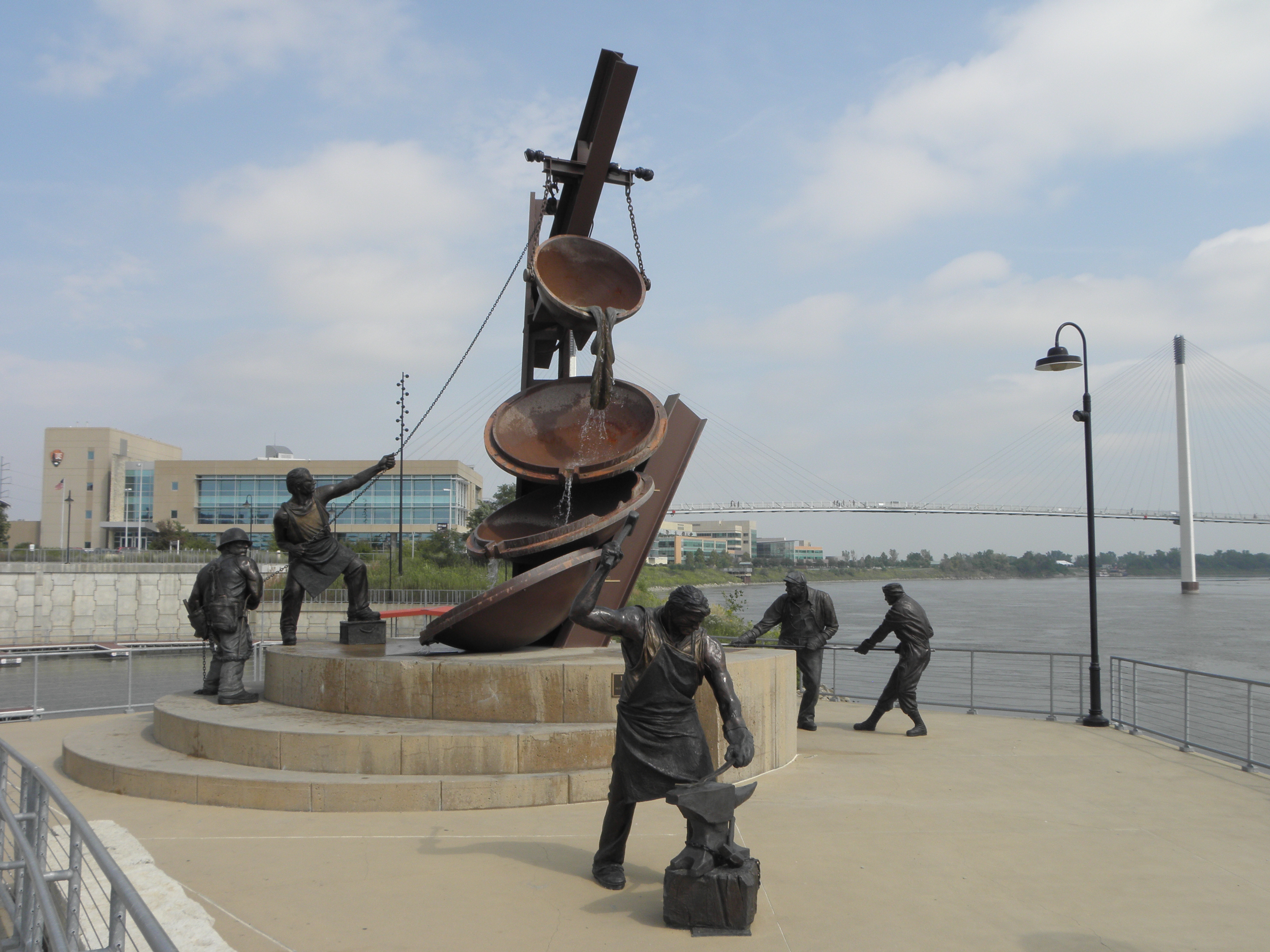
Back over the Mighty Missouri and to the Riverfront complex.  There is a bridge:
and a statue:
The latter - depicting as it does "Labor" - will probably be removed by enraged Republicans before long.

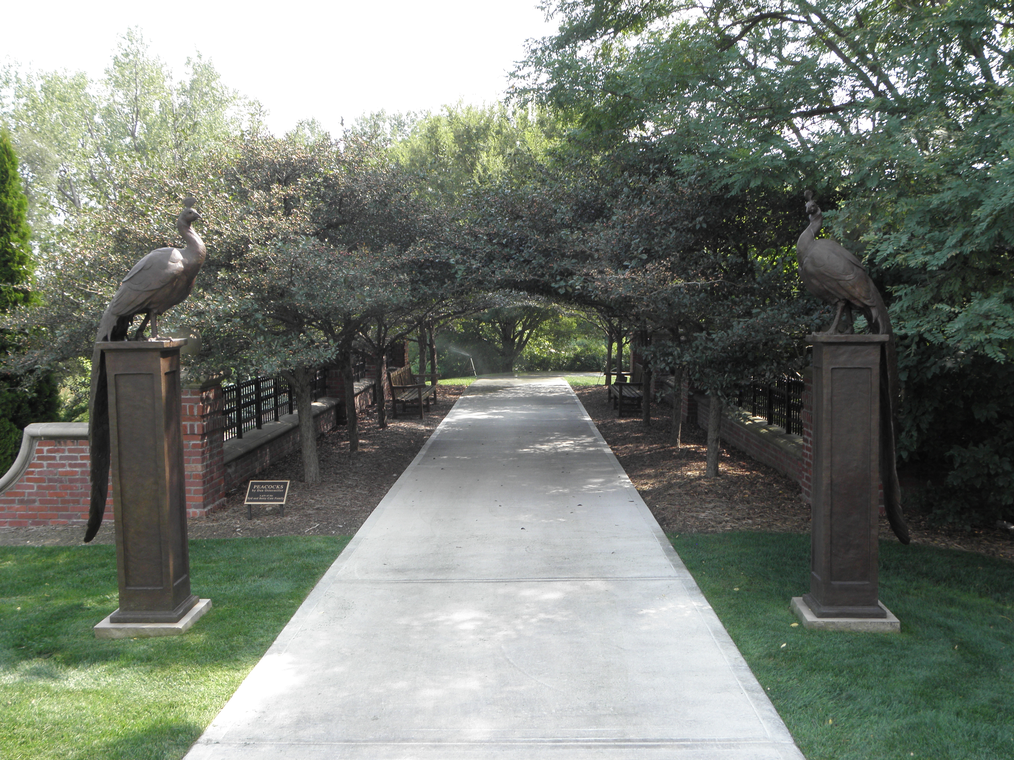
And then to Lauritzen Gardens and Kenefick Park.  These are next door to each other on the valley side.  The former is a dead restful and actually rather fab series of gardeny bits, or at least it would be restful were it not for the constant noise of I-80 just over there ==> and the occasional low-flying aircraft.  Some highlights:
EglÄ— the (Lithuanian) Serpent Goddess
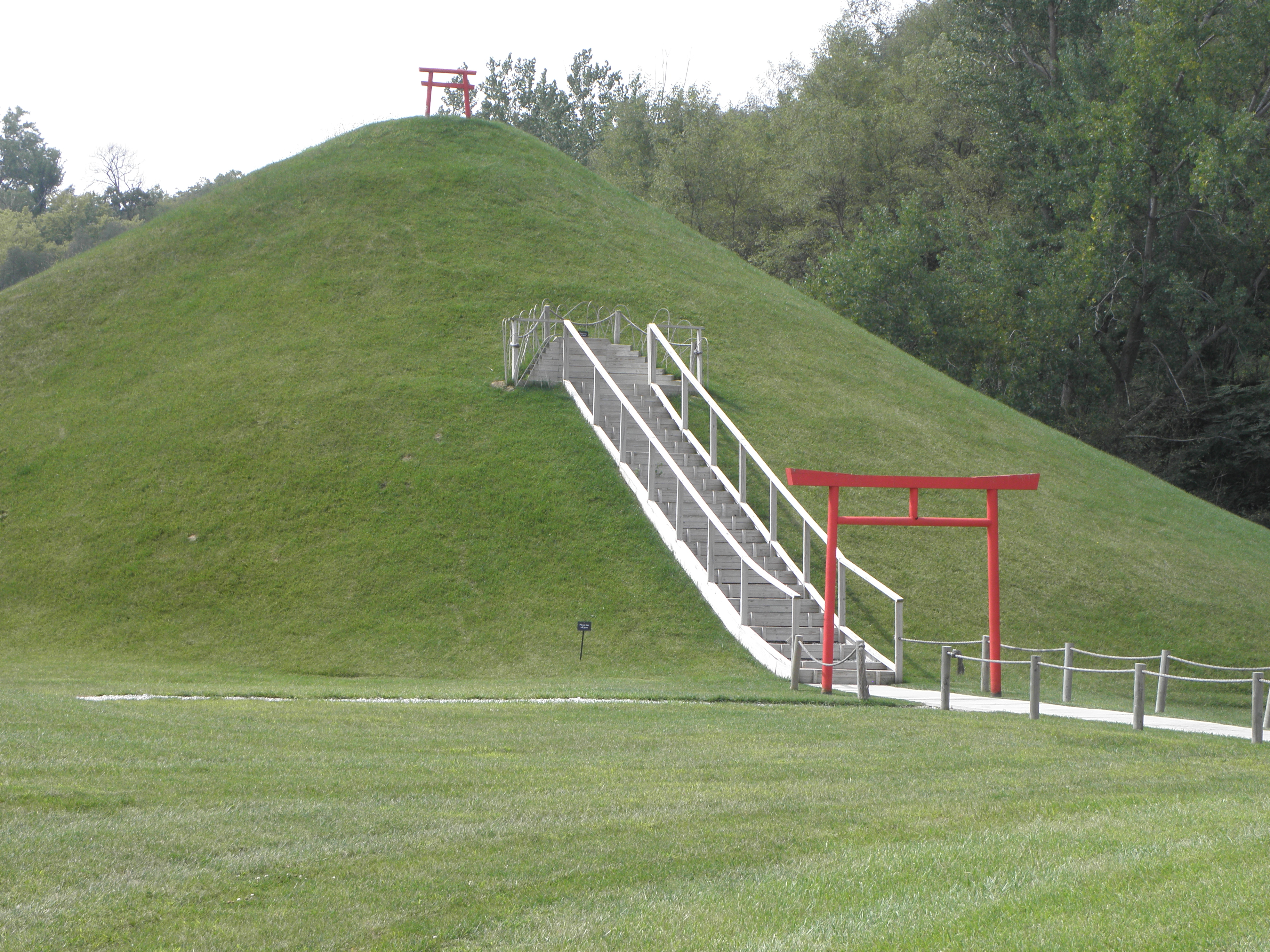
Mount Fuji (not actual size...)
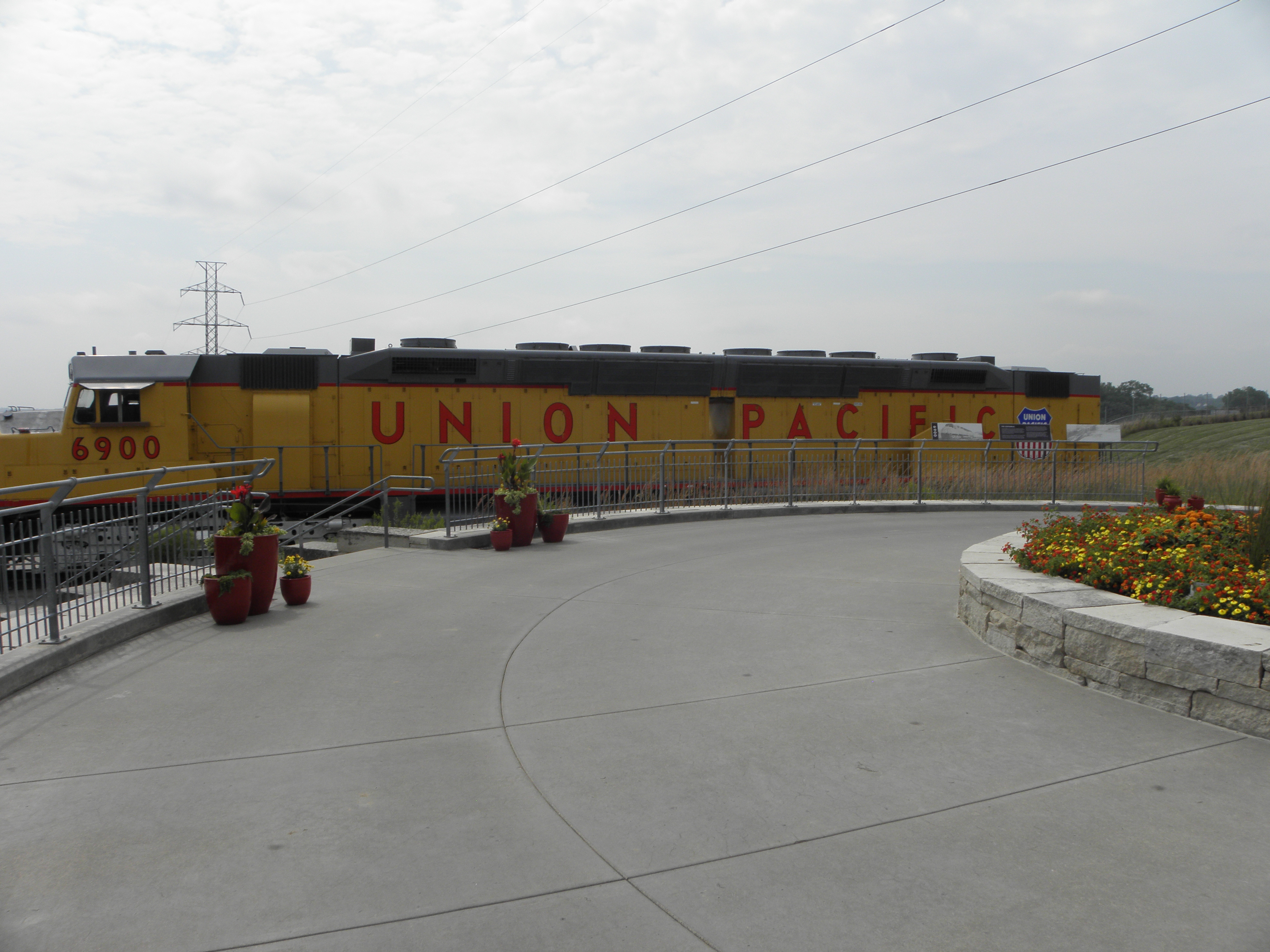
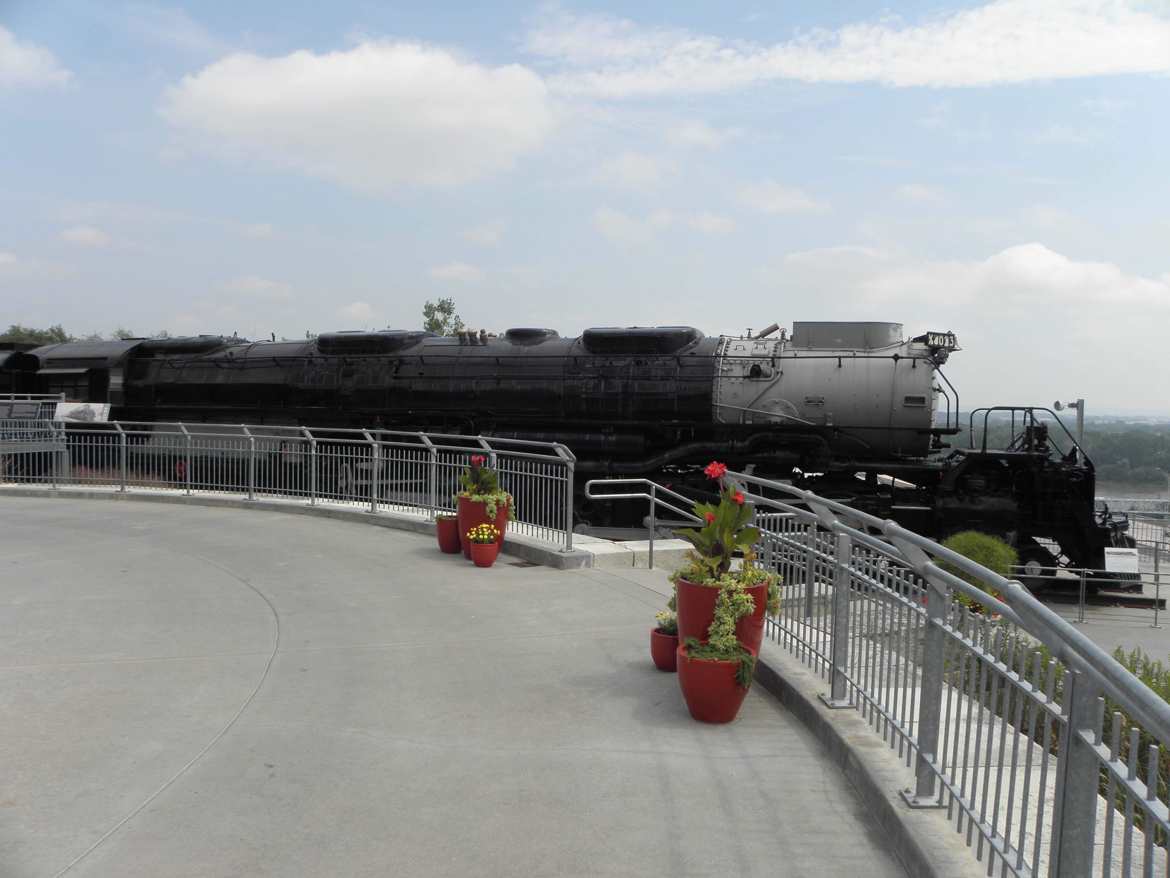
Kenefick Park exists only to accomodate a couple of GBFO Union Pacific locomotives; the snappily-named EMD DDA40X (aka "Centennial") and the American Locomotive Company 4000-class 4-8-8-4 "Big Boy".  The former is 30 metres long and weighs the thick end of 250 tonnes; the latter is even more biggerer and heavier.  And there they sit, perched on a hill above the freeway.  How the blazes did they get them there?
...but I made a bit of a bish and didn't fit it all in...
...but I couldn't walk far enough backwards to get all of this one in!
Time for Emily to earn her pay again.  The motor-car has a built-in TwatNav, but so far I have only used it in small doses, because there's no way to change the voice and being given directions is very much like being harangued by Sarah Palin.  Emily has seen me to Yankton SD, via not-the-Interstate and through more rain.

Yankton is famous for, er, well, it will be famous for a triple canine slaying if the fucking hounds of hell in the room next door don't STFU.  I am tempted to dob them in to The Mgt, as Teh Roolz say "pets must not be left unattended", which these clearly are.  Which would start off someone's bank holiday weekend very nicely indeed.  Alternatively, I could just make an unholy row while getting up, getting packed and getting noisily underway with a nice loud V8 tomorrow morning.  Bah!