Edit: the pictures have now uploaded but it's past midnight so the words will have to wait. Emily would have been pensioned off if Wolmart in Cedar City had had the TwatNav I had my eye on actually in stock. $96 and I think the same one costs over two hundred quid back home, which is probably a metaphor for Brexit.
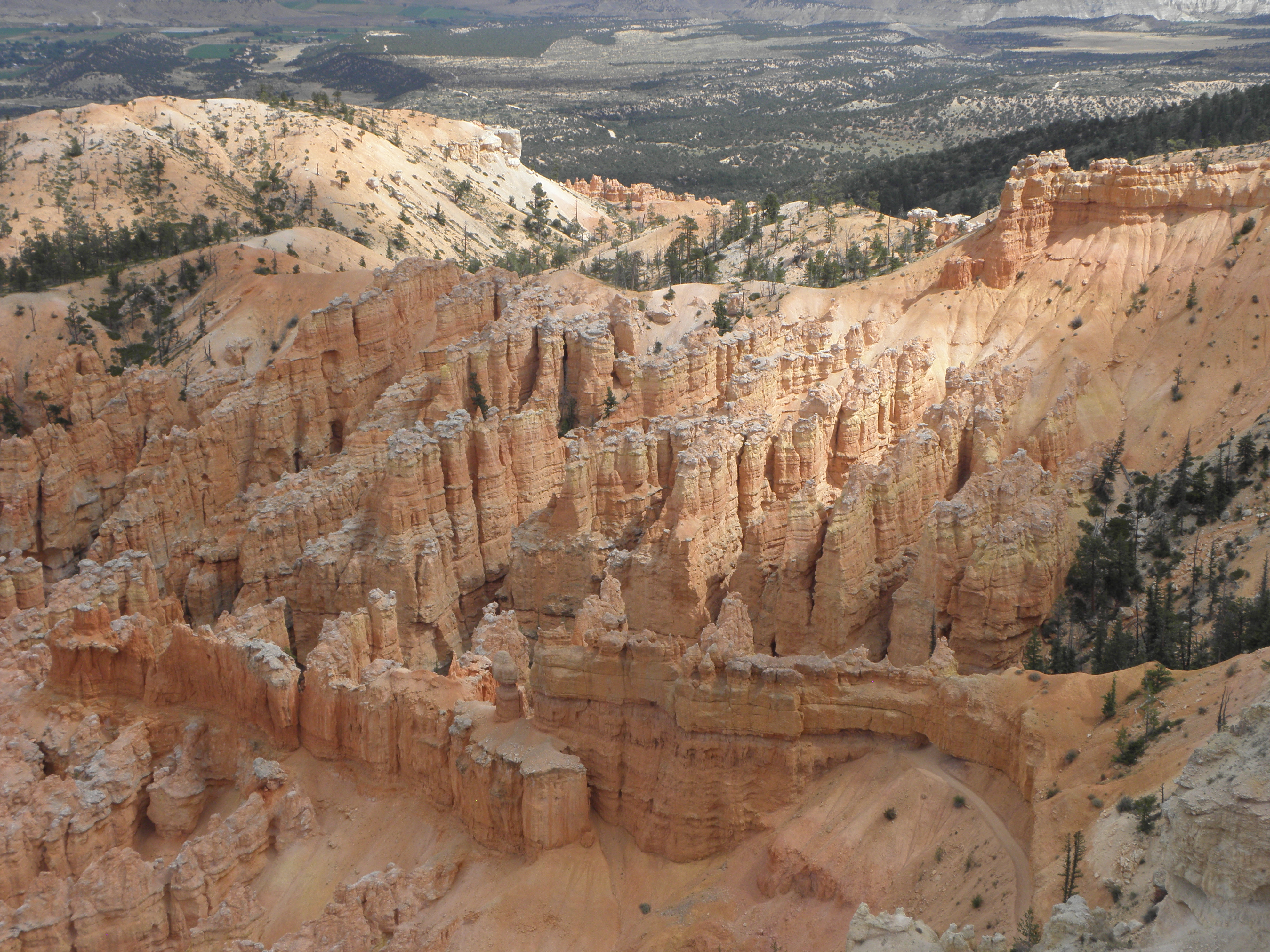
Edit 2: Ok, you fussy buggers, some words to go with it. The quickest way to Bryce Canyon involves blatting north up I-15 at 85 mph, turning east over a gert big set of mountains and then turning south again down US-89. I would call this a Big Fat Lie if it were not for the roadworks up Cedar Canyon which, I assume, are still there. I've passed by the front door of Bryce quite a few times over the years but only went in once, in 2003. And promptly got some grit in my eye which played havoc with my contact lens and made the whole visit rather grim. Anyway, there are no longer contact lenses in my face, I haz a better camera, and, well, Bryce Canyon. After a few minutes you run out of adjectives.
 |
| Yovimpa Point |
 |
| Black Birch Canyon |
 |
| Nevermore! |
 |
| Agua Canyon |
 |
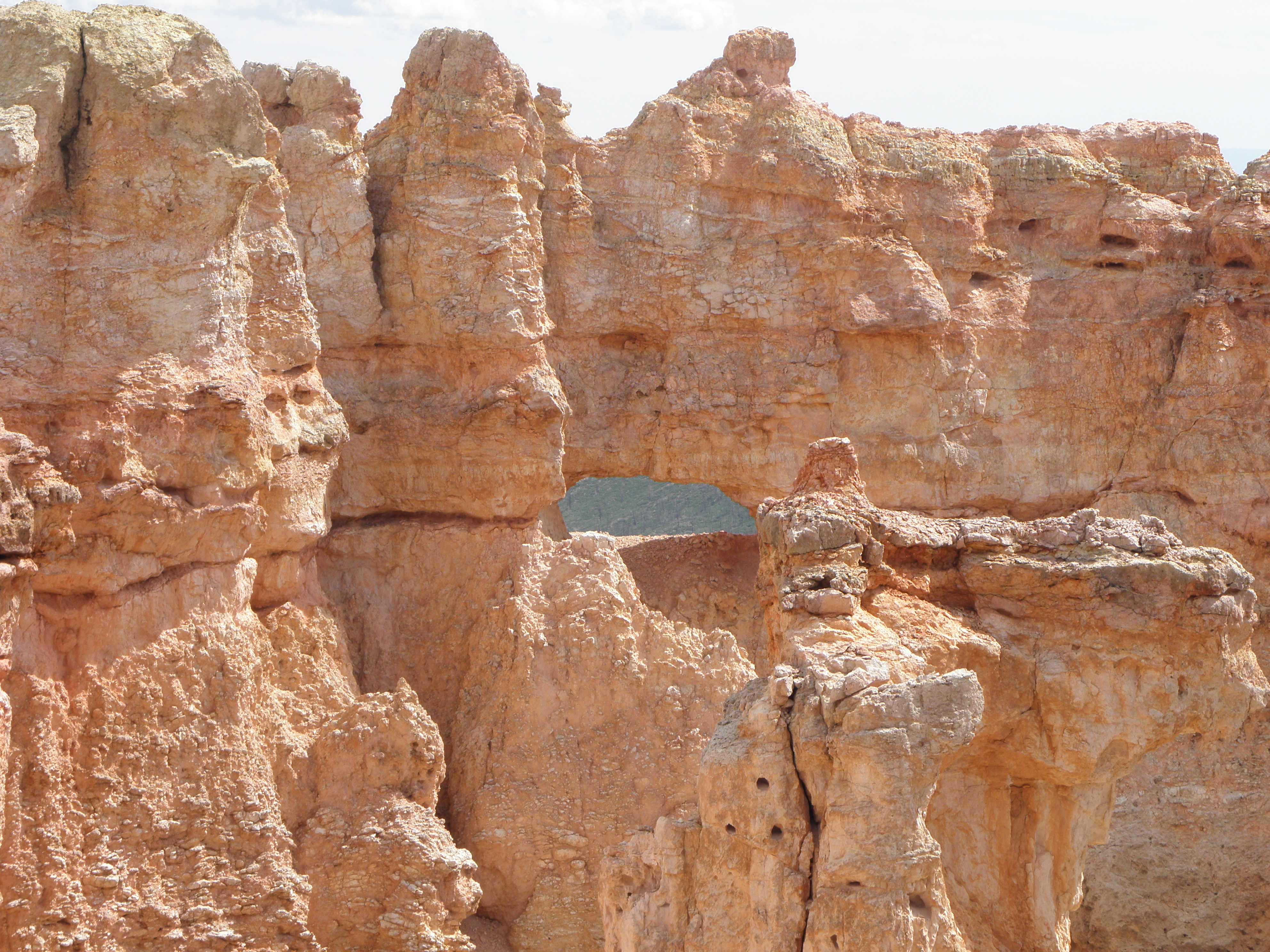
| Natural Bridge |
 |
| Bryce Point |
 |
| Small but perfectly formed snek, Paria View |
 |
| Fairyland Canyon |
Kolob Canyon is a five mile dead-end drive, and contains plants and birds and rocks and things, and sand and hills and rings ["Are you sure about that last one?" - Ed.]
 |
| Hanging valley off Kolob Canyon |
 |
| Not actually an actual dog |
 |
| Somewhere up Kolob Terrace Road |
 |
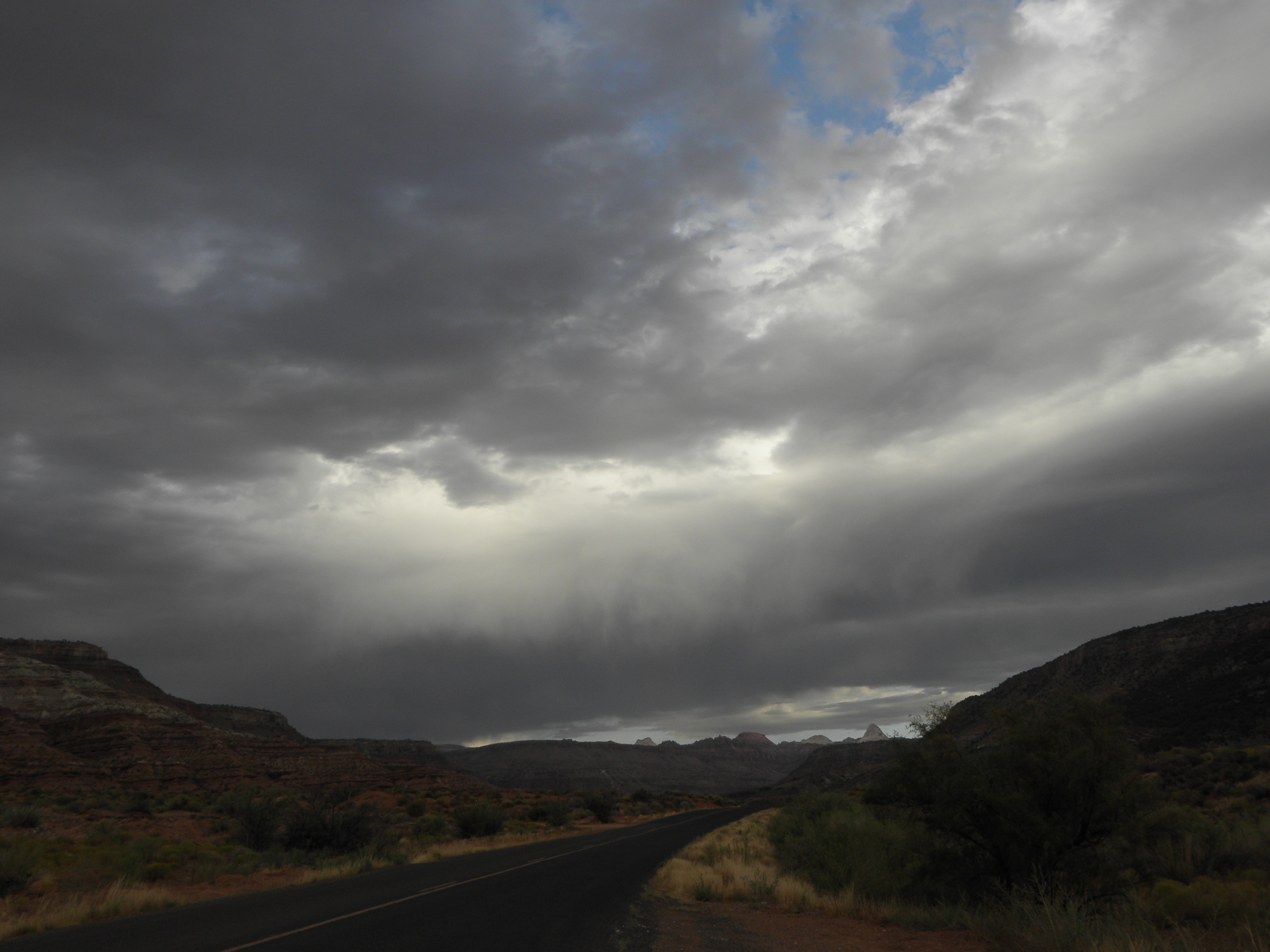
| Gathering dusk at Kolob Reservoir |


Those are fabulous pictures. But, eek! A rattlesnake ?
ReplyDeleteNot sure what kind of a snek he was. He wasn't rattling at anyone and he wasn't very big either: maybe two and half feet long and skinny with it.
DeleteInteresting factoid: immediately above th desk I'm sitting at is an arty B&W photo of the Spider Rock in the Canyon de Chelly...