Anyhoo, although it's spelled "Chelly" this is a Spaignish version of the Navajo word "Tséyiʼ", meaning "canyon". So, Canyon of Canyon, then. And it's pronounced "Che", like the stadium. It has a South Rim and a North Rim and I went up the former first, because why not? You can also go up the middle, but only if accompanied by a Navajo guide. The first overlook or two were frankly a bit Meh! in comparison with some of the bonkers scenery to be seen in this part of the country but the views get steadily more Wowsa! the further up you go, culminating in Spider Rock. It looks nowt like a spider, but was supposed to be the home of the Spider Grandmother, who probably pops up in a Neil Gaiman novel. Does she? Anyway, a selection of pixtures and as per ushual you are encouraged to look at the full-sized versions on Flickr, preferably on a Proper Computer and not a bloody telephone.
 |
| Tunnel Canyon Overlook. Meh. |
 |
| Junction Overlook. Better. |
 |
| Sliding House Overlook. Approved. |
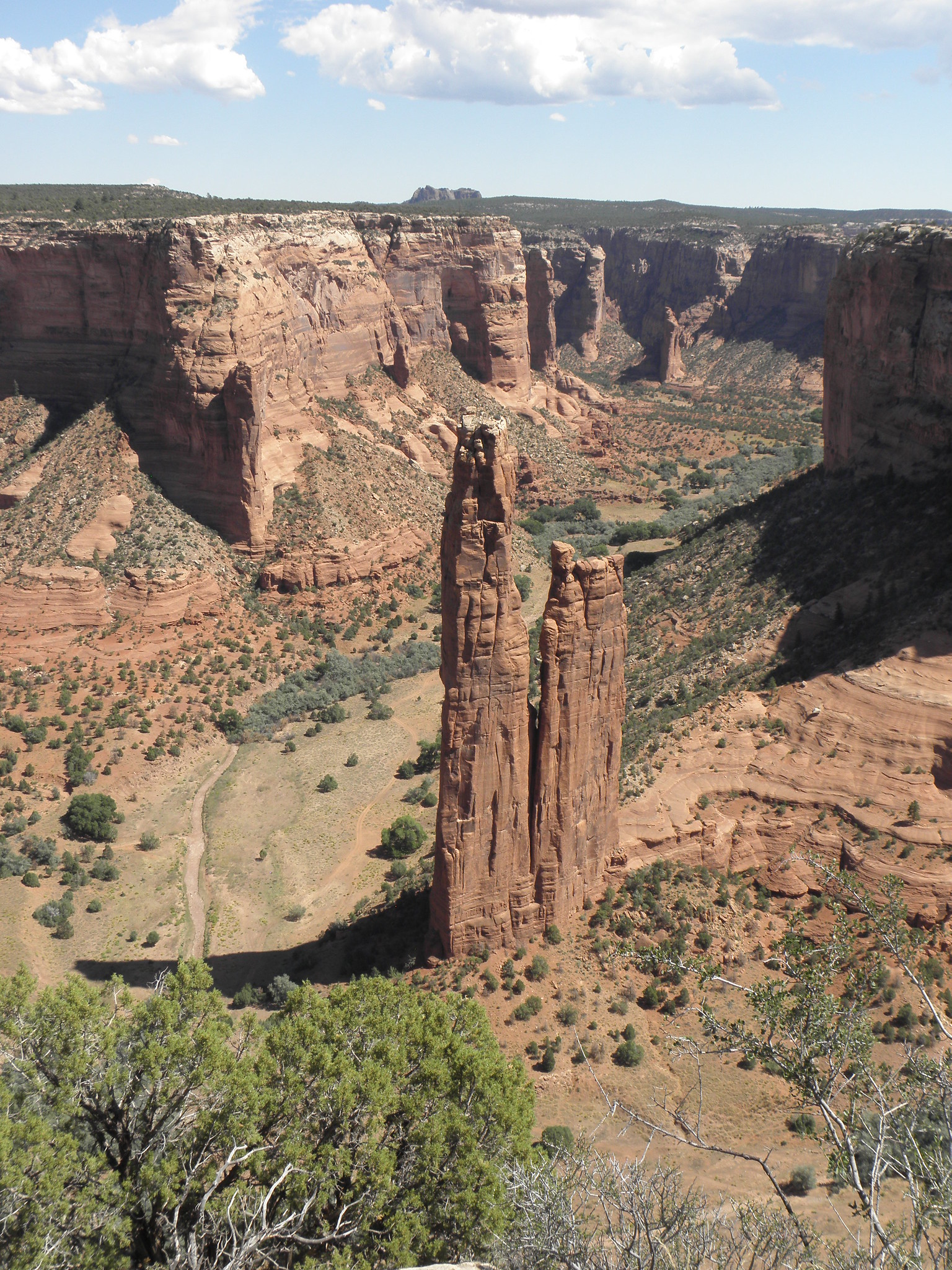 |
| Spider Rock. OK, I'm impressed... |
 |
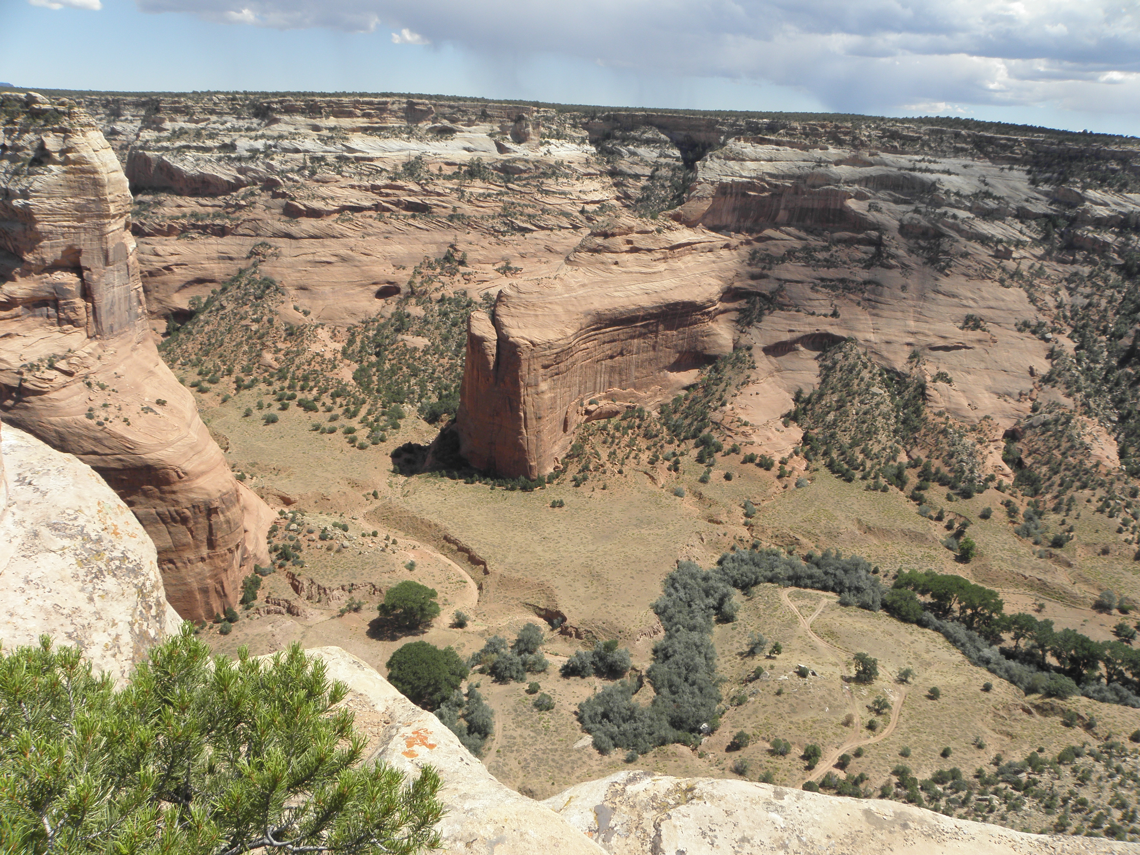
| Antelope House Overlook |
 |
| Ruins at Antelope House Overlook |
 |
| Mummy Cave Overlook |
 |
| Massacre Cave Overlook |
 |
| San Juan River at Goosenecks State Park |
 |
| Monument Valley from quite a long way away |
 |
| Halfway up a cliff, Utah, Tuesday |
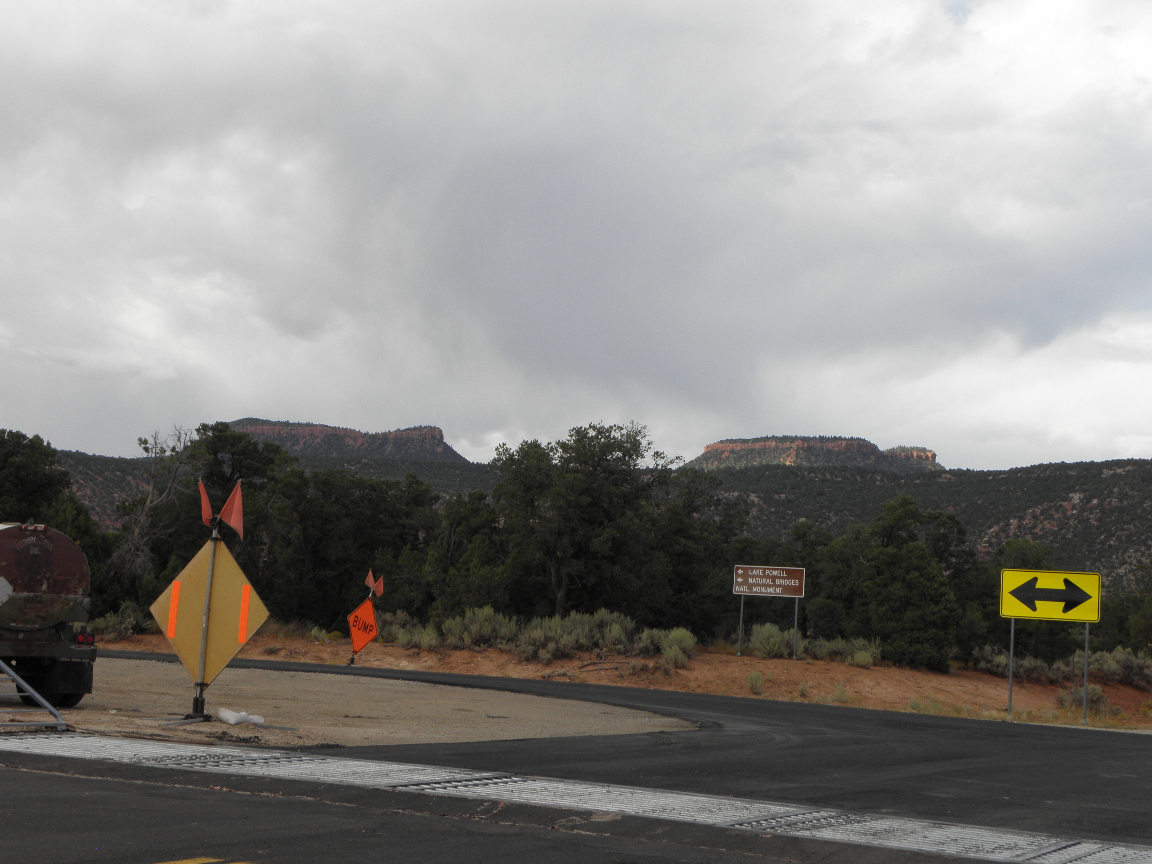 |
| The BEAR's Ears, either side of that bush. Keep your tiny hands off them, you tangerine twatwaffle! |
1: Bureau of Indian Affairs


No comments:
Post a Comment
O hai, spammers!
All comments are moderated so don't bother.
Kthxbai!