Wind. Still, although it rained overnight is was dry and mostly warmish by the time I left. Lewis & Clark camped on the opposite side of the river from Lewiston & Clarkston but there's not much sign of them there these days. There is, however, a "Lewis & Clark Center" just at the confluence of the Clearwater and Snake rivers.
 |
| Nautical berks at the junction of the Clearwater (R) and Snake Rivers, Lewiston ID |
Just a few boards and a sculpture-thing shewing the beasts of the field and birbs of the air encountered on the journey. Plus one or two others that no-one mentioned.

I decided it might be a Good Thing to go back up Lewiston Hill and check the place out from on high again, as the last time I was hereabouts, in 2017, there was so much smoke in the air that it was impossible to see the top of the hill from river level.
 |
| Lewiston (L) & Clarkston, separated by the Snake River |
Having now recovered from semi-starvation, gluttony and canoe-building our 19th century chums took off downriver at a great rate, anxious to make the Pacific before winter set in in earnest, and sometimes covering sixty miles a day. The Snake and Columbia rivers were not the placid sluggards we see today thanks to the US Army Corps of Engineers but contained rapids, some more navigable than others. The Captains were torn between the safer option of portaging round the white water and pressing on regardless, with the latter usually favoured. On at least one occasion on the Columbia the locals turned out mob-handed to watch the spectacle, no doubt hoping that Whitey would make a complete tit of himself and possibly even drown utterly to DETH.
While it is possible to follow the north bank of the Snake fairly closely for a few miles west of Clarkston this Unit didn't bother and reëncountered it at Lyons Ferry where, at the confluence with the Palouse River, there's a nice little state park with no-one around to collect your money. Lewis named the Palouse the "Drewyers River" after Corps member George Drouillard, because neither he nor Clark could spell worth a damn, or even mis-spell consistently.

A Several of miles further on the Snake finally runs into the Mighty Columbia in what is now Pasco WA where, in the midst of a million railway lines and pollution factories lies the rather unexpected Sacajawea State Park. Where, unfortunately, there was someone to relieve me of ten of your Earth dollars for admission. Wind.
 |
| Confluence of the Snake and Mighty Columbia Rivers |
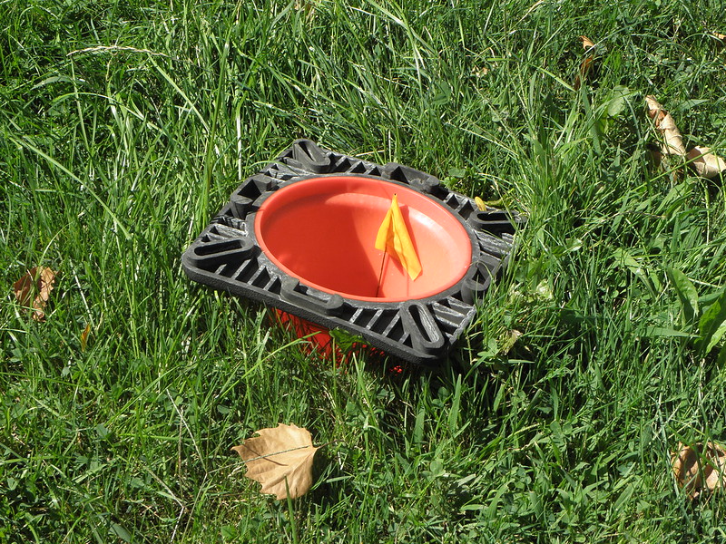 |
| A traffic cone excavating its burrow for winter hibernation |
 |
| Sacajawea State Park, Pasco WA |
Because much of what was there in 1805-6 is now under many feet of water there ent a lot to see down the next stretch thought at least a fair bit of it is actually next to the river. Unfortunately I was unable to snap a picture of the first piece of commercial boat traffic - a river cruise ship - I've seen on the Columbia in three trips down the Gorge, but it's nice to know that it does actually exist. Wind
A line on the map means that Washington has turned into Oregon, but they're barely distinguishable in most respects except that the speed limit in OR is lower. Low brown hills not covered in wheat, mostly, because the harvest has been and gone. Last port of call for today was Hat Rock.

If Christo wasn't dead he'd probably have wrapped in in leopardskin-print plastic. Hopefully there will be less Wind tomorrow, and a Happy Birthday to Professor Larrington, whose birthday it is.


No comments:
Post a Comment
O hai, spammers!
All comments are moderated so don't bother.
Kthxbai!