Foggy at first but at least I didn't have far to go to fill up with petril.
 |
| No, "Rainier Fog" was by Alice In Chains, not Nirvana, and we're nowhere near Mount Rainier either |
Should have resisted though as it was 25 cents a gallon cheaper ten miles down the road in Furryboottoon USA.
 |
| Though if you use my traffic mod in American Truck Simulator the bottom bit reads "Birthplace of Kurt Cobain" |
Kurt Cobain is, of course Aberdeen's most famous export:


 |
| He claimed to have slept under this bridge but Krist Novoselic says that's bollocks because the tide would have washed him away |
Though the neighbours aren't convinced:


Once out of Aberdeen and Hoquiam US-101 is almost empty save for the logging trucks. These do not get in the way, however, since they are the second fastest vehicles ever to hit the public highway, behind only the Bedford Astramax van. Occasional stops for roadworks - including the set wher I arrived just as the light turned red and had to wait ten minutes - were not actually the rage-inducing occurrence they might have been elsewhere. And where else could you find one of these:

???
The name Humptulips was the name of a band of the Chehalis tribe who lived in the area. The name comes from a local Native American language, meaning 'hard to pole', referring to the difficulty local Native Americans had poling their canoes along the Humptulips River. According to other sources the word means 'chilly region'. It has frequently been noted on lists of unusual place names.
As you can see, 'twas a luvverly day once the fog burned off. The 101 bogs off inland for no readily apparent reason but then changes its mind and returns to the seaside, which looks like this:
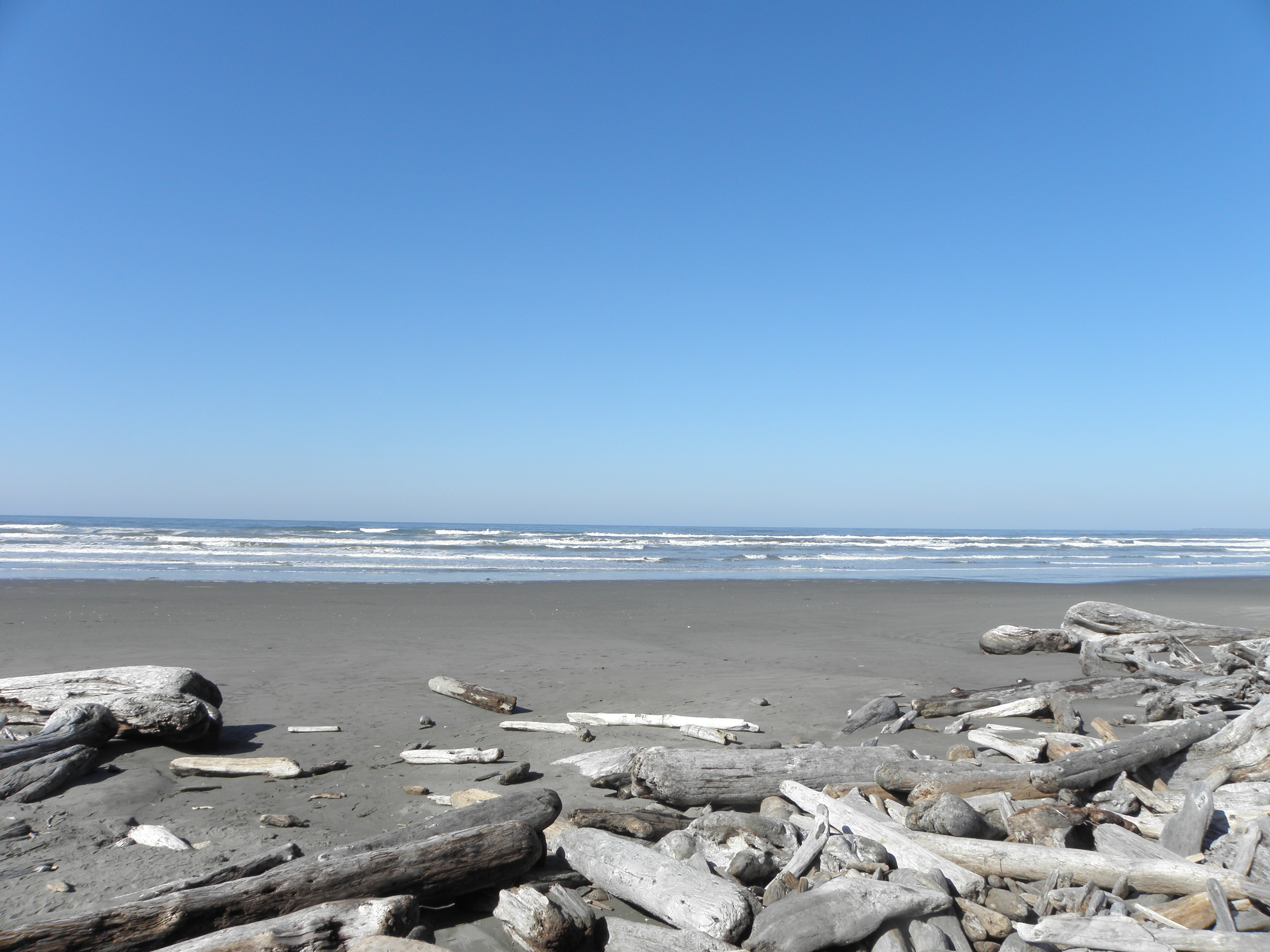 |
| A the Pacific Ocean, Thursday |
And also this:
 |
| Destruction Island |
 |
| Ruby Beach |
If you get bored with US-101 you can turn northwest on WA-113, which subsequently turns into WA-112 without due care or attention and leads ultimately to Neah Bay. At this point Giffgaff thought I was actually in Canada. Durrr!
 |
| Them hills in the background are Canada |
The crappy road atlas says this is the end of the road but you can drive a few miles further until a cheery chap from the Makah tribe will give you a hangy-dangy thing to go in your window and a map. In exchange for twenty of your Earth dollars, obv. Then you can drive a few more miles until the road really does stop, because it has run out of USAnia to be in.
 |
| Time to turn round and drive to Key West |
From here you can, as the sign suggests, walk to the Mighty Pacific Ocean. If the trail were on Federal or State land The Man would probably have bulldozed a path through the forest and installed concrete steps, but this is the Makah Reservation so the locals can give Whitey the finger.

Once you get to the end of the trail the views are stunning, albeit tempered by the fact that you still have to get back to the car park and it's uphill all the way chiz.

 |
| Tatoosh Island |

Back to the 101 via the three-dimensional but bouncy WA-112 and then through Port Angeles before turning off to Port Townsend. Only 150-odd miles to Sea-Tac tomorrow and I've lined up a petril station nearby which isn't the one that wouldn't accept my cards in 2015. The downside is the Several of hours between dropping off the Cranky Old Grid (which papers in the glovebox suggest may have originally been registered in Hawaii before emigrating to Arizona!) and the Shiny Metal Birb wafting me back to the delights of LHR and the Piccalilli Line. I may post an update from the airport tomorrow, depending on what sort of wifi access they offer, but I ent paying for it.


No comments:
Post a Comment
O hai, spammers!
All comments are moderated so don't bother.
Kthxbai!